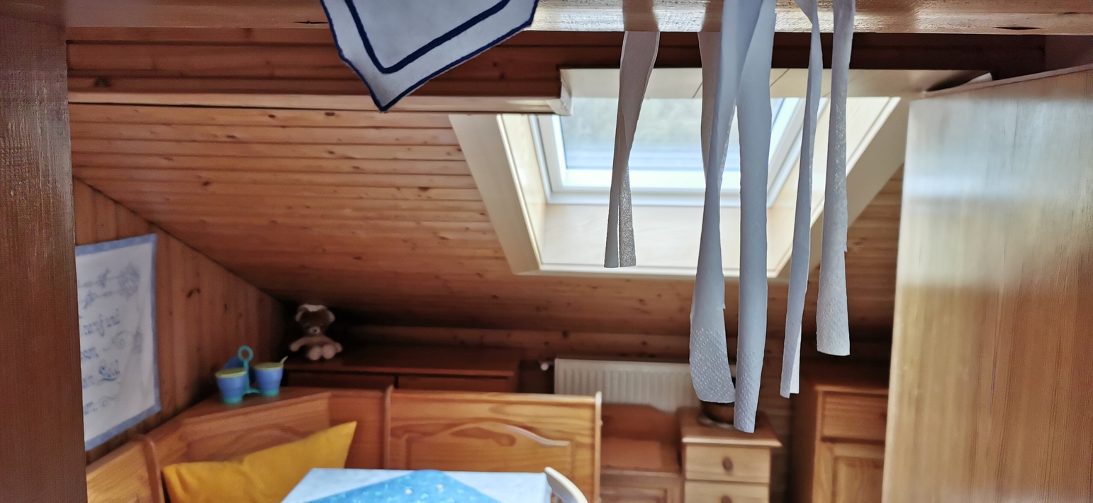
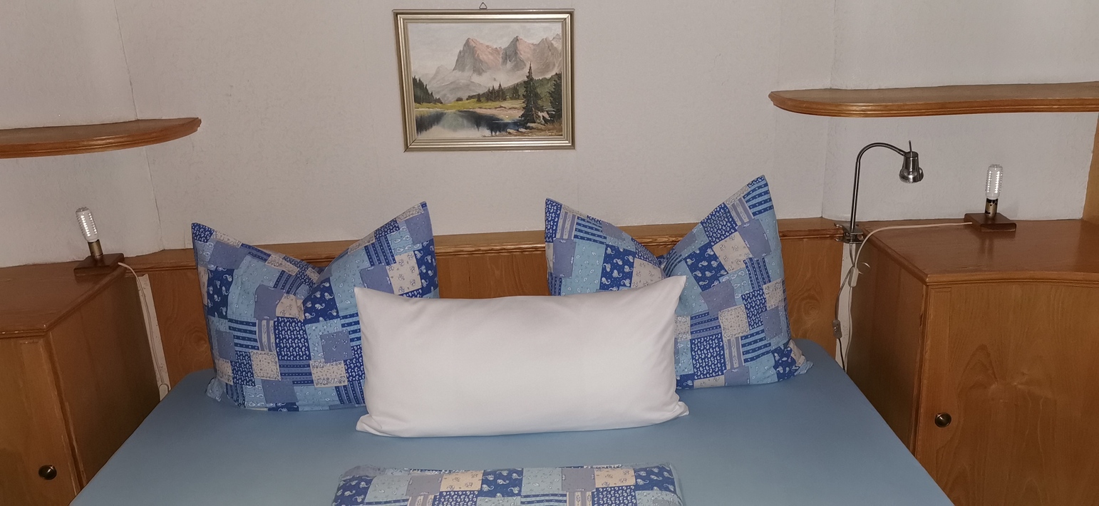
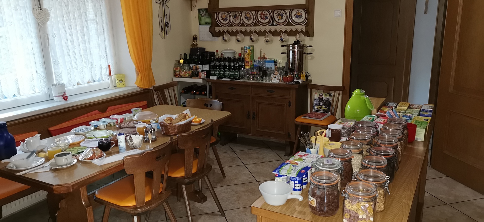
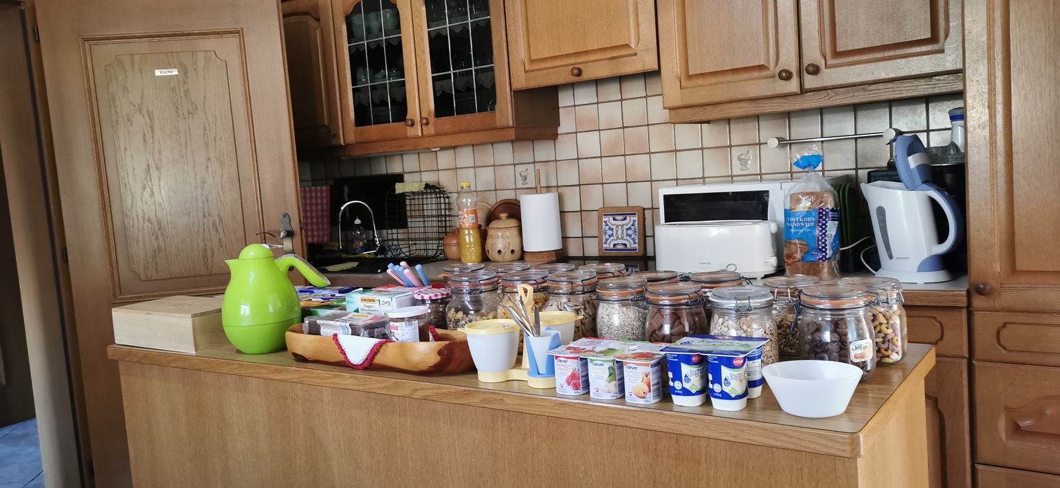
Übernachtung in einer kleinen Pension in Unterkolbnitz mit super Frühstück. War leicht schattig in der Früh – 0° – nach 10 Kilometer zum Aufwärmen nach Obervellach, dann mit der Bim die riesige Alpenüberquerung…
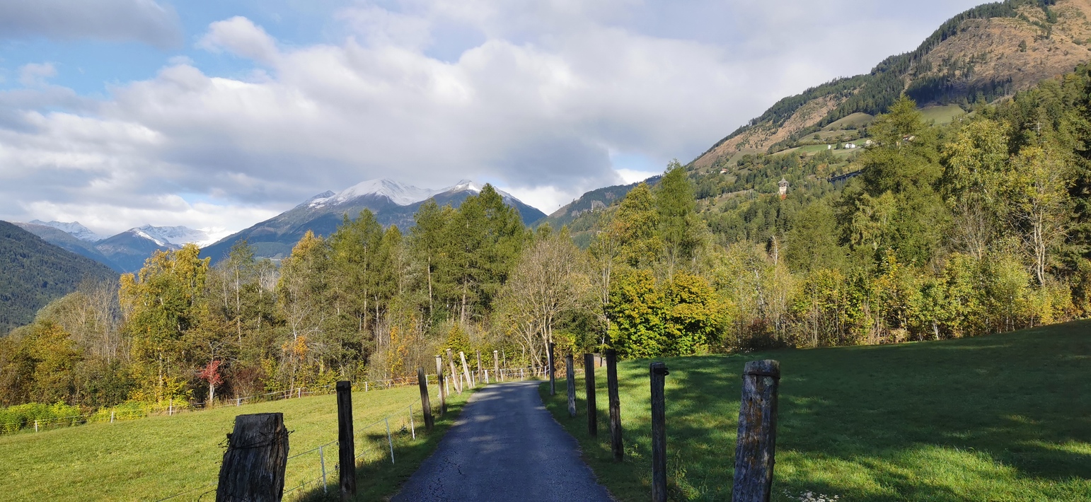
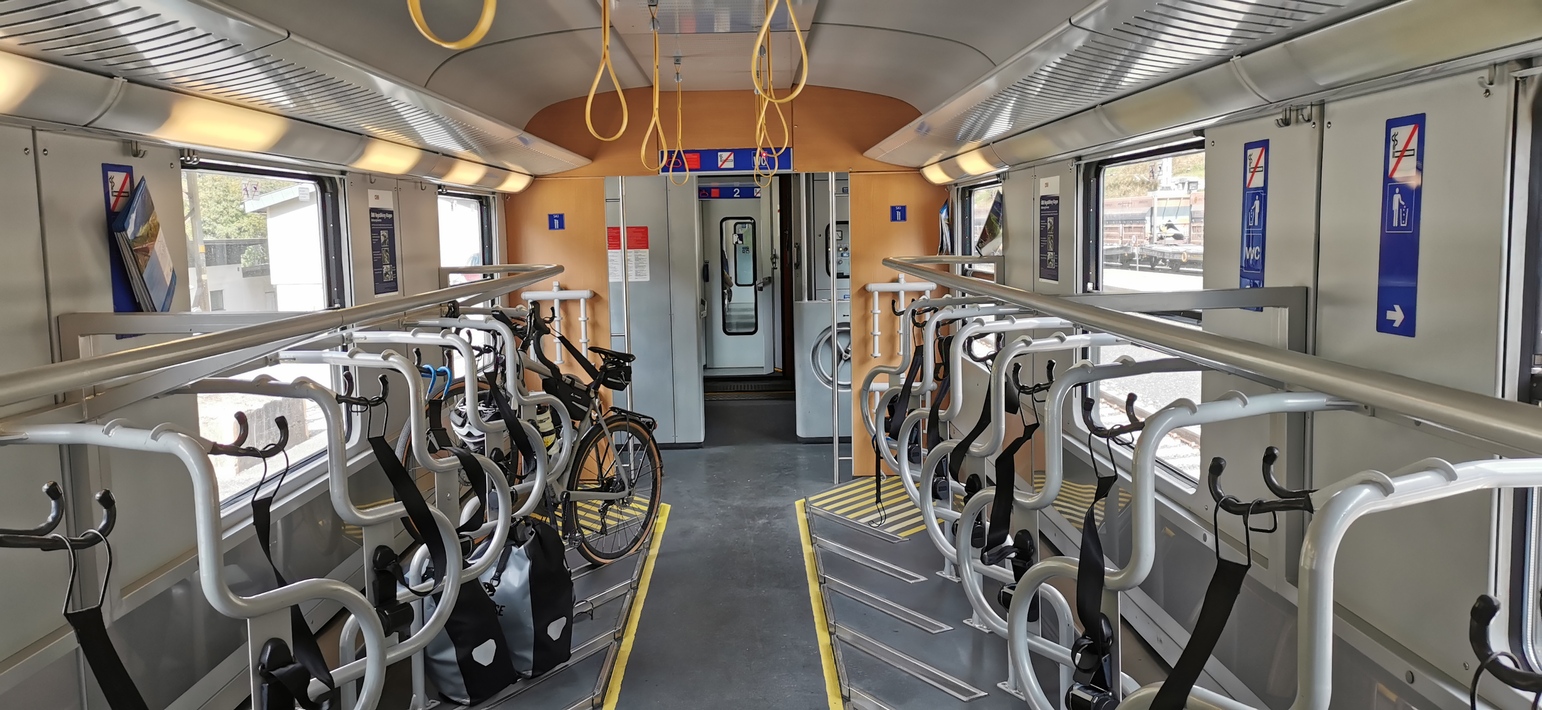
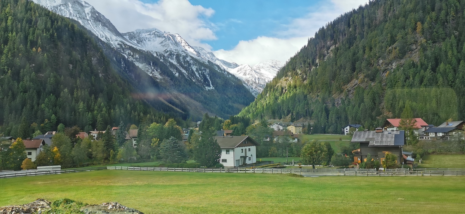
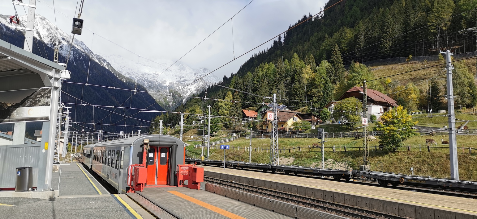
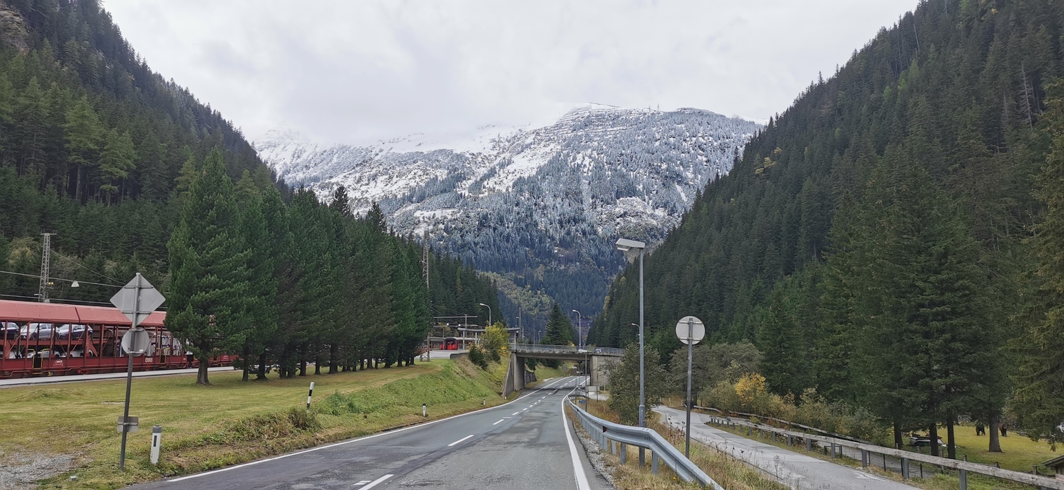
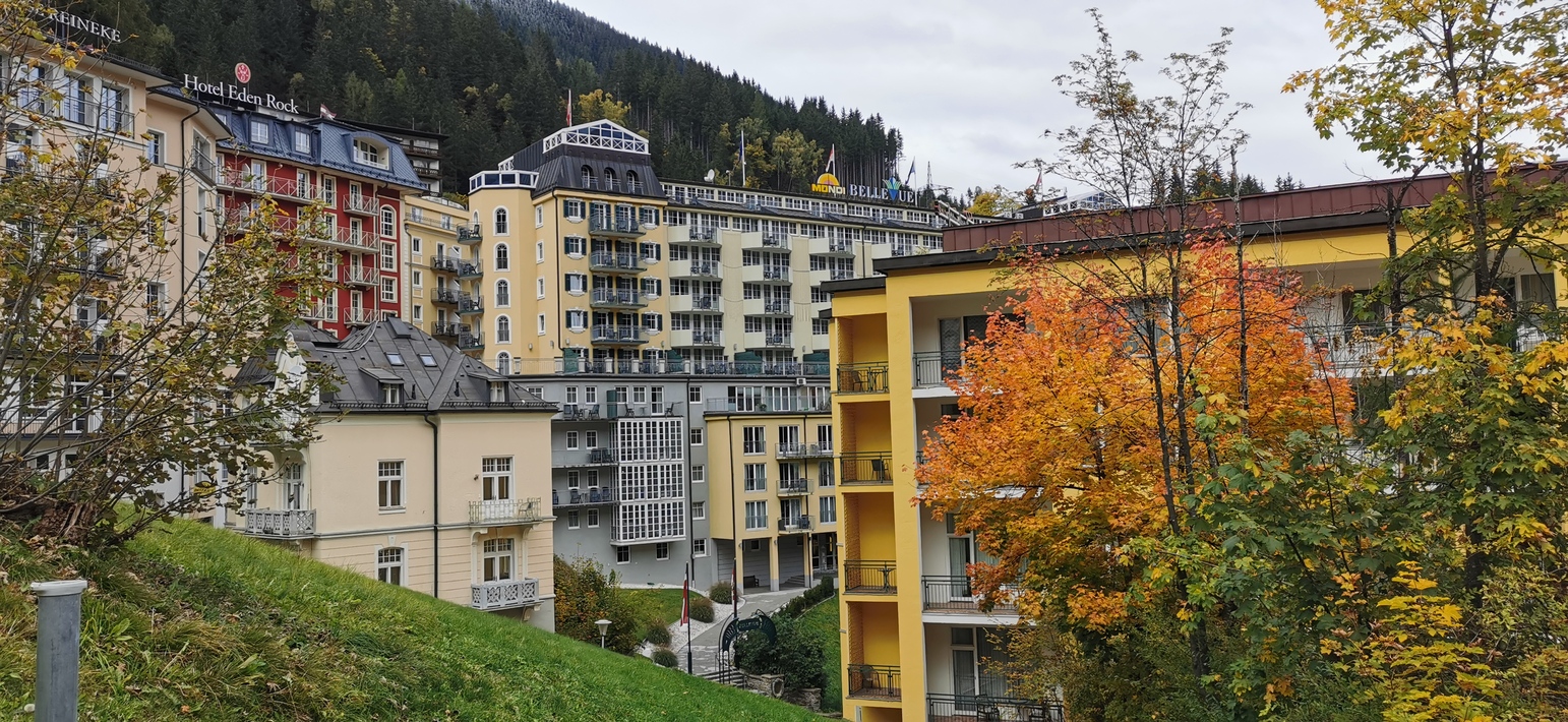
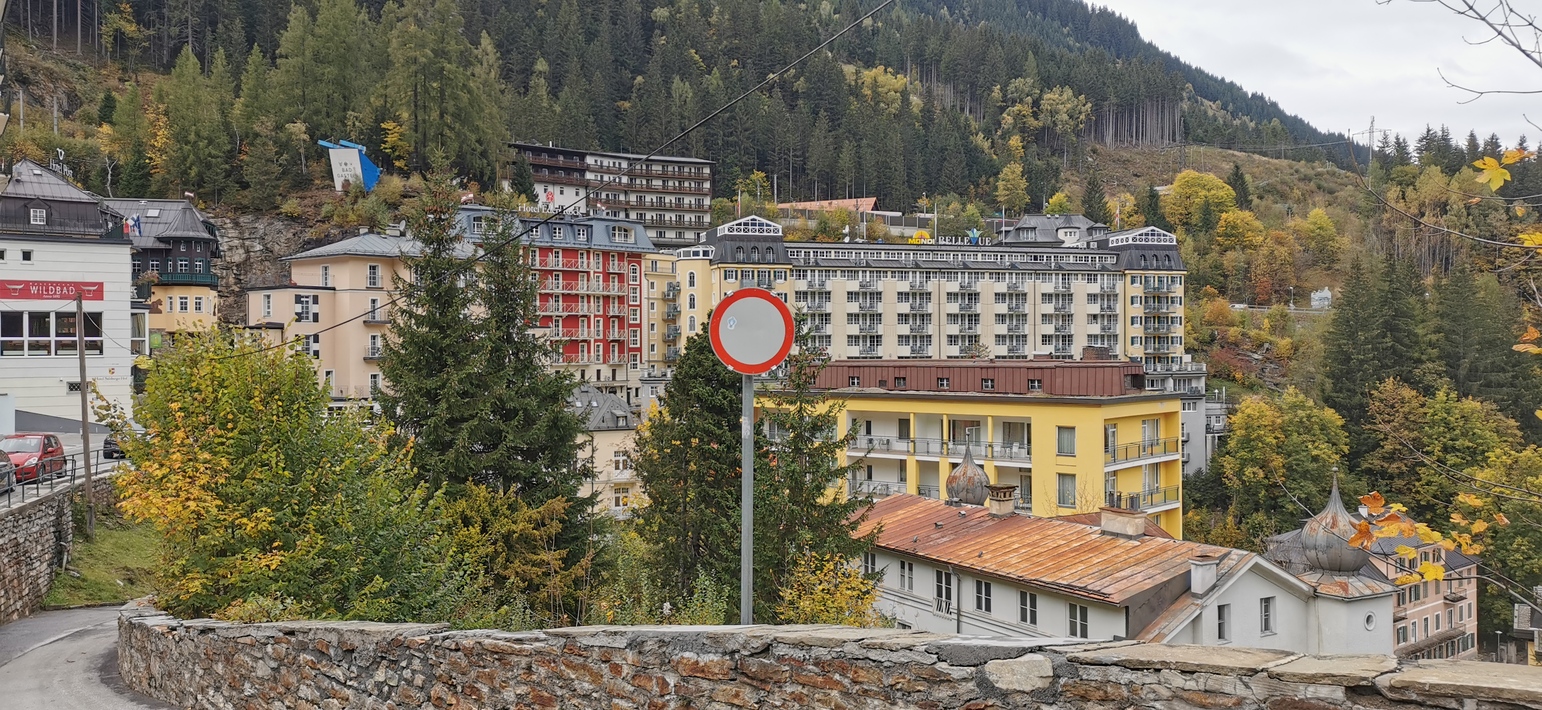
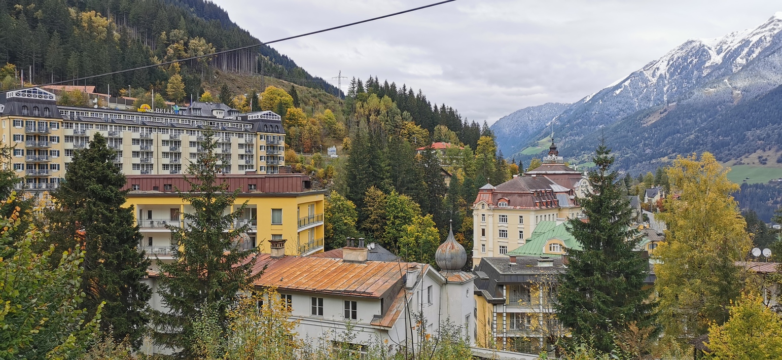
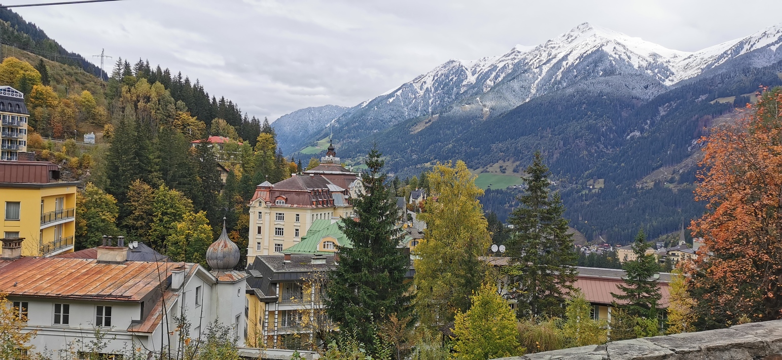
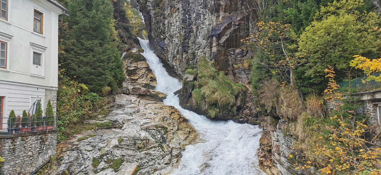
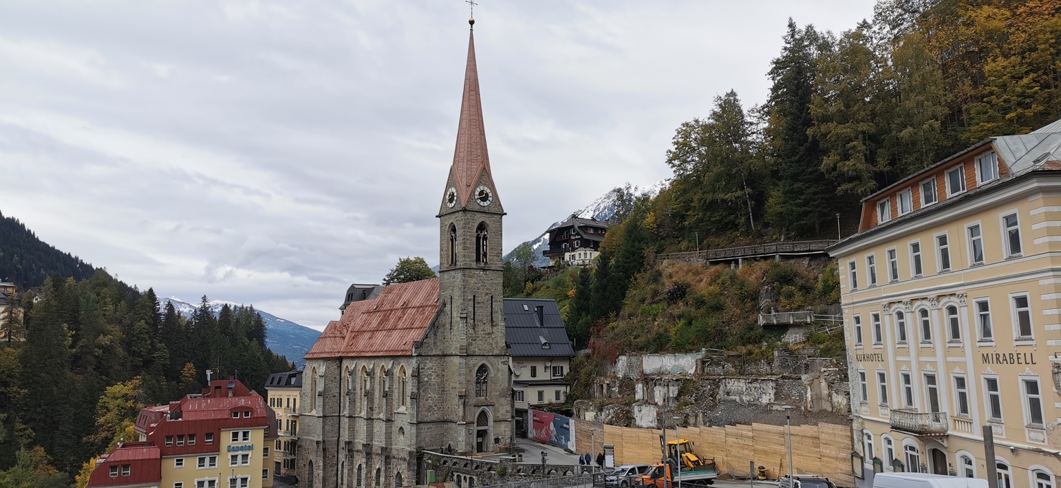
Map of the route “Unterkolbnitz – Bischofshofen”: 19,86 km, 699 m of climbing and 159 m of descent, elevation between 623 m and 1.179 m, time 02:24:58. It starts at 46.87758, 13.29883 and ends at 46.98178, 13.17606 (latitude, longitude).
Gesamtstrecke: 19.94 km
Maximale Höhe: 1179 m
Gesamtanstieg: 699 m
Gesamtzeit: 02:26:16
Download file: MV-Unterkolbnitz-Mallnitz.gpx
Maximale Höhe: 1179 m
Gesamtanstieg: 699 m
Gesamtzeit: 02:26:16
Map of the route “Unterkolbnitz – Bischofshofen”: 60,96 km, 252 m of climbing and 880 m of descent, elevation between 544 m and 1.173 m, time 05:09:25. It starts at 47.08171, 13.12899 and ends at 47.41577, 13.21782 (latitude, longitude).
Gesamtstrecke: 60.99 km
Maximale Höhe: 1173 m
Gesamtanstieg: 252 m
Gesamtzeit: 05:09:48
Download file: MV-Böckstein-Bischofshofen.gpx
Maximale Höhe: 1173 m
Gesamtanstieg: 252 m
Gesamtzeit: 05:09:48