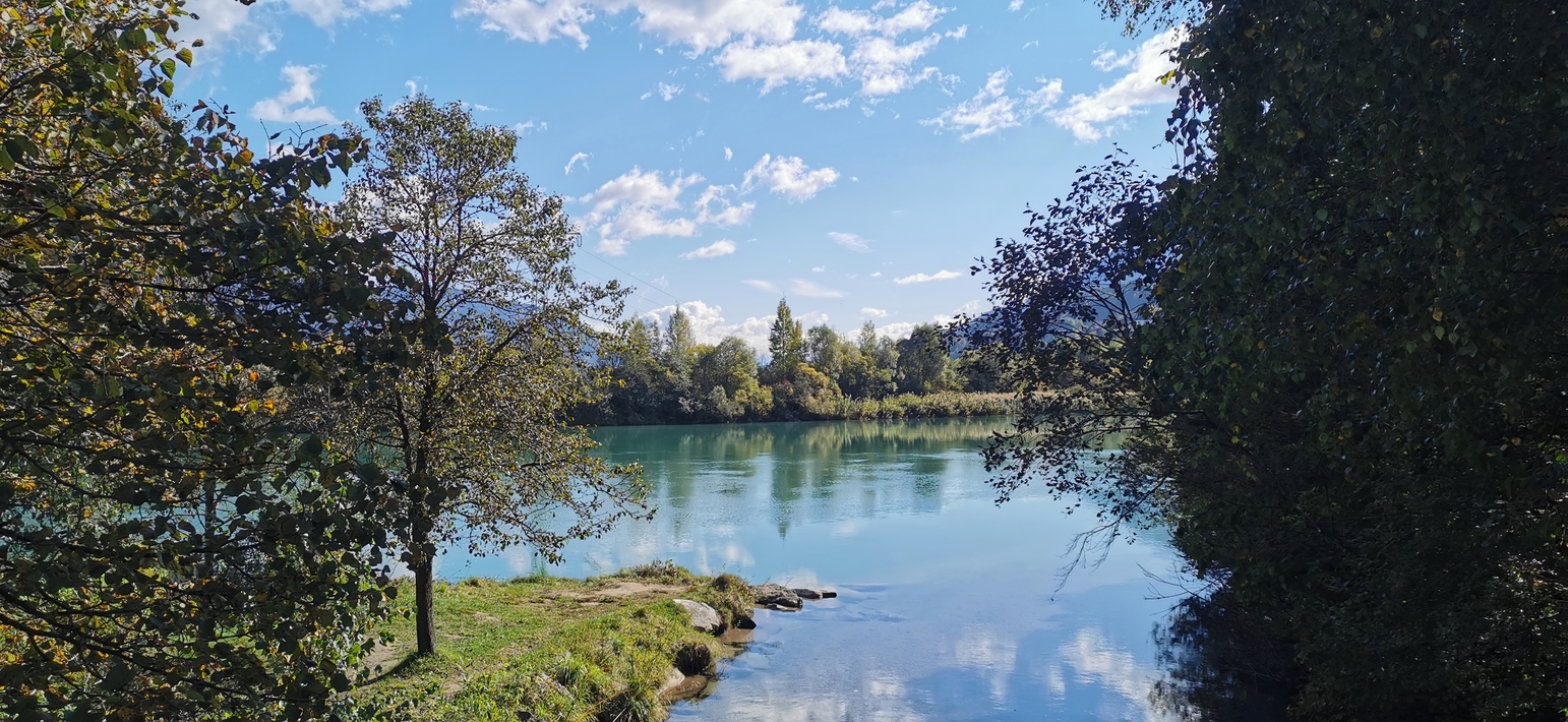
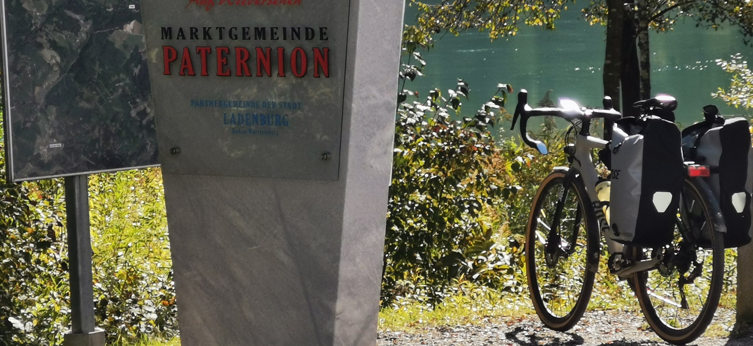
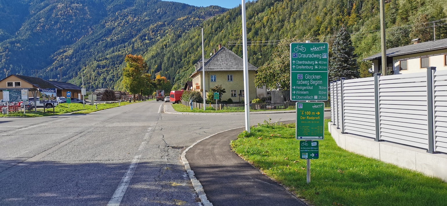
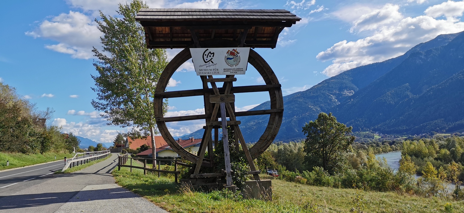
In Arnoldstein super Übernachtung, bei Rückenwind nach Villach immer der Drau entlang, dann wurde es mühseliger, immer bergauf mit kühlen Gegenwind…
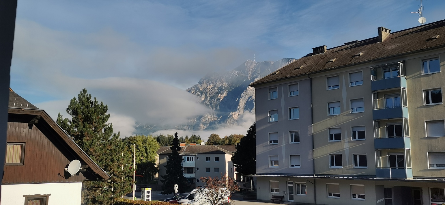

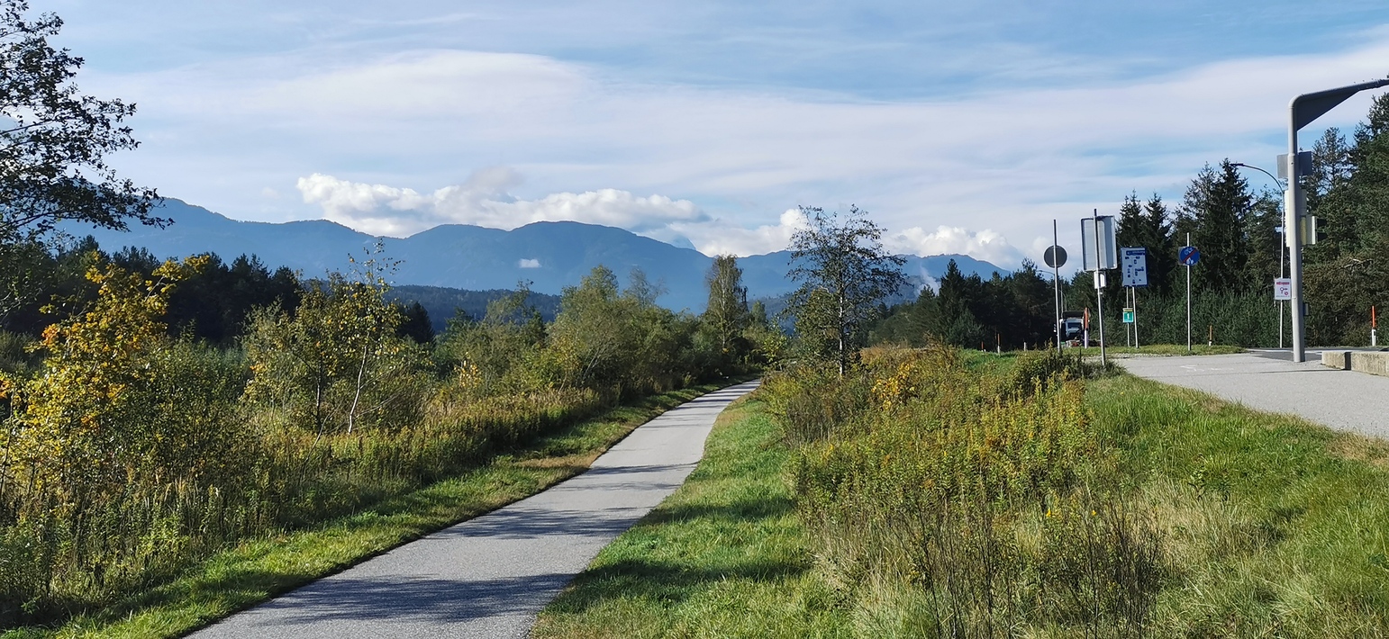
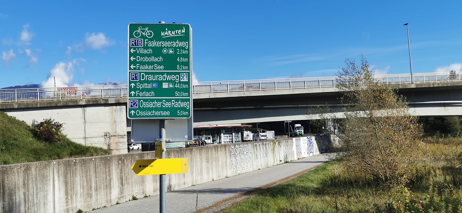
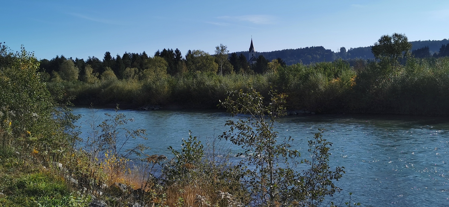
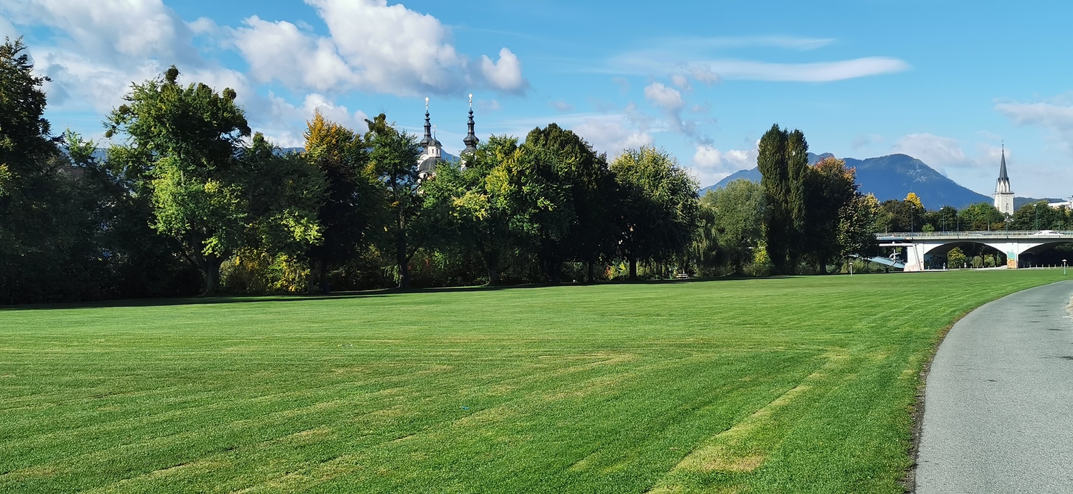
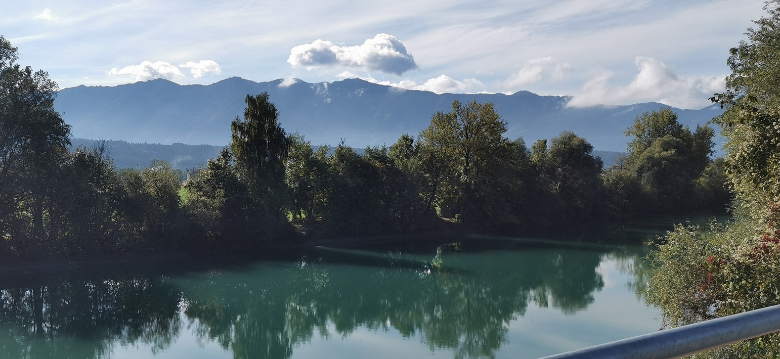
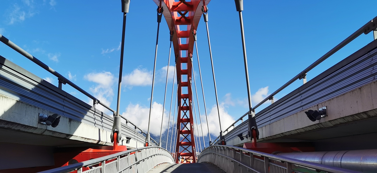
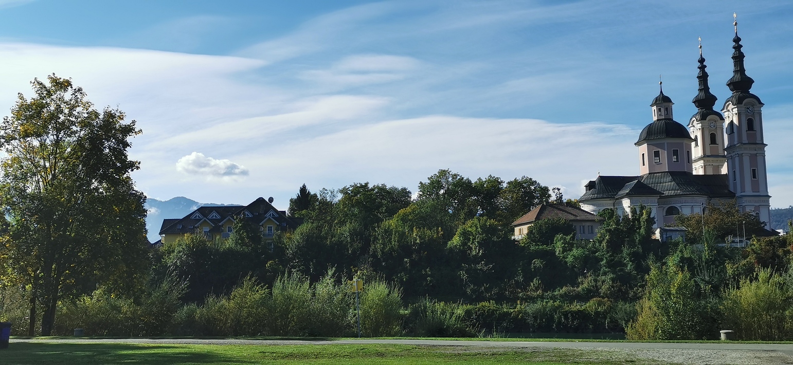

Map of the route “Arnoldstein – Unterkolbnitz”: 88,72 km, 392 m of climbing and 315 m of descent, elevation between 488 m and 665 m, time 07:02:59. It starts at 46.54995, 13.70389 and ends at 46.87847, 13.29621 (latitude, longitude).
Gesamtstrecke: 89.1 km
Maximale Höhe: 666 m
Gesamtanstieg: 392 m
Gesamtzeit: 07:04:12
Download file: MV-Arnoldstein-Unterkolbnitz.gpx
Maximale Höhe: 666 m
Gesamtanstieg: 392 m
Gesamtzeit: 07:04:12