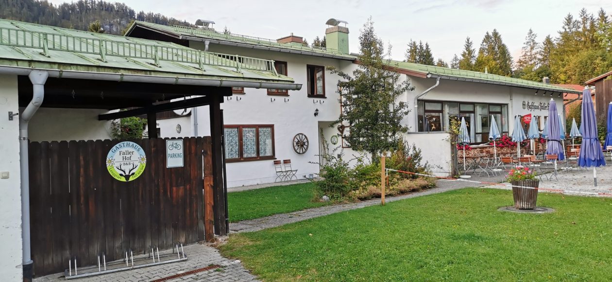
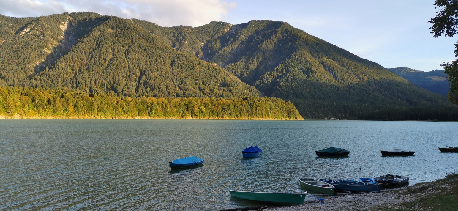
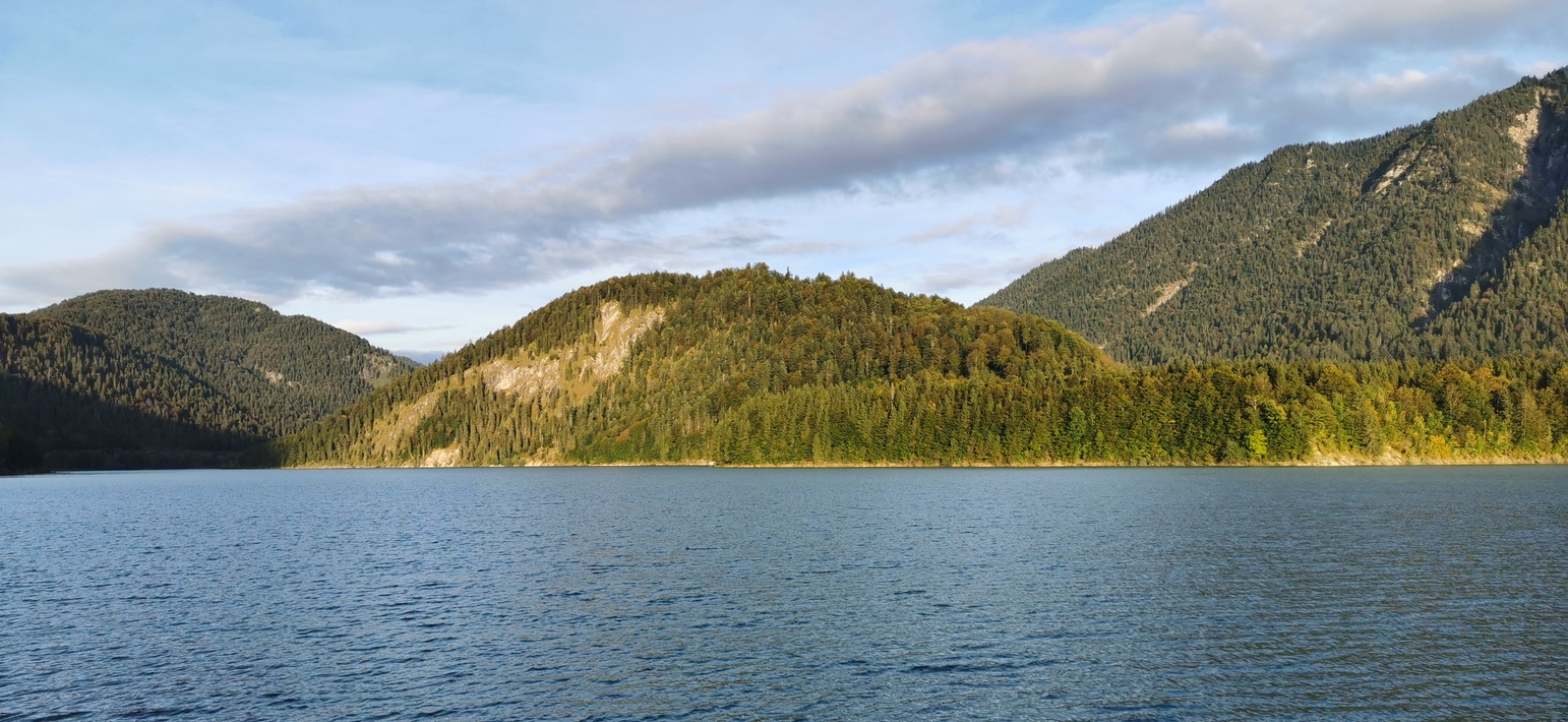
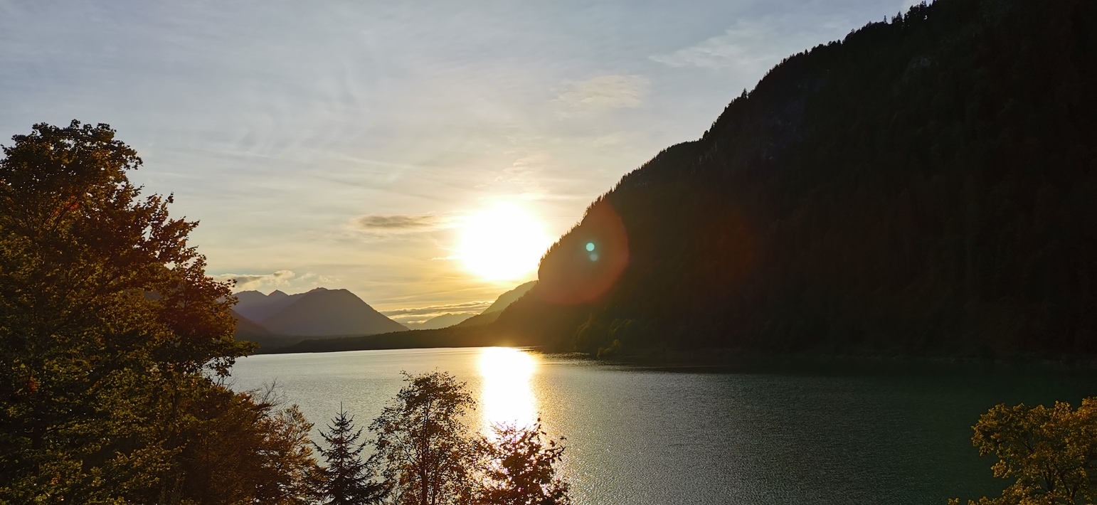
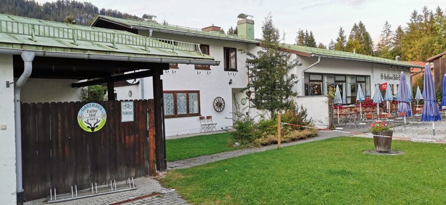
am 29.09.2021 ( am vorletzten Tag meines Berufslebens) von Langwied über Großhesselohe, Bad Tölz nach Fall. Übernachtung im Faller Hof, Frühstück im Jäger vom Fall, das Wetter wurde im laufe des Tages immer sonniger.
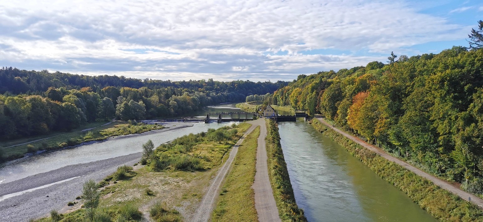
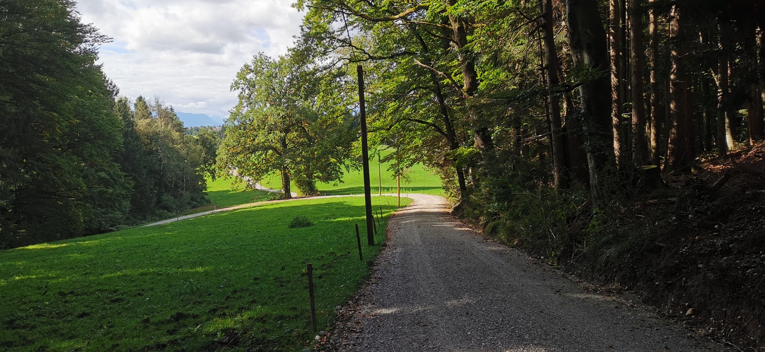

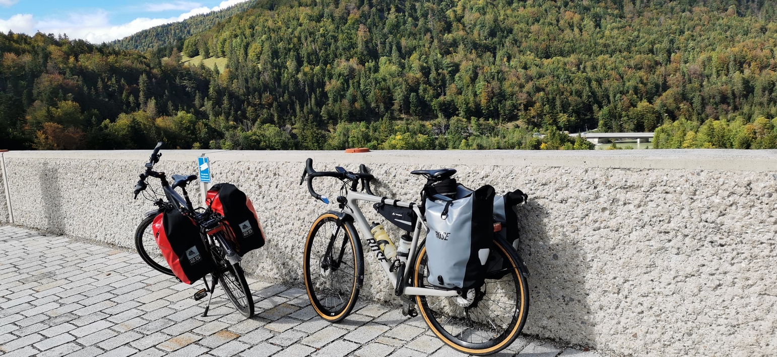
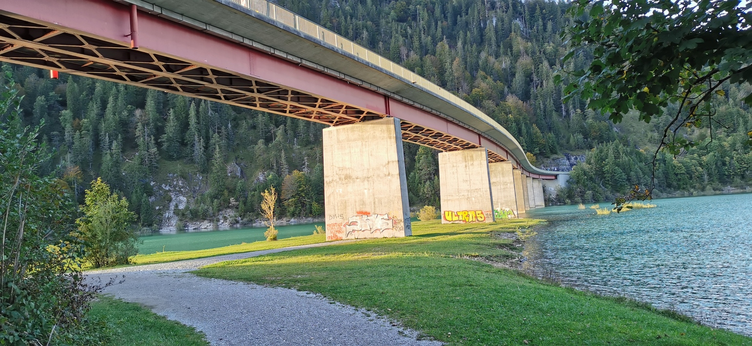

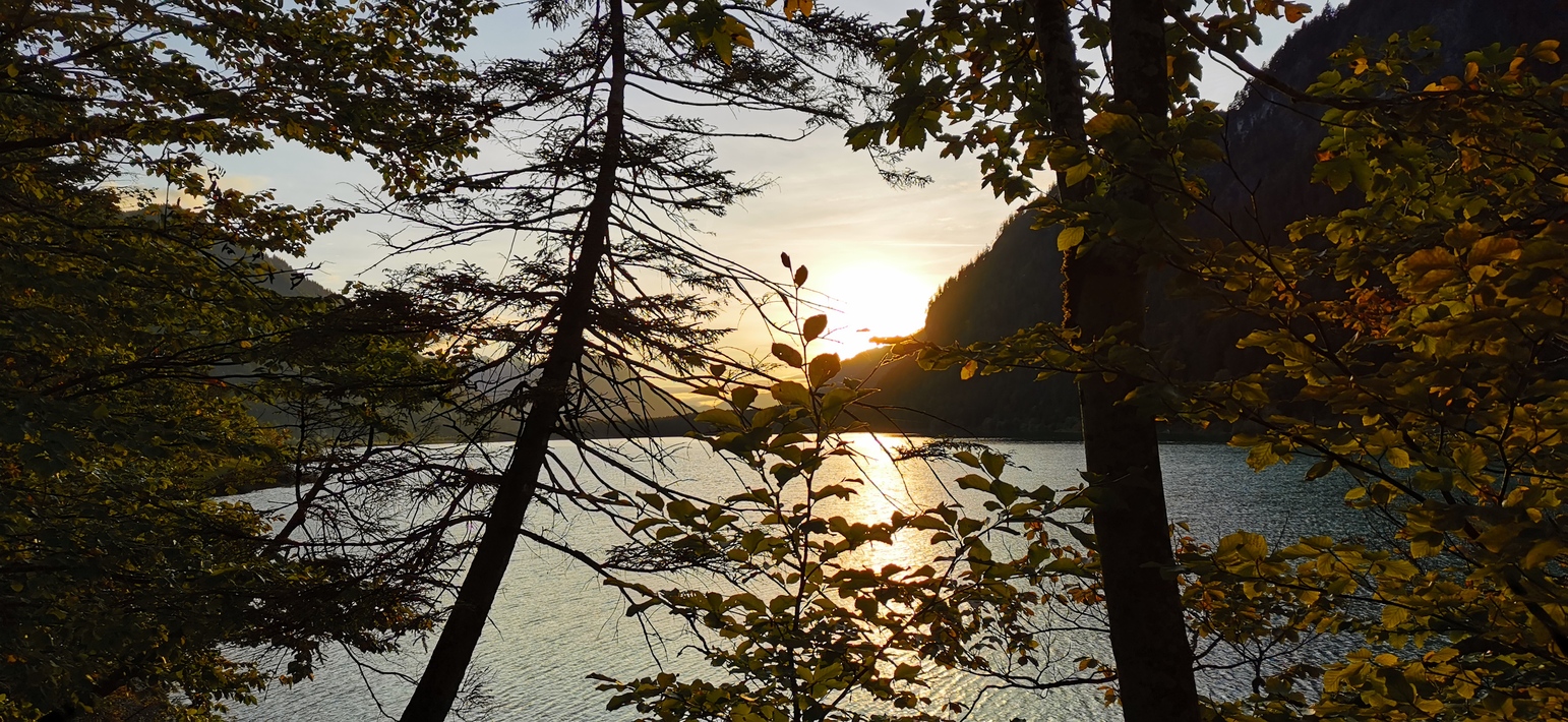
Map of the route “München – Fall”: 92,61 km, 547 m of climbing and 298 m of descent, elevation between 522 m and 779 m, time 06:02:13. It starts at 48.18056, 11.42279 and ends at 47.57189, 11.53194 (latitude, longitude).
Gesamtstrecke: 93.04 km
Maximale Höhe: 779 m
Gesamtanstieg: 547 m
Gesamtzeit: 06:02:34
Download file: Langwied-Fall.gpx
Maximale Höhe: 779 m
Gesamtanstieg: 547 m
Gesamtzeit: 06:02:34