2. Tag – bei schönsten Wetter
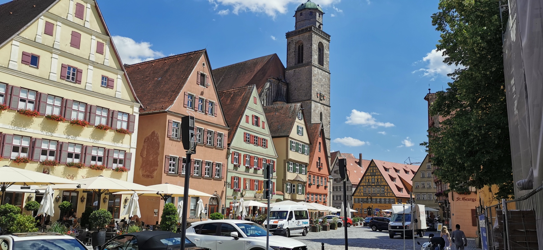
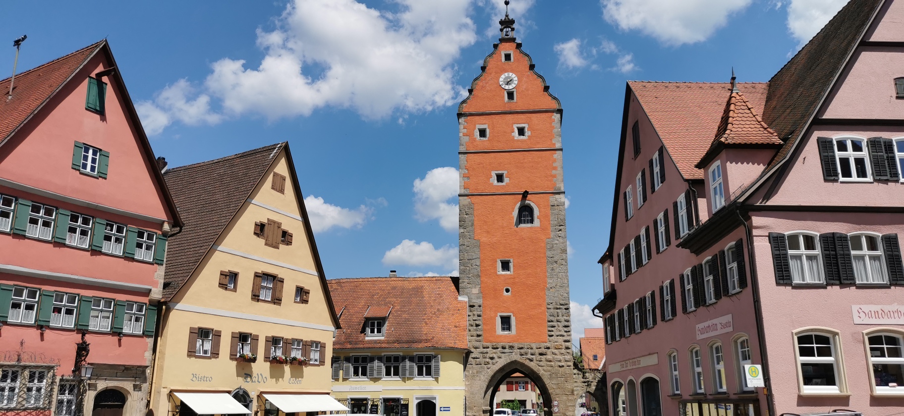
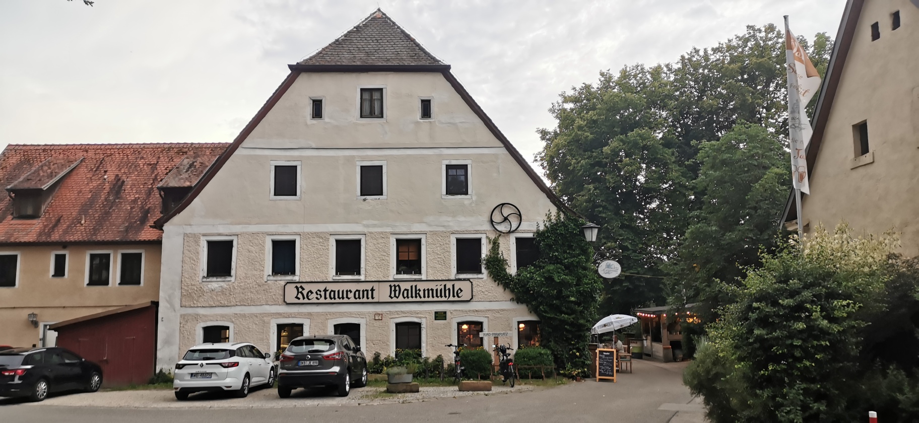
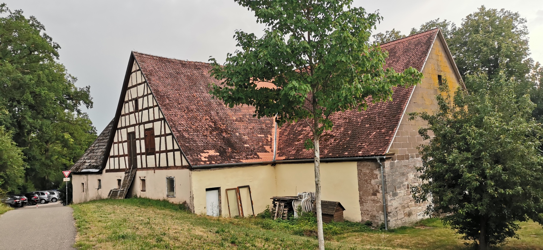
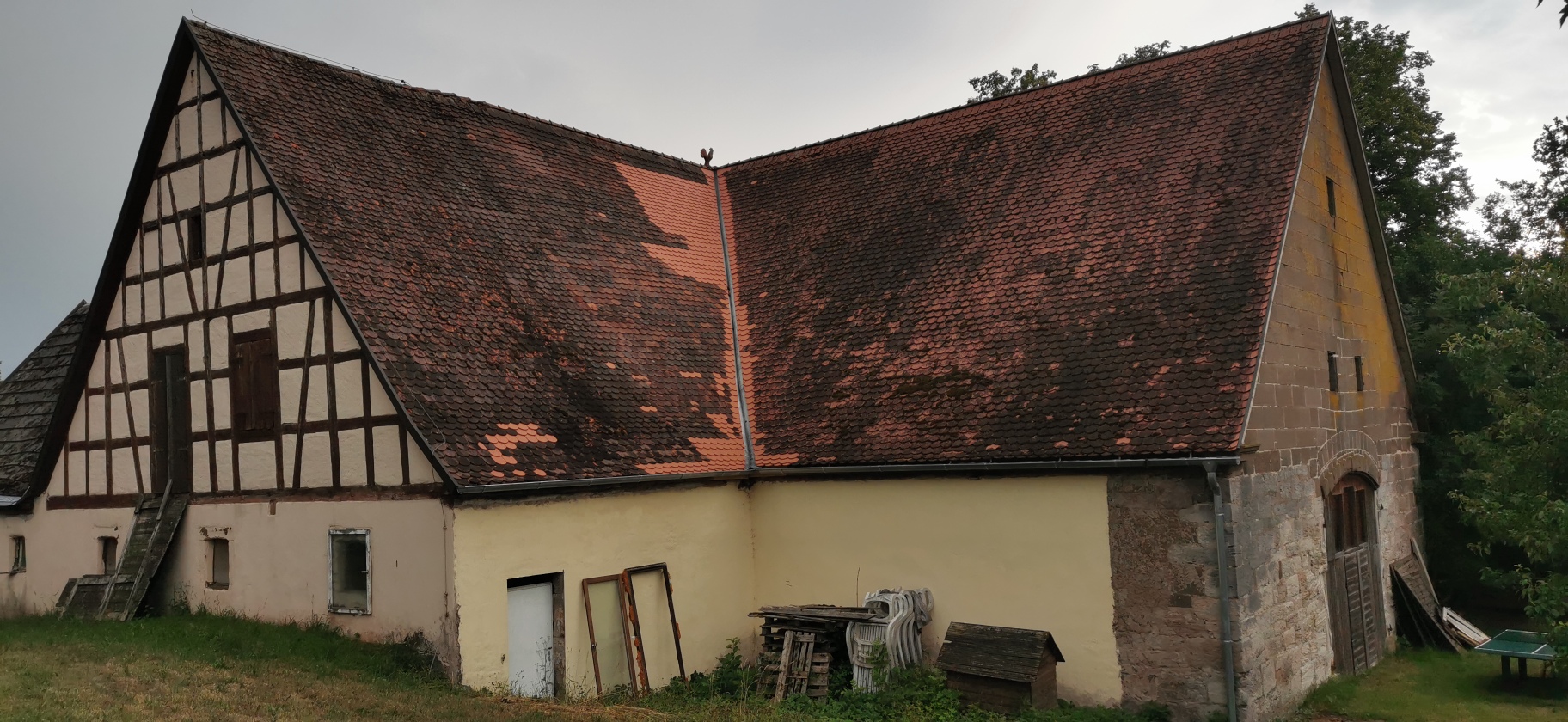
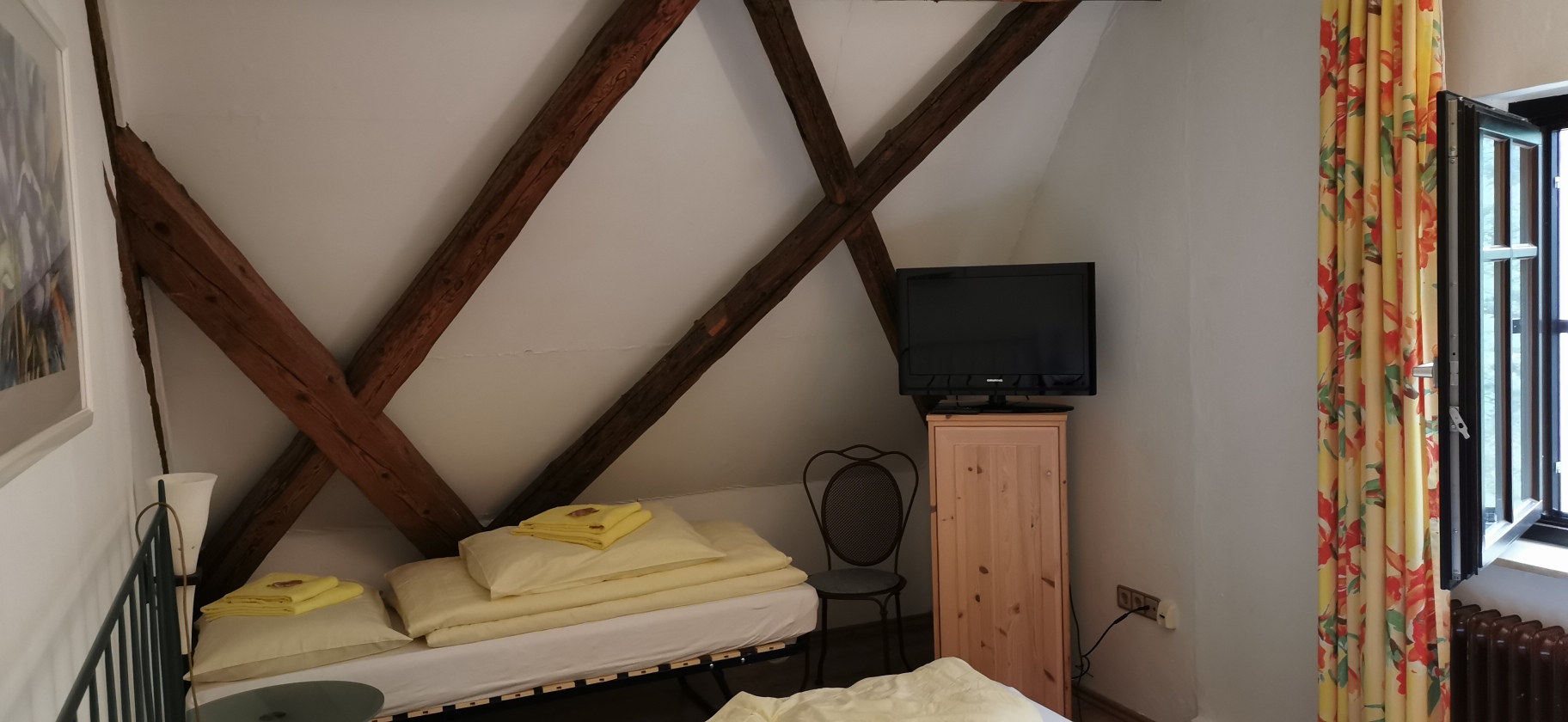
Pause in Dinkelsbühl – nachmittags schwül – Übernachtung in der uralten Walkmühle mit sehr guten Bier…
ab 21.00 Uhr sauberes Gewitter..
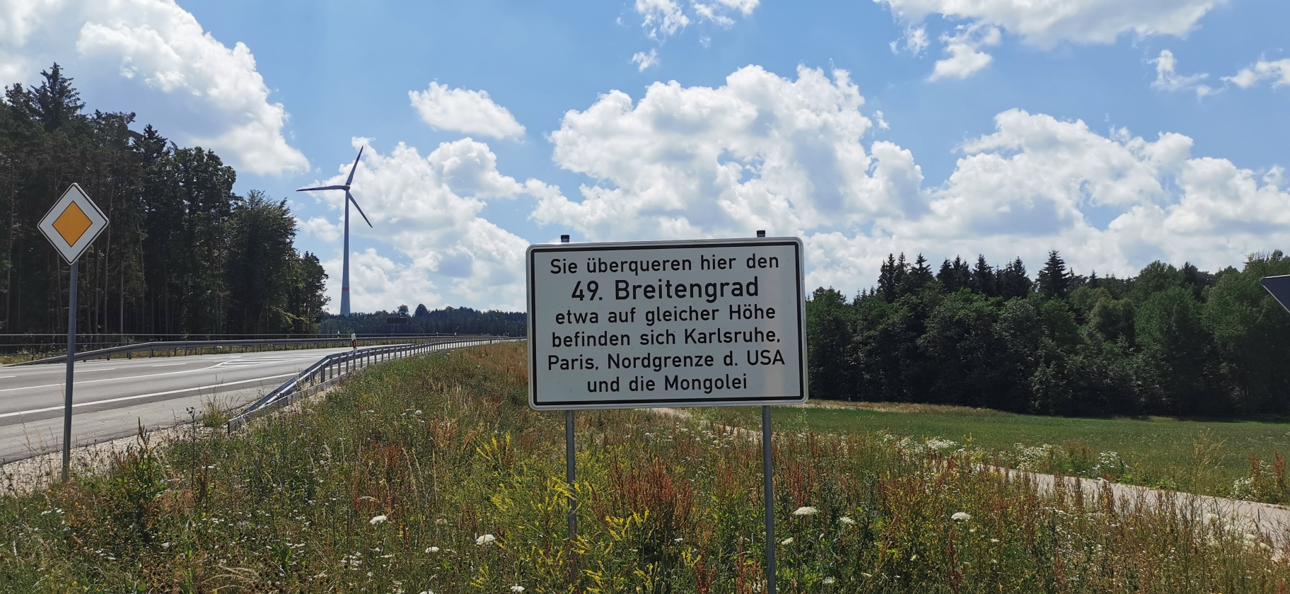
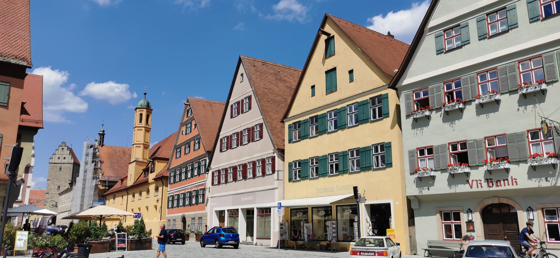
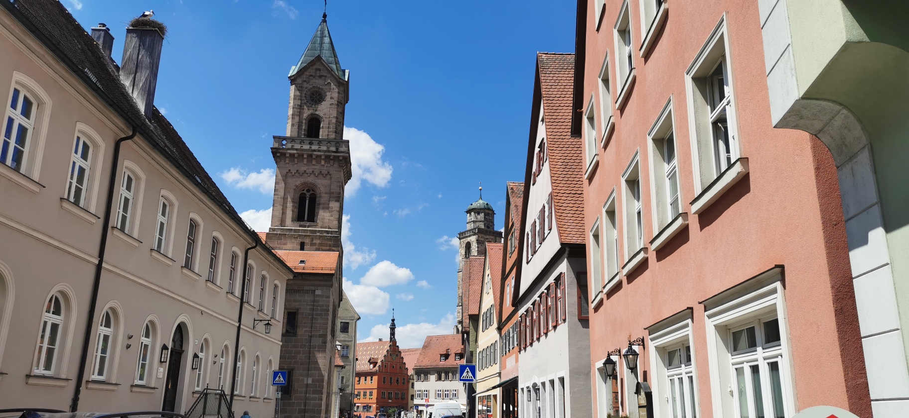
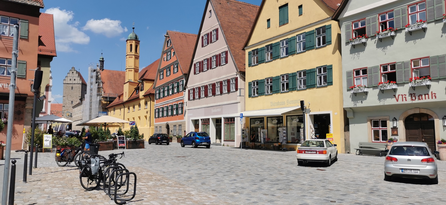
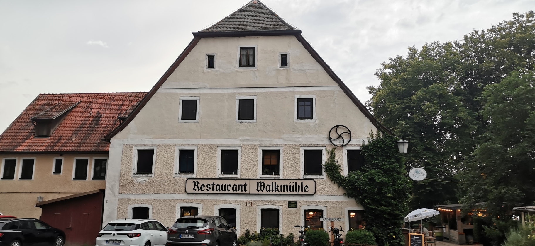
Map of the route “Donauwörth – Walkmühle”: 78,36 km, 552 m of climbing and 496 m of descent, elevation between 399 m and 511 m, time 06:34:56. It starts at 48.73118, 10.72493 and ends at 49.15485, 10.33835 (latitude, longitude).
Gesamtstrecke: 78.37 km
Maximale Höhe: 511 m
Gesamtanstieg: 552 m
Gesamtzeit: 06:35:15
Download file: AM-Donauwörth-Walkmühle.gpx
Maximale Höhe: 511 m
Gesamtanstieg: 552 m
Gesamtzeit: 06:35:15