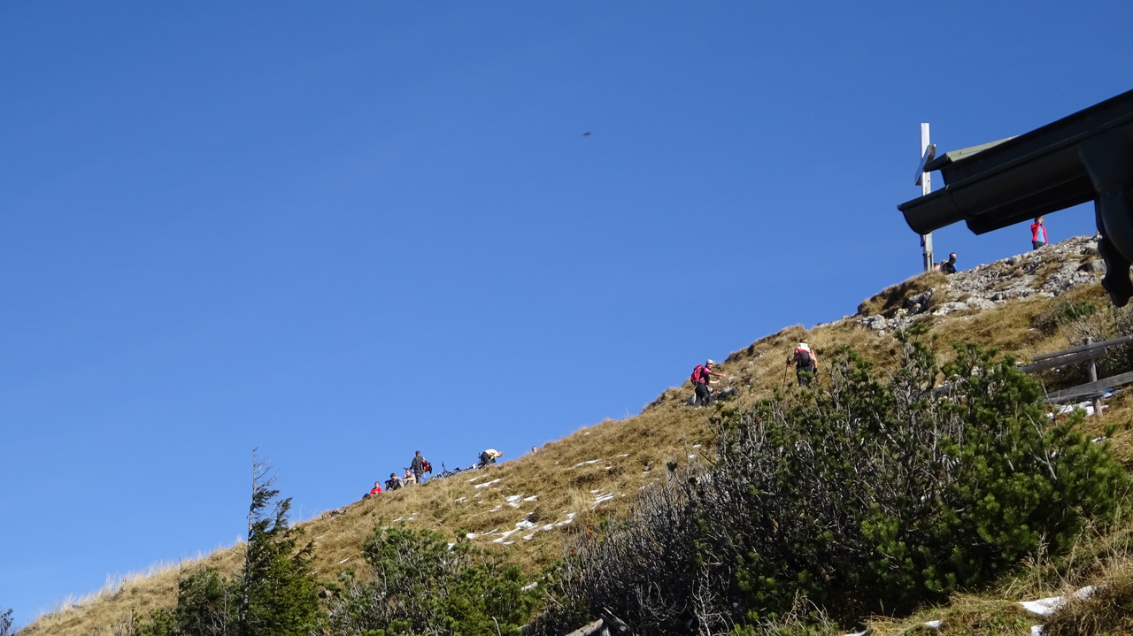
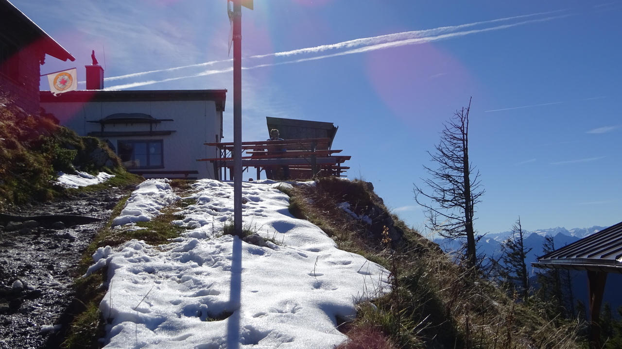
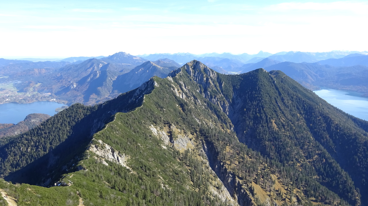
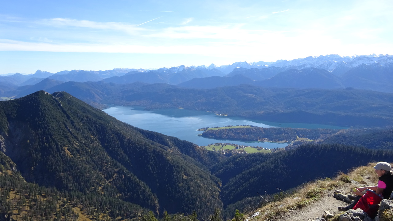
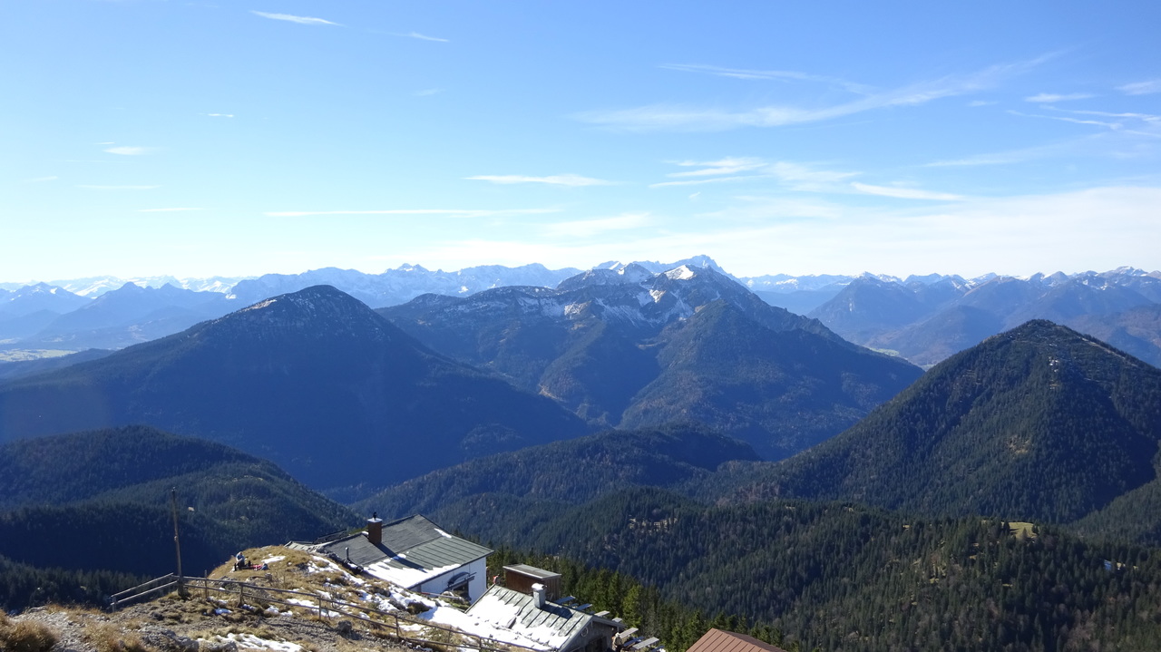
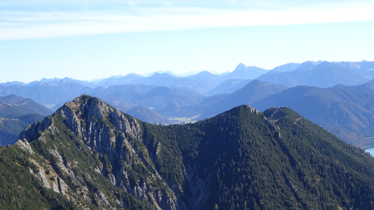
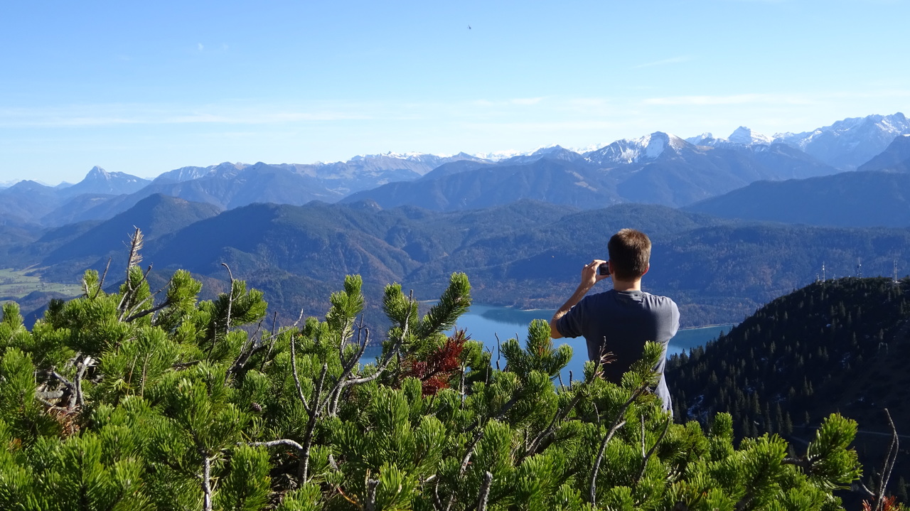
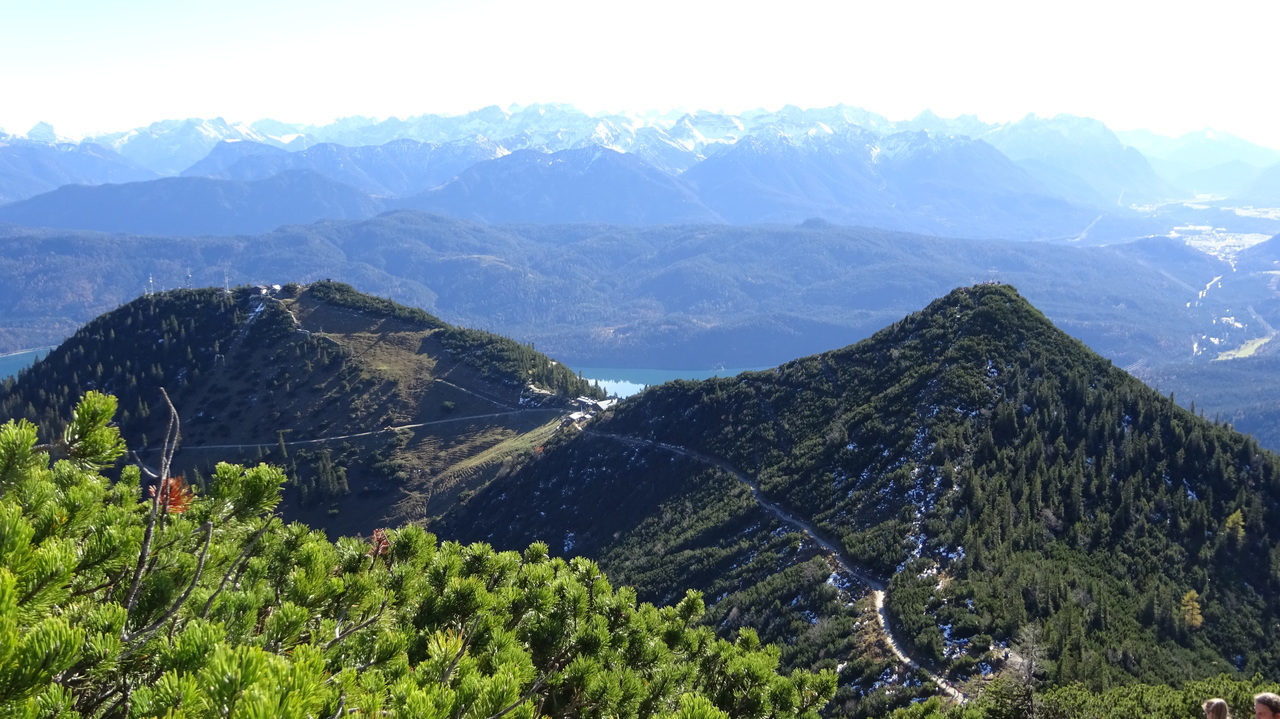
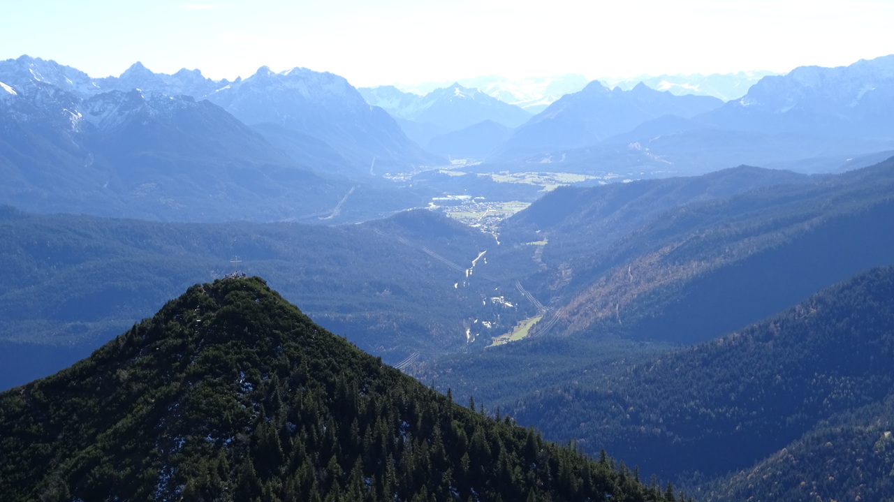
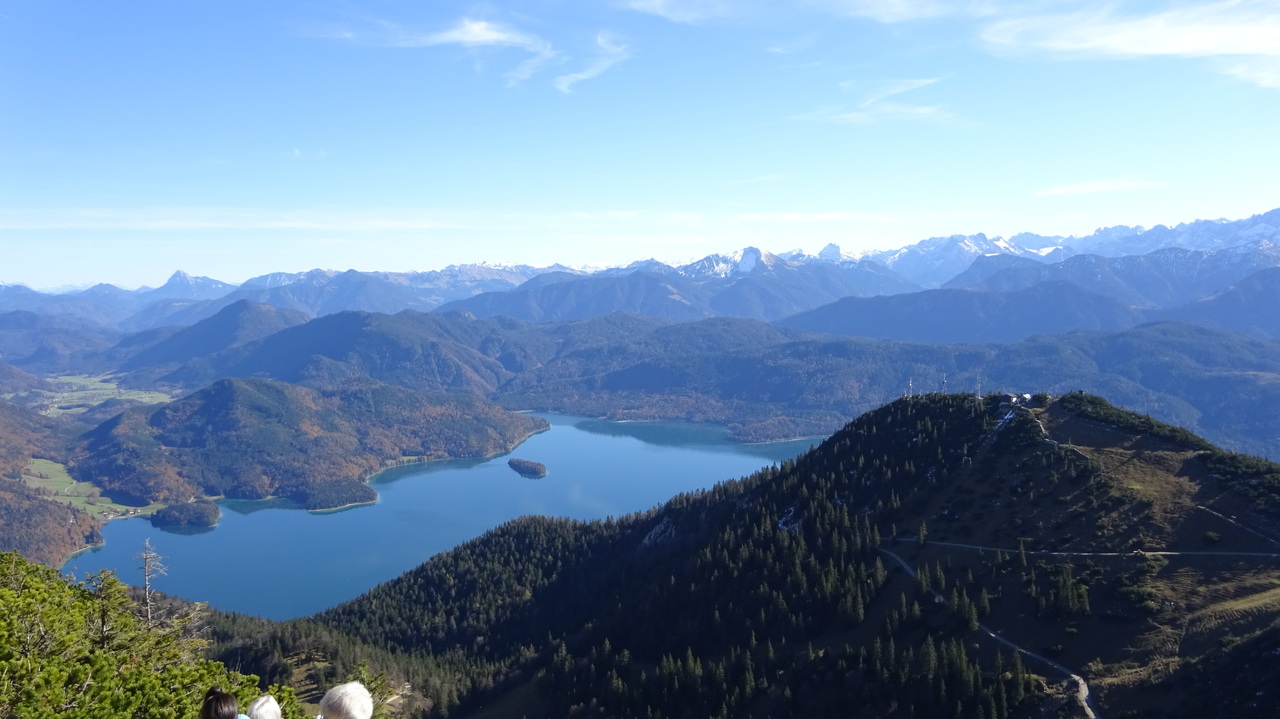
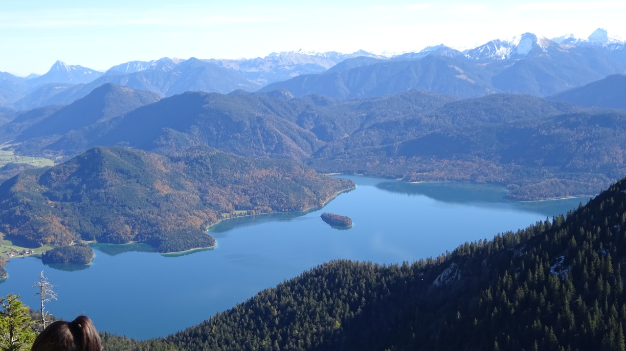
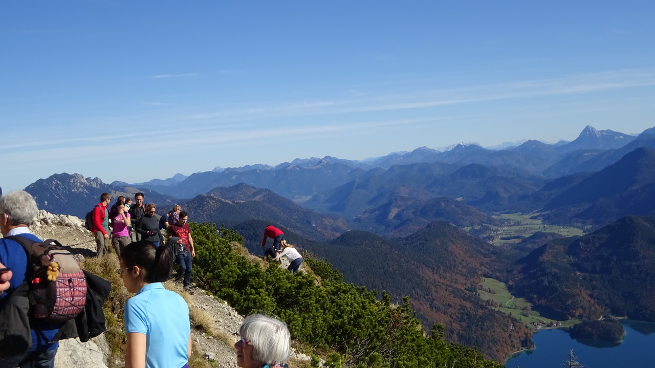
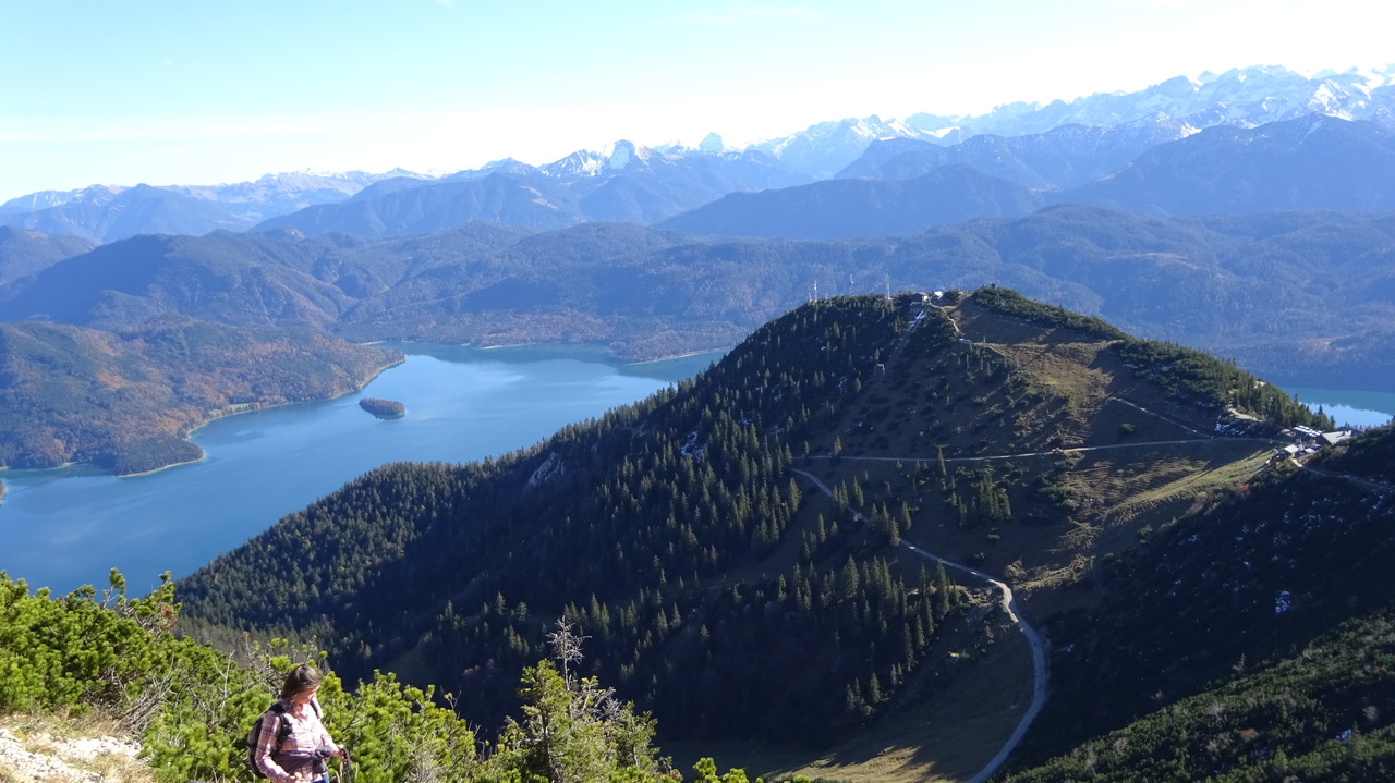
abwechslungsreiche Tour vom Heimgarten zum Herzogstand
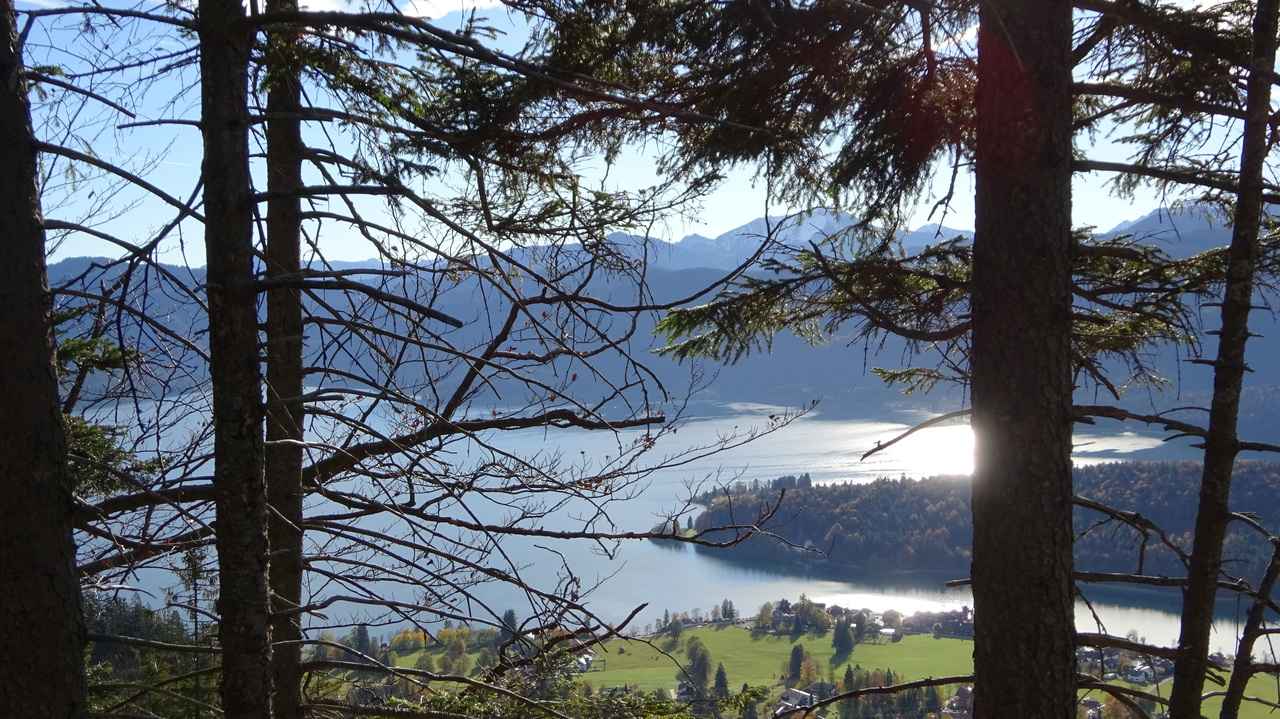
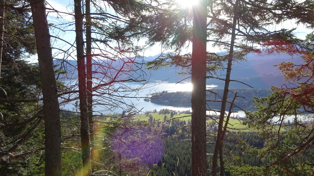
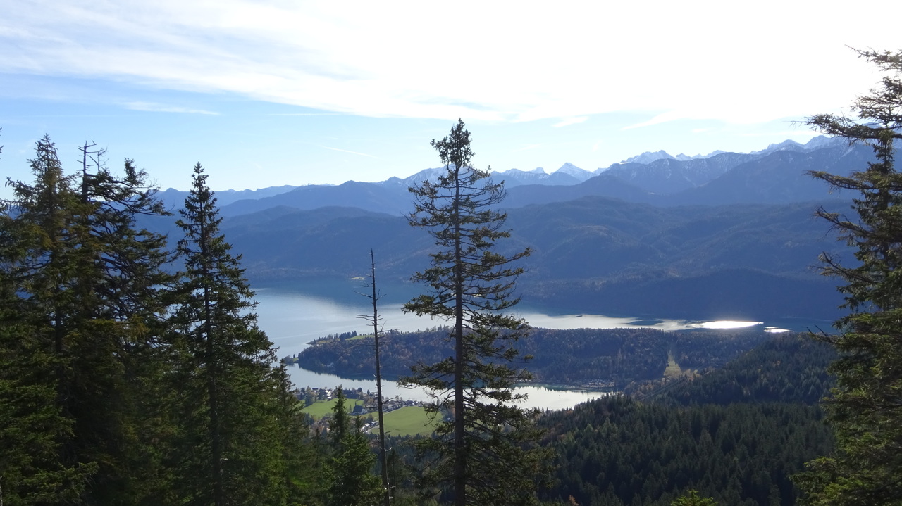
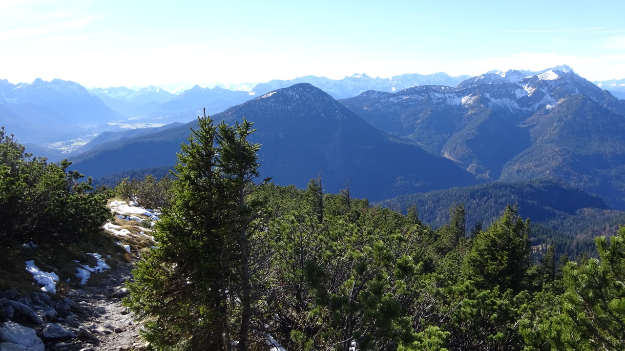
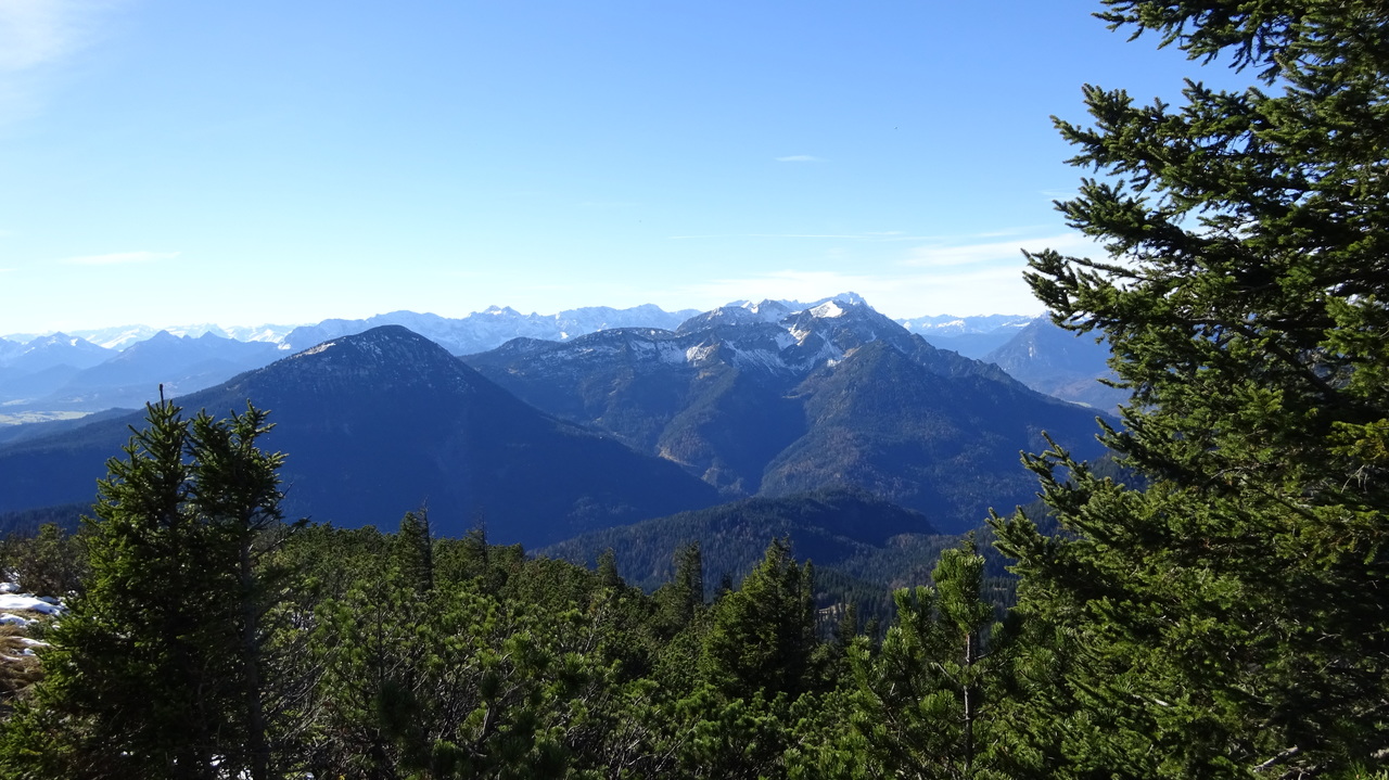
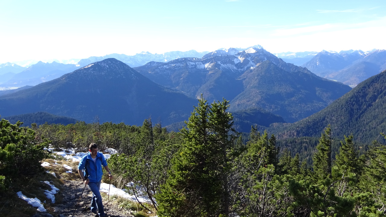
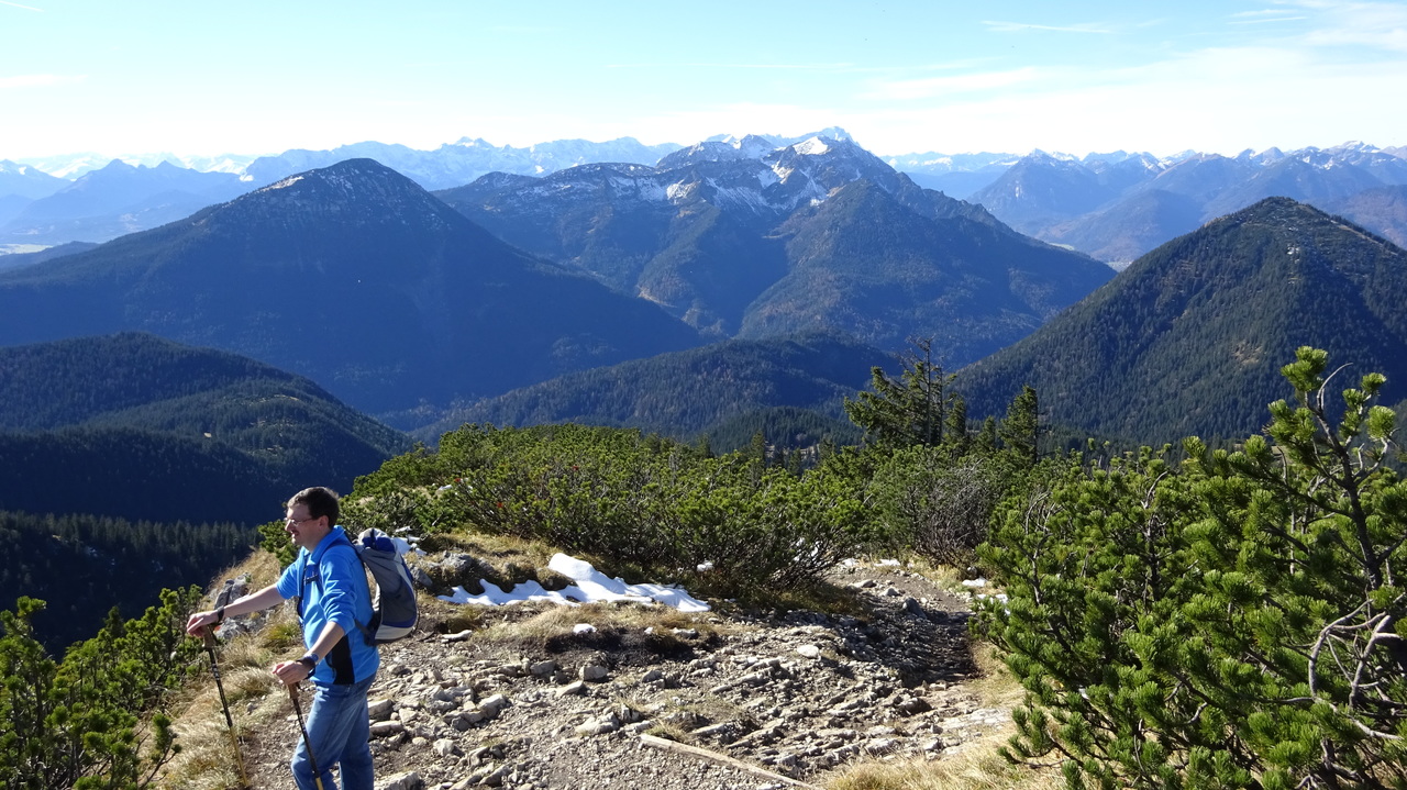
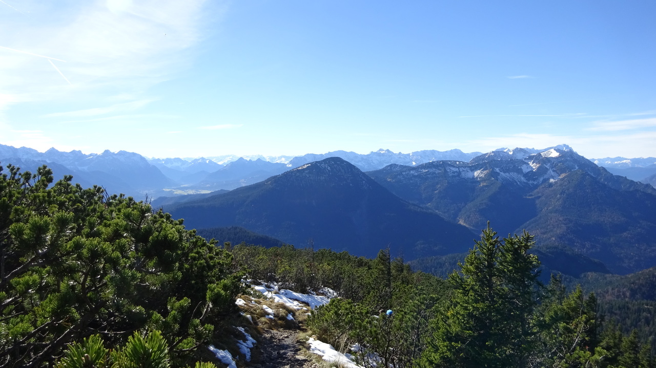
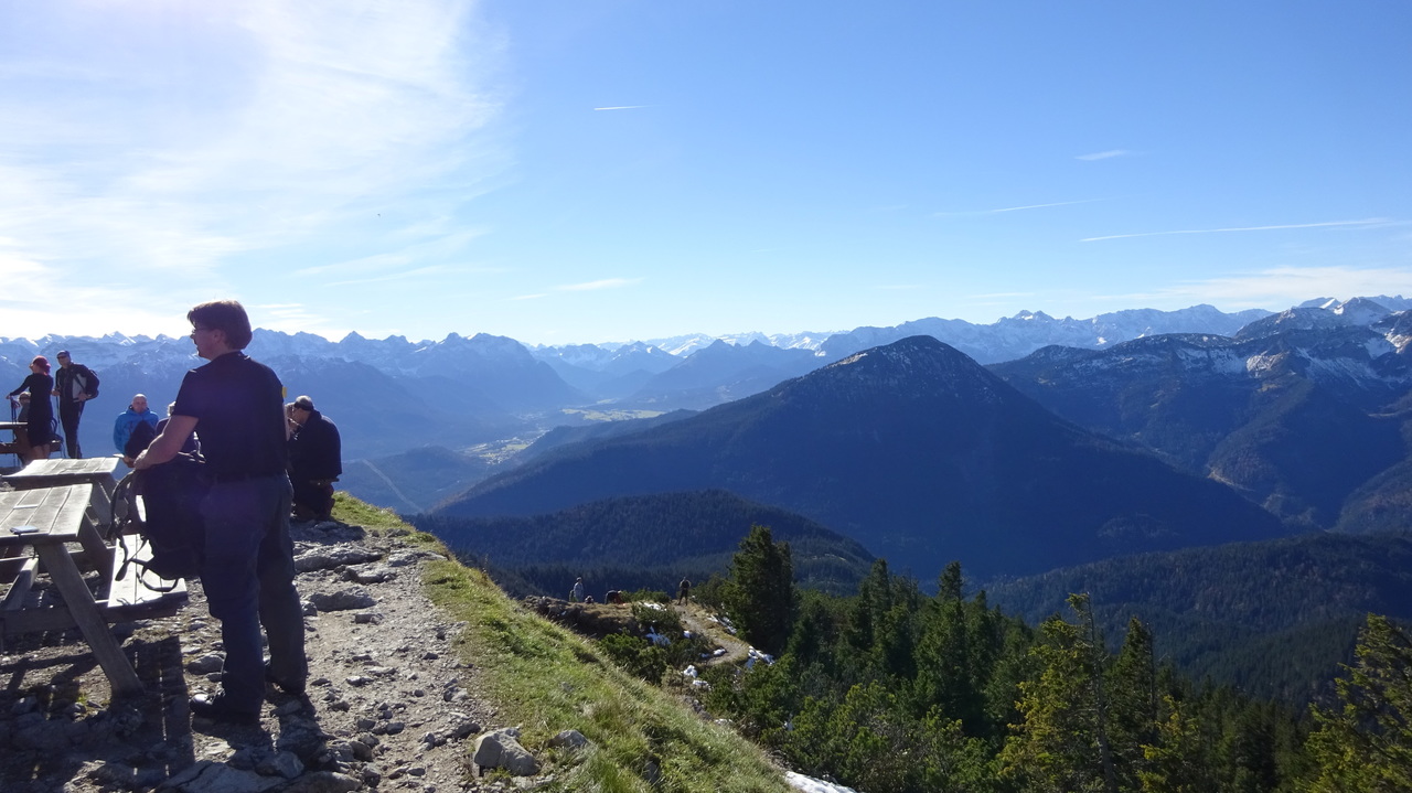
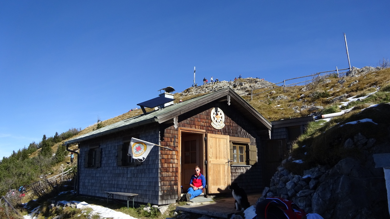
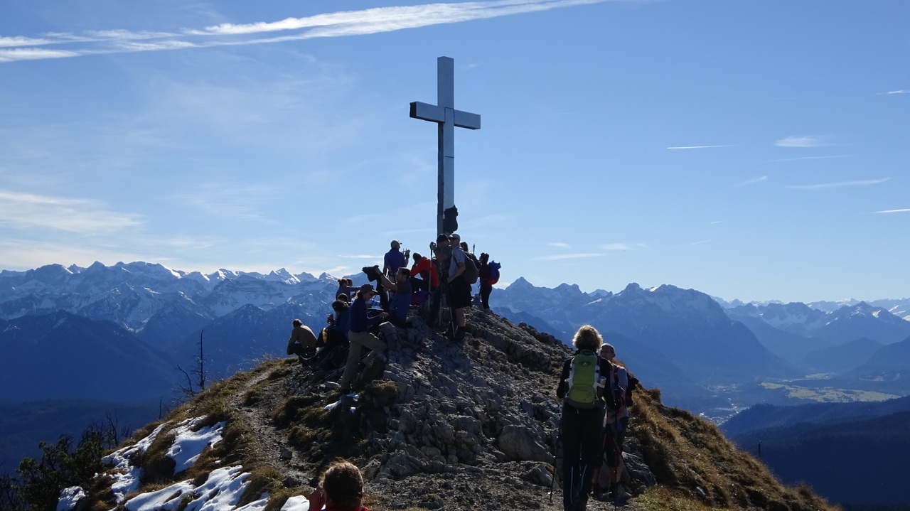
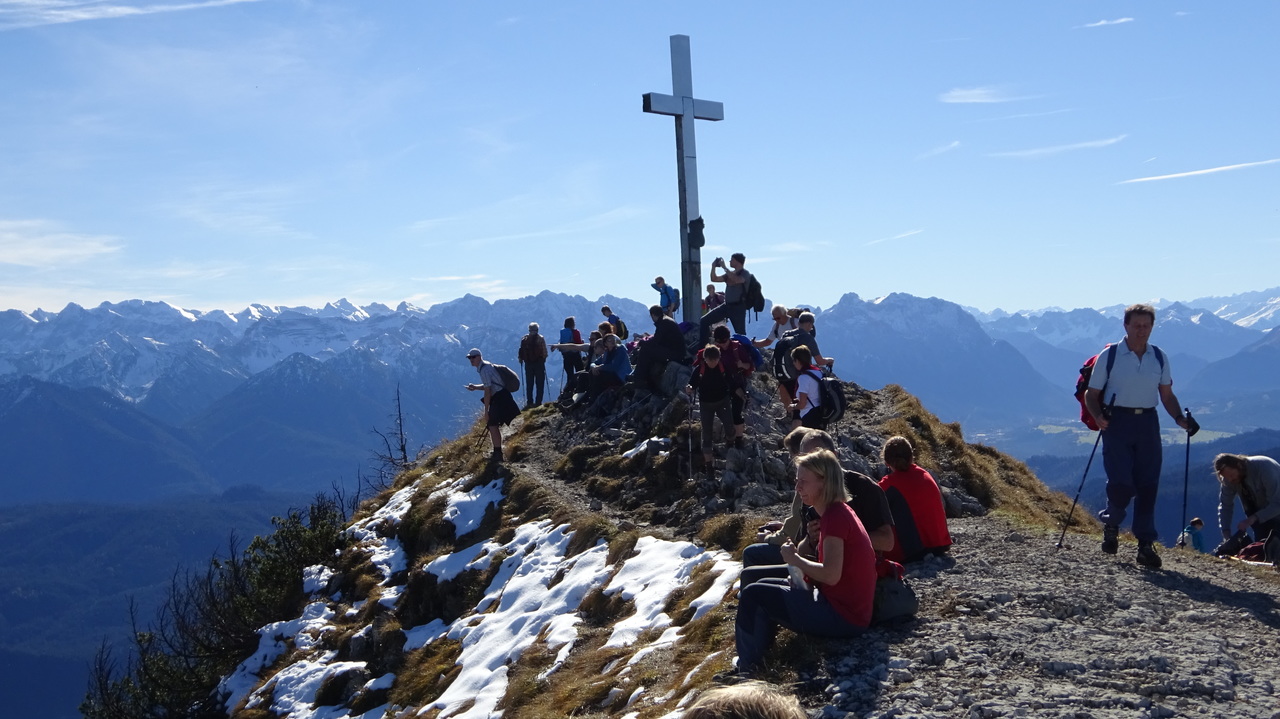
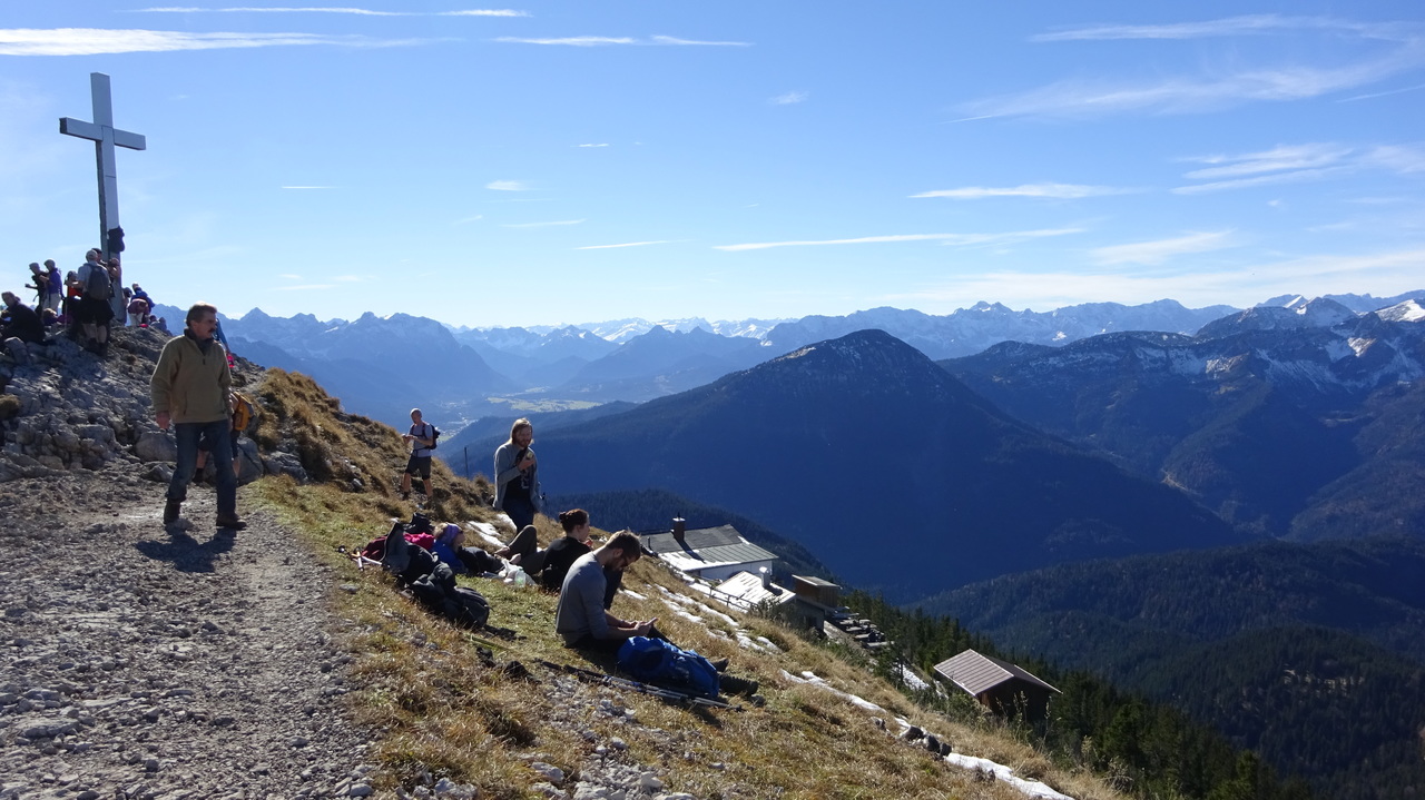
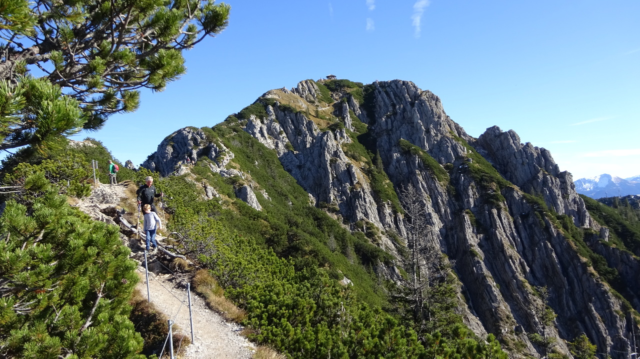
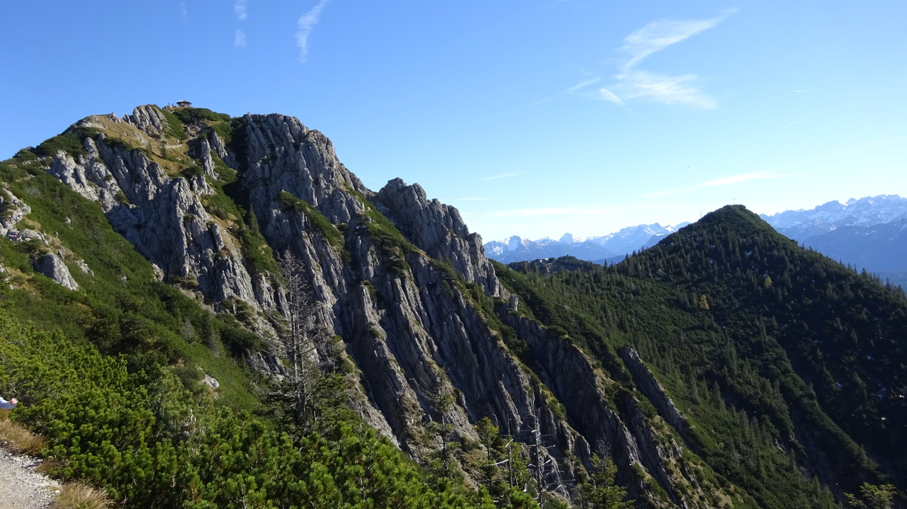
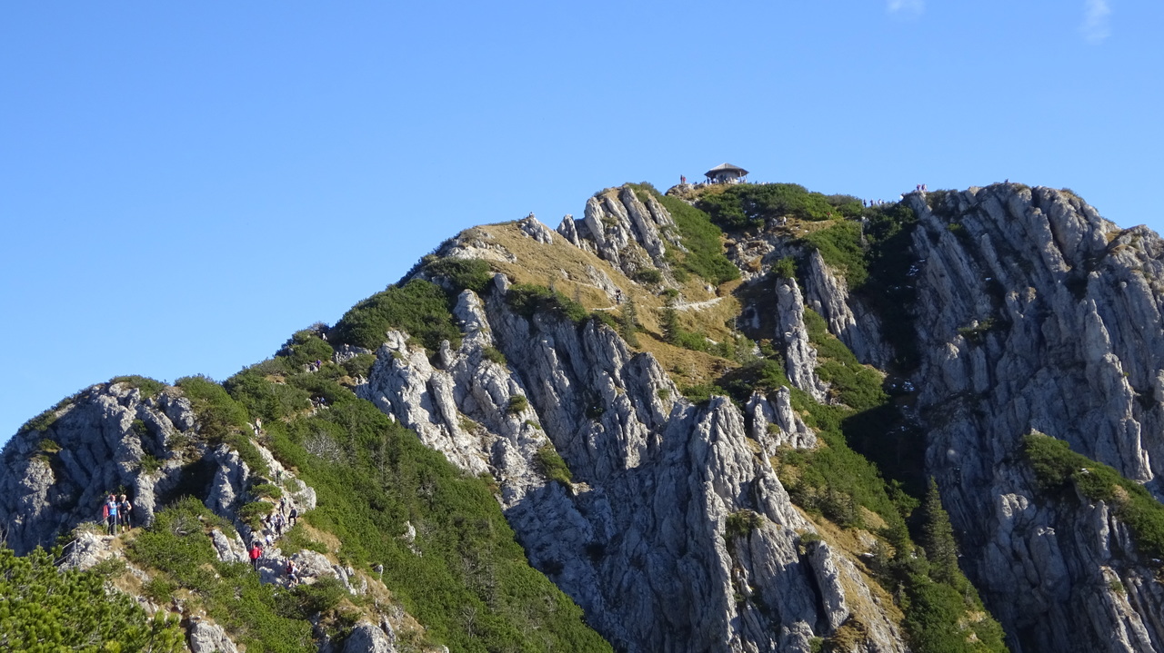
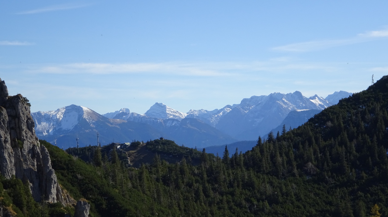
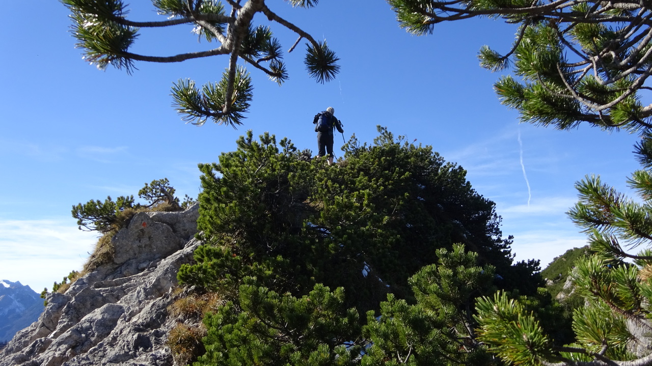

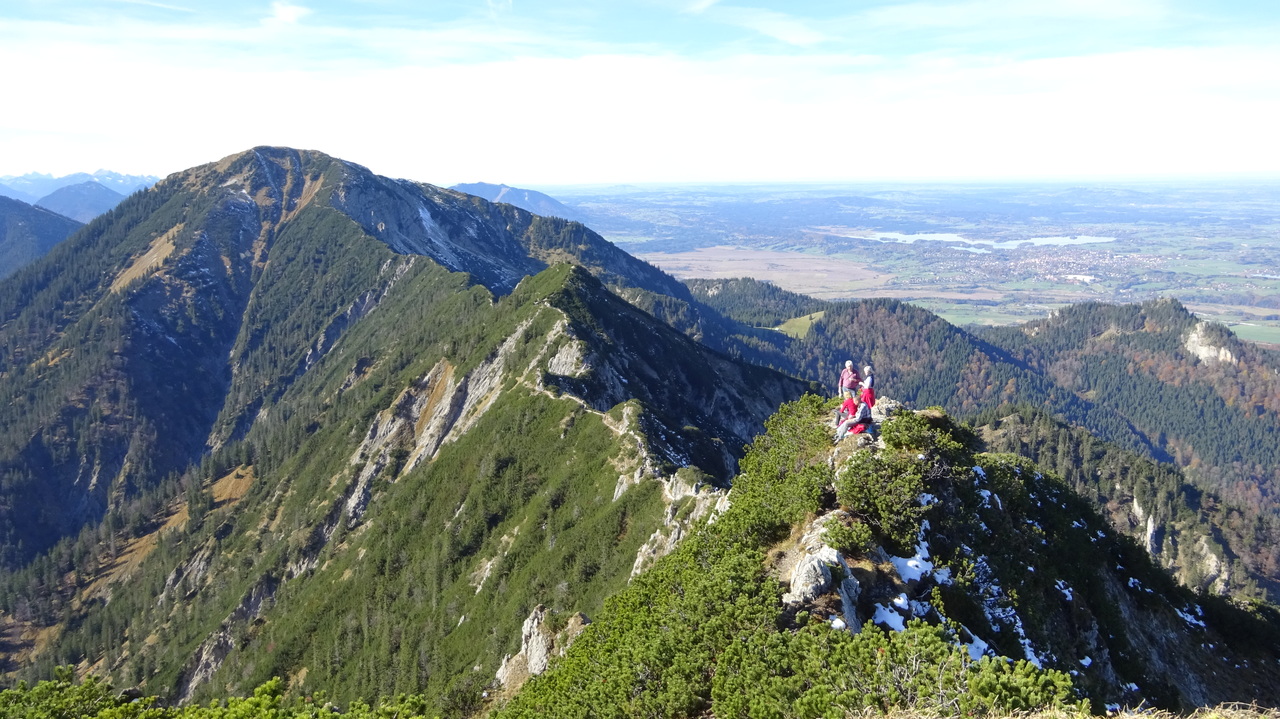
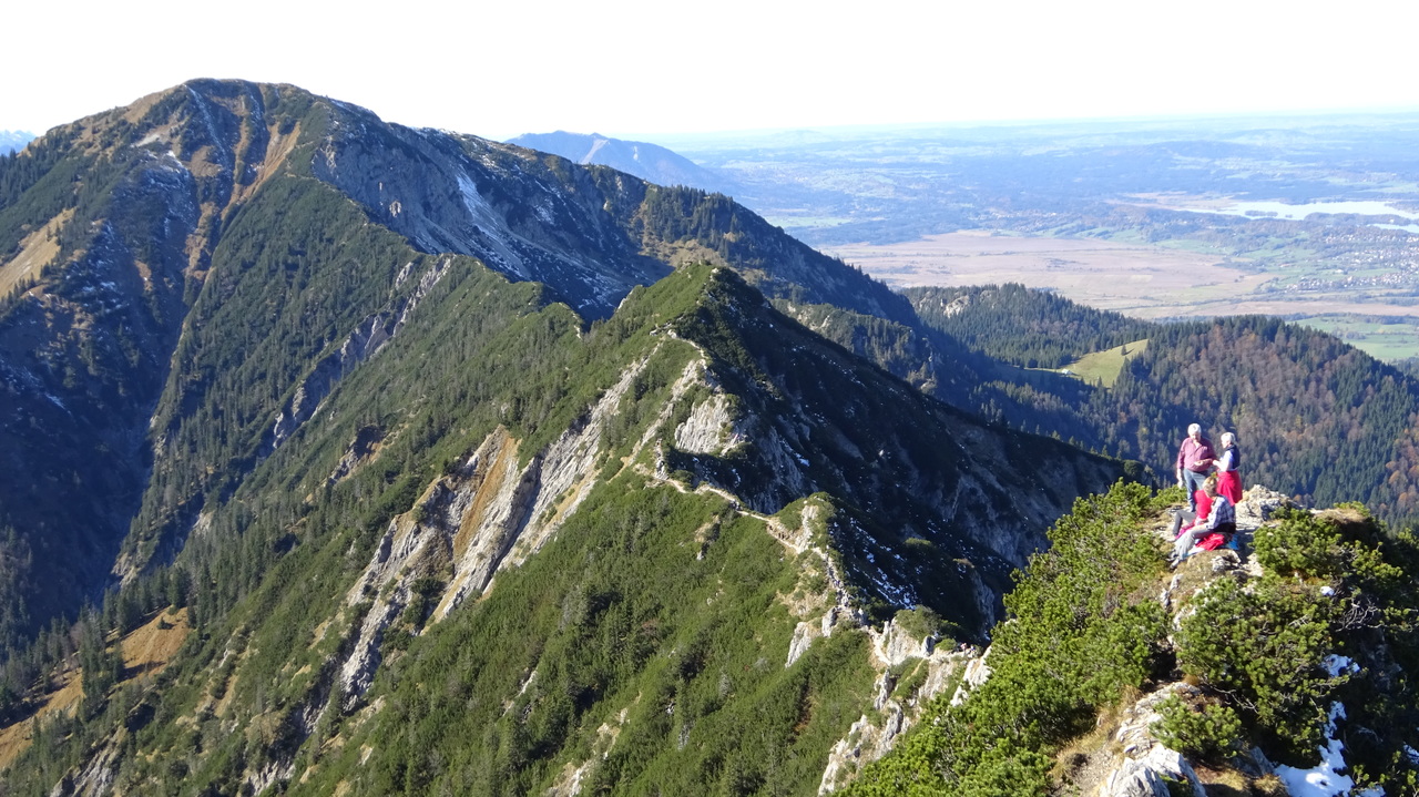
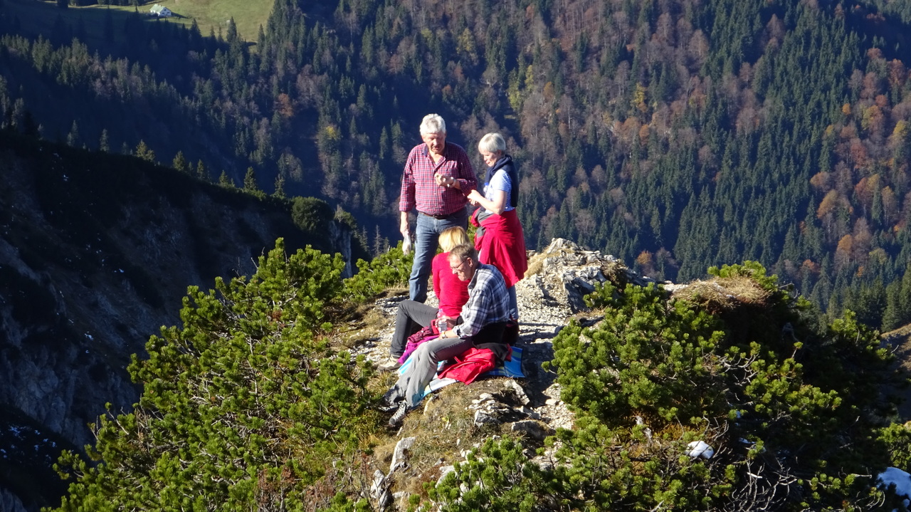
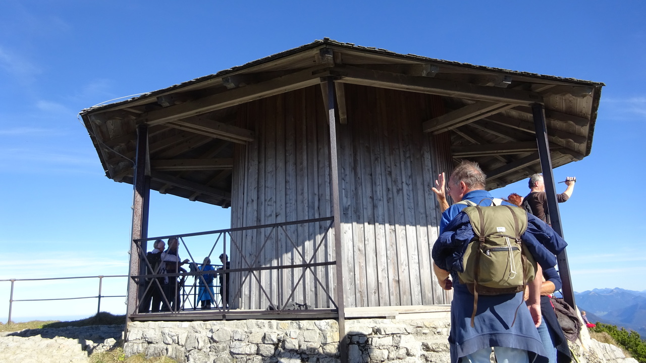
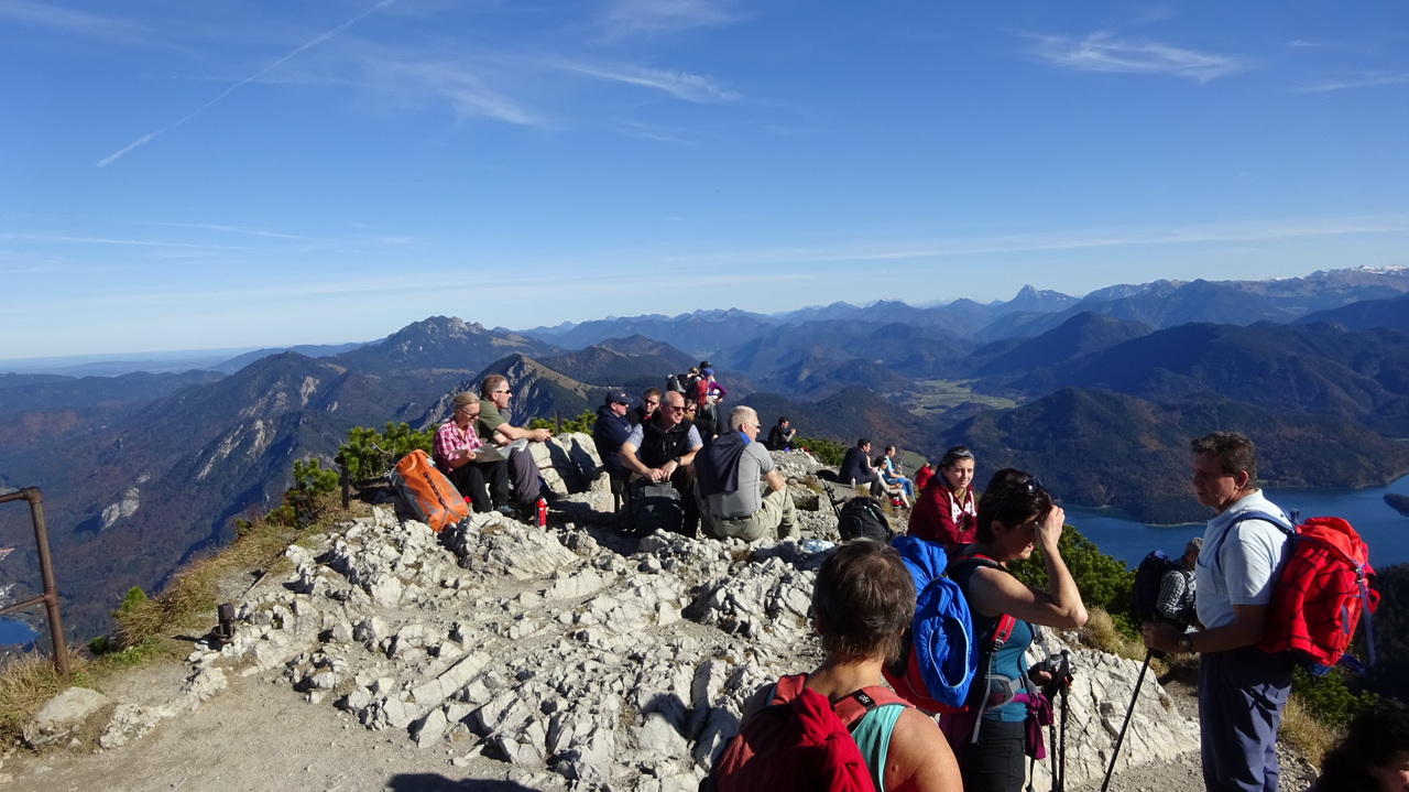
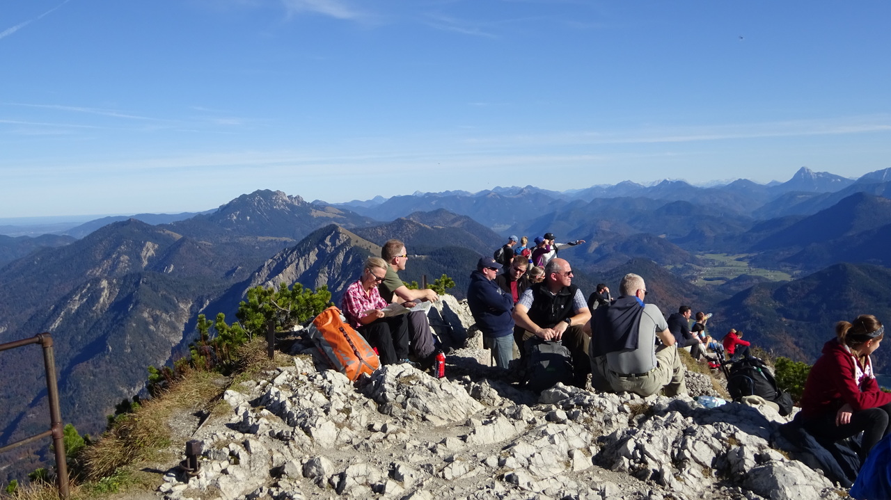
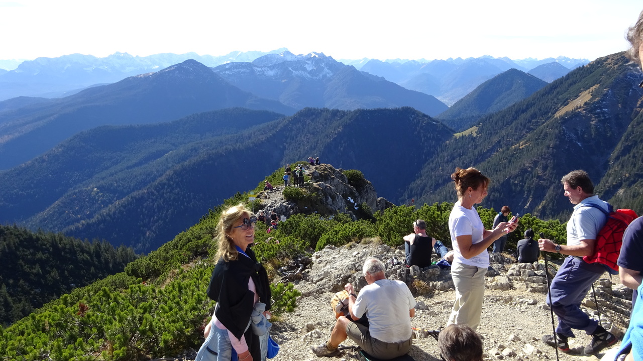
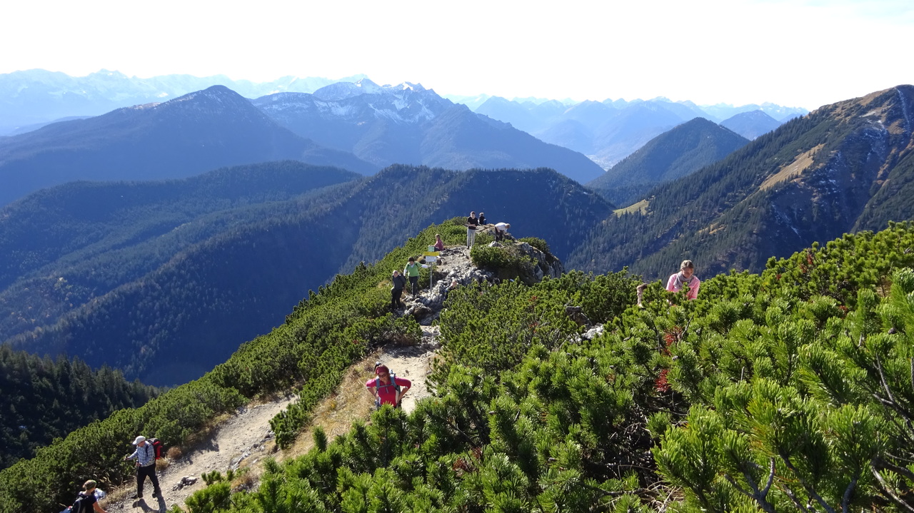
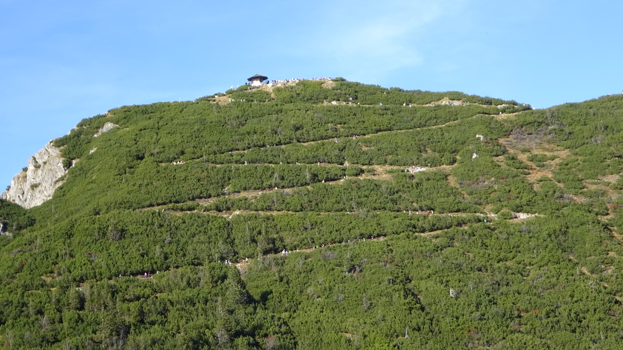
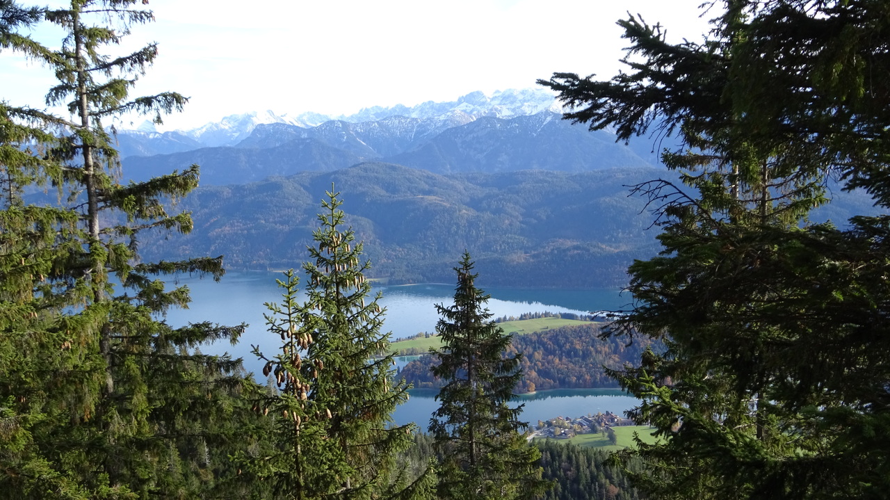
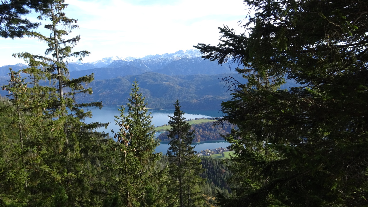

Map of the route “Herzogstand – Herbst”: 14,56 km, 1.589 m of climbing and 1.593 m of descent, elevation between 807 m and 1.758 m, time 01:24:15. It is a loop that starts and ends at 47.59610, 11.31703 (latitude, longitude).
Gesamtstrecke: 14.59 km
Maximale Höhe: 1758 m
Gesamtanstieg: 1589 m
Gesamtzeit: 01:24:23
Download file: HerzogstandHeimgarten.gpx
Maximale Höhe: 1758 m
Gesamtanstieg: 1589 m
Gesamtzeit: 01:24:23