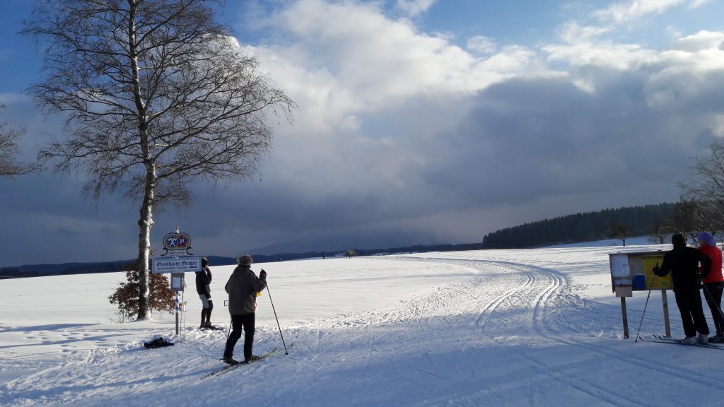
auf die schnelle mal nach Humbach, wird immer seltener, da immer seltener länger Schnee
Map of the route “Humbach”: 22,57 km, 495 m of climbing and 498 m of descent, elevation between 723 m and 785 m, time 03:13:12. It is a loop that starts and ends at 47.86644, 11.54481 (latitude, longitude).
Gesamtstrecke: 22.59 km
Maximale Höhe: 786 m
Gesamtanstieg: 495 m
Gesamtzeit: 03:13:28
Download file: Humbach.gpx
Maximale Höhe: 786 m
Gesamtanstieg: 495 m
Gesamtzeit: 03:13:28