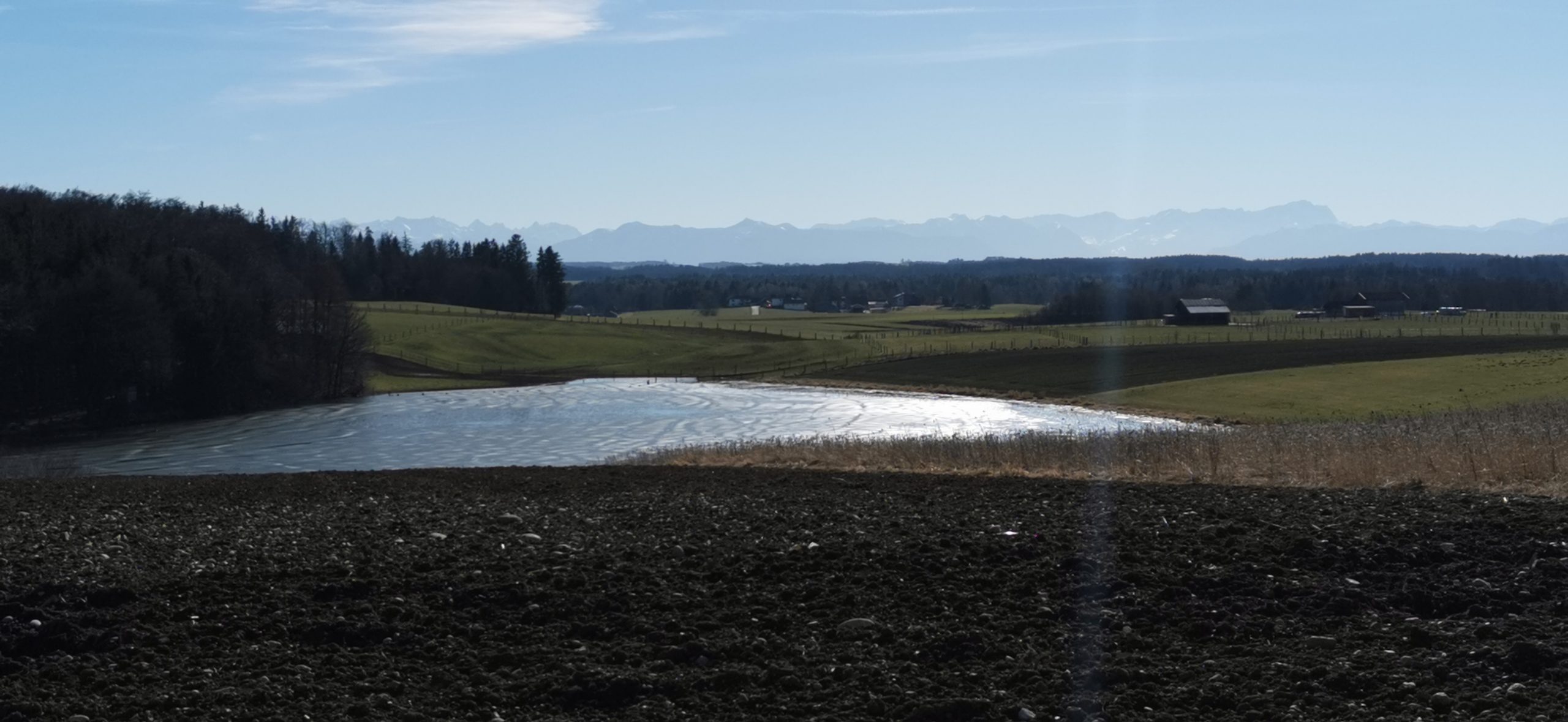
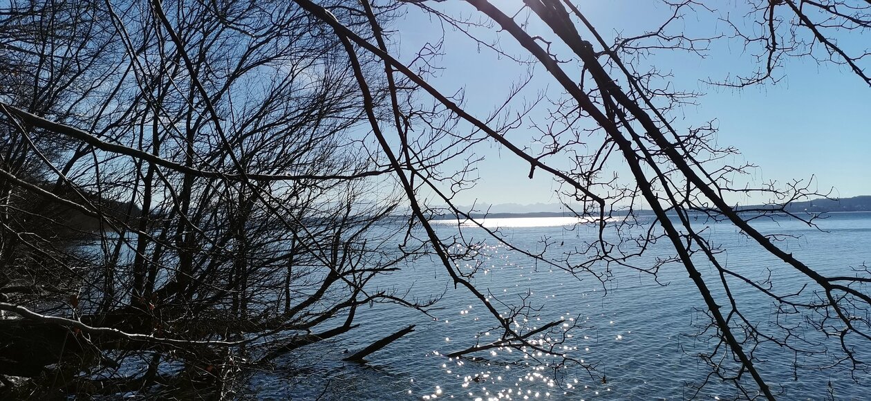
über den Forstenrieder Park nach Wangen + Bachhausen nach Münsing auf besten Waldautobahnen
Map of the route “Münsing”: 71,10 km, 358 m of climbing and 402 m of descent, elevation between 487 m and 685 m, time 04:34:05. It starts at 48.12978, 11.47842 and ends at 48.18103, 11.42260 (latitude, longitude).
Gesamtstrecke: 71.12 km
Maximale Höhe: 685 m
Gesamtanstieg: 358 m
Gesamtzeit: 04:34:16
Download file: Langwied-Münsing-2021.gpx
Maximale Höhe: 685 m
Gesamtanstieg: 358 m
Gesamtzeit: 04:34:16