Tolle Aussicht ins Inntal
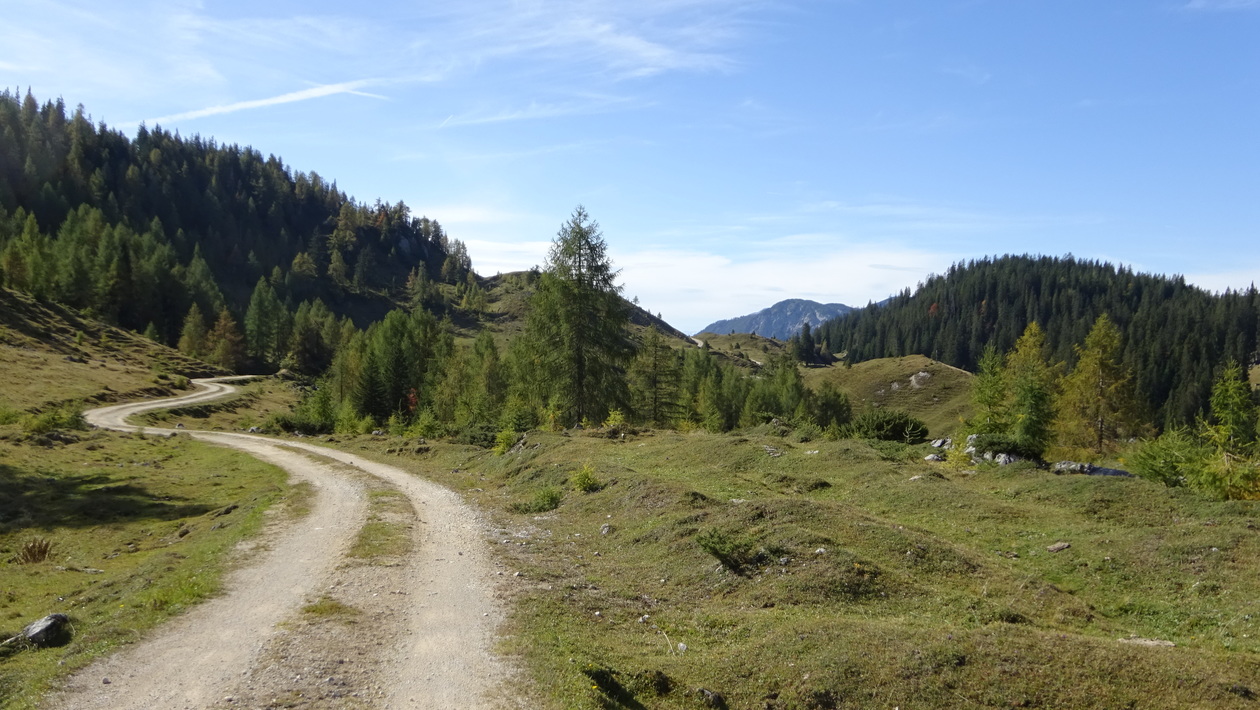
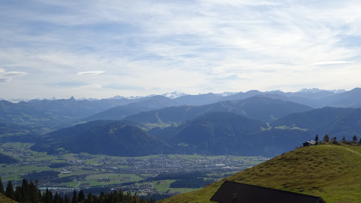
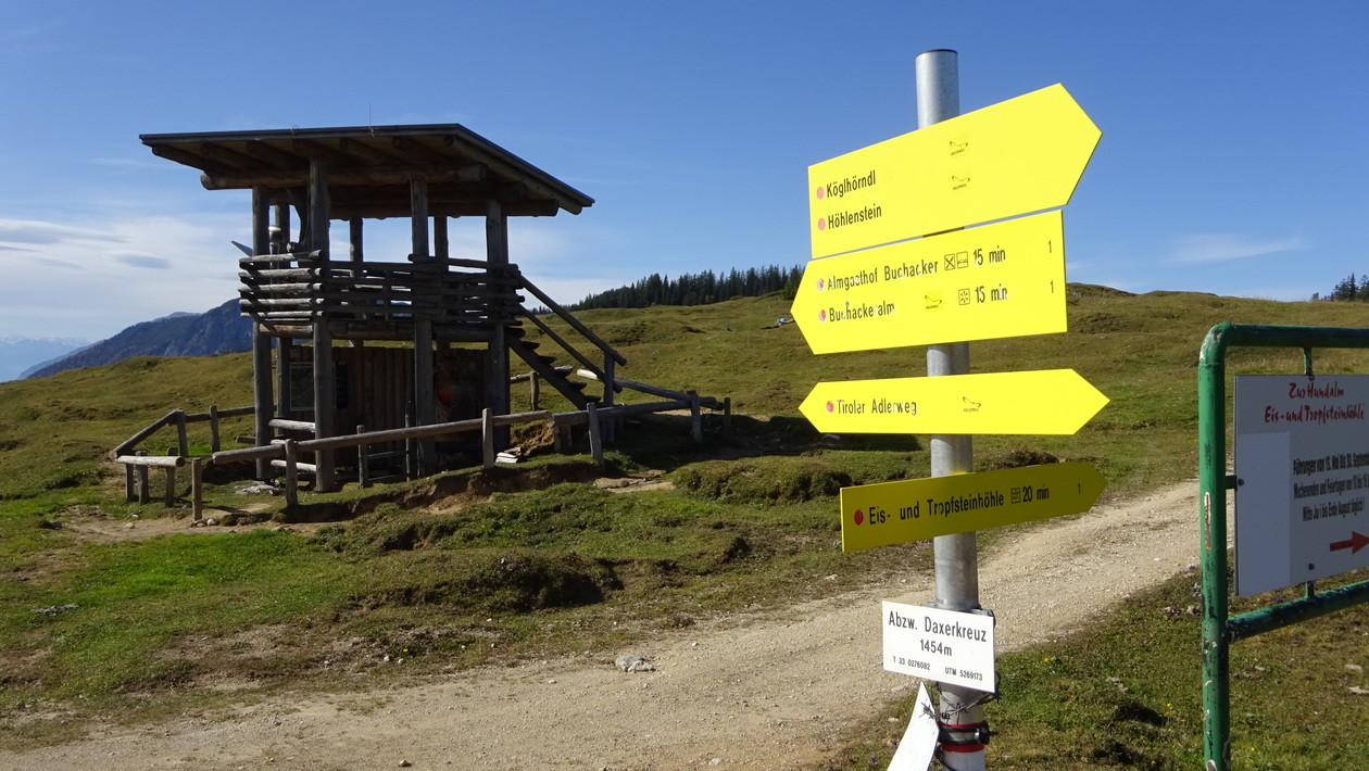
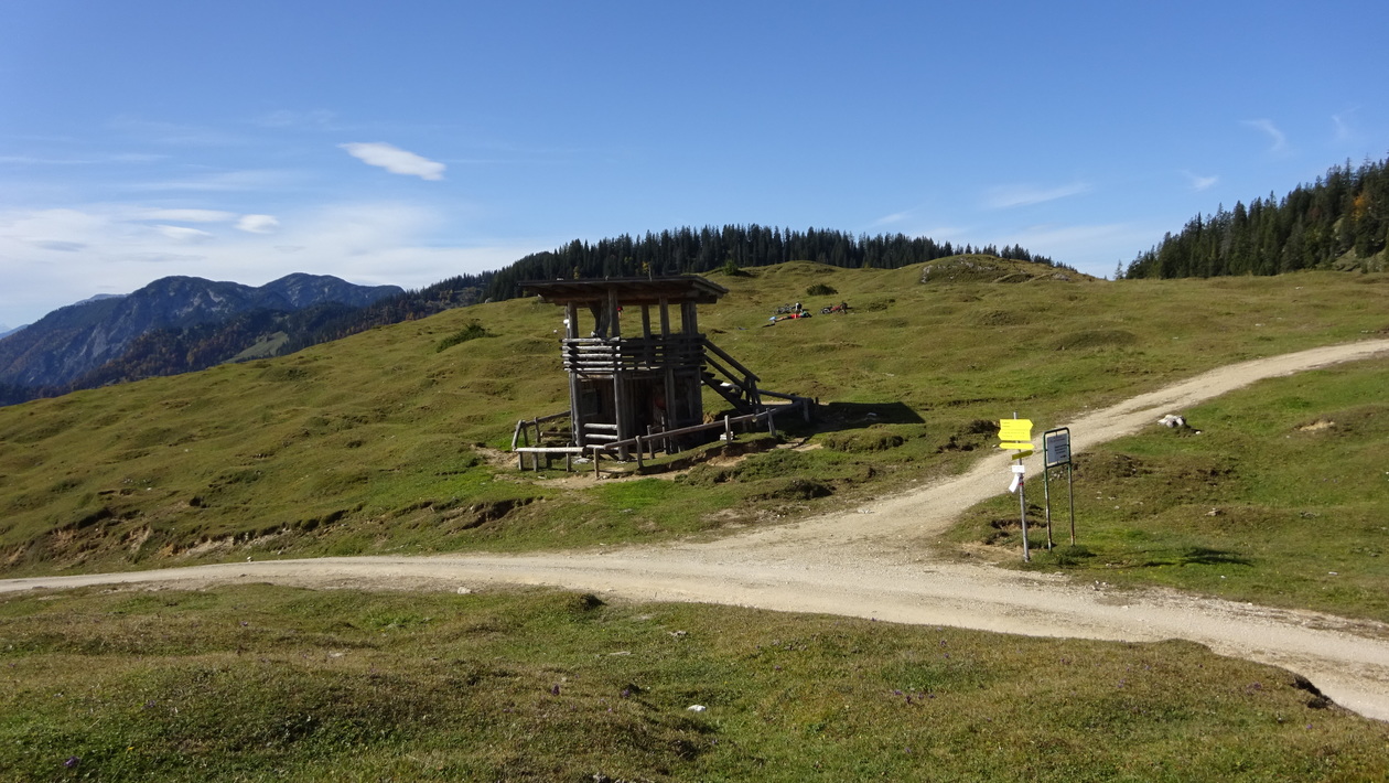
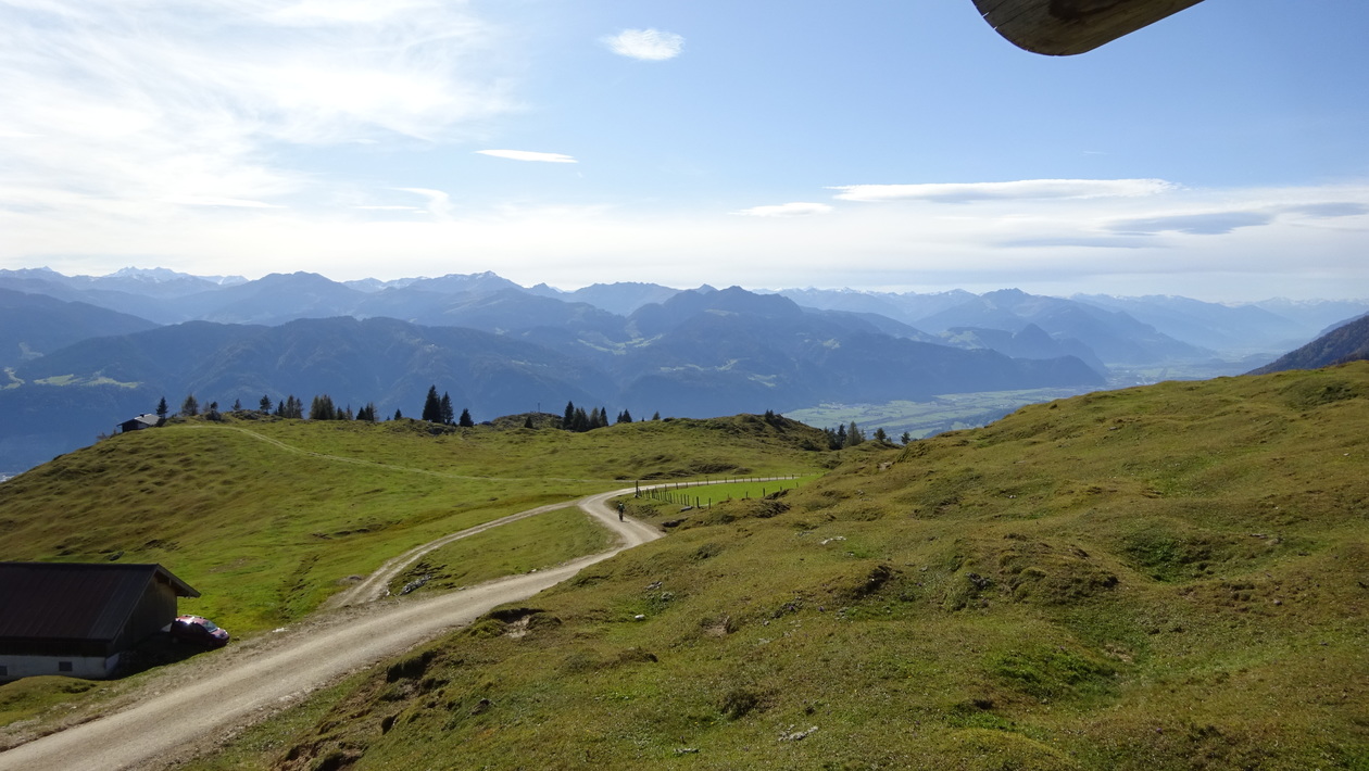
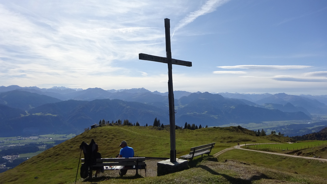
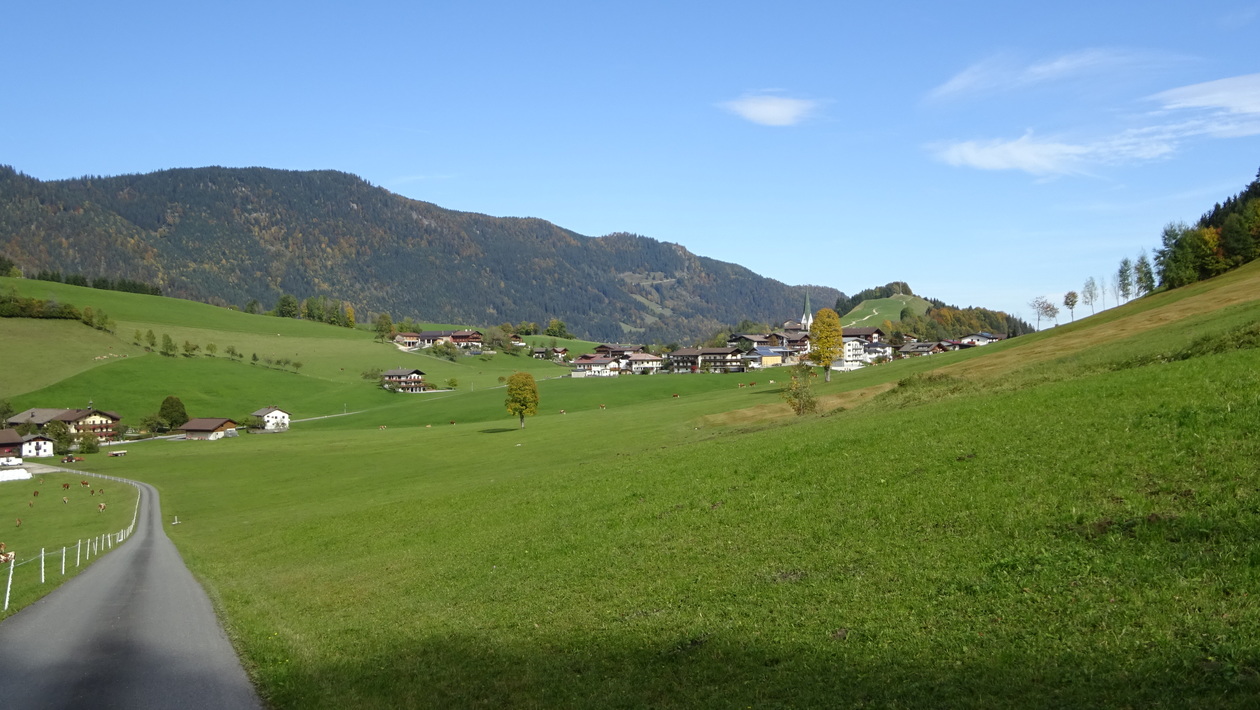
ab Parkplatz Mariandlalm mit dem MTB über Thiersee auf breiten Forstwegen rauf zur besten Aussicht auf das Inntal, dann über die Buchackeralm immer runter nach Thiersee zurück.
Map of the route “Hinterthiersee – Buchackeralm”: 38,82 km, 1.110 m of climbing and 1.119 m of descent, elevation between 653 m and 1.454 m, time 06:27:12. It is a loop that starts and ends at 47.60717, 12.01880 (latitude, longitude).
Gesamtstrecke: 38.82 km
Maximale Höhe: 1454 m
Gesamtanstieg: 1110 m
Gesamtzeit: 06:27:13
Download file: HinterthierseeBuchackernalm-gef.gpx
Maximale Höhe: 1454 m
Gesamtanstieg: 1110 m
Gesamtzeit: 06:27:13