Super Rundtour von Eschenlohe über Partenkirchen, Wallgau durchs Eschelainetal zurück.
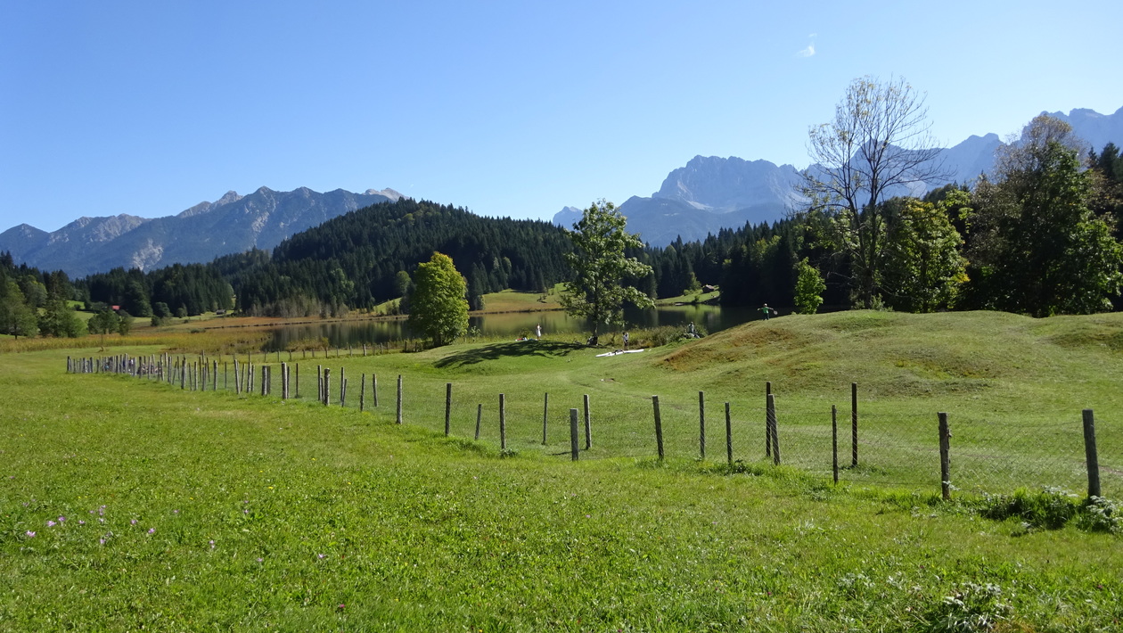
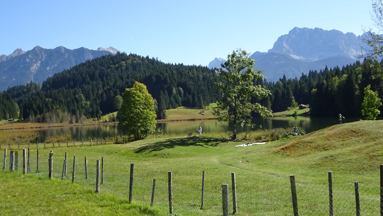
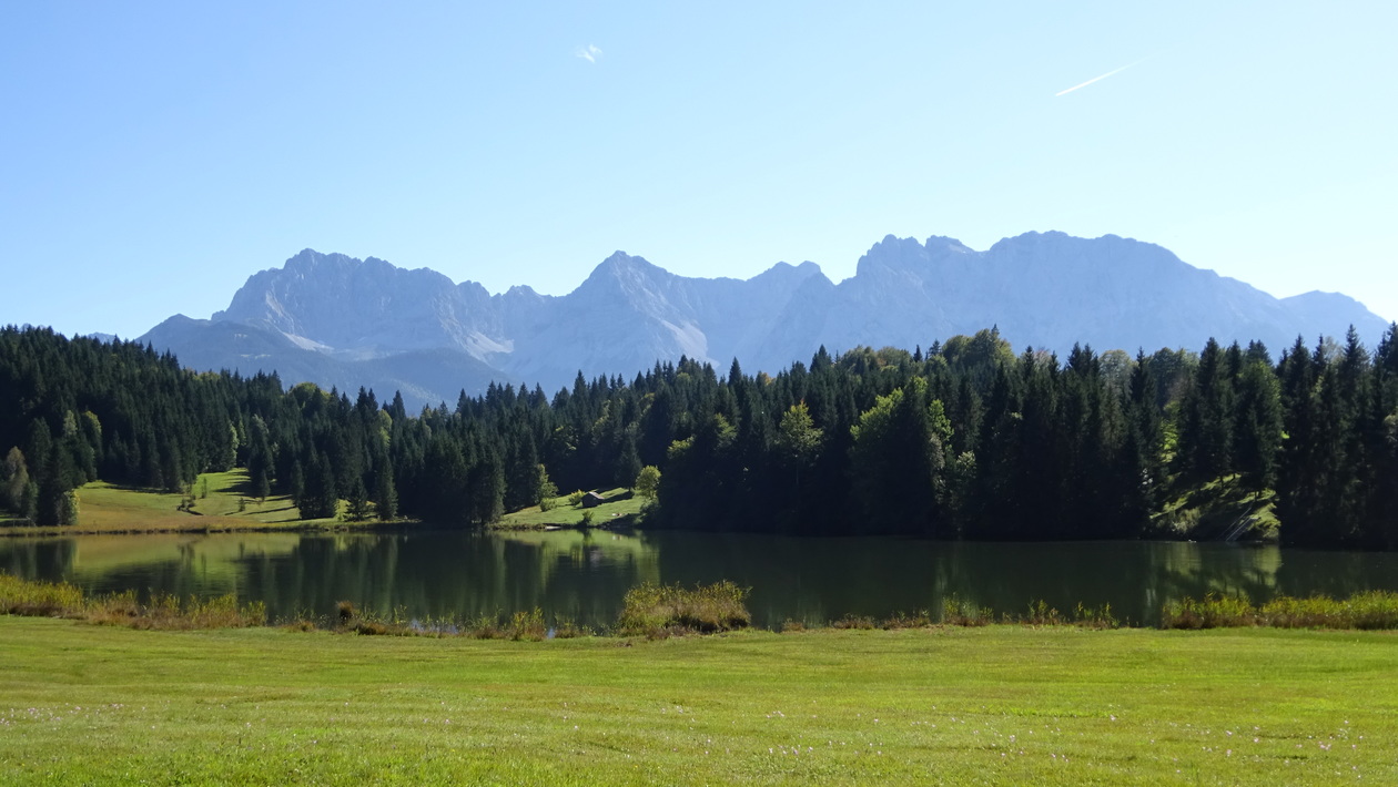
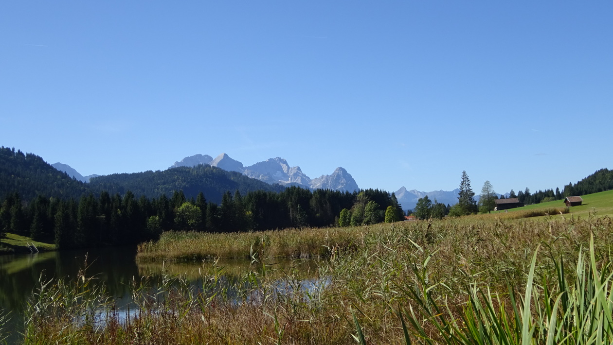
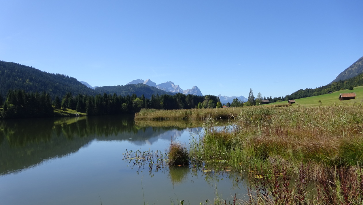
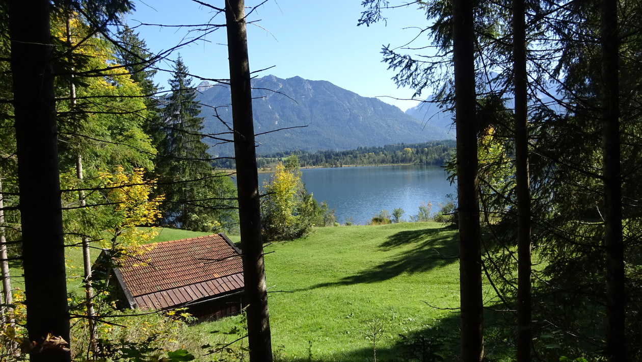
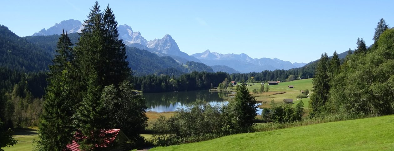
von Eschenlohe über Partenkirchen, Gschwandner Bauer, Geroldsee, Wallgau, Eschelainetal
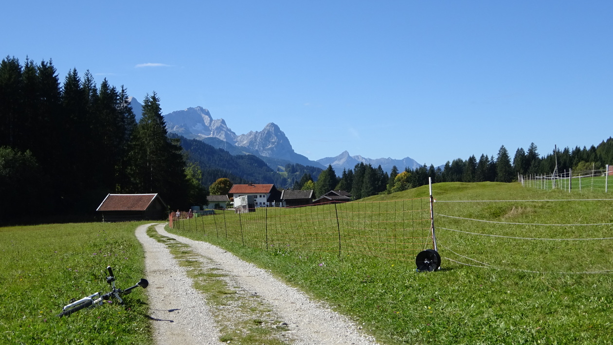
– auf meist einfachen Forststrassen
– im Eschelainetal gehts ein wenig holprig runter + Bachüberquerung.
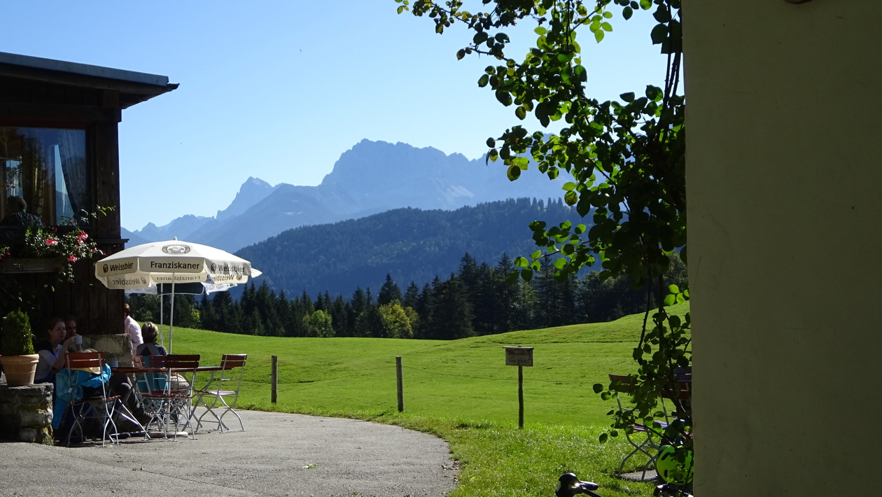
Gschwandner Bauer 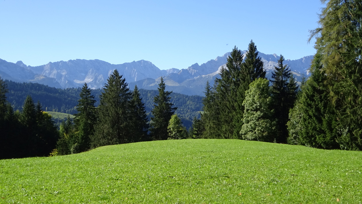
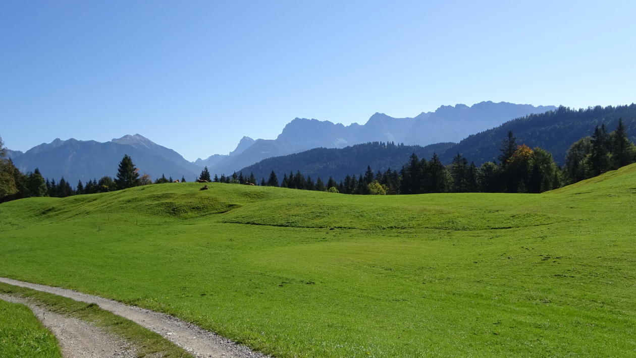
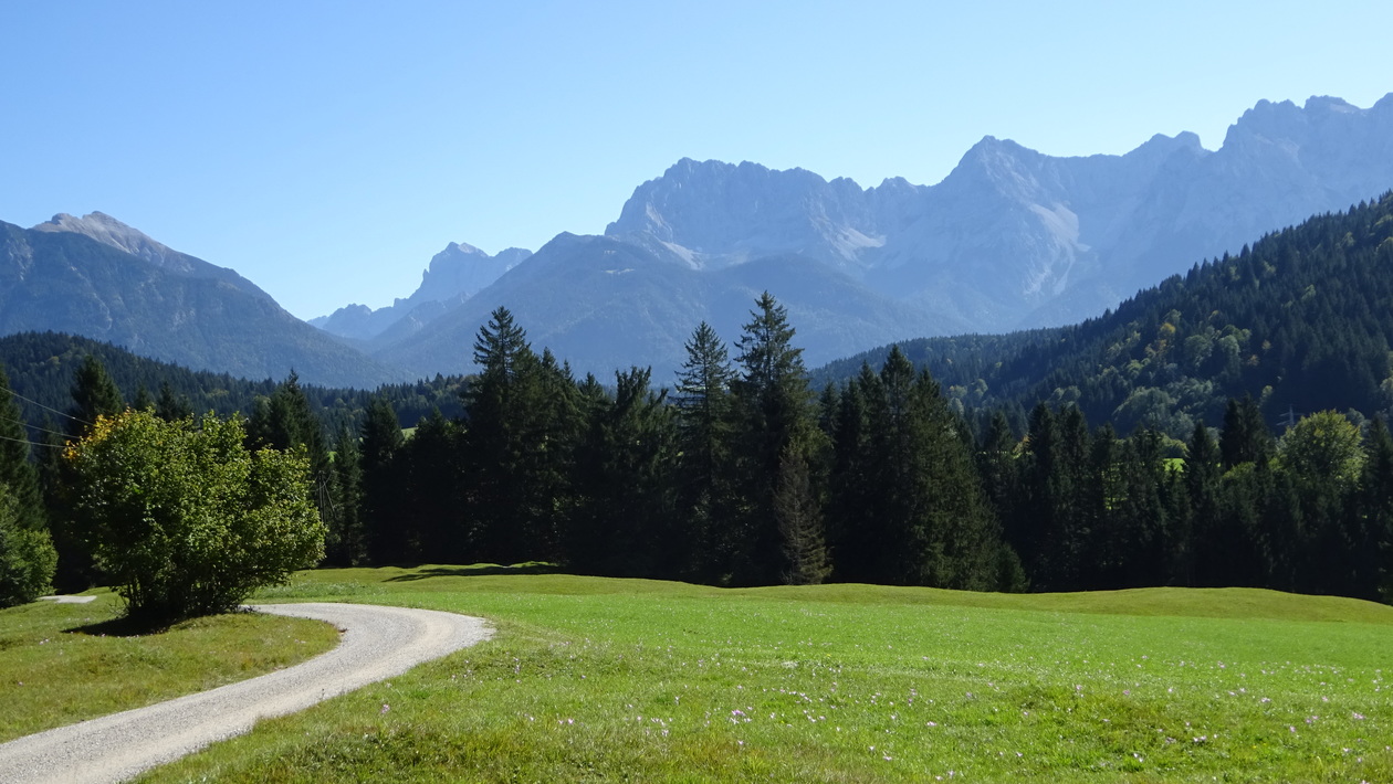

Map of the route “Eschenlohe Wallgau”: 38,82 km, 1.110 m of climbing and 1.119 m of descent, elevation between 653 m and 1.454 m, time 06:27:12. It is a loop that starts and ends at 47.60717, 12.01880 (latitude, longitude).
Gesamtstrecke: 38.82 km
Maximale Höhe: 1454 m
Gesamtanstieg: 1110 m
Gesamtzeit: 06:27:13
Download file: HinterthierseeBuchackernalm-gef.gpx
Maximale Höhe: 1454 m
Gesamtanstieg: 1110 m
Gesamtzeit: 06:27:13