von Buxheim über Eichstätt – an Treuchtlingen vorbei, dann teils über den Altmühltal Radweg zurück – ein wenig hügelig – beim nächsten Mal vielleicht schon ab Dietfurt auf den Radweg

12 Apostel bei Solnhofen 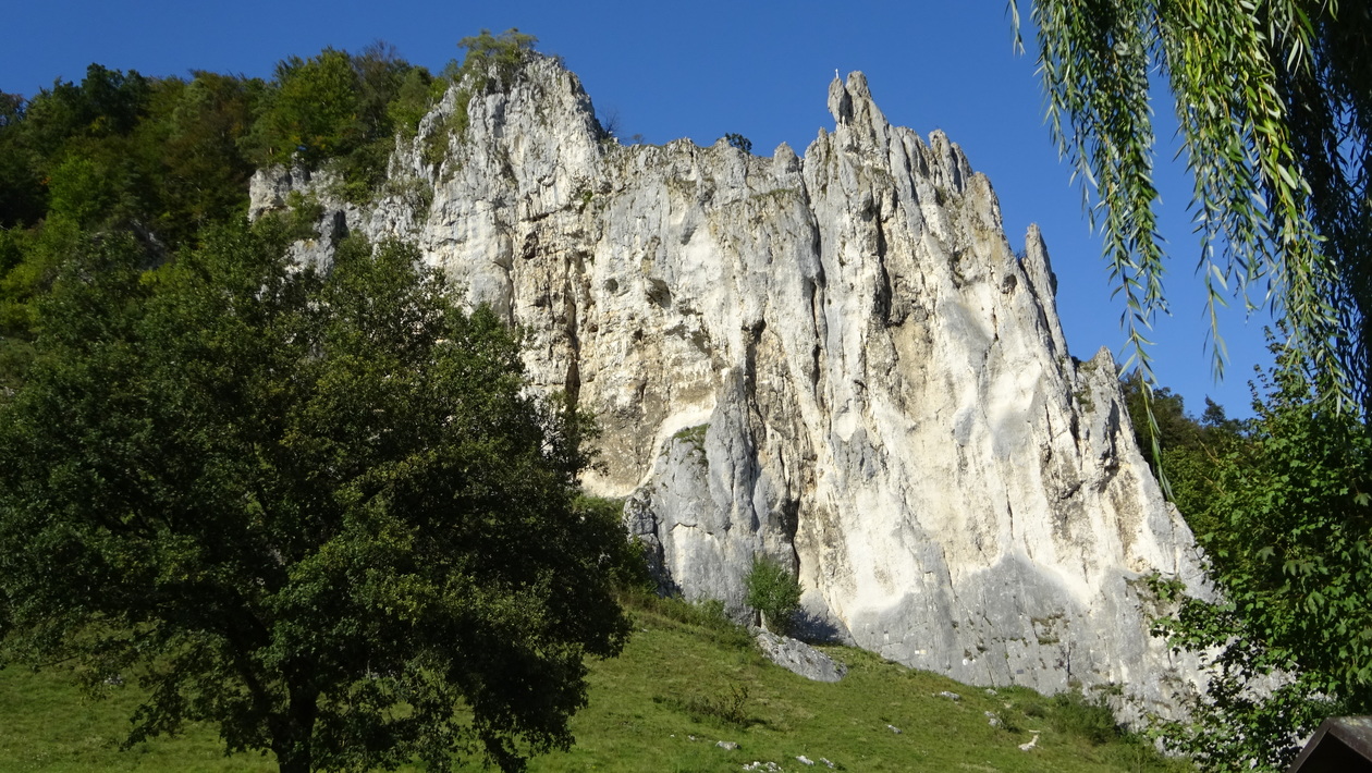
alles Meeresgrund
Map of the route “Altmühltal”: 118,59 km, 1.300 m of climbing and 1.300 m of descent, elevation between 383 m and 598 m, time 06:05:27. It is a loop that starts and ends at 48.80018, 11.29725 (latitude, longitude).
Gesamtstrecke: 118.62 km
Maximale Höhe: 598 m
Gesamtanstieg: 1300 m
Gesamtzeit: 06:05:32
Download file: Buxheim-Treuchtlingen.gpx
Maximale Höhe: 598 m
Gesamtanstieg: 1300 m
Gesamtzeit: 06:05:32