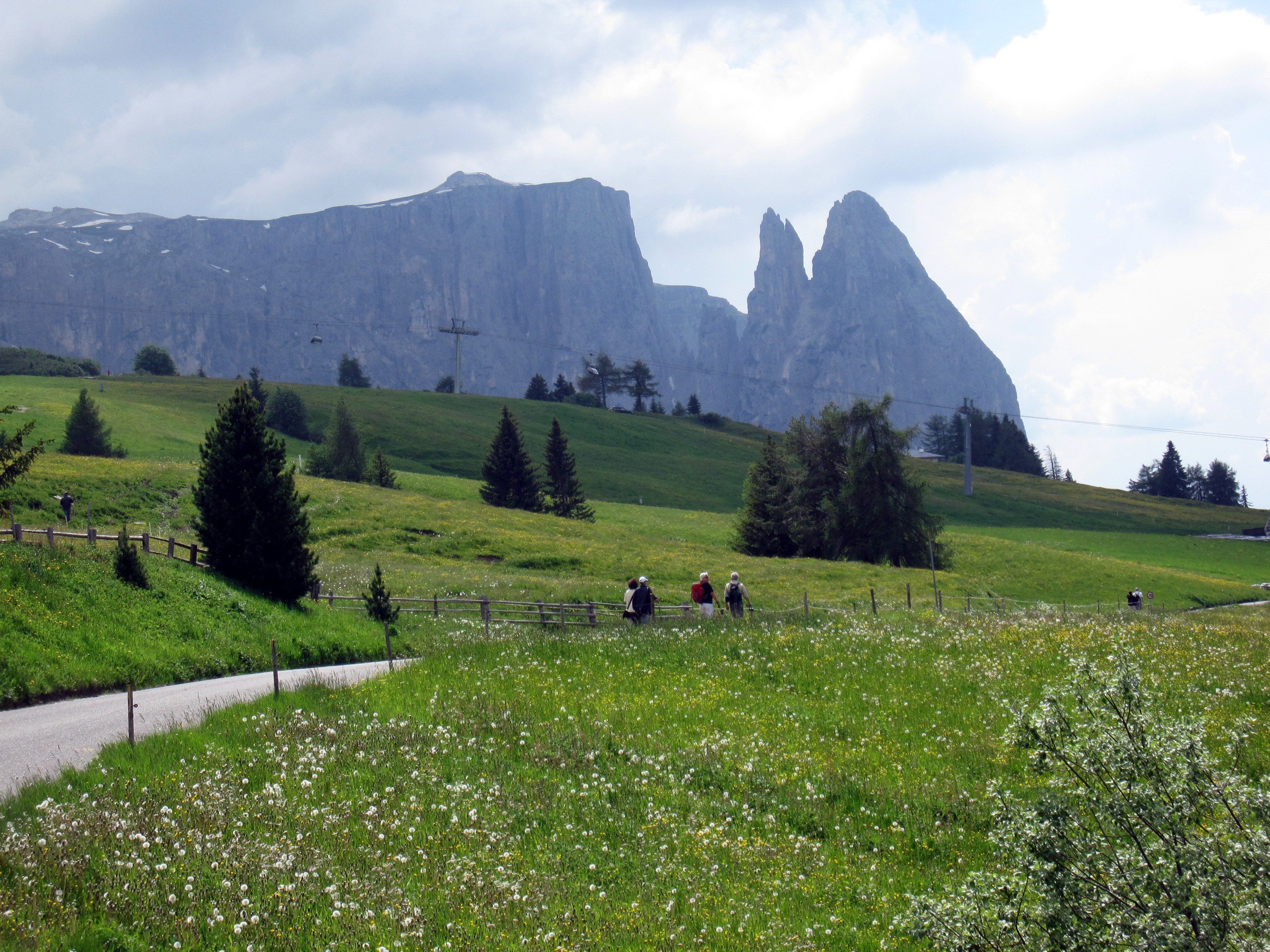
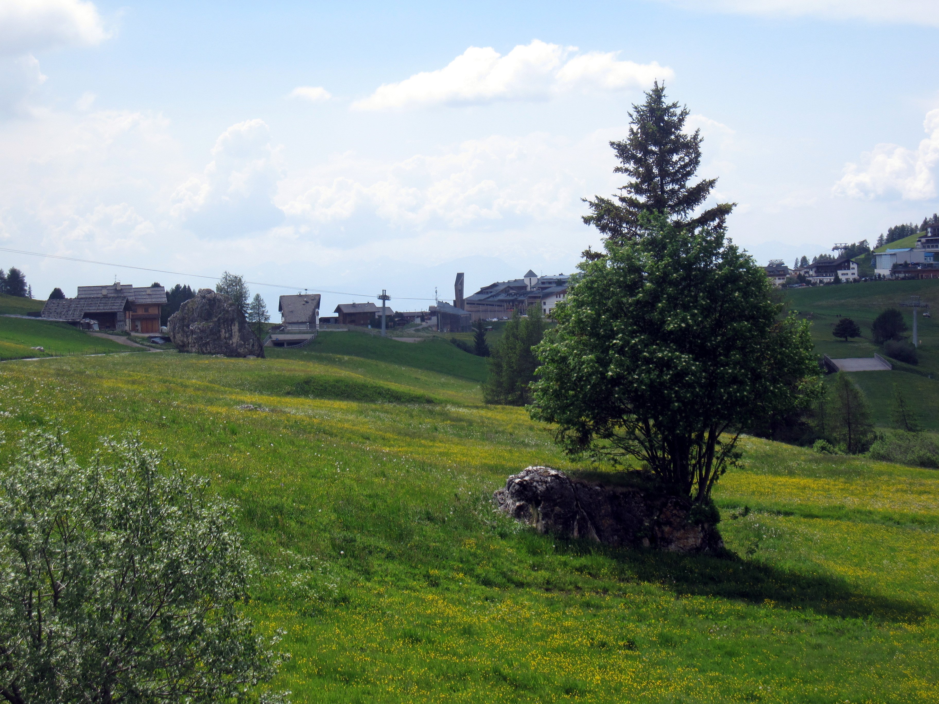
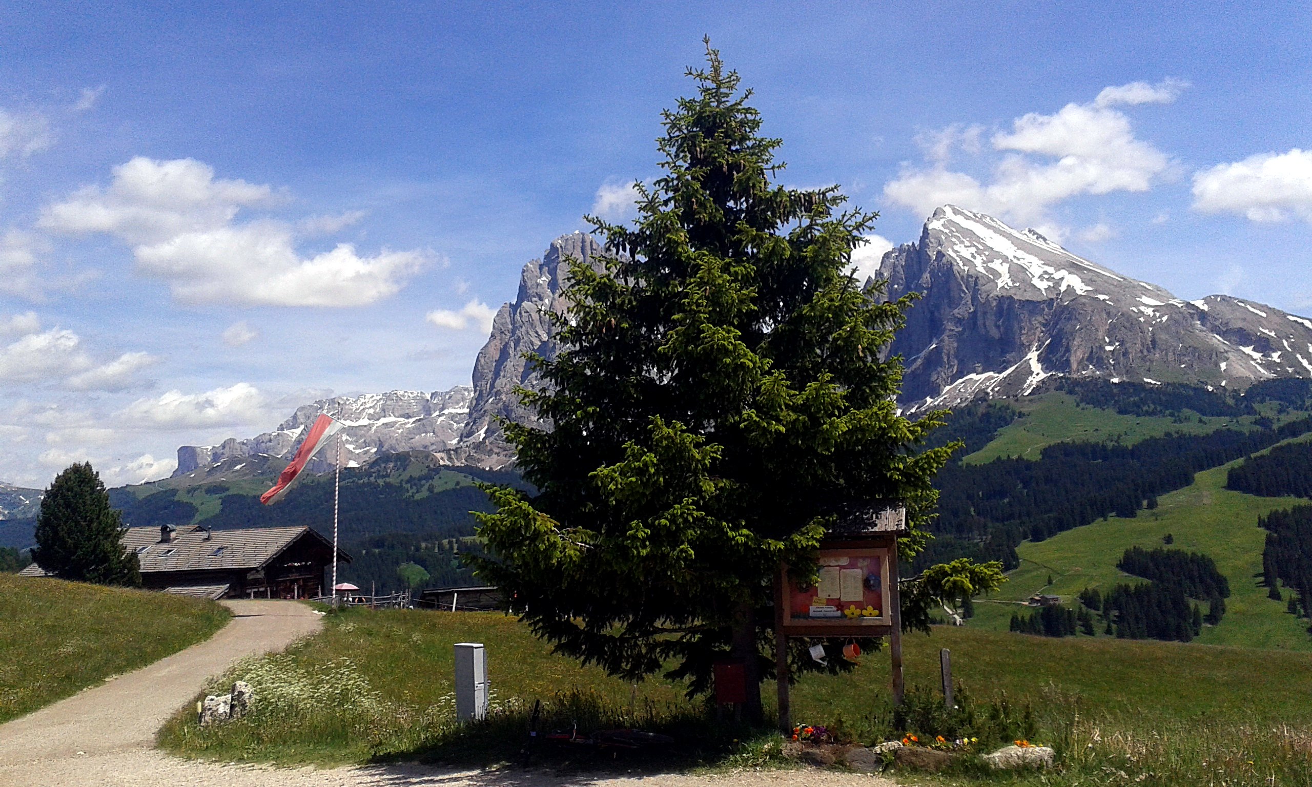
kleine Tour Von St. Christina durch’s Jendertal zur Seiseralm,
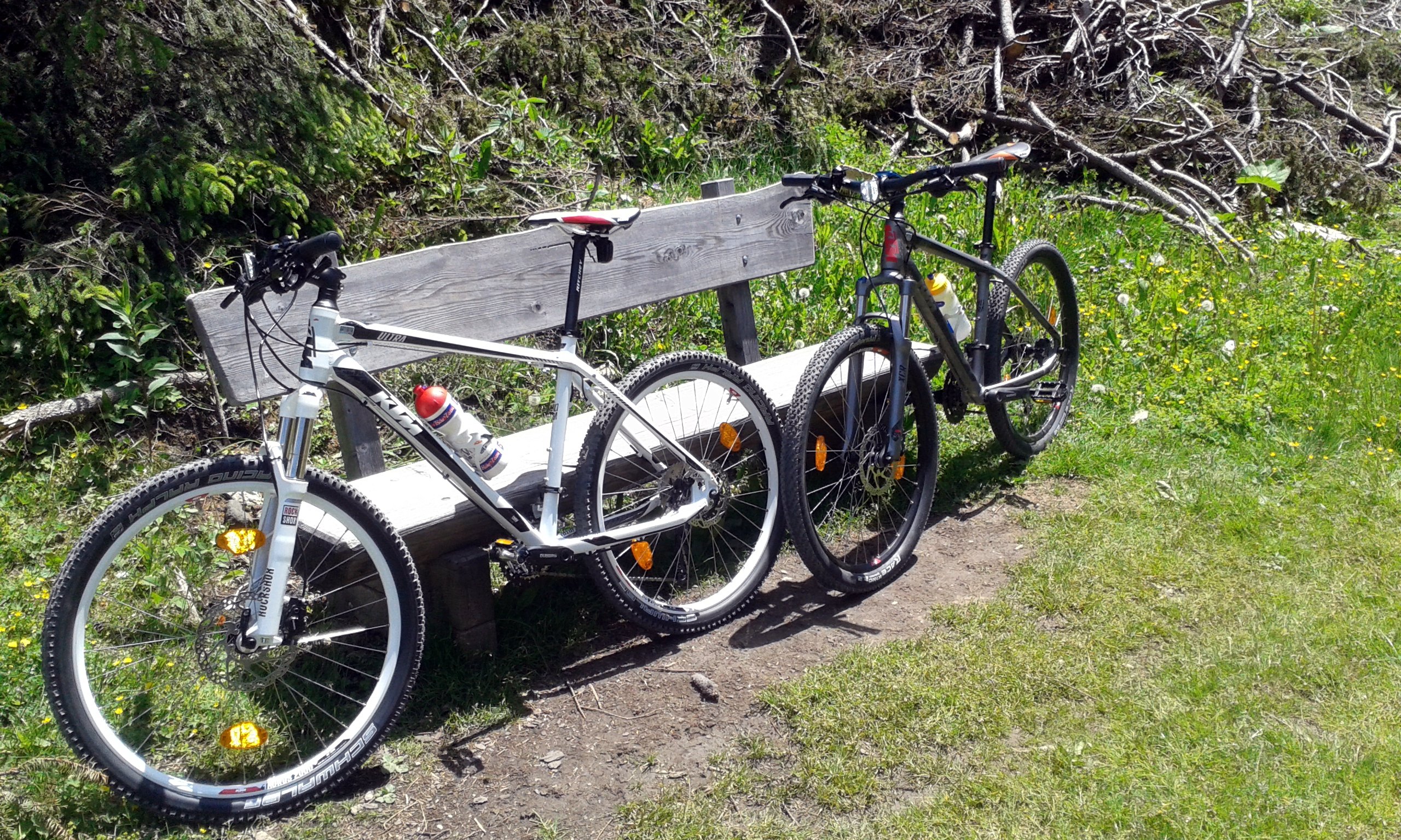
Sonntag war der Sella Ronda Bike Day


Map of the route “Seiseralm”: 34,99 km, 969 m of climbing and 972 m of descent, elevation between 1.247 m and 1.790 m, time 04:59:59. It is a loop that starts and ends at 46.55835, 11.72631 (latitude, longitude).
Gesamtstrecke: 35.06 km
Maximale Höhe: 1790 m
Gesamtanstieg: 969 m
Gesamtzeit: 05:00:08
Download file: Seiseralm-2014.gpx
Maximale Höhe: 1790 m
Gesamtanstieg: 969 m
Gesamtzeit: 05:00:08