schöne Tour in die Valepp 123 km
mit Einkehr in der alten Wurzhütt’n
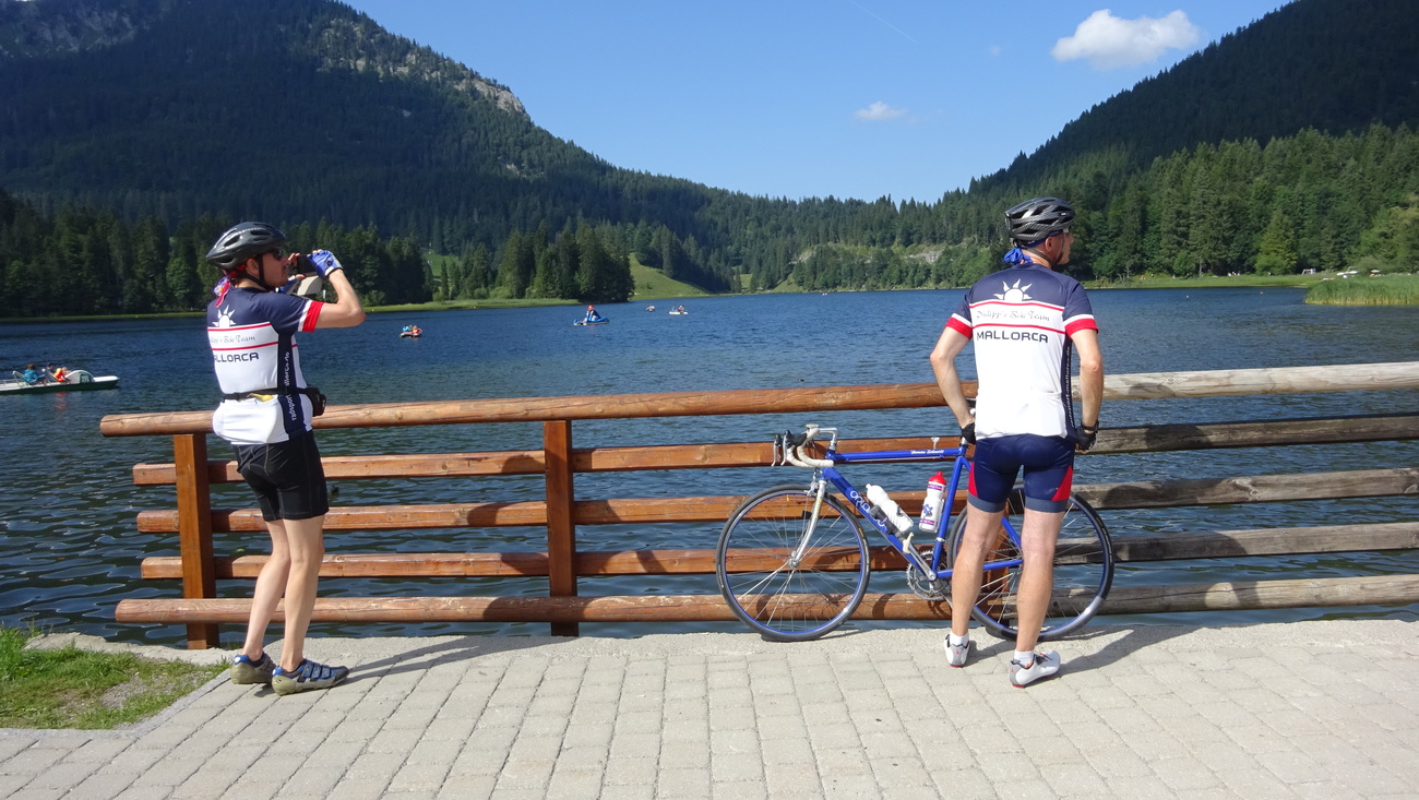
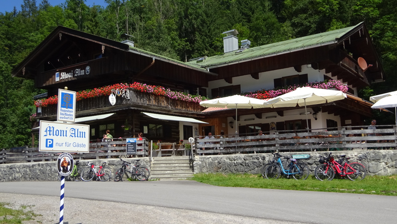
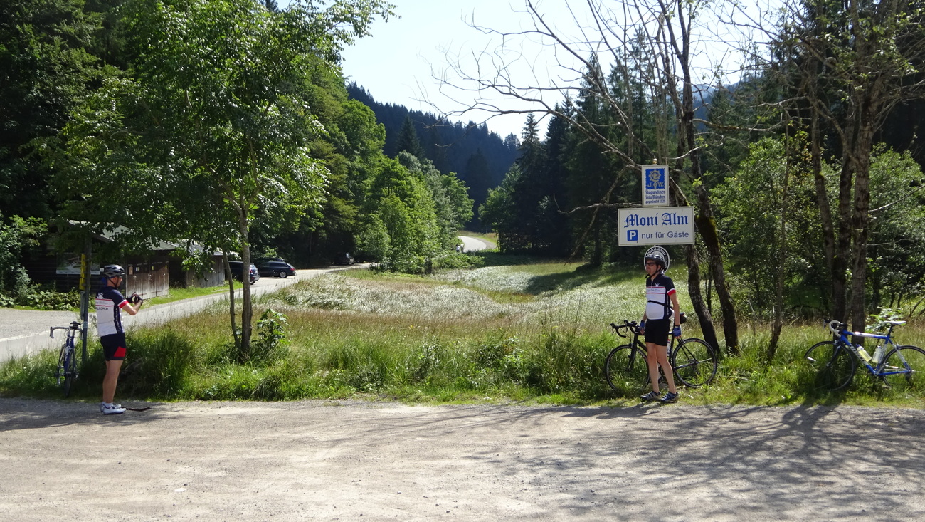
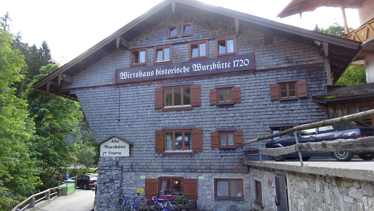
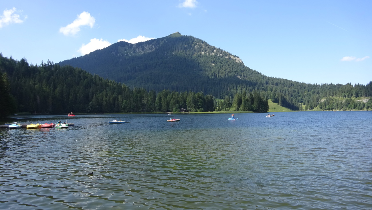
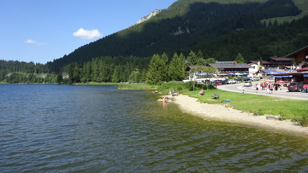
Strecke auf Wendelsteinrundfahrt Spuren 2019 – 123 km – 1417 Hm – 5:39 ohne Pausen
hinter Agatharied wird noch a bisserl bucklig
Map of the route “Kirchbichl – Valepp”: 122,25 km, 1.316 m of climbing and 1.314 m of descent, elevation between 650 m and 1.122 m, time 08:11:41. It starts at 47.79944, 11.57602 and ends at 47.80142, 11.58092 (latitude, longitude).
Gesamtstrecke: 122.71 km
Maximale Höhe: 1123 m
Gesamtanstieg: 1316 m
Gesamtzeit: 08:12:14
Download file: Kirchbichl-Valepp-2019-124.gpx
Maximale Höhe: 1123 m
Gesamtanstieg: 1316 m
Gesamtzeit: 08:12:14
Abkürzung hinter Hausham – 120 km
Map of the route “Kirchbichl – Valepp”: 119,34 km, 1.586 m of climbing and 1.577 m of descent, elevation between 650 m and 1.110 m, time 07:42:24. It starts at 47.79946, 11.57597 and ends at 47.80071, 11.58198 (latitude, longitude).
Gesamtstrecke: 119.93 km
Maximale Höhe: 1110 m
Gesamtanstieg: 1586 m
Gesamtzeit: 07:42:37
Download file: Kirchbichl-Valepp-2017.gpx
Maximale Höhe: 1110 m
Gesamtanstieg: 1586 m
Gesamtzeit: 07:42:37