Jahr 2016 – beim 3. Anlauf hat das Wetter und die Runde geklappt –
die Strecke über den Schmalensee hat sich bewährt.
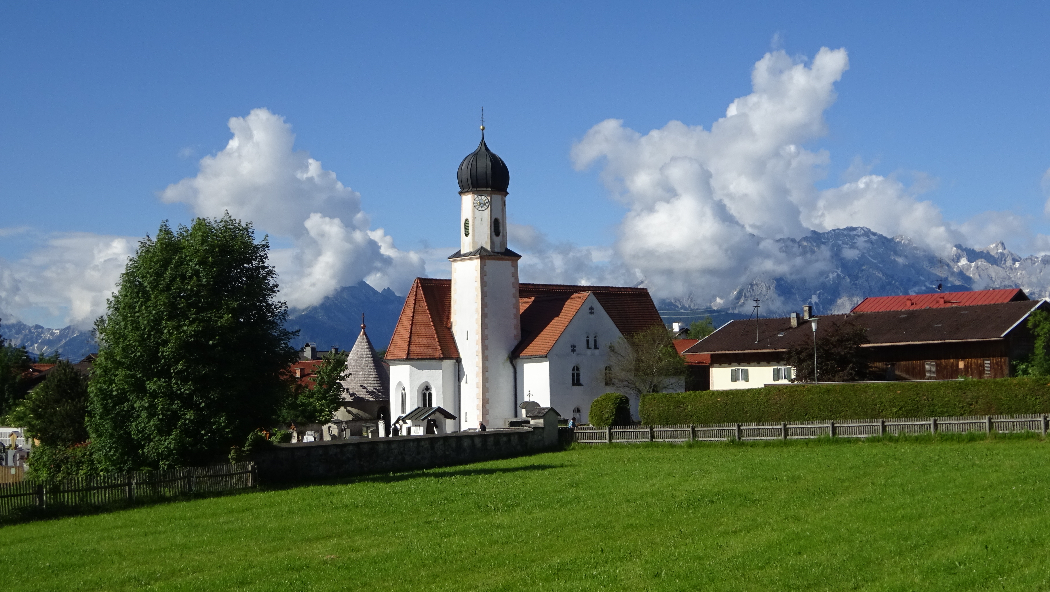
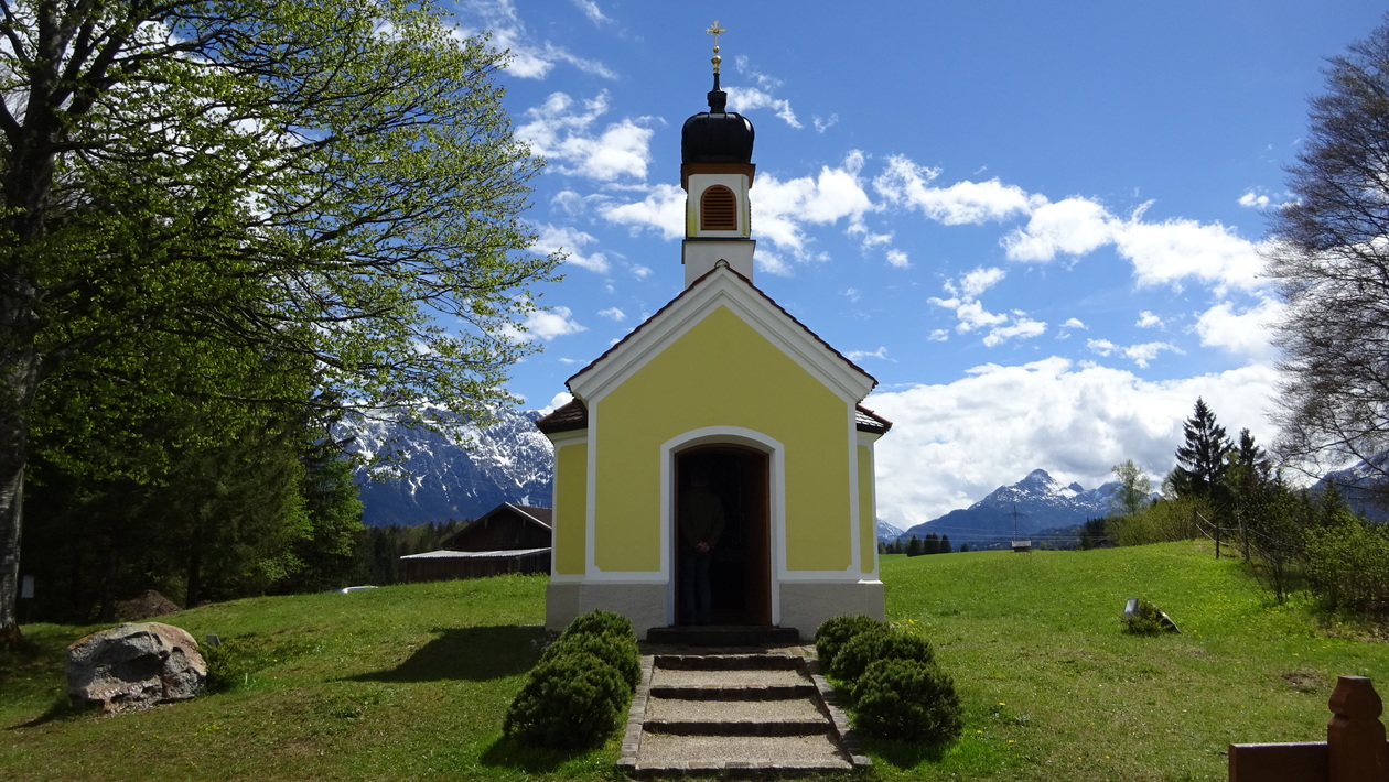
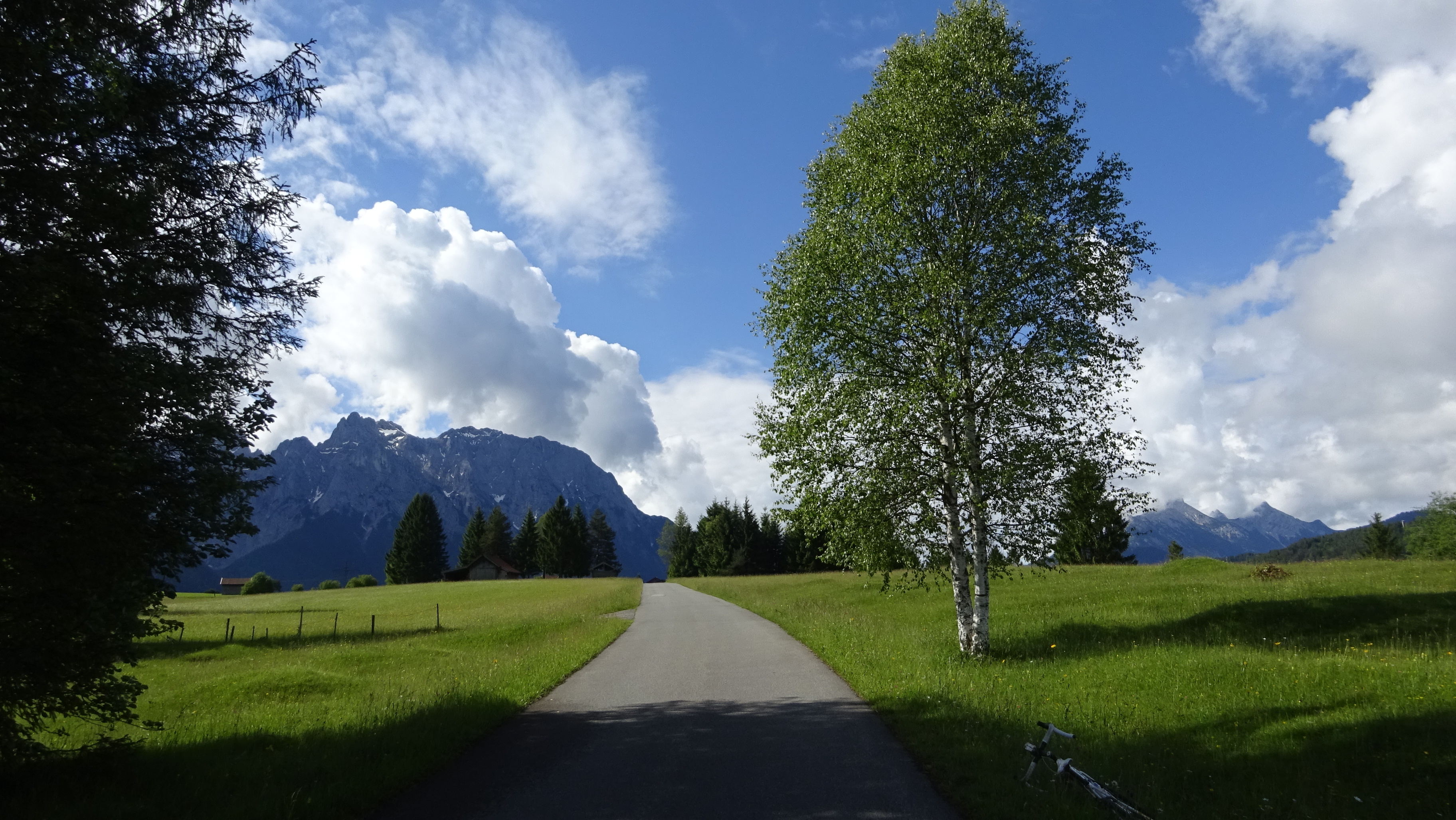
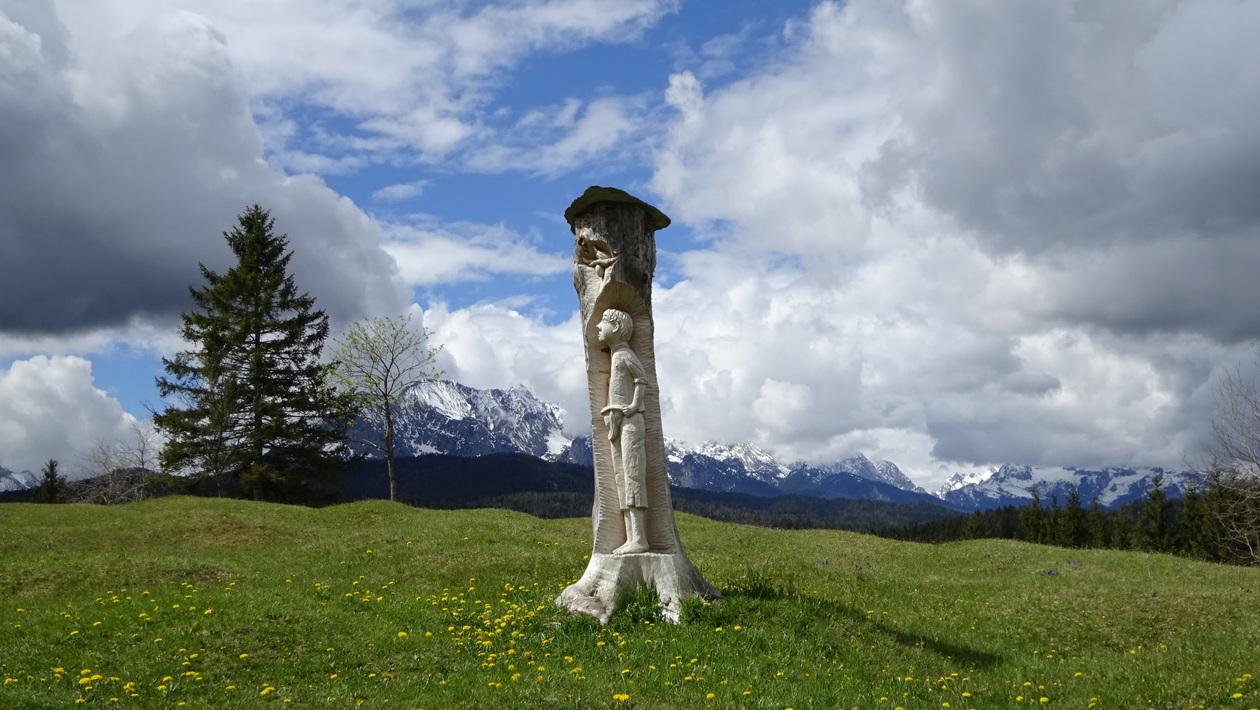
Map of the route “Kochel – Leutasch – Seefeld”: 137,32 km, 2.049 m of climbing and 2.034 m of descent, elevation between 585 m and 1.242 m, time 08:54:32. It is a loop that starts and ends at 47.66834, 11.32557 (latitude, longitude).
Maximale Höhe: 1243 m
Gesamtanstieg: 2049 m
Gesamtzeit: 08:54:44
Jahr 2015: durch Krün durch (1 Woche zuvor war die Prominenz da).


Map of the route “Kochel – Leutasch – Seefeld”: 104,25 km, 1.049 m of climbing and 1.050 m of descent, elevation between 612 m and 1.093 m, time 06:46:36. It starts at 47.66842, 11.32359 and ends at 47.66998, 11.32703 (latitude, longitude).
Maximale Höhe: 1093 m
Gesamtanstieg: 1049 m
Gesamtzeit: 06:46:41
Jahr 2017 – kleinere Runde nach Leutasch – sind nur 115 km + Zugabe in Unterau
super Strasserl hinter Krün nach Mittenwald, rückzu über die Gröblalm.
Map of the route “Kochel – Leutasch – Seefeld”: 121,92 km, 1.549 m of climbing and 1.550 m of descent, elevation between 586 m and 1.174 m, time 07:02:01. It starts at 47.65990, 11.32960 and ends at 47.67004, 11.32709 (latitude, longitude).
Maximale Höhe: 1175 m
Gesamtanstieg: 1549 m
Gesamtzeit: 07:02:05