mein Lieblingsberg – Verwünschungen gehören dazu….
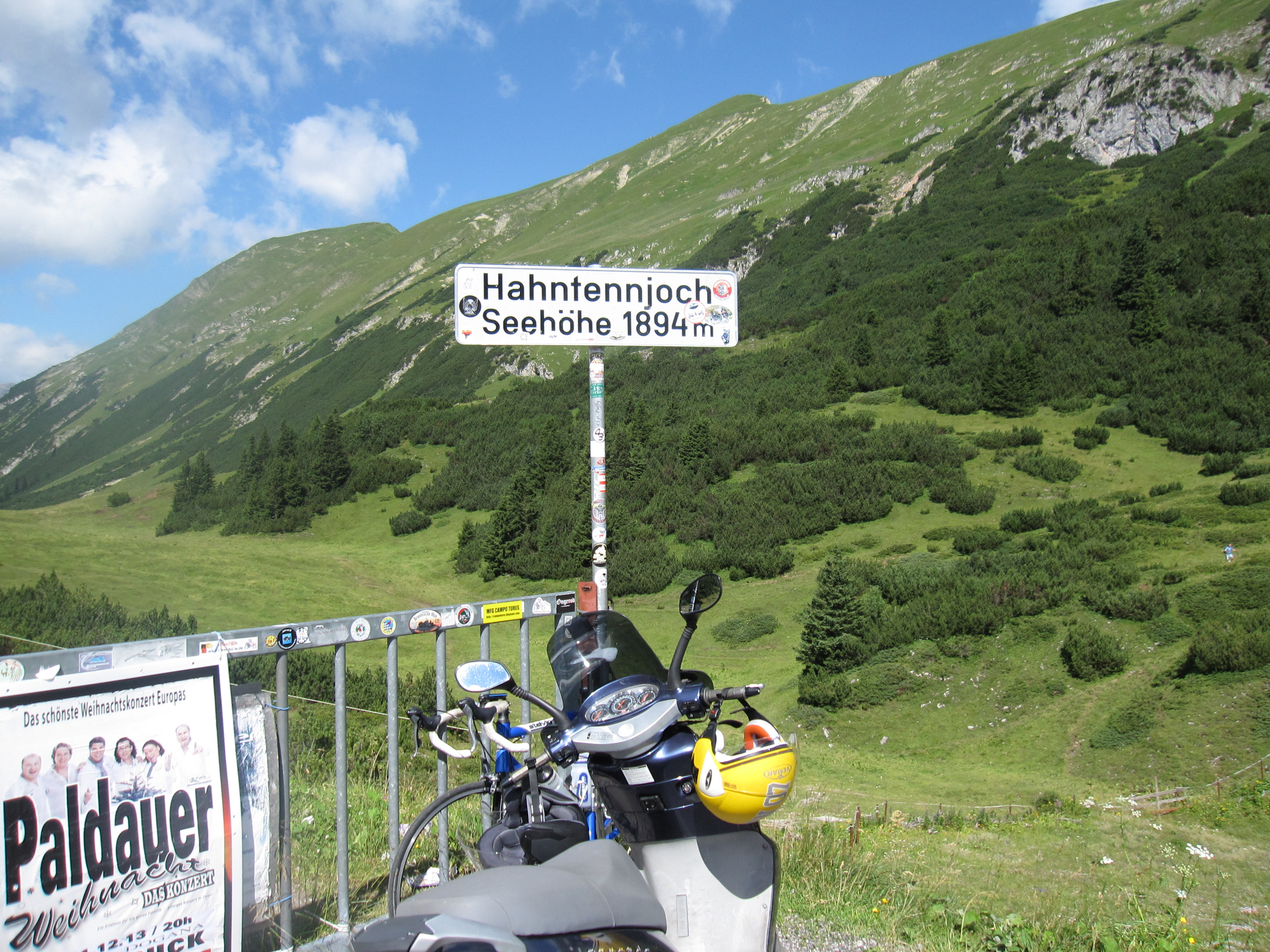
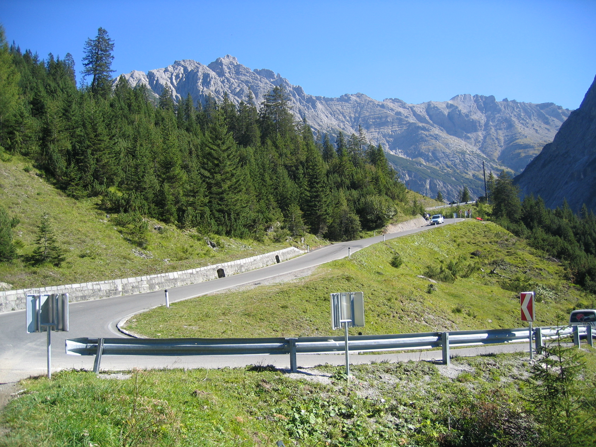

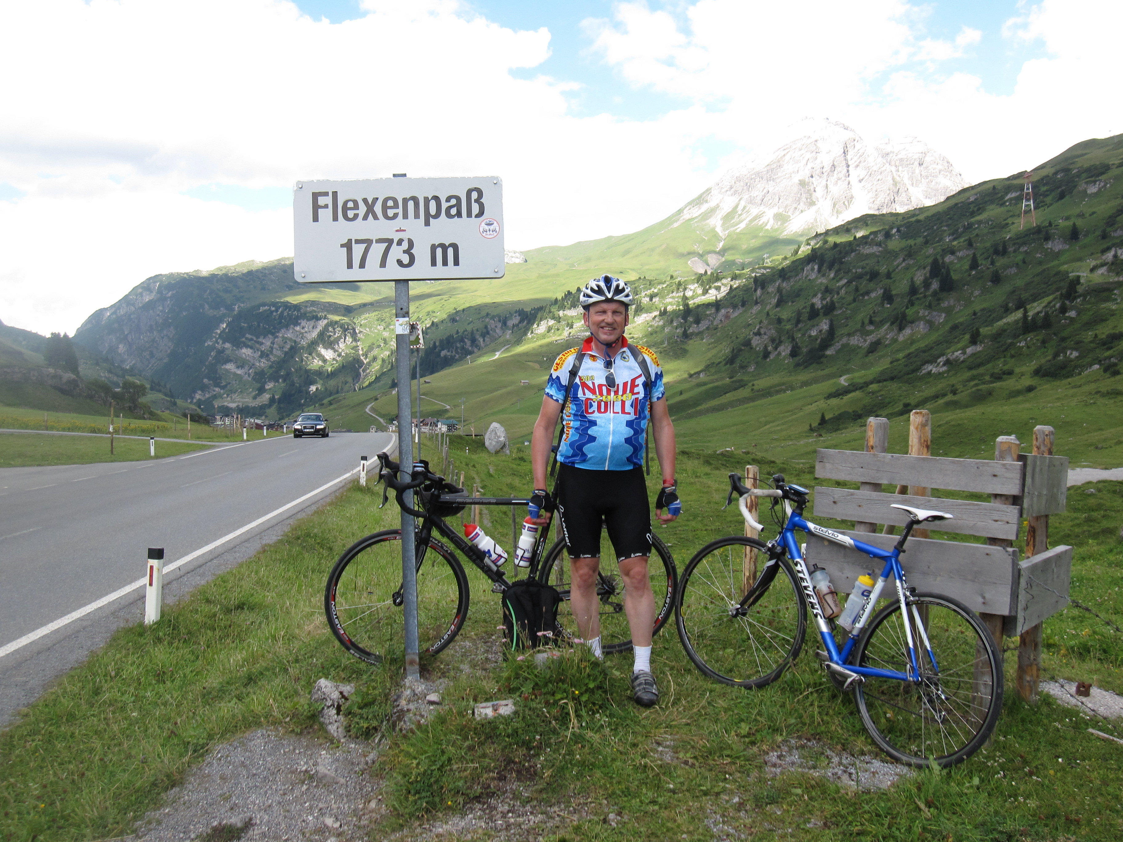
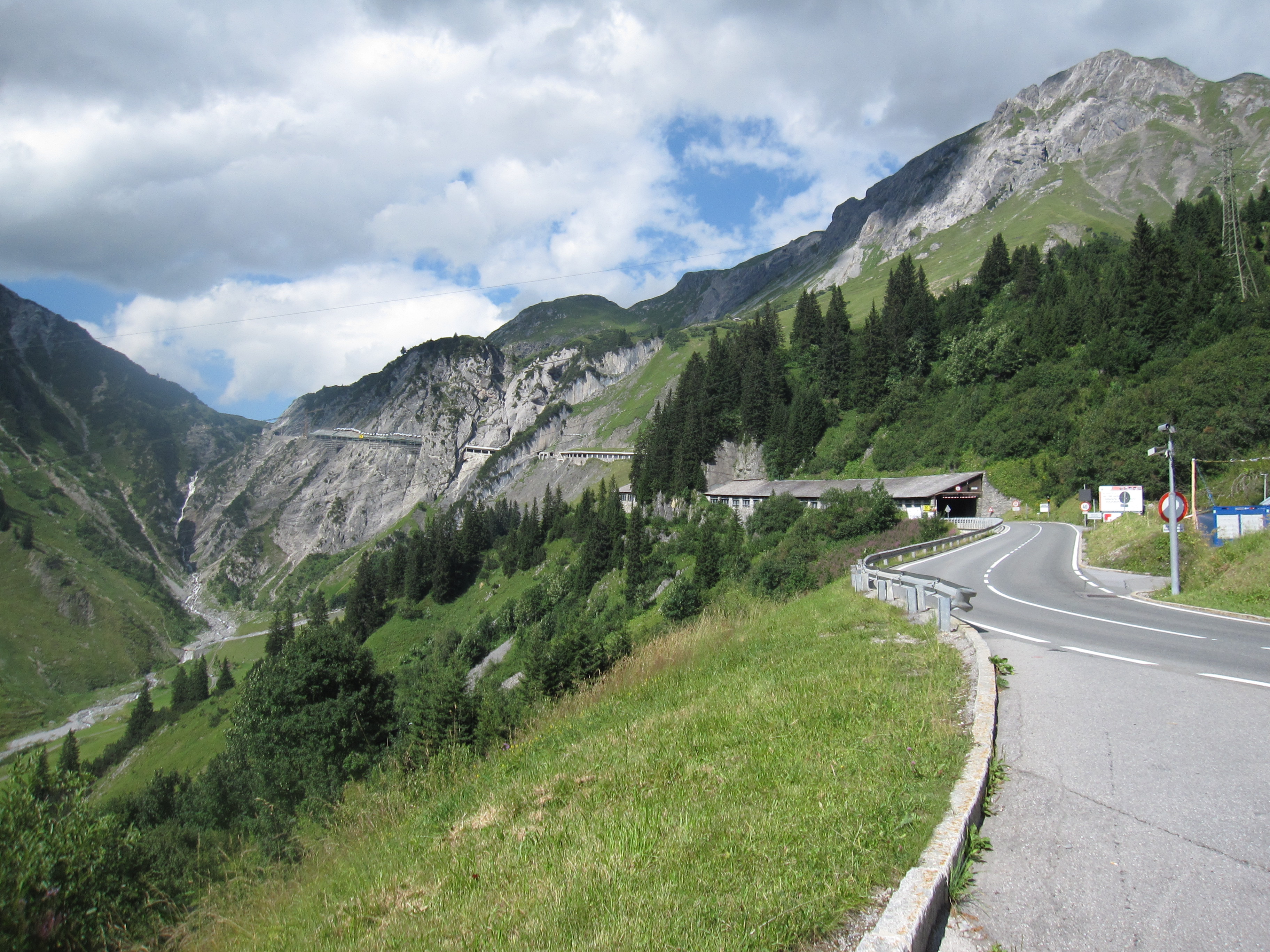
Map of the route “Hahntennjoch Arlberg”: 141,60 km, 2.435 m of climbing and 2.423 m of descent, elevation between 716 m and 1.892 m, time 09:11:12. It is a loop that starts and ends at 47.20439, 10.67396 (latitude, longitude).
Gesamtstrecke: 141.95 km
Maximale Höhe: 1892 m
Gesamtanstieg: 2435 m
Gesamtzeit: 09:11:12
Download file: Imst-Hahntennjoch-Arlberg.gpx
Maximale Höhe: 1892 m
Gesamtanstieg: 2435 m
Gesamtzeit: 09:11:12