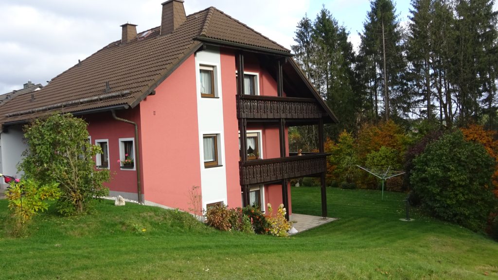
hier gibts wenig flache Strecken, dafür kaum Verkehr..
Teil des FW Marathon’s – 104 km – lockere Strecke, wenns nicht gerade 30° hat…
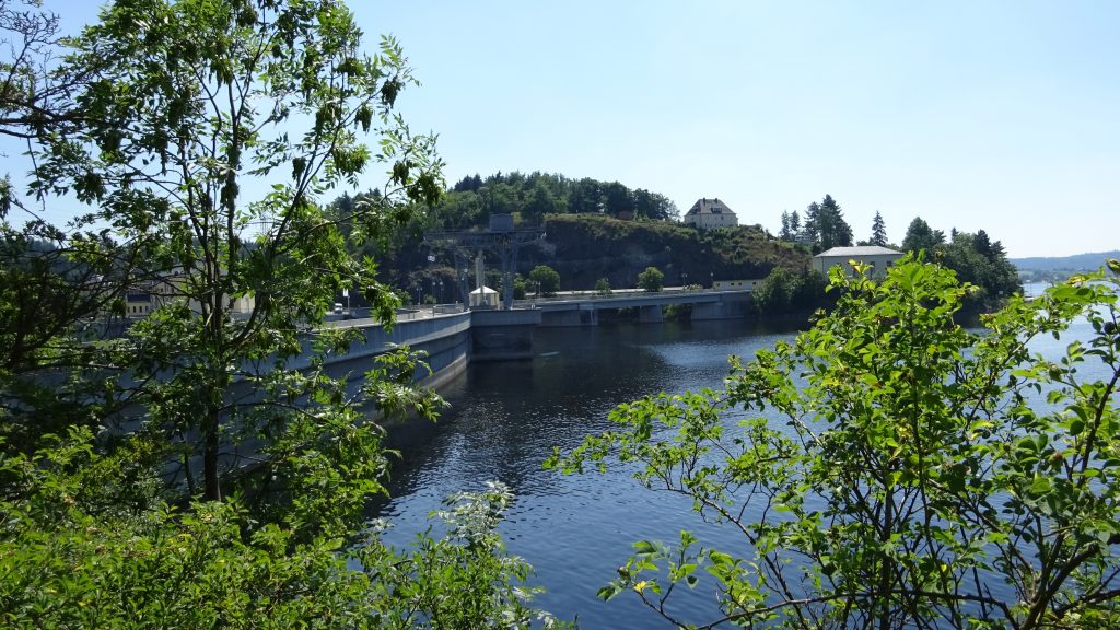
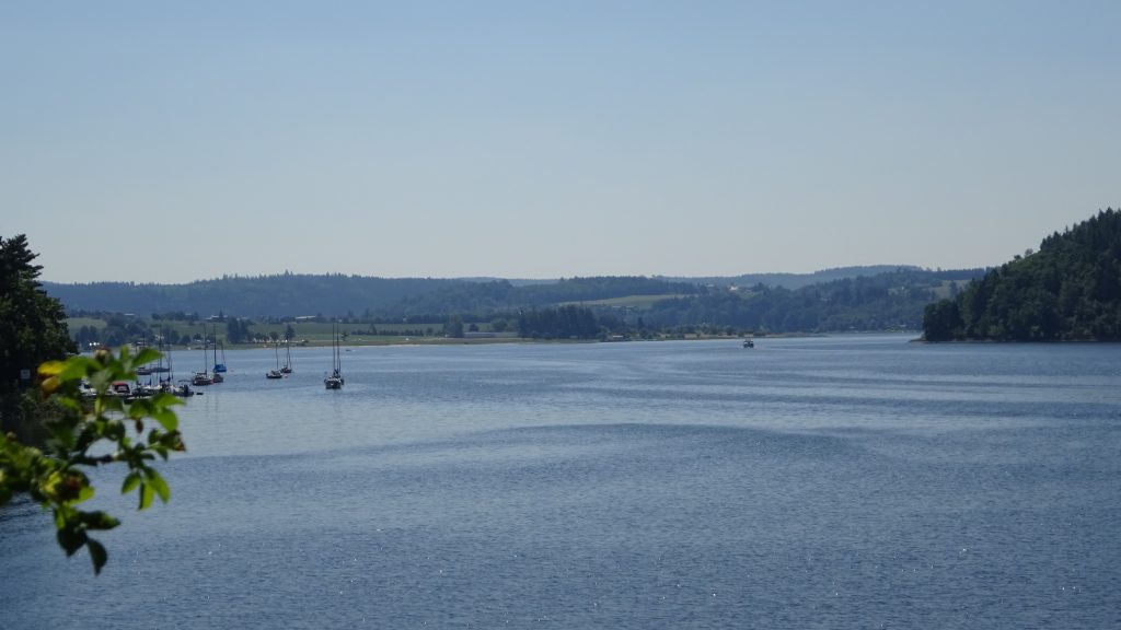
Map of the route “Frankenwald”: 104,33 km, 1.777 m of climbing and 1.784 m of descent, elevation between 374 m and 737 m, time 07:10:18. It is a loop that starts and ends at 50.36864, 11.51038 (latitude, longitude).
Gesamtstrecke: 104.47 km
Maximale Höhe: 737 m
Gesamtanstieg: 1777 m
Gesamtzeit: 07:10:26
Download file: Frankenwald-104.gpx
Maximale Höhe: 737 m
Gesamtanstieg: 1777 m
Gesamtzeit: 07:10:26
Frankenwald Radmarathon
sehr gut organisierte Veranstaltung von Stockheim aus – 120-200km
mit 2 Fanmeilen (2 steile Rampen rauf – da rührt sich der Schweinehund…)
Map of the route “Frankenwald”: 160,12 km, 3.137 m of climbing and 3.129 m of descent, elevation between 343 m and 703 m, time 16:02:56. It starts at 50.30942, 11.27925 and ends at 50.30696, 11.27924 (latitude, longitude).
Gesamtstrecke: 160.66 km
Maximale Höhe: 703 m
Gesamtanstieg: 3137 m
Gesamtzeit: 16:02:56
Download file: FrankenwaldRadmarathon-2015-165.gpx
Maximale Höhe: 703 m
Gesamtanstieg: 3137 m
Gesamtzeit: 16:02:56