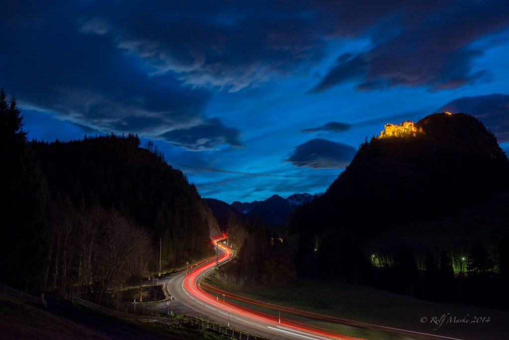
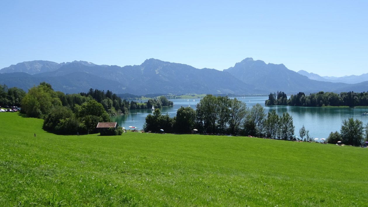
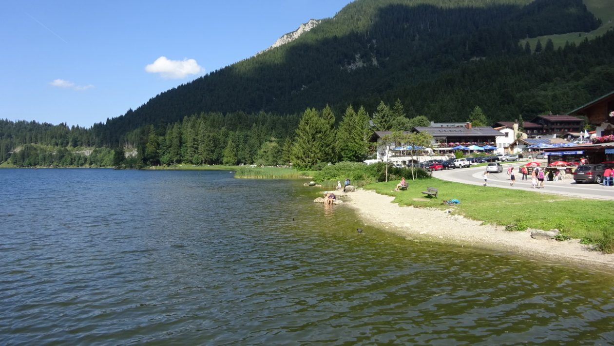
von Ettal über den Plansee nach Füssen – Forggensee – Wieskirche – Oberammergau
die Strecke Ettal – Linderhof – Plansee ist für den Motorisierten Verkehr am WE sehr beliebt, daher Früh aufbrechen…
Abwandlung 2019 – nach Reutte links rum
Map of the route “Ettal – Reutte – Wies”: 118,73 km, 993 m of climbing and 992 m of descent, elevation between 737 m and 1.124 m, time 05:34:20. It starts at 47.56723, 11.09597 and ends at 47.56847, 11.09394 (latitude, longitude).
Maximale Höhe: 1124 m
Gesamtanstieg: 993 m
Gesamtzeit: 05:34:20
Abwandlung 2017 – über Riesen
super Strecke, wenn man hinter Reutte ist, vorher teils reger Ausflugsverkehr
Map of the route “Ettal – Reutte – Wies”: 121,97 km, 1.404 m of climbing and 1.367 m of descent, elevation between 751 m and 1.115 m, time 07:16:25. It is a loop that starts and ends at 47.56720, 11.09614 (latitude, longitude).
Maximale Höhe: 1115 m
Gesamtanstieg: 1404 m
Gesamtzeit: 07:16:25
Abwandlung 2016 nicht über Lechbruck
Map of the route “Ettal – Reutte – Wies”: 114,30 km, 1.384 m of climbing and 1.371 m of descent, elevation between 721 m and 1.084 m, time 06:51:58. It starts at 47.56969, 11.06935 and ends at 47.56862, 11.09693 (latitude, longitude).
Maximale Höhe: 1084 m
Gesamtanstieg: 1384 m
Gesamtzeit: 06:51:58
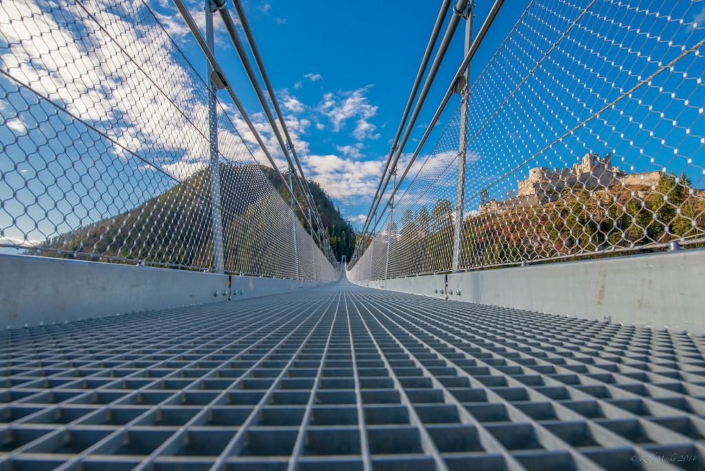
2015 zur highline179 Brücke
Map of the route “Ettal – Reutte – Wies”: 126,28 km, 1.099 m of climbing and 1.068 m of descent, elevation between 686 m and 1.070 m, time 12:38:02. It is a loop that starts and ends at 47.56771, 11.09687 (latitude, longitude).
Maximale Höhe: 1070 m
Gesamtanstieg: 1099 m
Gesamtzeit: 12:38:12