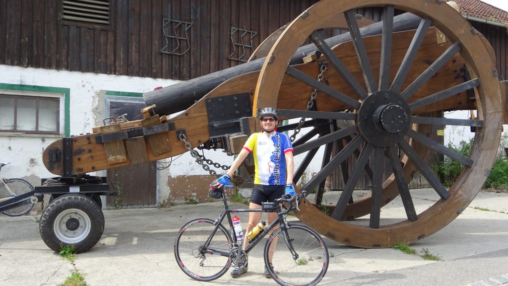
2017: Höhenkirchen – Wasserburg
– irrtümlich die Strecke anders rum gefahren – tolle Bergsicht hinzu,
– noch nicht ganz optimal, Strecke kurzzeitig schottrig
Map of the route “Wasserburg”: 116,33 km, 1.472 m of climbing and 1.462 m of descent, elevation between 427 m and 616 m, time 08:15:44. It starts at 48.02540, 11.70096 and ends at 48.02330, 11.70237 (latitude, longitude).
Gesamtstrecke: 116.59 km
Maximale Höhe: 616 m
Gesamtanstieg: 1472 m
Gesamtzeit: 08:15:48
Download file: Wasserburg-2017.gpx
Maximale Höhe: 616 m
Gesamtanstieg: 1472 m
Gesamtzeit: 08:15:48
2015: Höhenkirchen-Wasserburg – sehr schöne Rückfahrt – bei über 30° – 115km
Map of the route “Wasserburg”: 114,39 km, 1.735 m of climbing and 1.757 m of descent, elevation between 424 m and 623 m, time 07:03:13. It is a loop that starts and ends at 48.02478, 11.70166 (latitude, longitude).
Gesamtstrecke: 114.6 km
Maximale Höhe: 623 m
Gesamtanstieg: 1735 m
Gesamtzeit: 07:03:13
Download file: Wasserburg.gpx
Maximale Höhe: 623 m
Gesamtanstieg: 1735 m
Gesamtzeit: 07:03:13