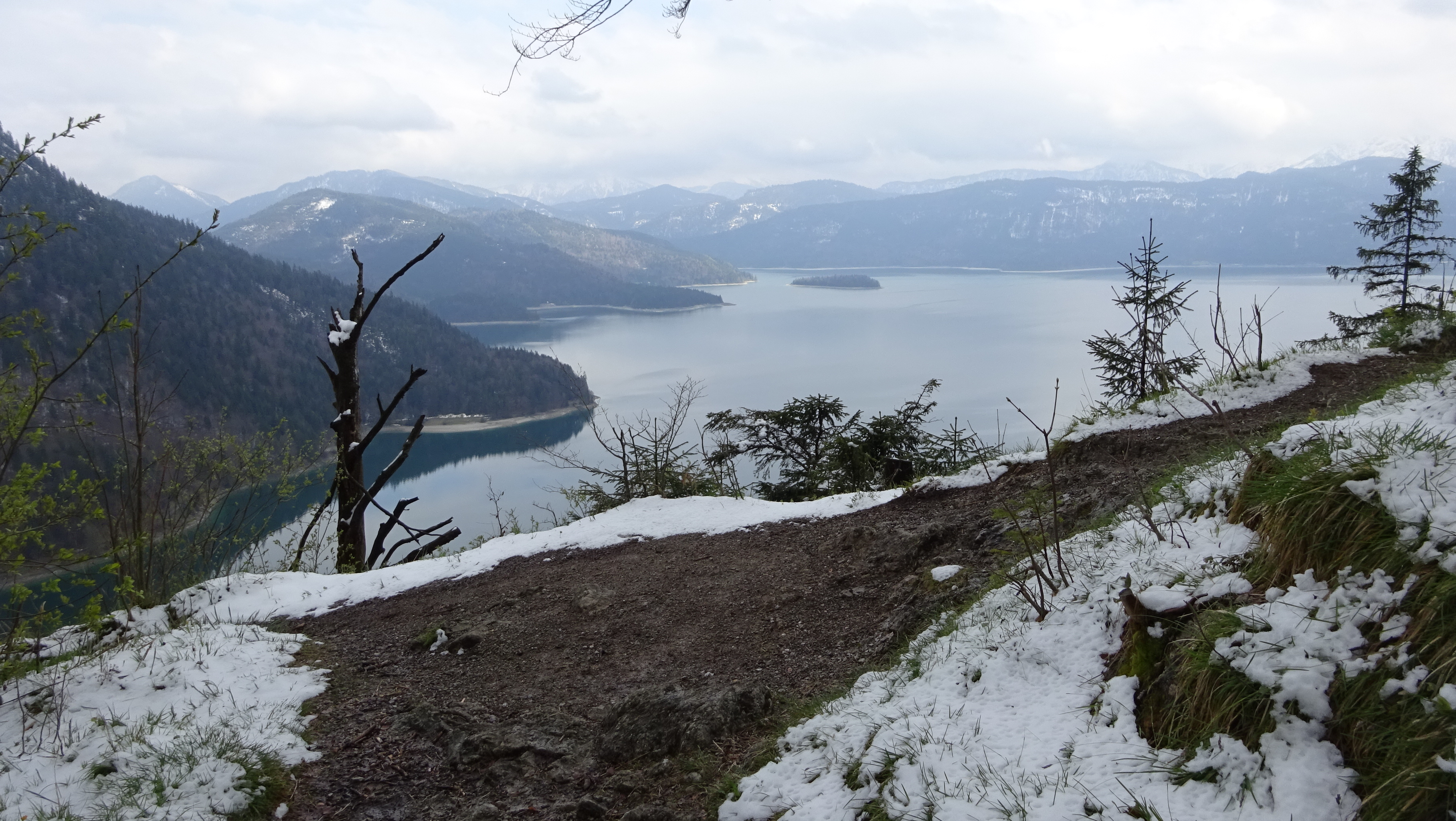
Ende April 2017
da hats nochmal sauber geschneit.
Bei 6 Grad wars a bisserl frisch zum Radlfahren
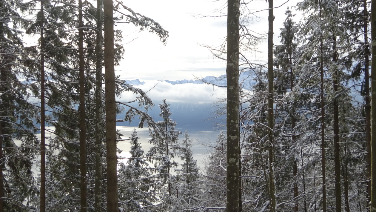
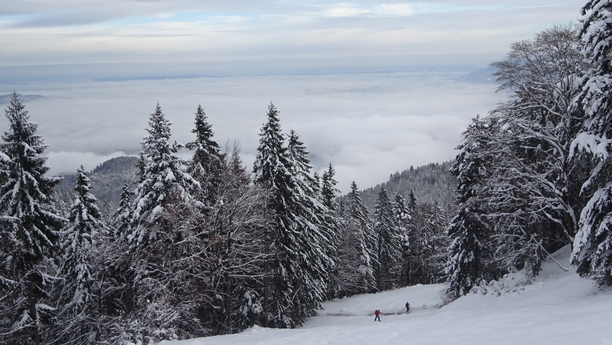
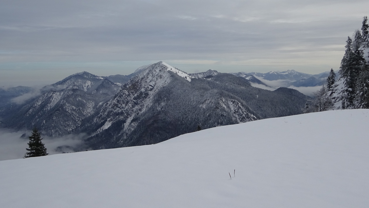
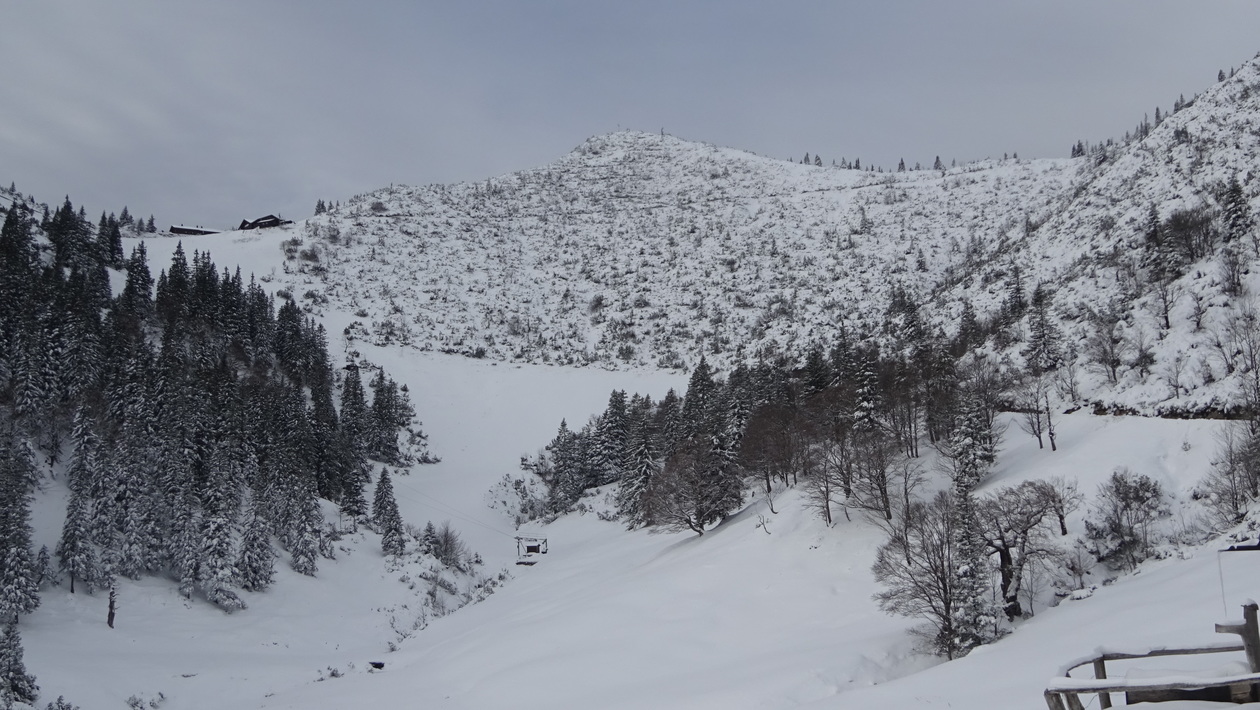
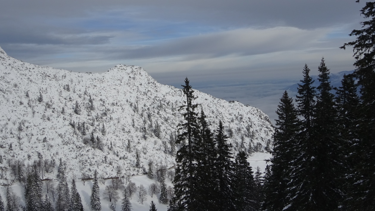
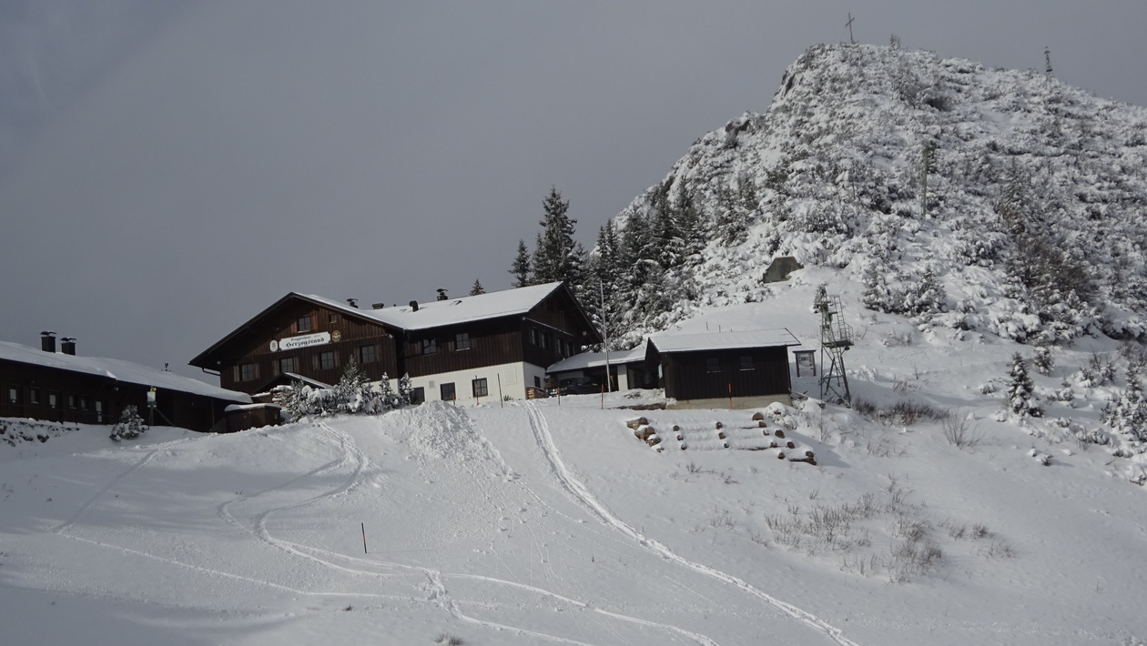
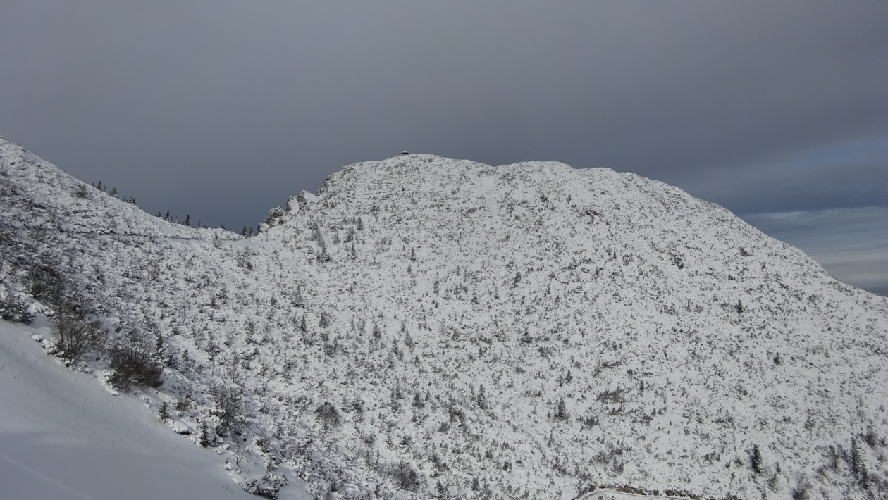
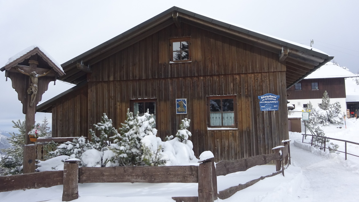
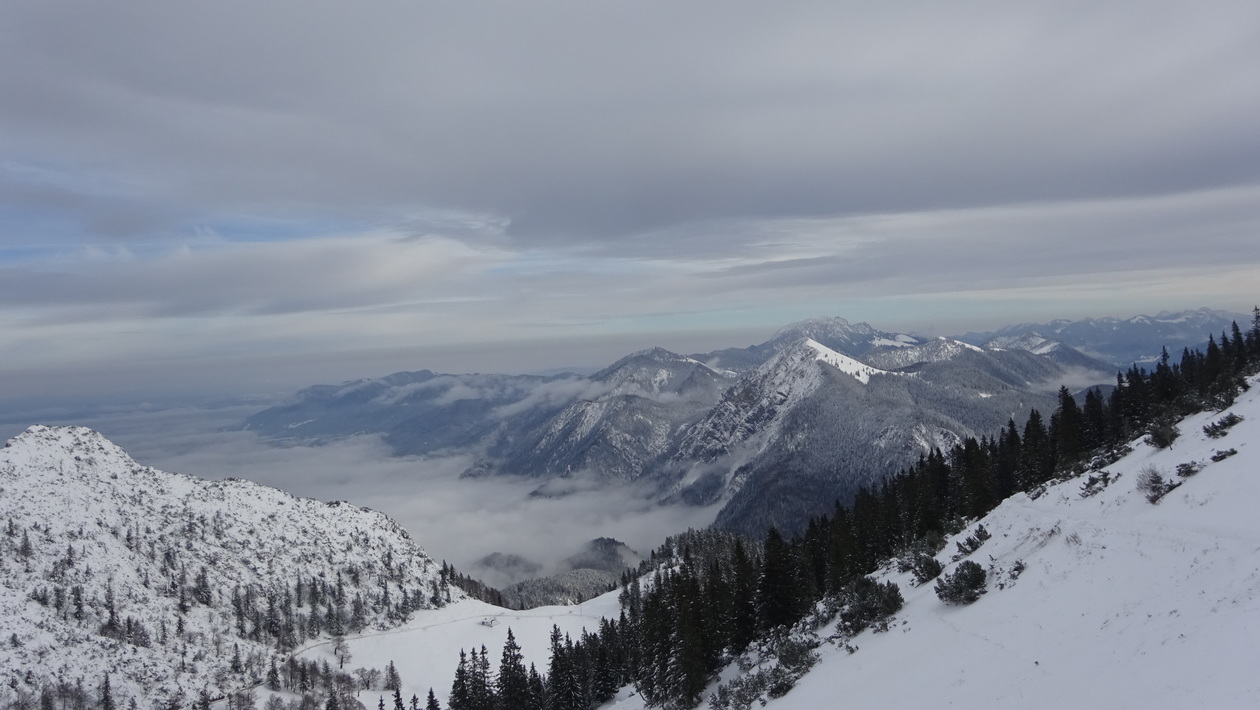
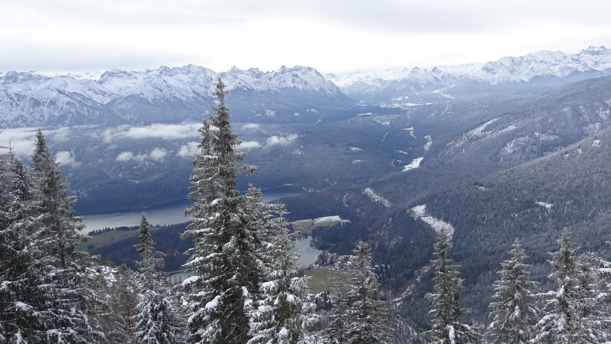
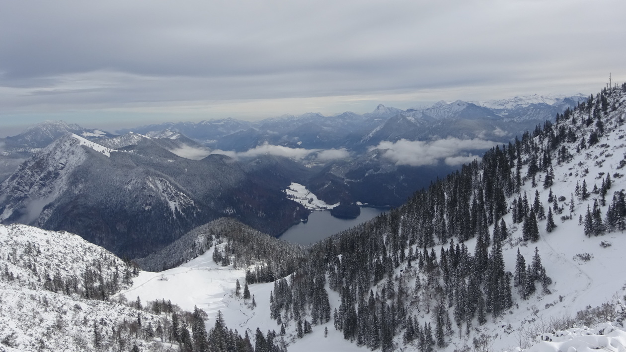
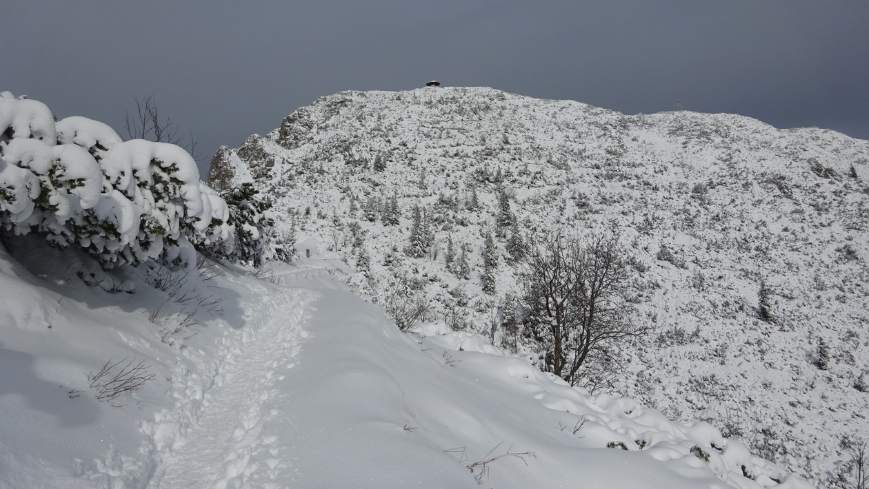
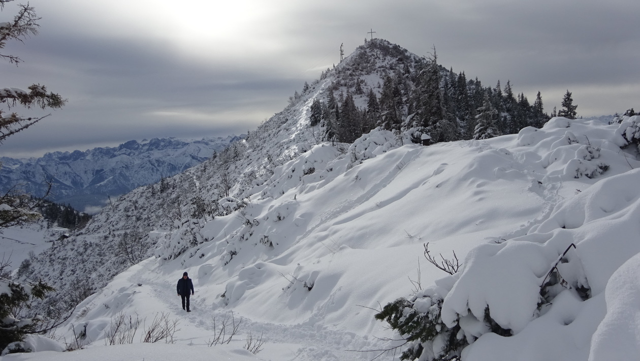
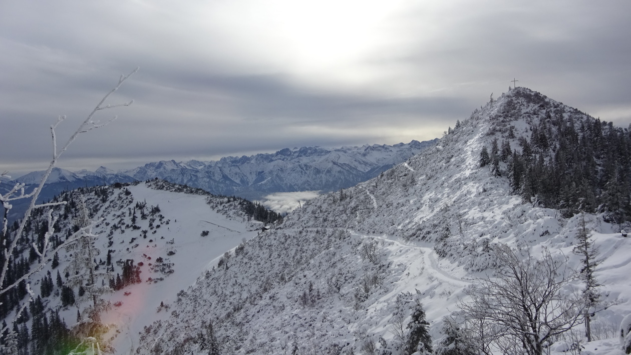
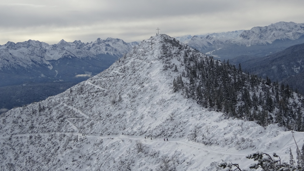
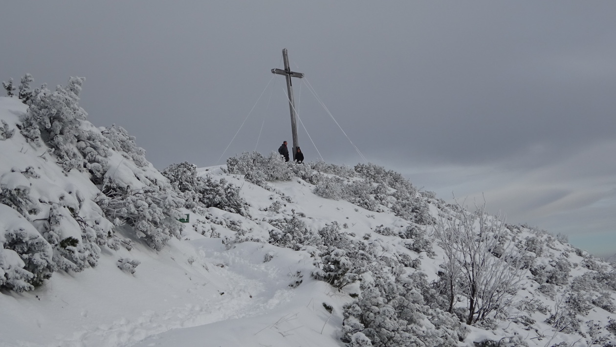
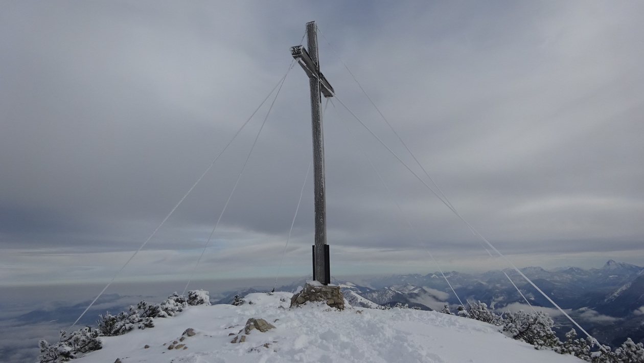
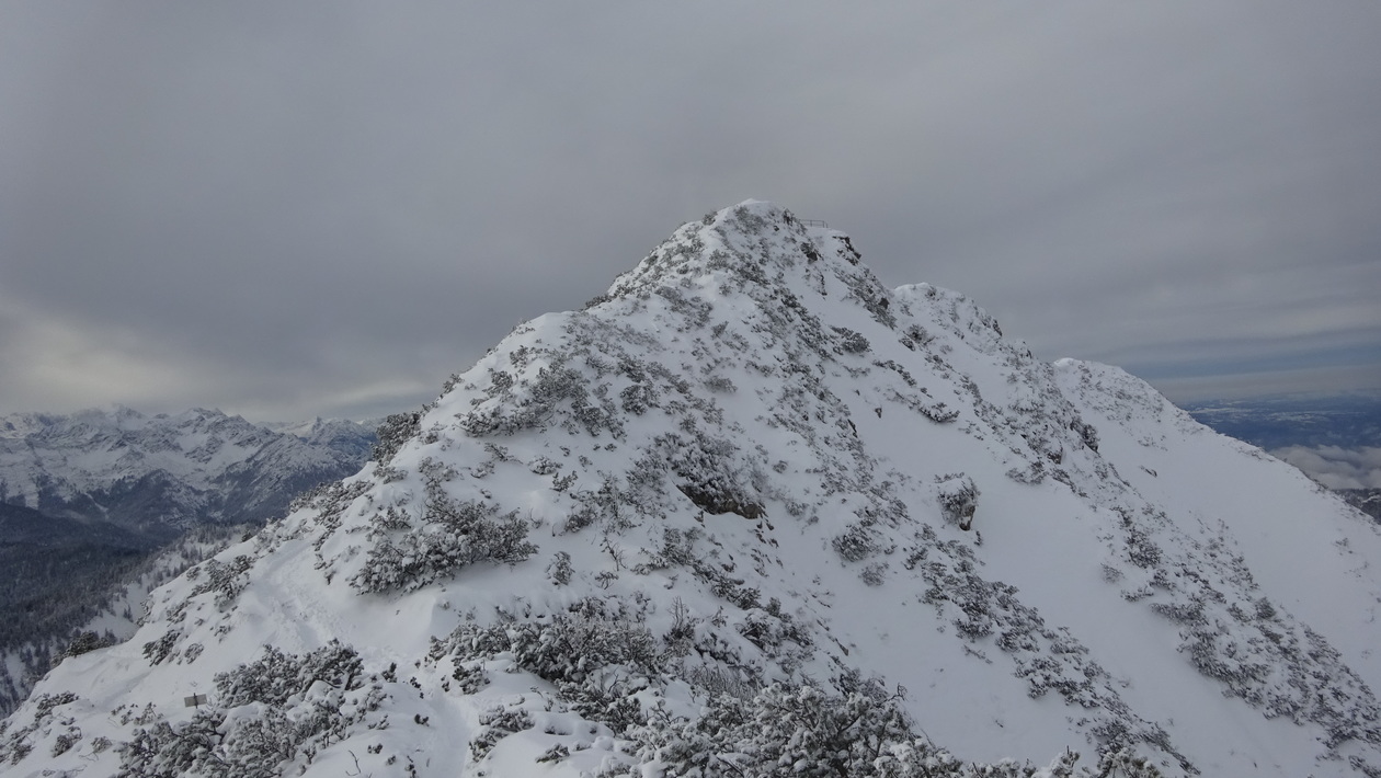
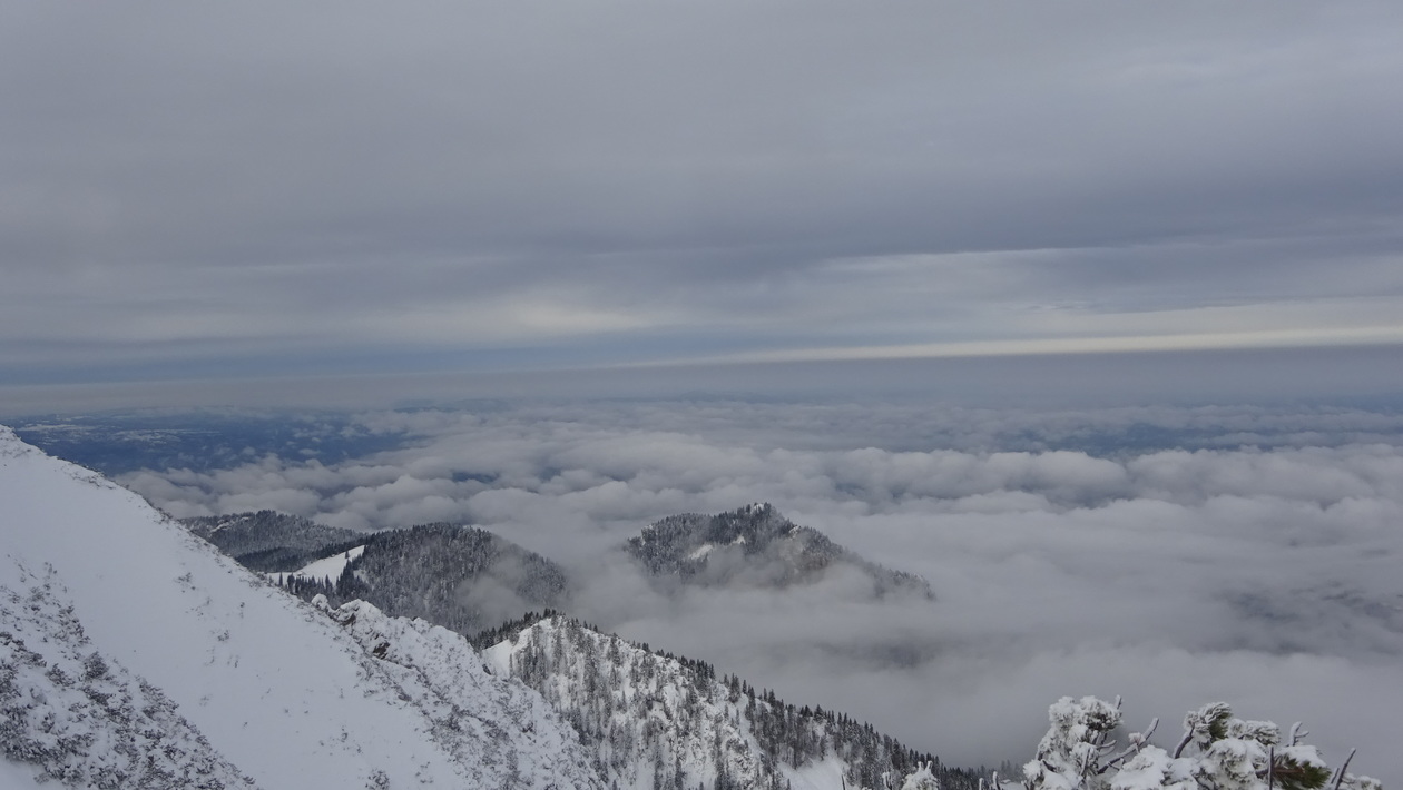
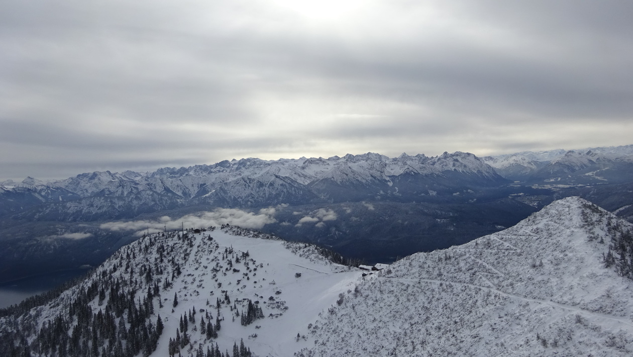
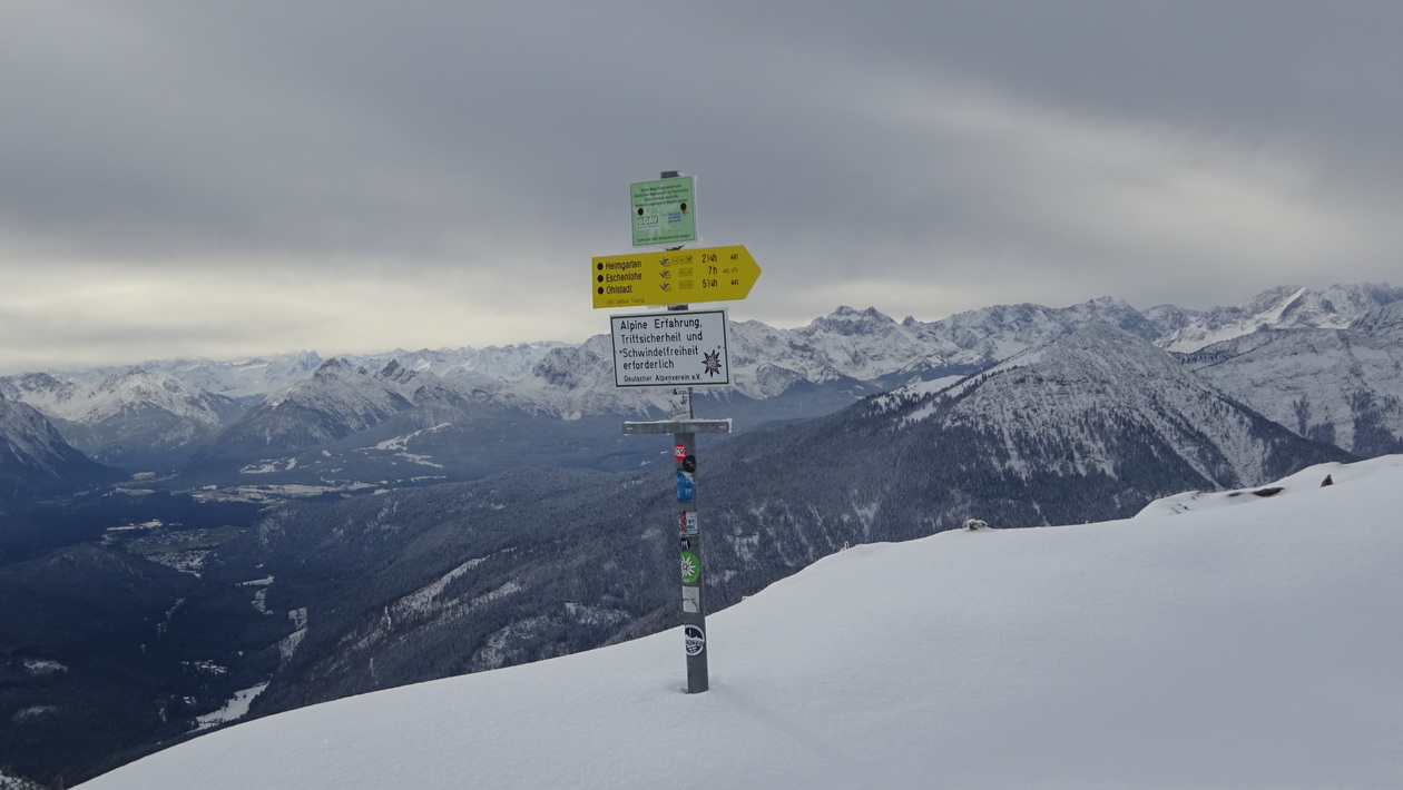
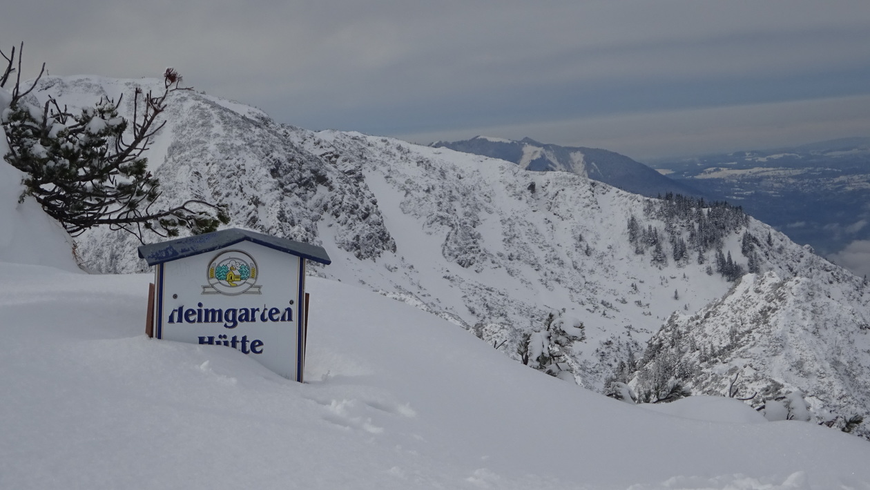
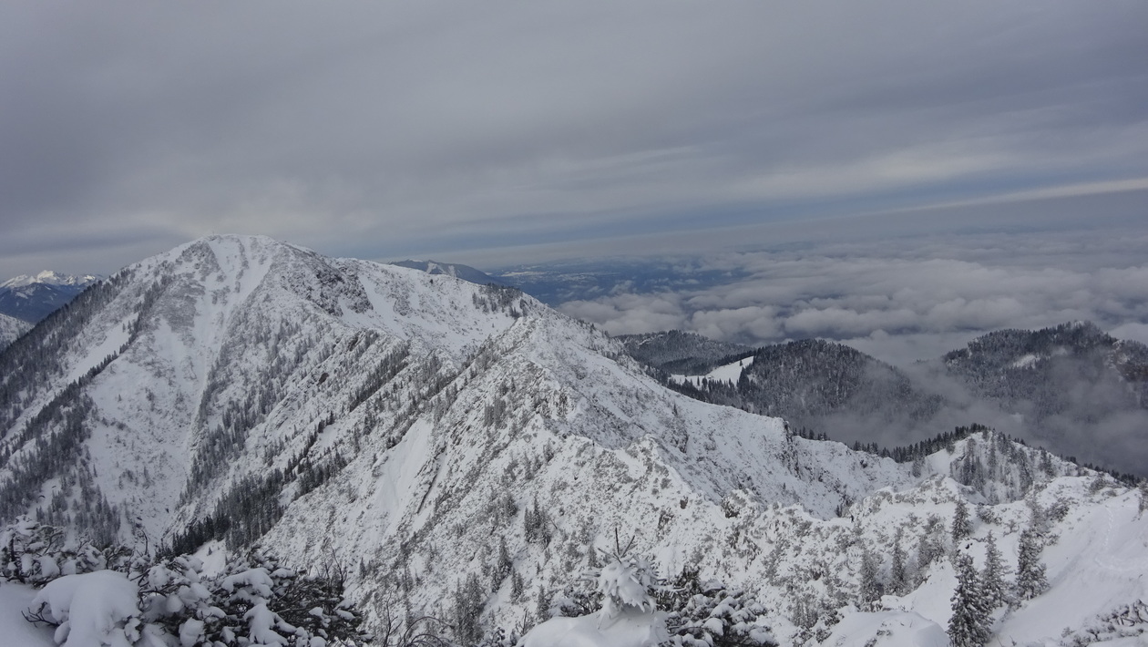
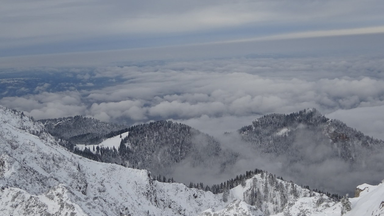
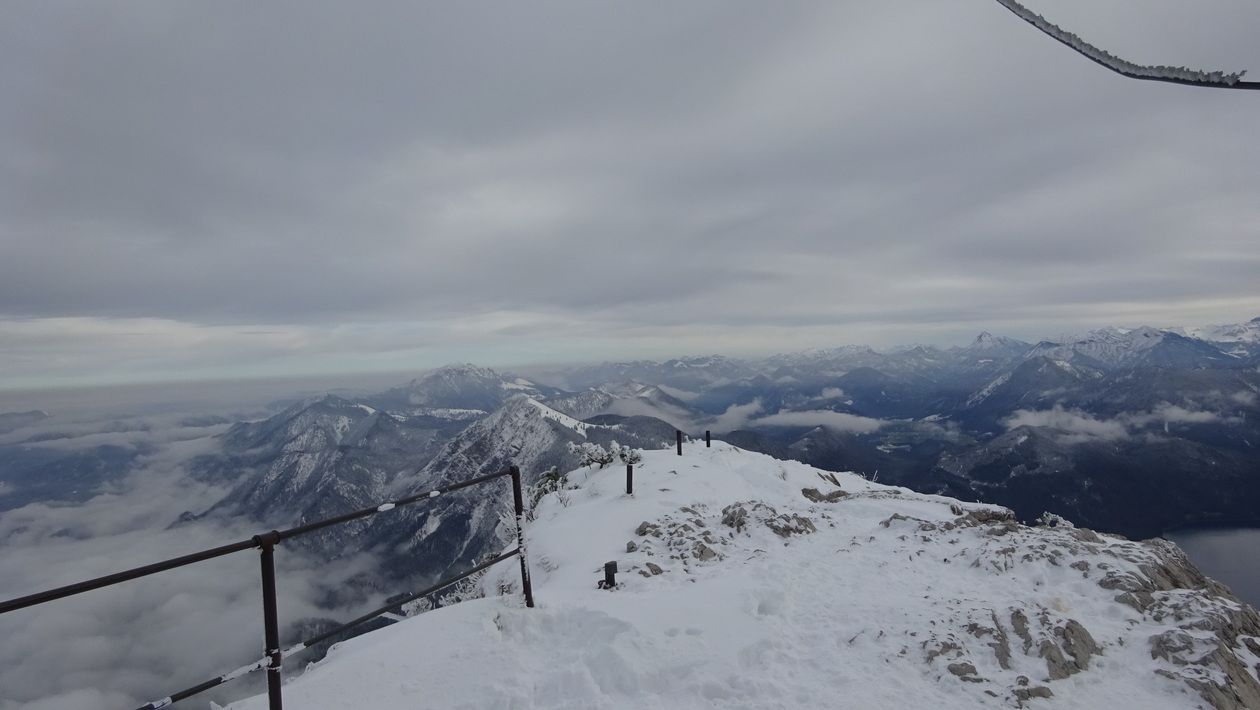
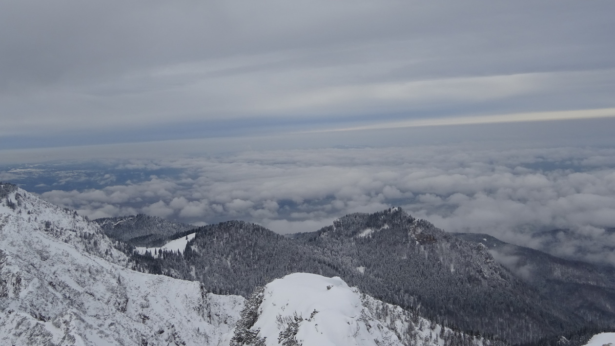
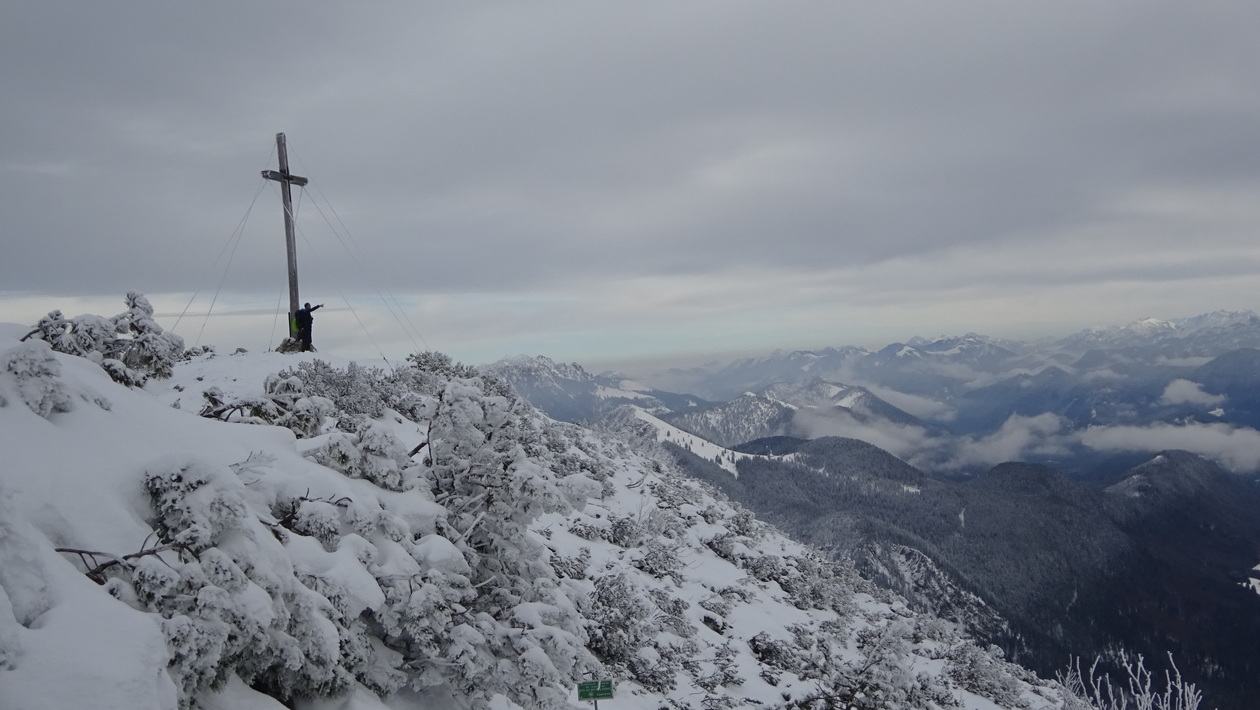
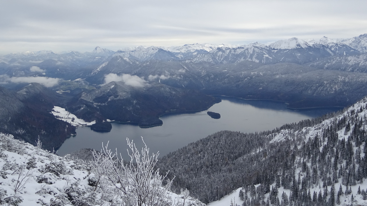
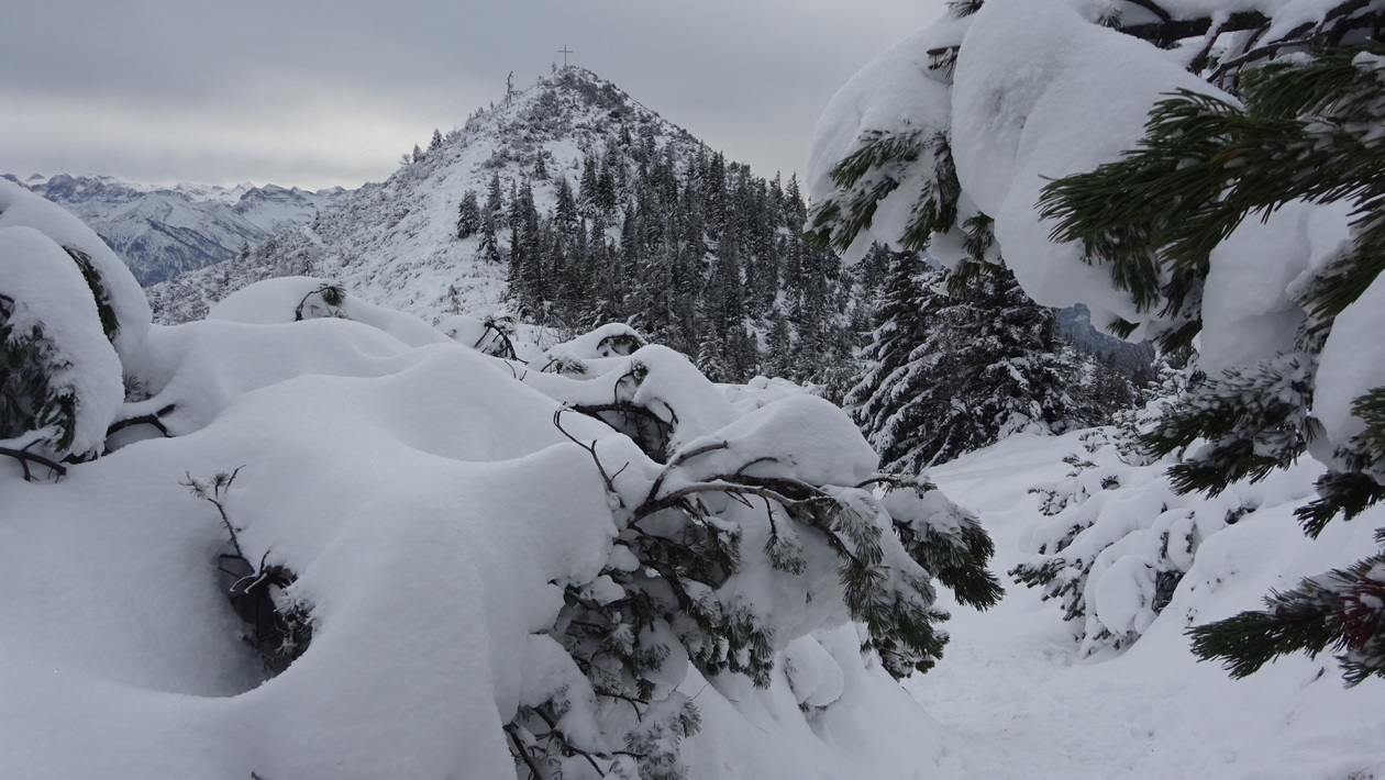
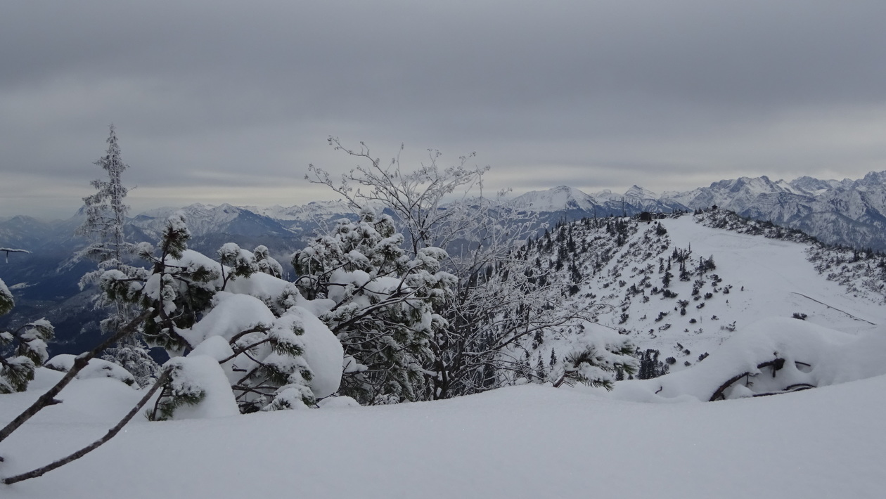
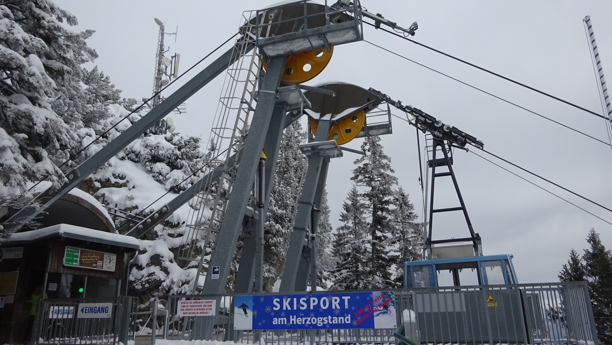
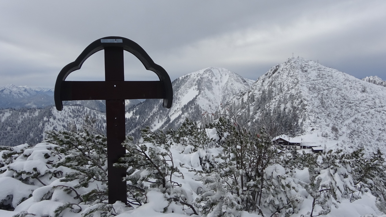
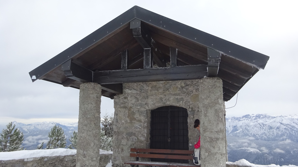
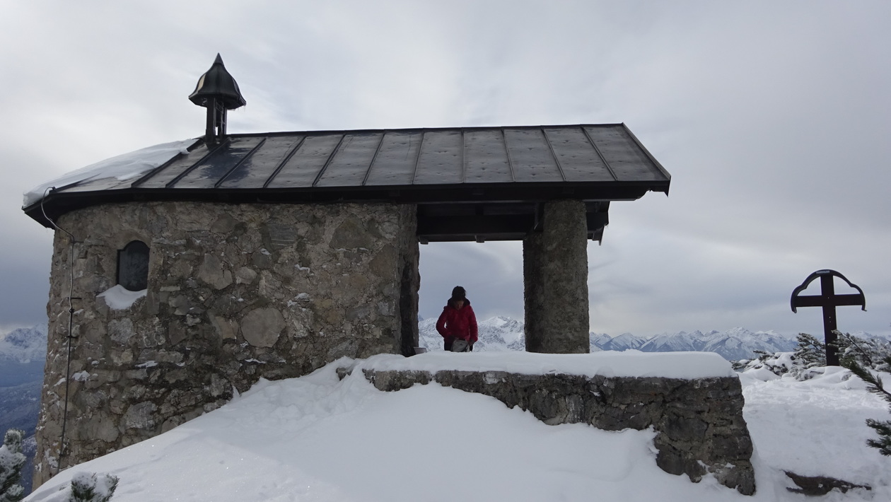
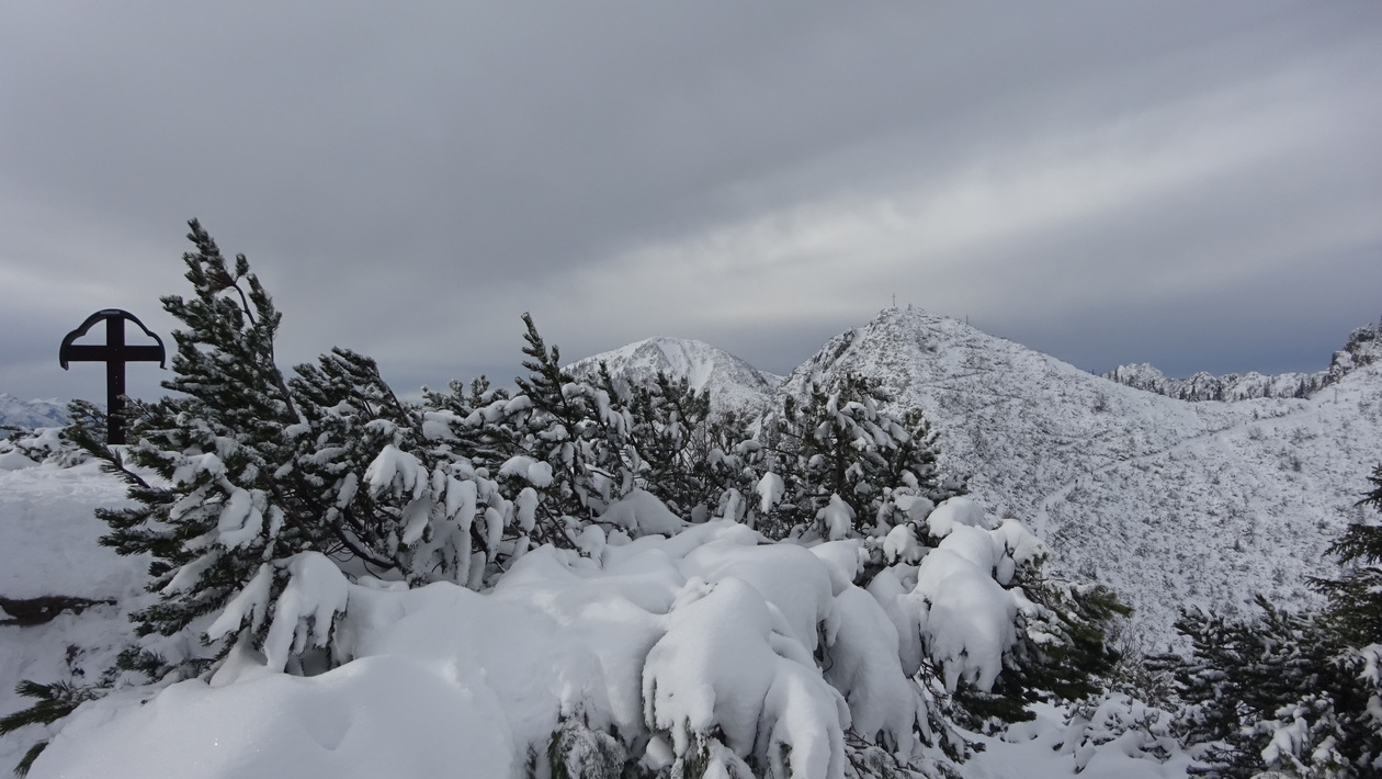
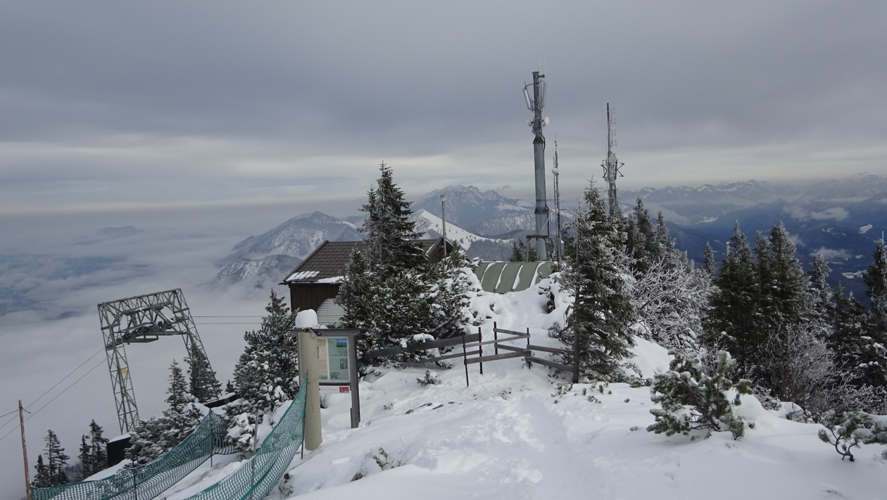
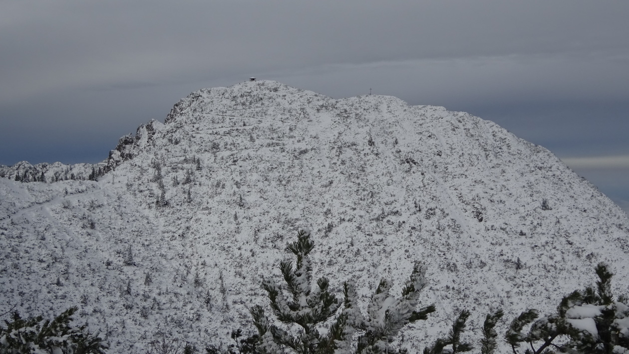
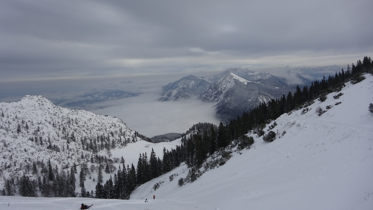
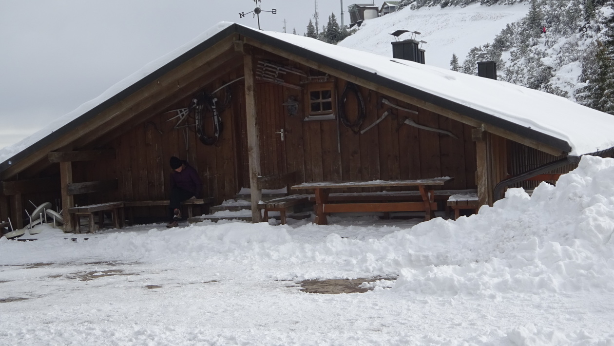
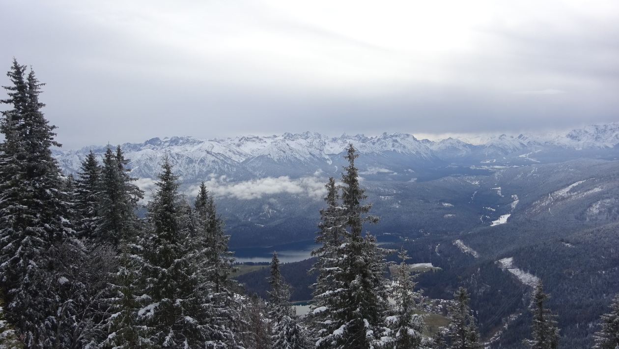
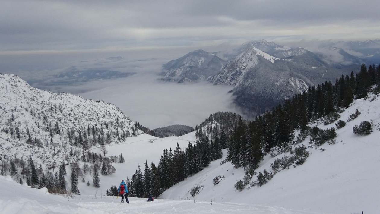
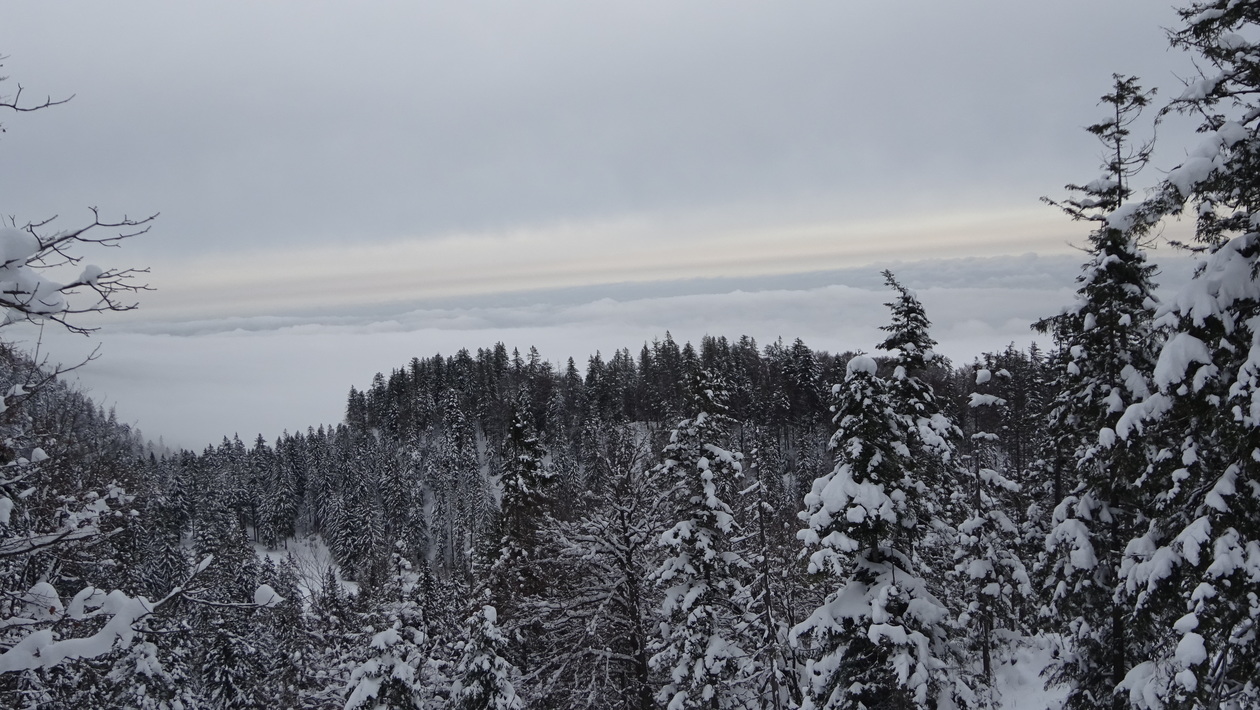
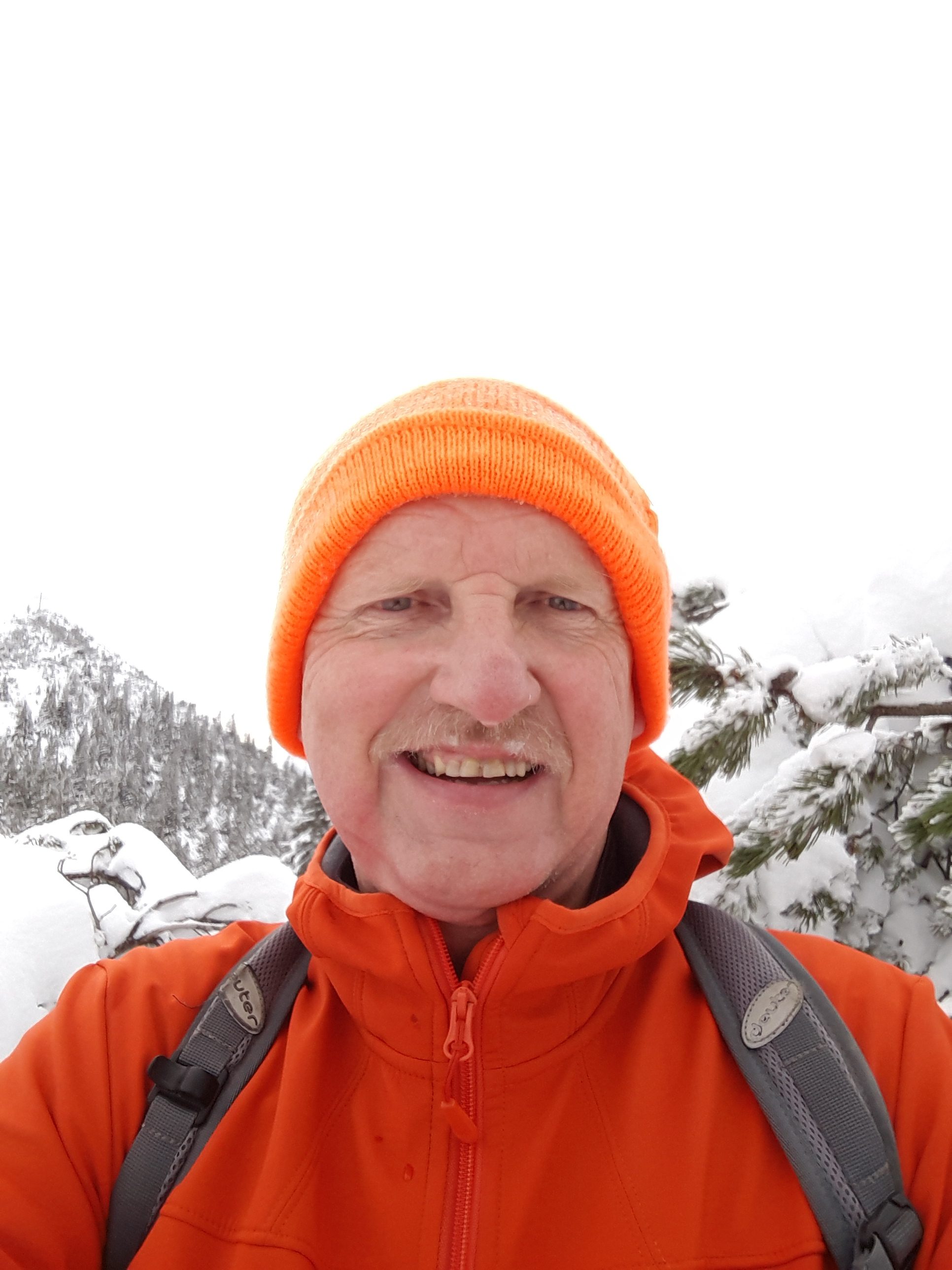
Herzogstand Mitte November
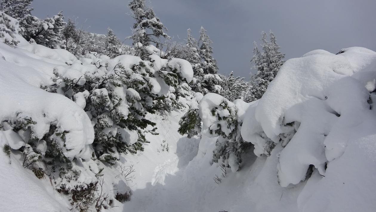
-soviel Schnee hat’s oben den ganzen letzten Winter nicht gehabt
da geht meist nur die sichere Variante über den Reitweg, der fast immer geräumt ist
schaut a bisserl anders aus, wie im Sommer…

Map of the route “Herzogstand – Schnee”: 14,97 km, 876 m of climbing and 904 m of descent, elevation between 932 m and 1.778 m, time 04:42:28. It starts at 47.61995, 11.34471 and ends at 47.62075, 11.34904 (latitude, longitude).
Gesamtstrecke: 14.98 km
Maximale Höhe: 1778 m
Gesamtanstieg: 876 m
Gesamtzeit: 04:42:33
Download file: Herzogstand-Winter.gpx
Maximale Höhe: 1778 m
Gesamtanstieg: 876 m
Gesamtzeit: 04:42:33