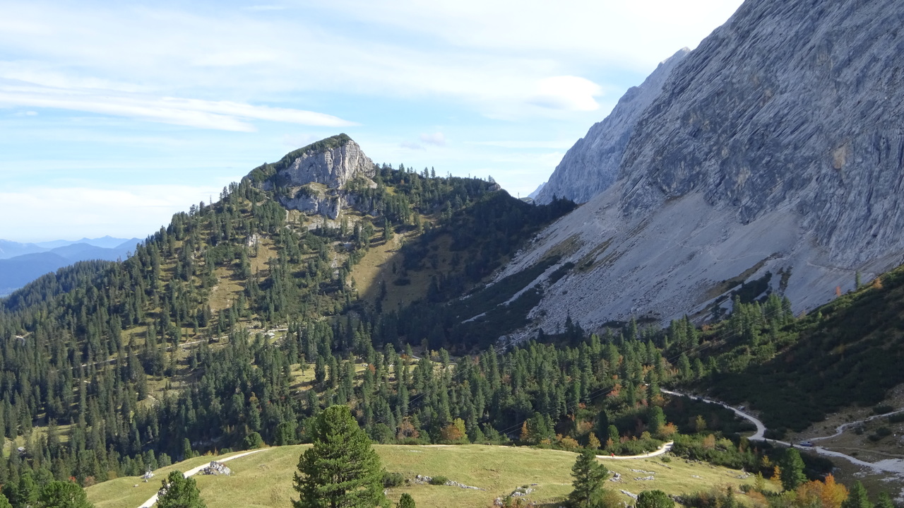
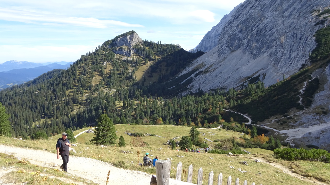
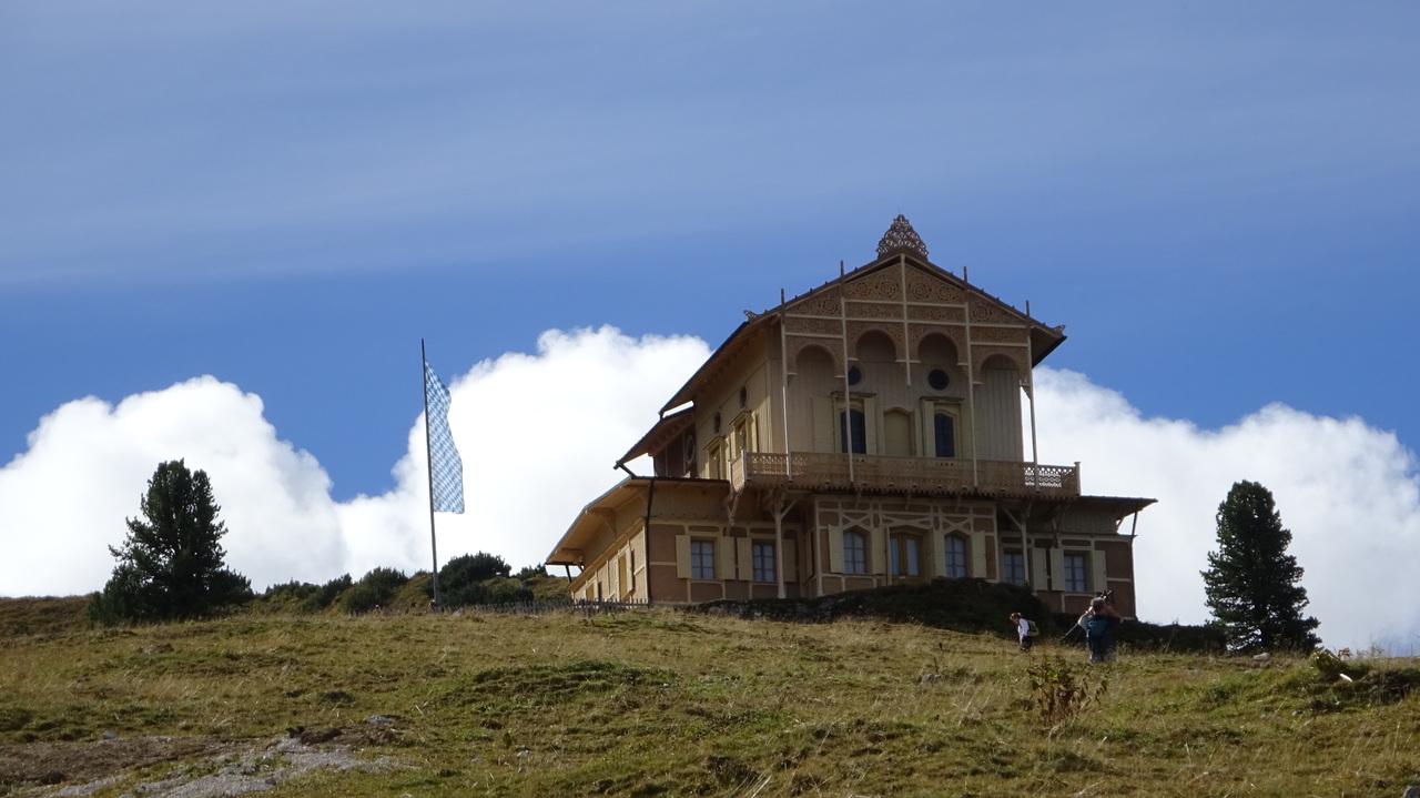
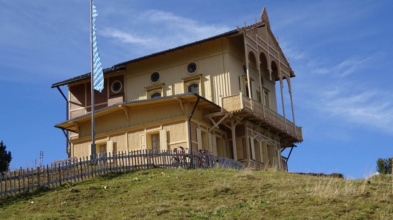
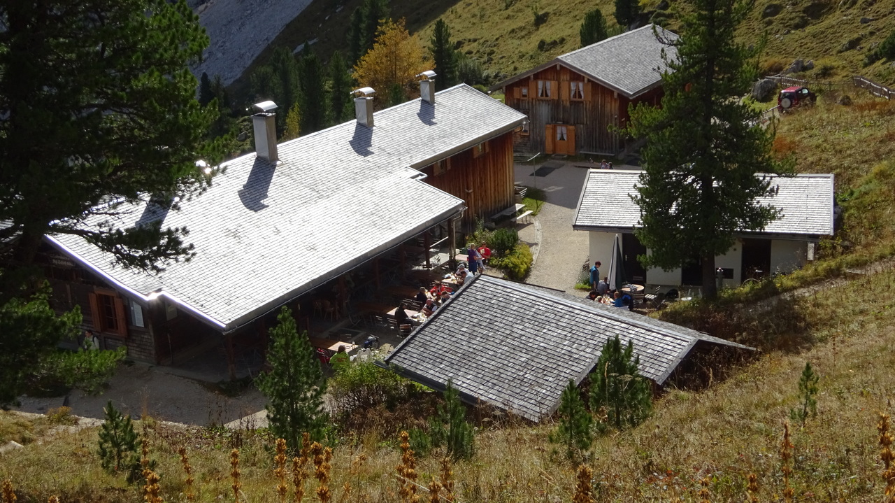
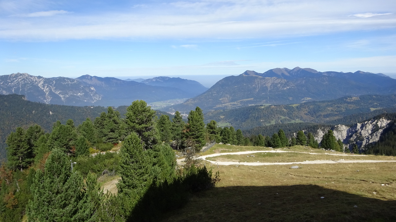
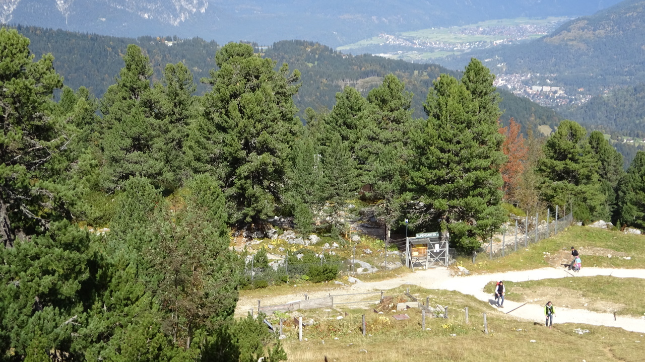
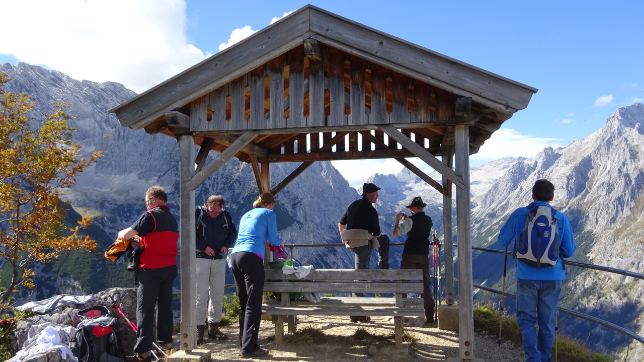
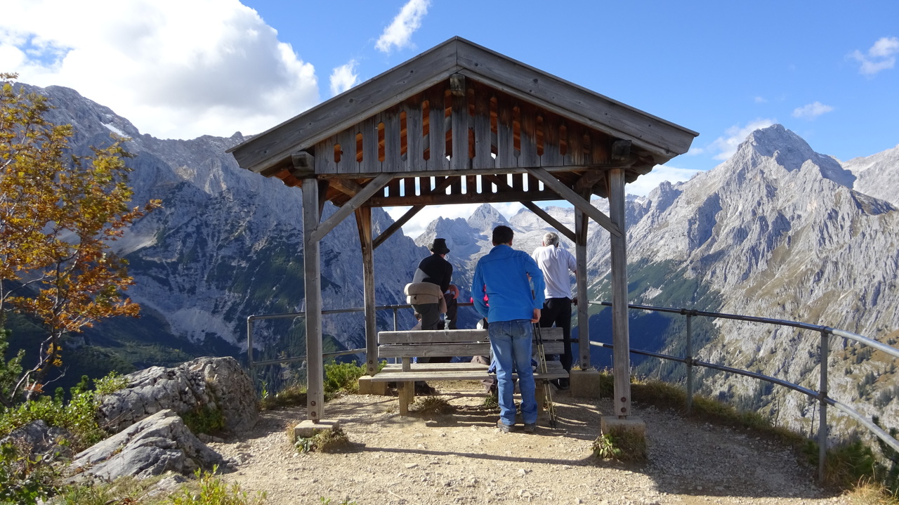
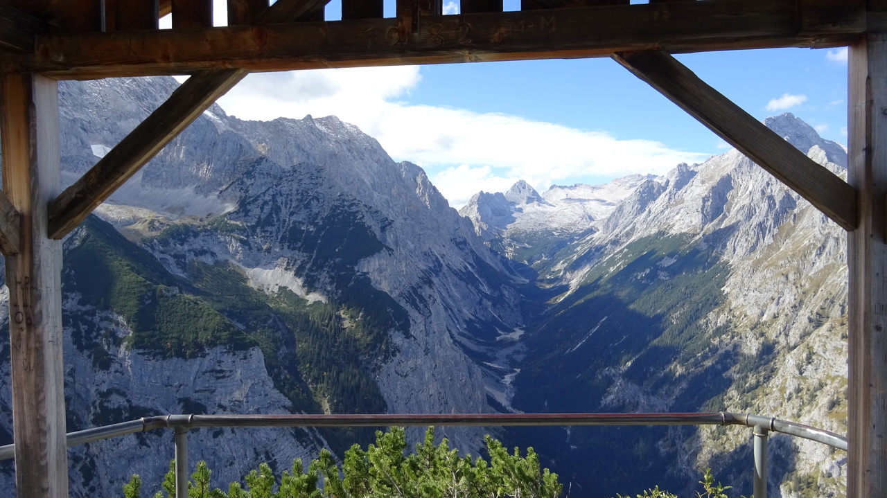
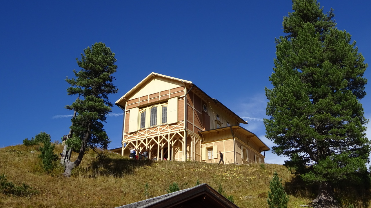
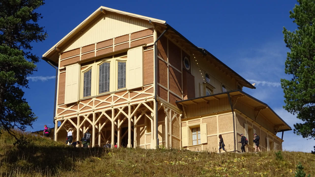
erste Bergwanderung seit langem, langer Zieher zum Schachen rauf, mit dem Radl gings schneller…

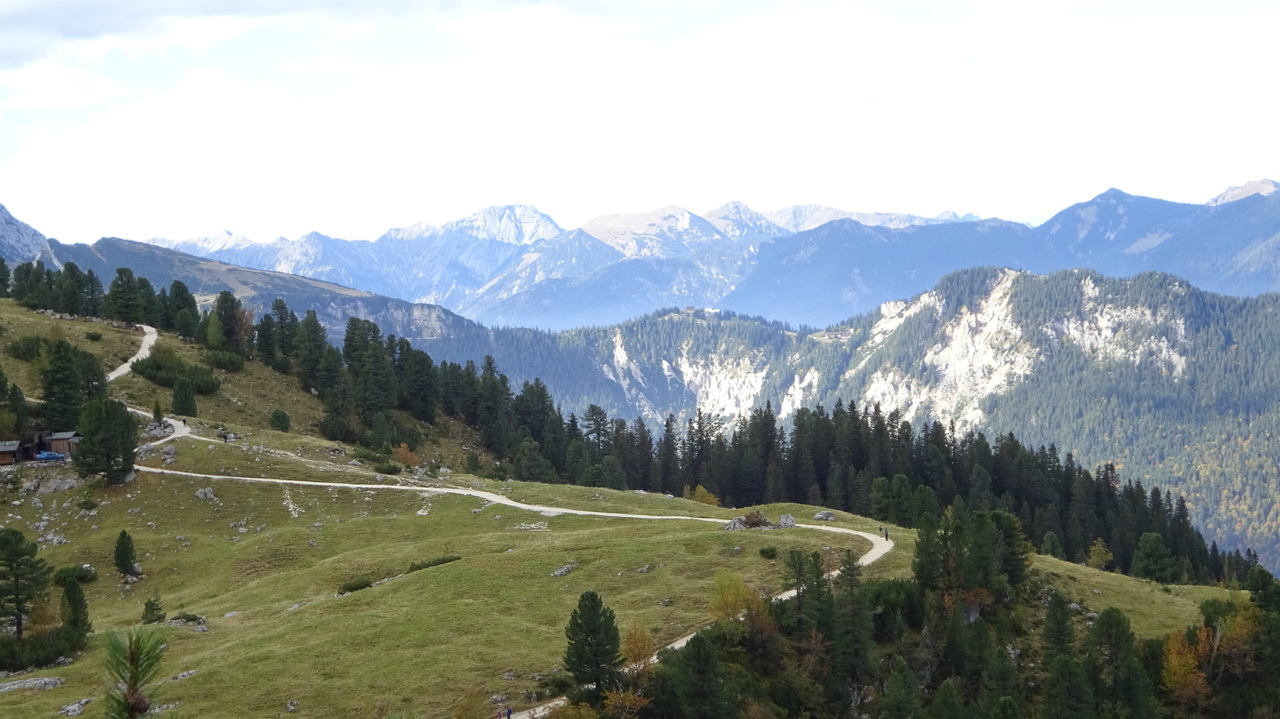
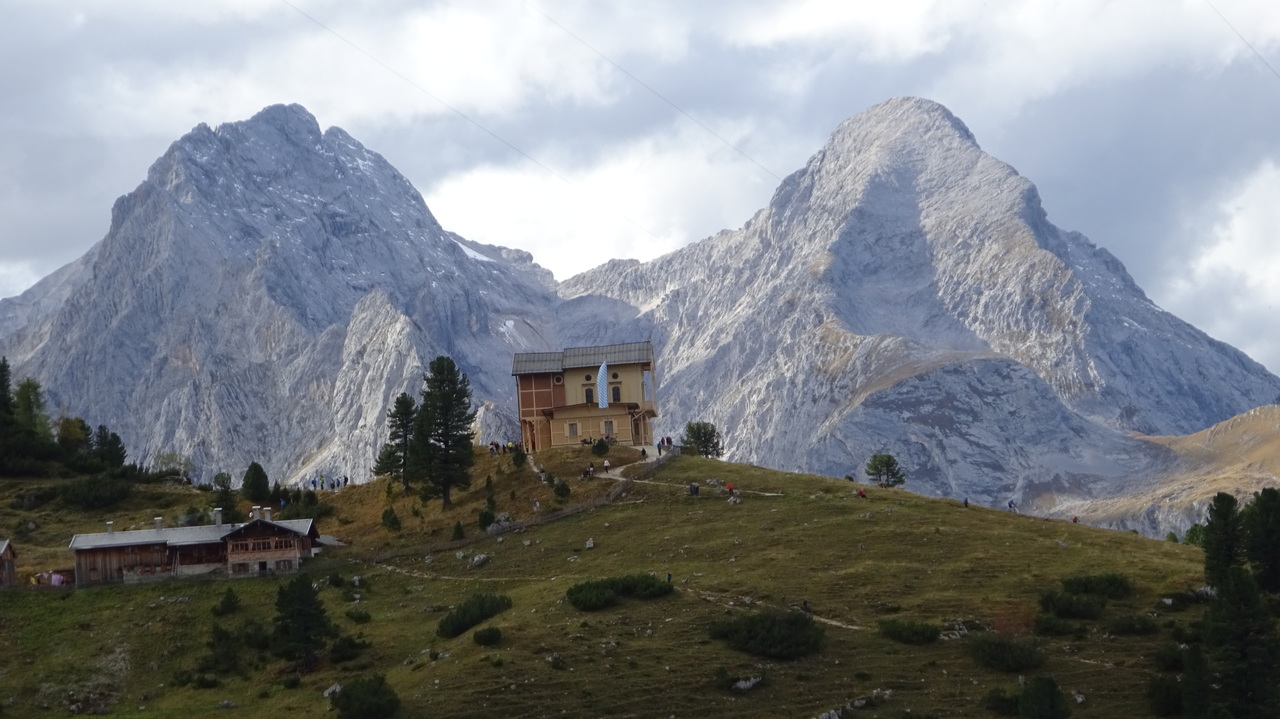
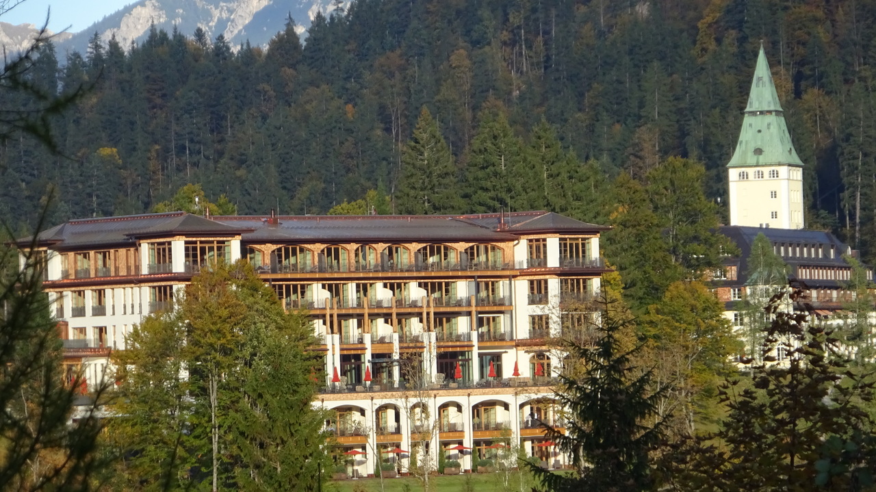
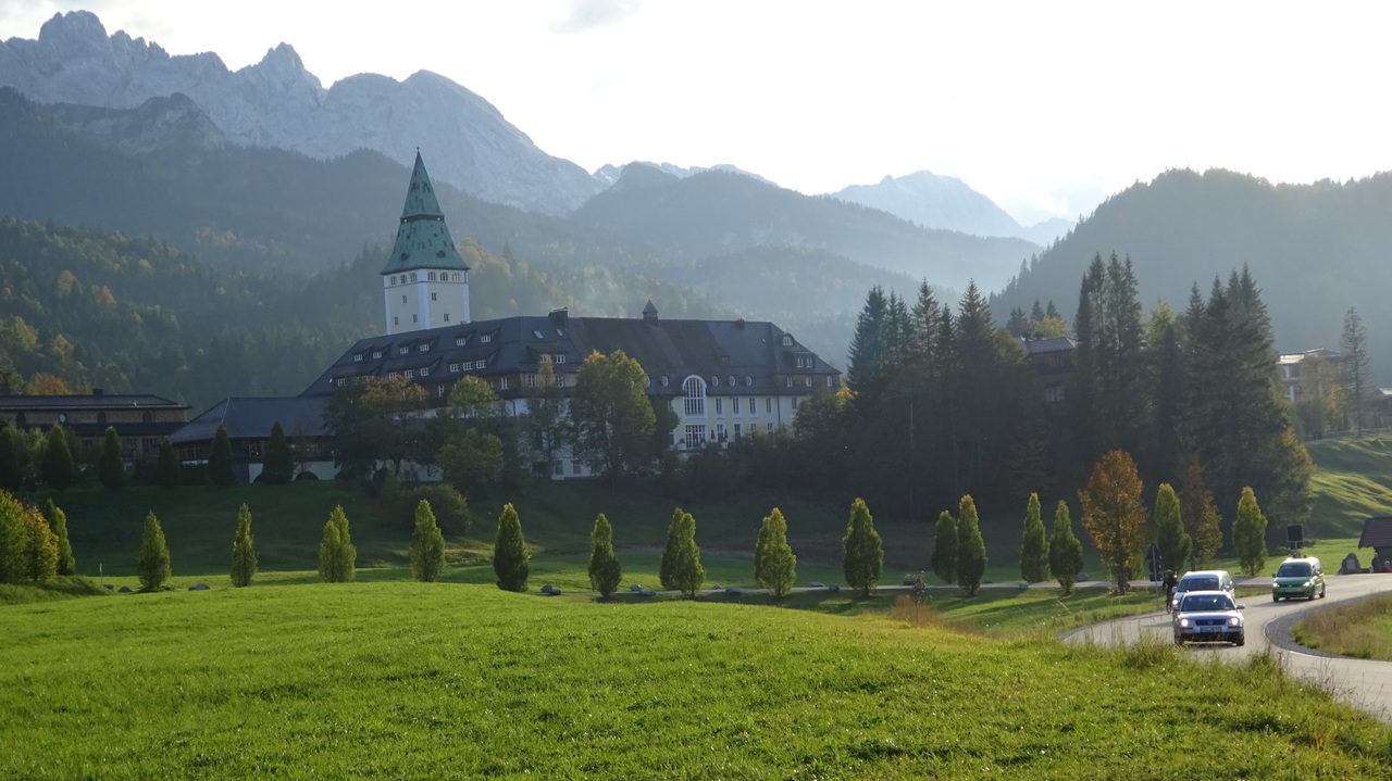
Map of the route “Schachen”: 20,50 km, 928 m of climbing and 928 m of descent, elevation between 1.007 m and 1.862 m. It is a loop that starts and ends at 47.46091, 11.17680 (latitude, longitude).
Gesamtstrecke: 20.54 km
Maximale Höhe: 1862 m
Gesamtanstieg: 928 m
Download file: schachen.gpx
Maximale Höhe: 1862 m
Gesamtanstieg: 928 m