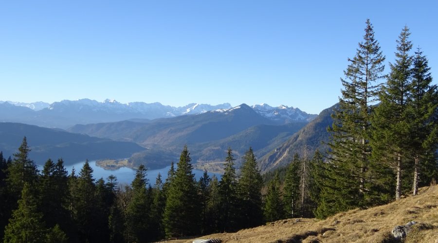
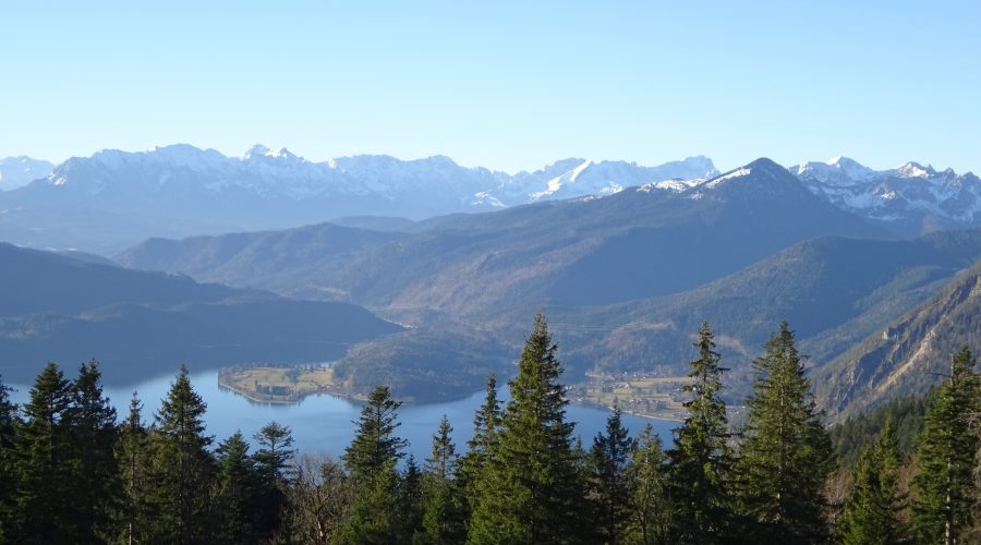
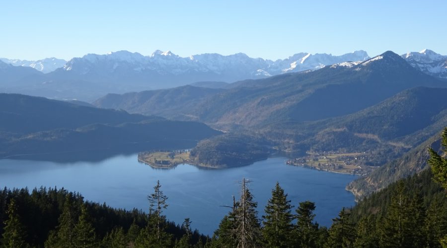
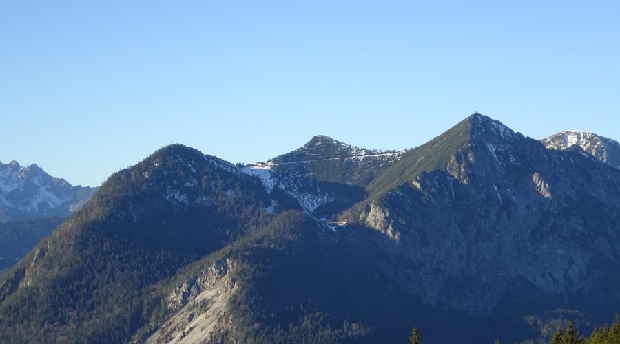
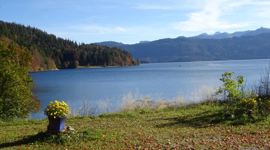
Jochberg – immer schön, kurz und knackig
hier geht’s zur Beschreibung
Map of the route “Jochberg”: 9,58 km, 856 m of climbing and 814 m of descent, elevation between 825 m and 1.564 m, time 02:54:45. It is a loop that starts and ends at 47.62022, 11.34938 (latitude, longitude).
Gesamtstrecke: 9.57 km
Maximale Höhe: 1565 m
Gesamtanstieg: 856 m
Gesamtzeit: 02:54:45
Download file: jochberg.gpx
Maximale Höhe: 1565 m
Gesamtanstieg: 856 m
Gesamtzeit: 02:54:45
Ende November 2016
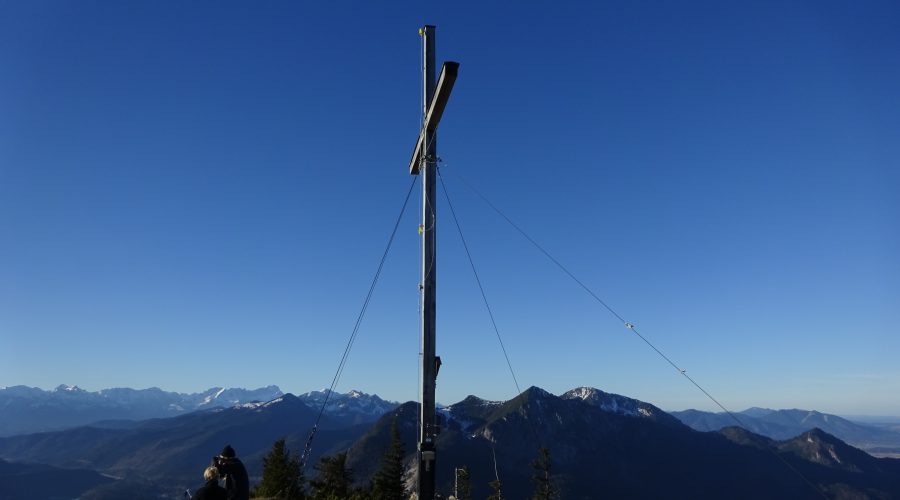
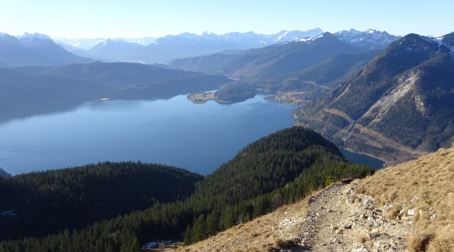
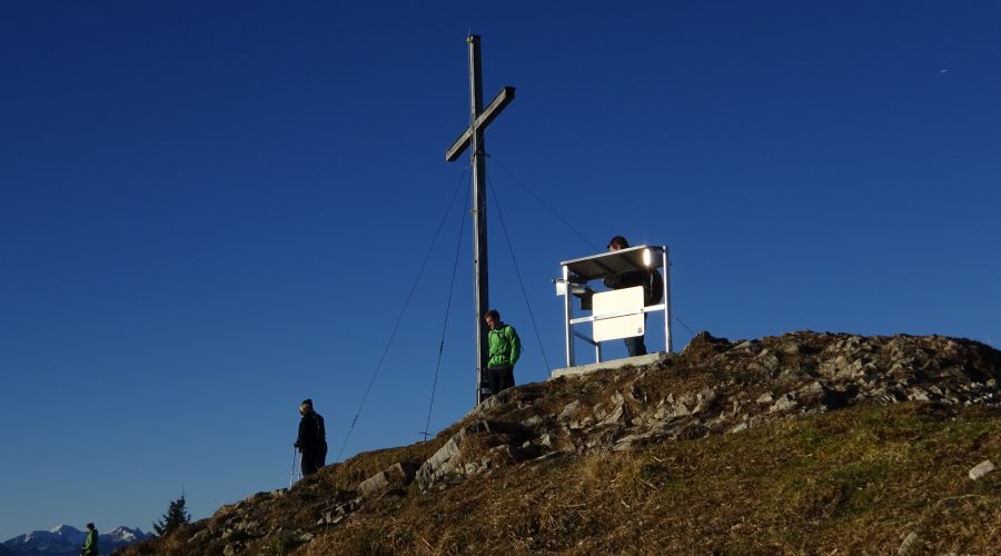
bei Föhnsturm zum Gipfel hin, mit Mühe, das ich ein Foto machen hab können (im knien)
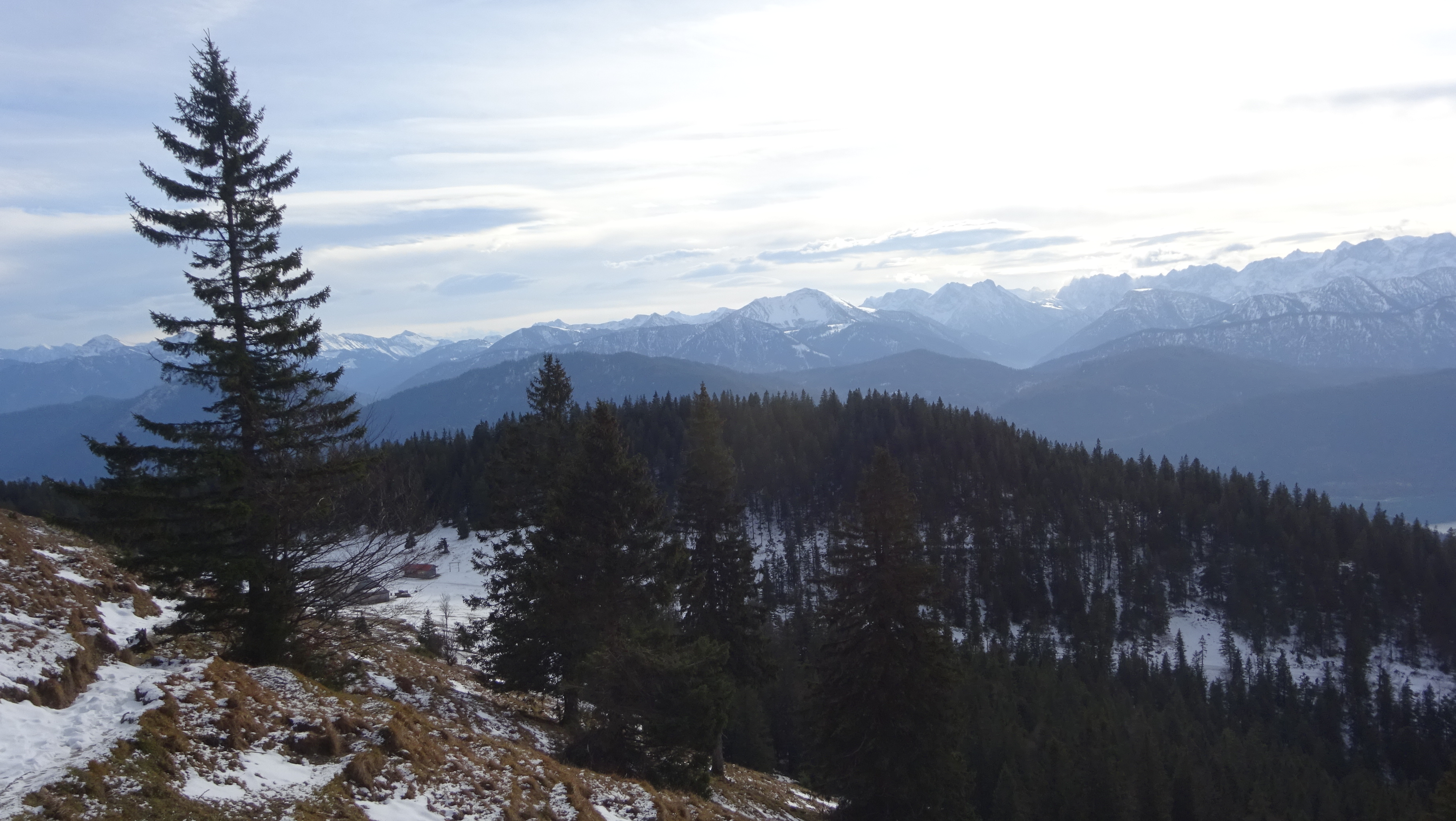
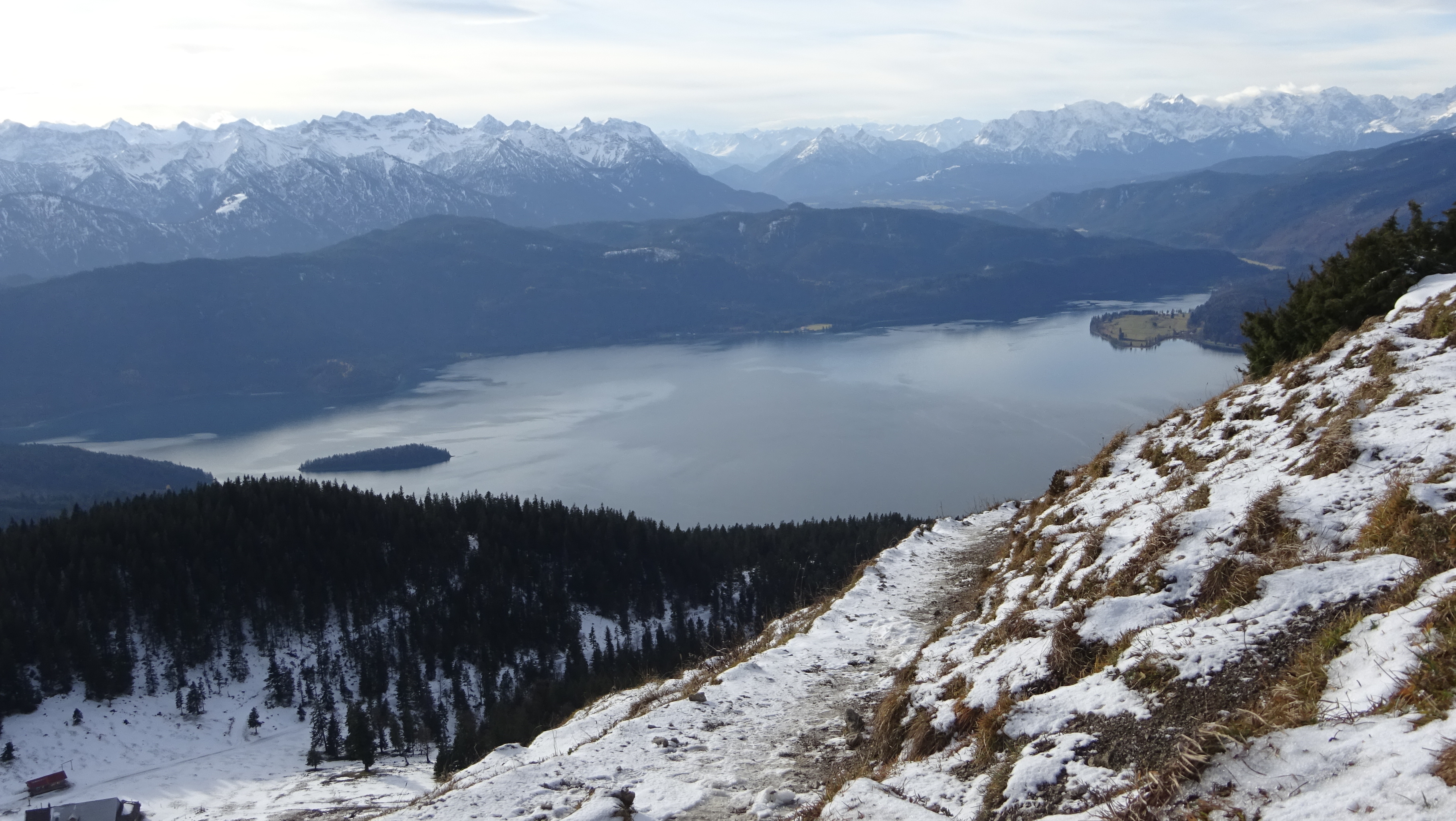 vom Gipfel aus - da hots sauber blasn