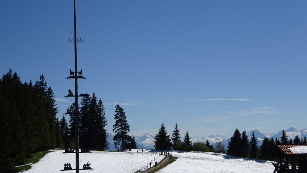
von Frieding zum Auerberg – Ende April im Schnee
auf der Strecke sind 2 kurze Naturstrecken (hinter Jagdberg) + kurz vor Raisting
Map of the route “Auerberg”: 143,34 km, 2.123 m of climbing and 2.078 m of descent, elevation between 537 m and 1.067 m, time 08:28:26. It is a loop that starts and ends at 48.00010, 11.20021 (latitude, longitude).
Gesamtstrecke: 143.51 km
Maximale Höhe: 1068 m
Gesamtanstieg: 2123 m
Gesamtzeit: 08:28:36
Download file: Andechs-Auerberg--Rottenbuch-2017.gpx
Maximale Höhe: 1068 m
Gesamtanstieg: 2123 m
Gesamtzeit: 08:28:36