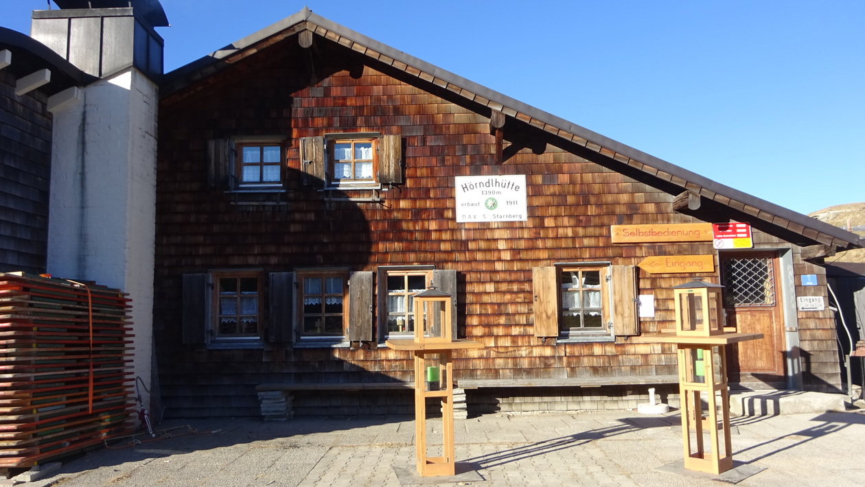
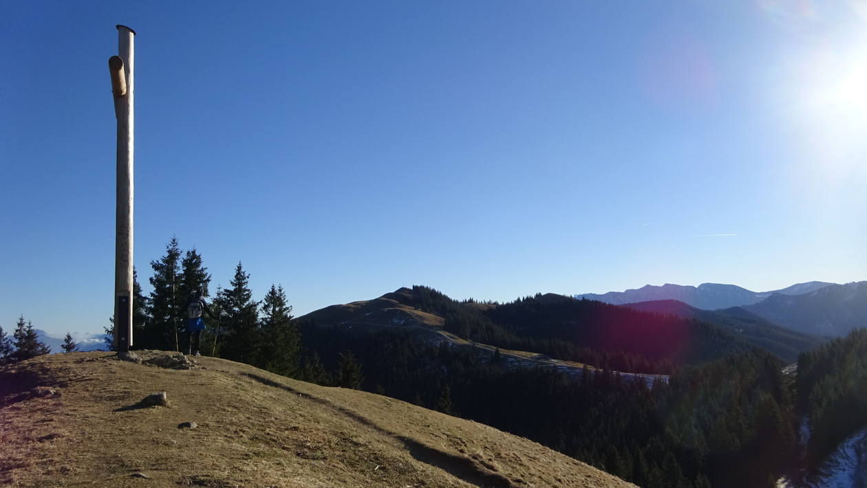
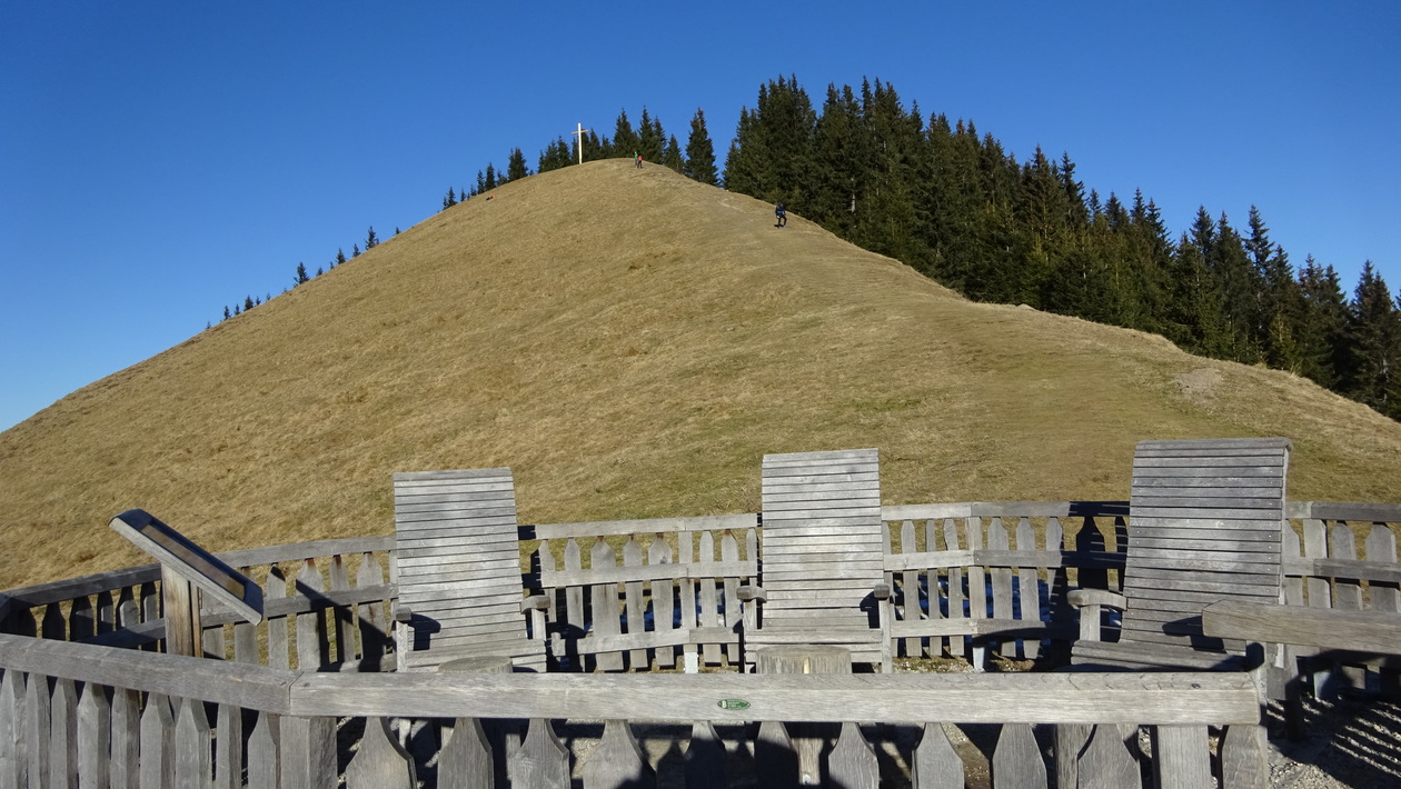
An Neujahr 2017 aufs Hörnle
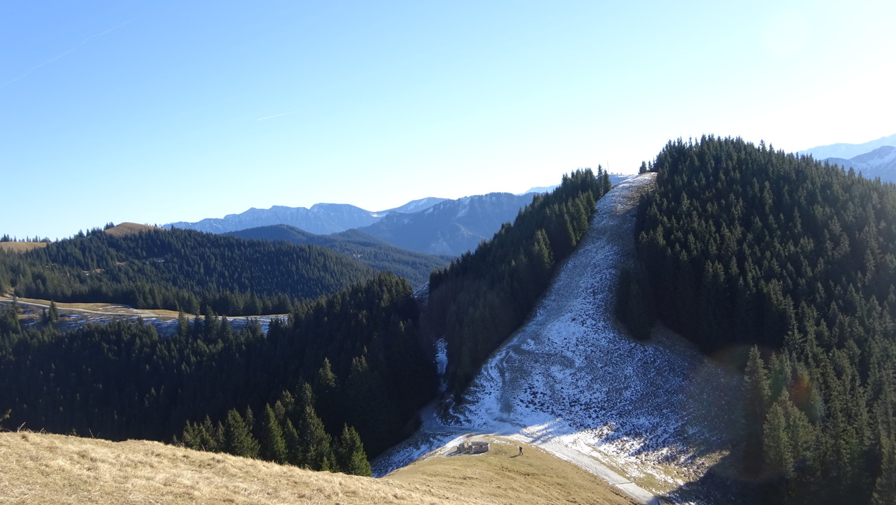
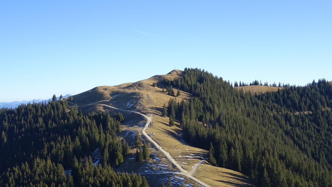
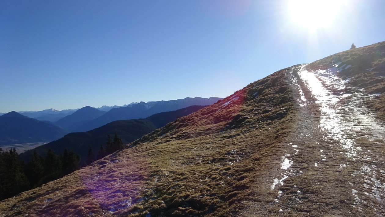
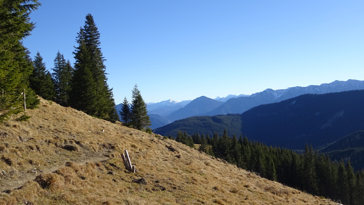
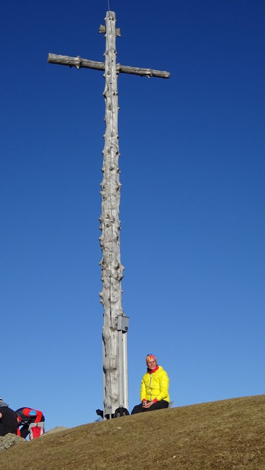
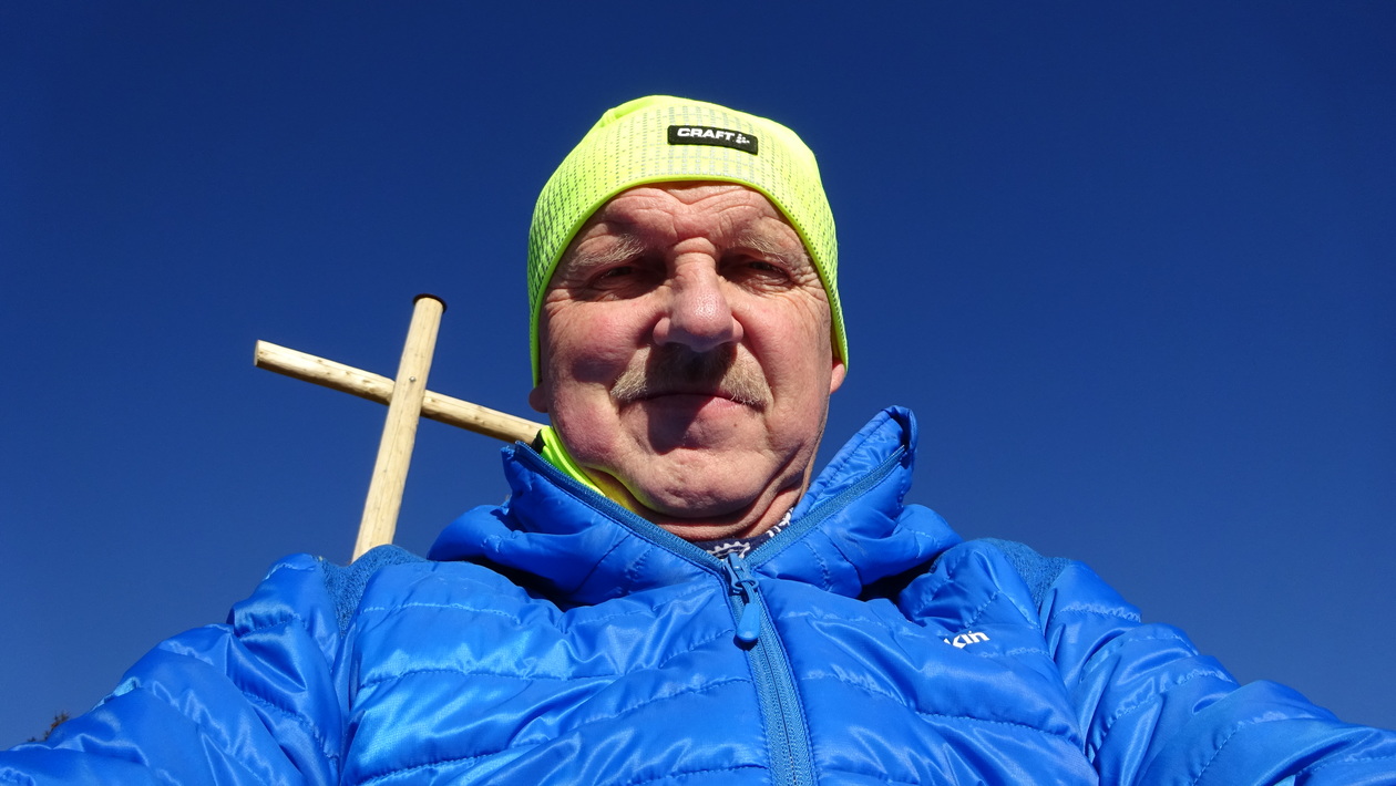
3 Gipfelbesteigungen incl. Gipfelbucheintrag, fast kein Schnee, nur an schattigen Stellen a bisserl eisig.
Aufstieg von Bad Kohlgrub auf dem Winterweg, rückzu die Rodelbahn runter auf den Sommerweg
auf dem Jochberg hats noch gebrannt

Map of the route “Hörnle”: 13,35 km, 910 m of climbing and 905 m of descent, elevation between 955 m and 1.591 m, time 05:27:55. It is a loop that starts and ends at 47.66124, 11.04957 (latitude, longitude).
Gesamtstrecke: 13.39 km
Maximale Höhe: 1591 m
Gesamtanstieg: 910 m
Gesamtzeit: 05:28:20
Download file: Hörnle-2017.gpx
Maximale Höhe: 1591 m
Gesamtanstieg: 910 m
Gesamtzeit: 05:28:20