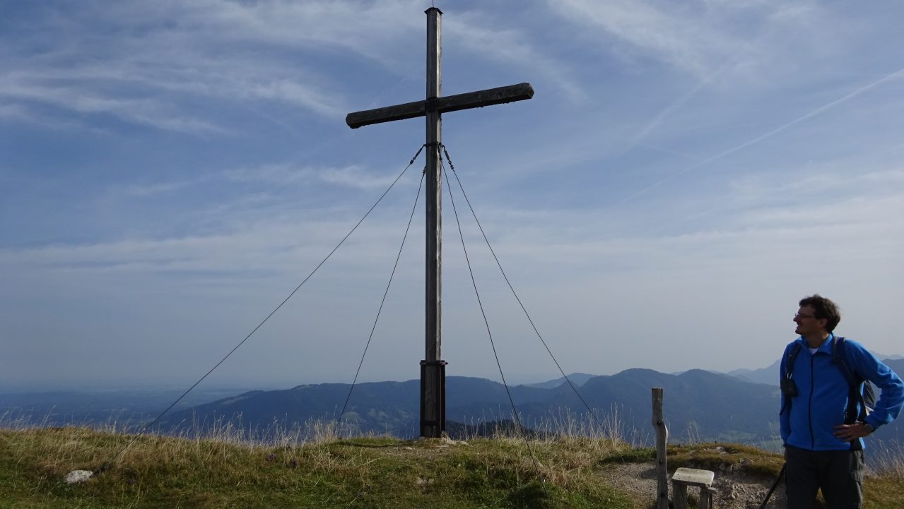
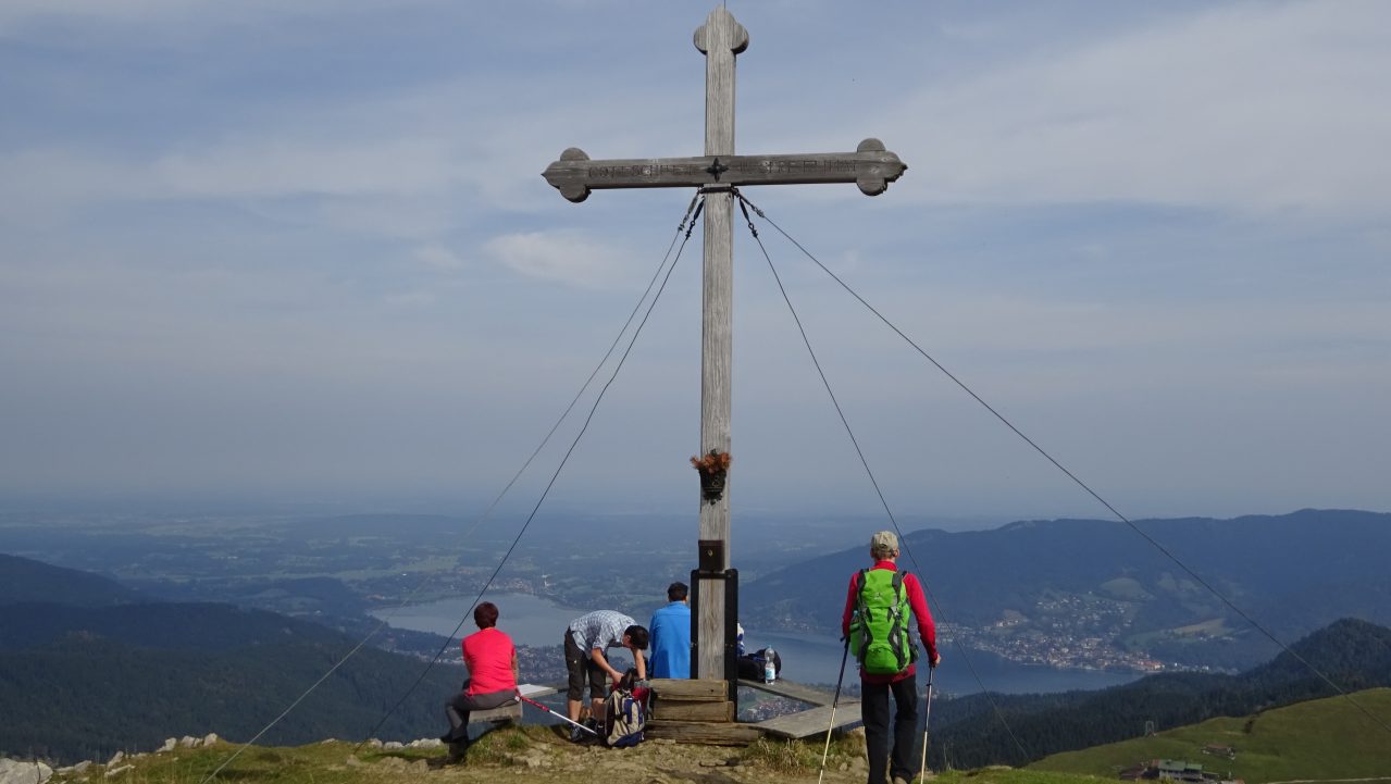
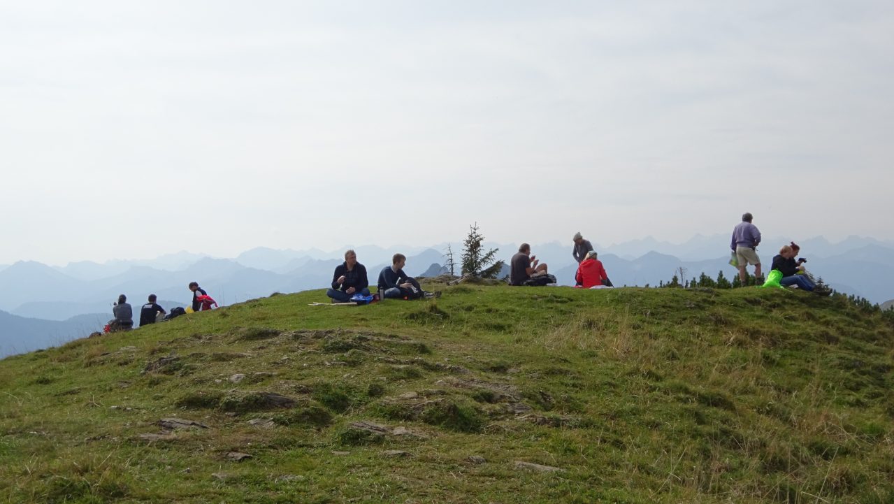
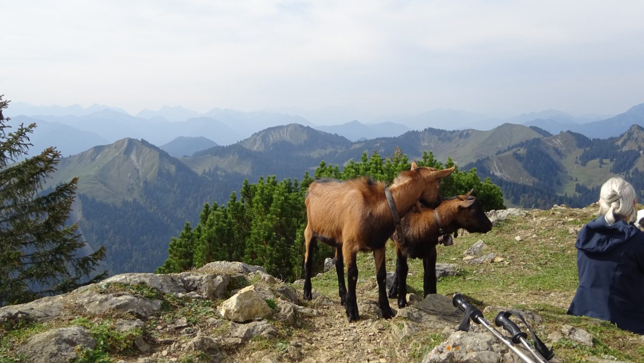
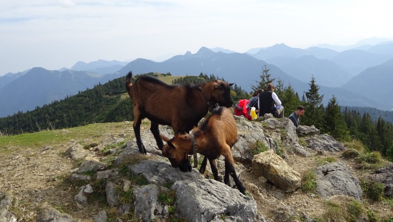
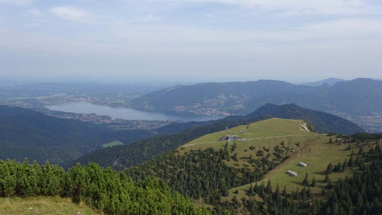
schöne Tour zum Hirschberg, mit teils steilen Abstieg die Skipiste runter – bei Nässe gehts a bisserl schneller…
Map of the route “Hirschberg”: 12,40 km, 995 m of climbing and 994 m of descent, elevation between 767 m and 1.639 m, time 01:12:55. It is a loop that starts and ends at 47.66615, 11.74743 (latitude, longitude).
Gesamtstrecke: 12.45 km
Maximale Höhe: 1641 m
Gesamtanstieg: 995 m
Gesamtzeit: 01:13:12
Download file: Hirschberg.gpx
Maximale Höhe: 1641 m
Gesamtanstieg: 995 m
Gesamtzeit: 01:13:12