erste Wandertour 2016 zur Auerspitz
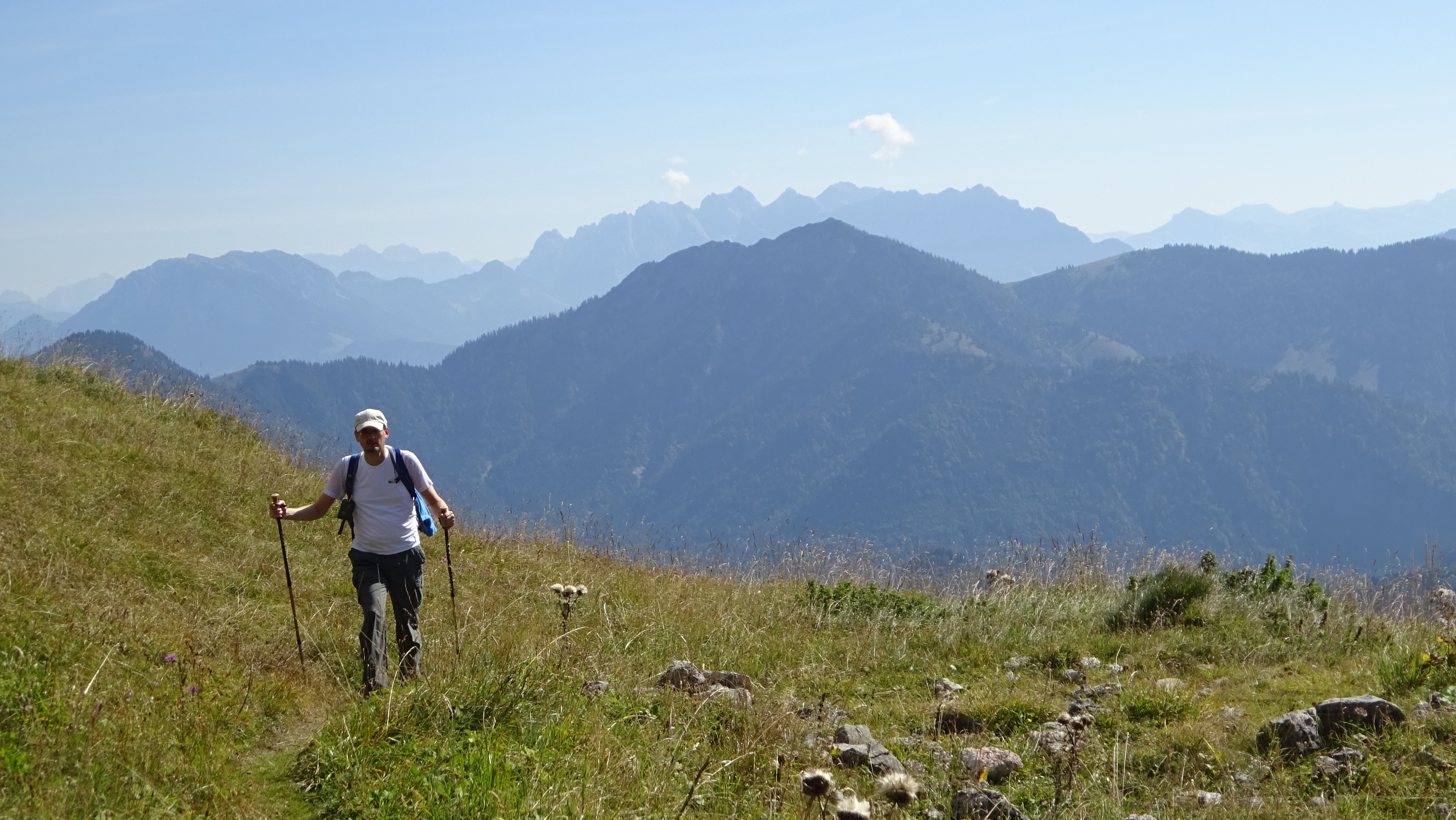
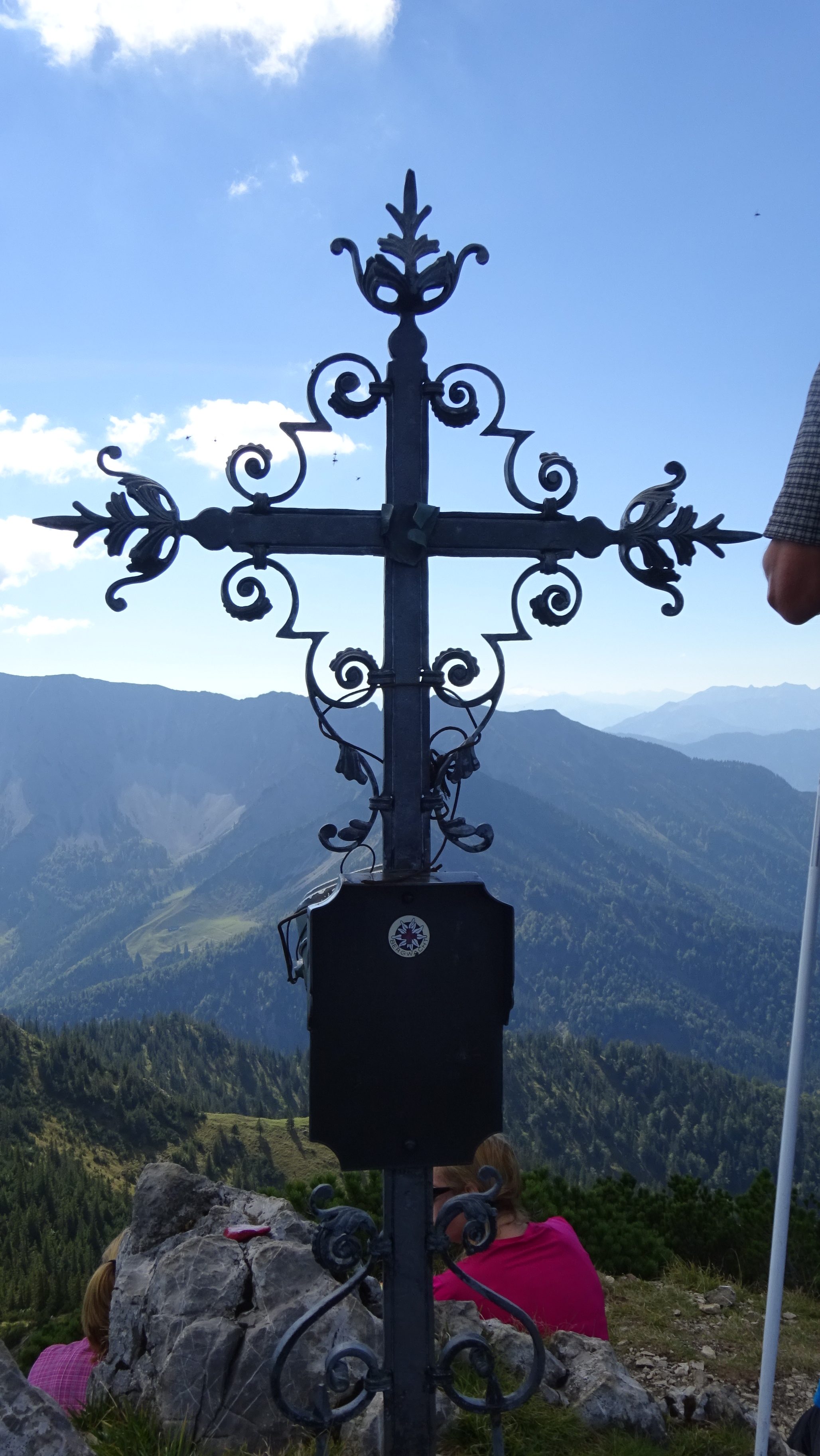
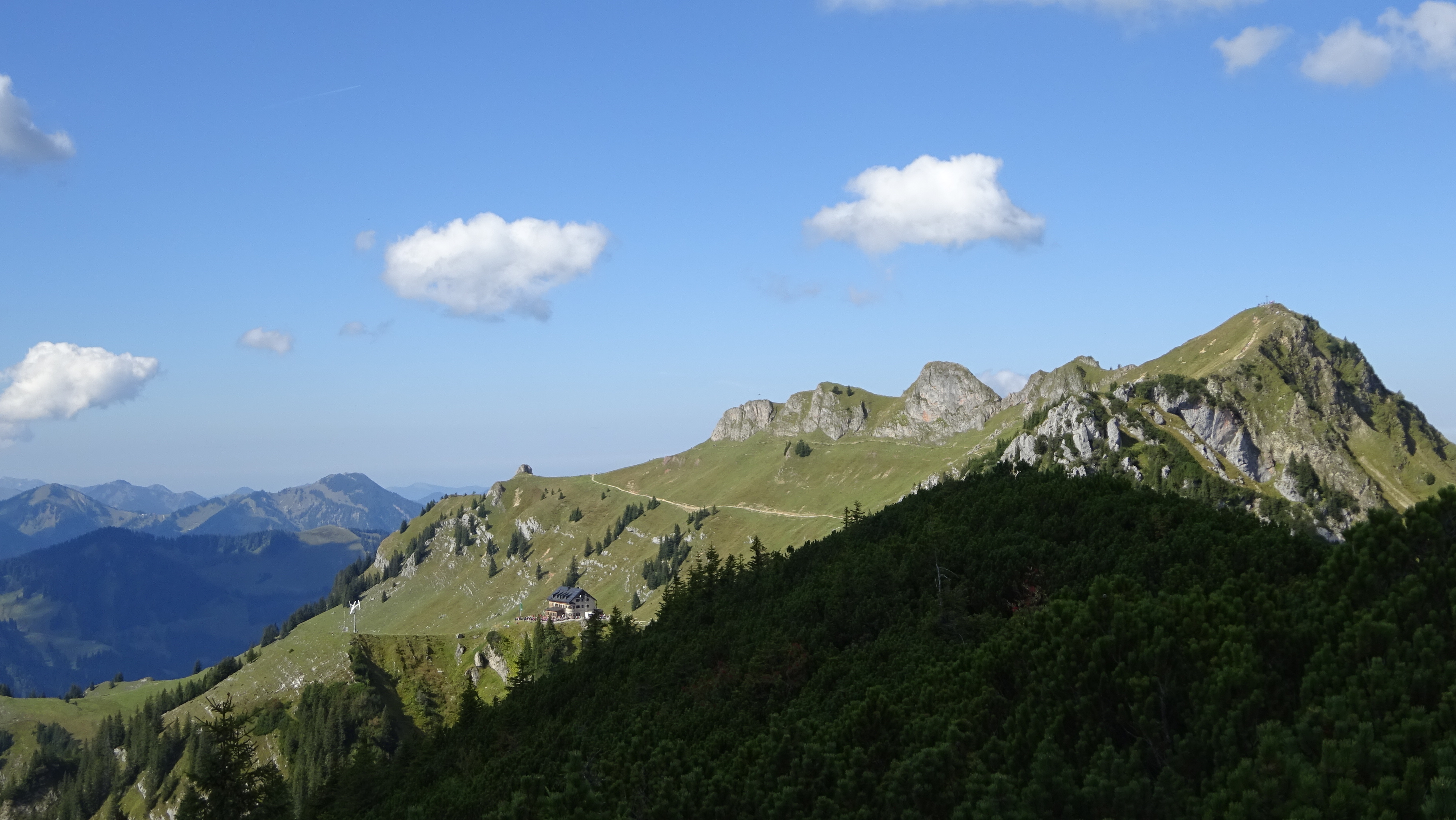
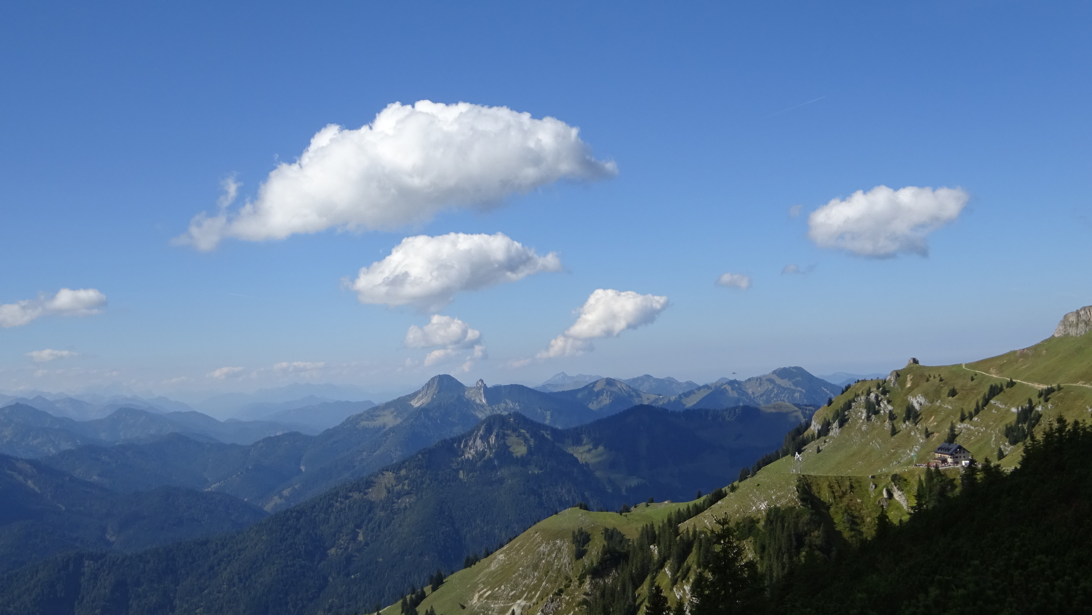
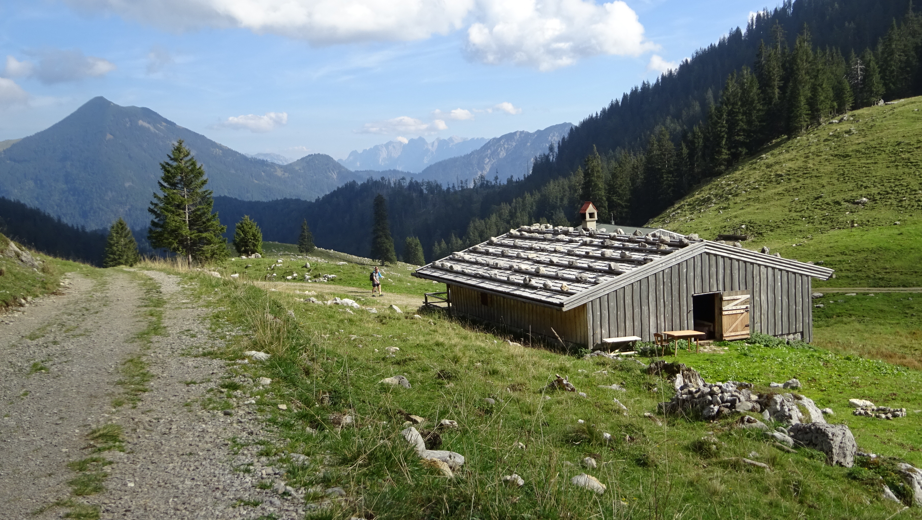
kurz vorm Stocker geht’s los, super sonniger luftiger Aufstieg (solange es nicht Hochsommer ist). Viel weniger los als zur Rotwand gegenüber. Am Soinsee hat der Bruno sein Ende gefunden…
Map of the route “Auerspitz + Soinsee”: 15,94 km, 927 m of climbing and 925 m of descent, elevation between 855 m and 1.759 m, time 05:52:39. It is a loop that starts and ends at 47.64467, 12.00863 (latitude, longitude).
Gesamtstrecke: 15.94 km
Maximale Höhe: 1759 m
Gesamtanstieg: 927 m
Gesamtzeit: 05:52:39
Download file: Auerspitz.gpx
Maximale Höhe: 1759 m
Gesamtanstieg: 927 m
Gesamtzeit: 05:52:39