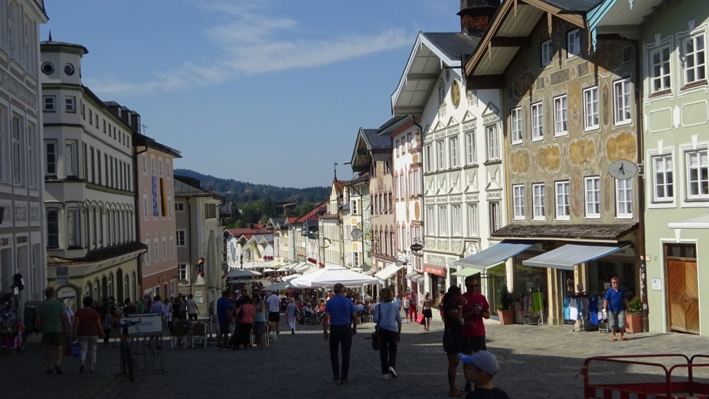
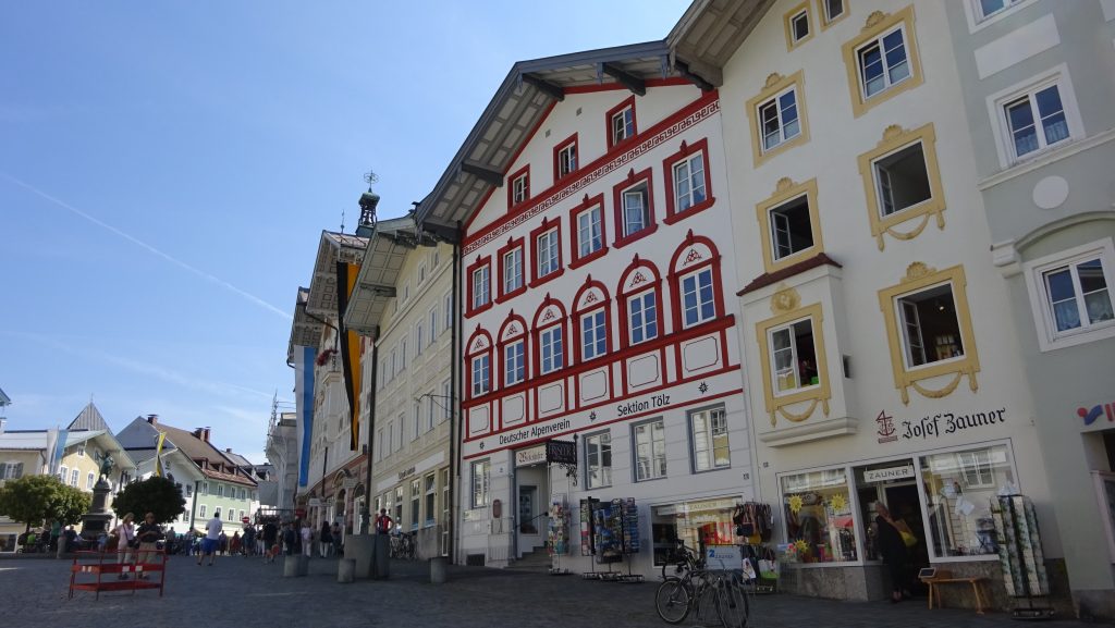
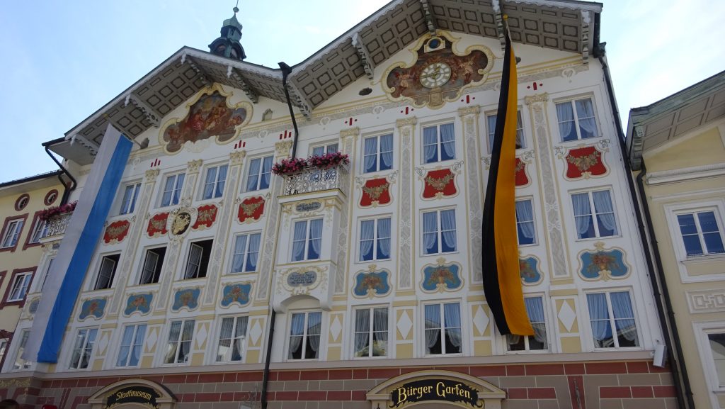
sehr schöne hügelige Tour von Wangen nach Tölz
Map of the route “Wangen – Bad Tölz”: 115,20 km, 1.641 m of climbing and 1.627 m of descent, elevation between 552 m and 726 m, time 07:13:36. It starts at 48.01543, 11.39986 and ends at 48.01295, 11.40215 (latitude, longitude).
Gesamtstrecke: 115.53 km
Maximale Höhe: 728 m
Gesamtanstieg: 1641 m
Gesamtzeit: 07:13:41
Download file: Wangen-Karpfsee-Bad%20Tölz.gpx
Maximale Höhe: 728 m
Gesamtanstieg: 1641 m
Gesamtzeit: 07:13:41