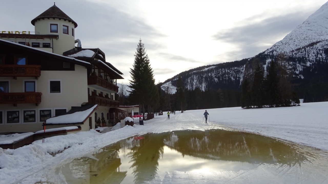
Leutasch 2019 – mal übers Wochenende
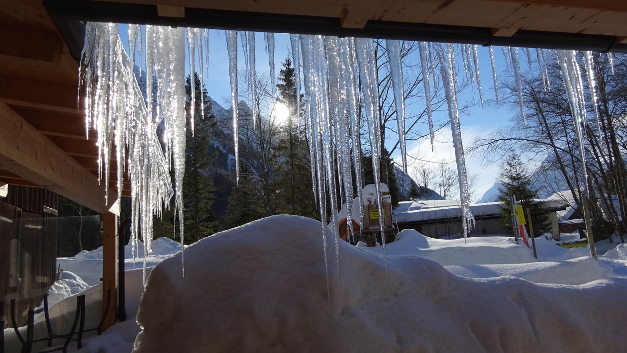
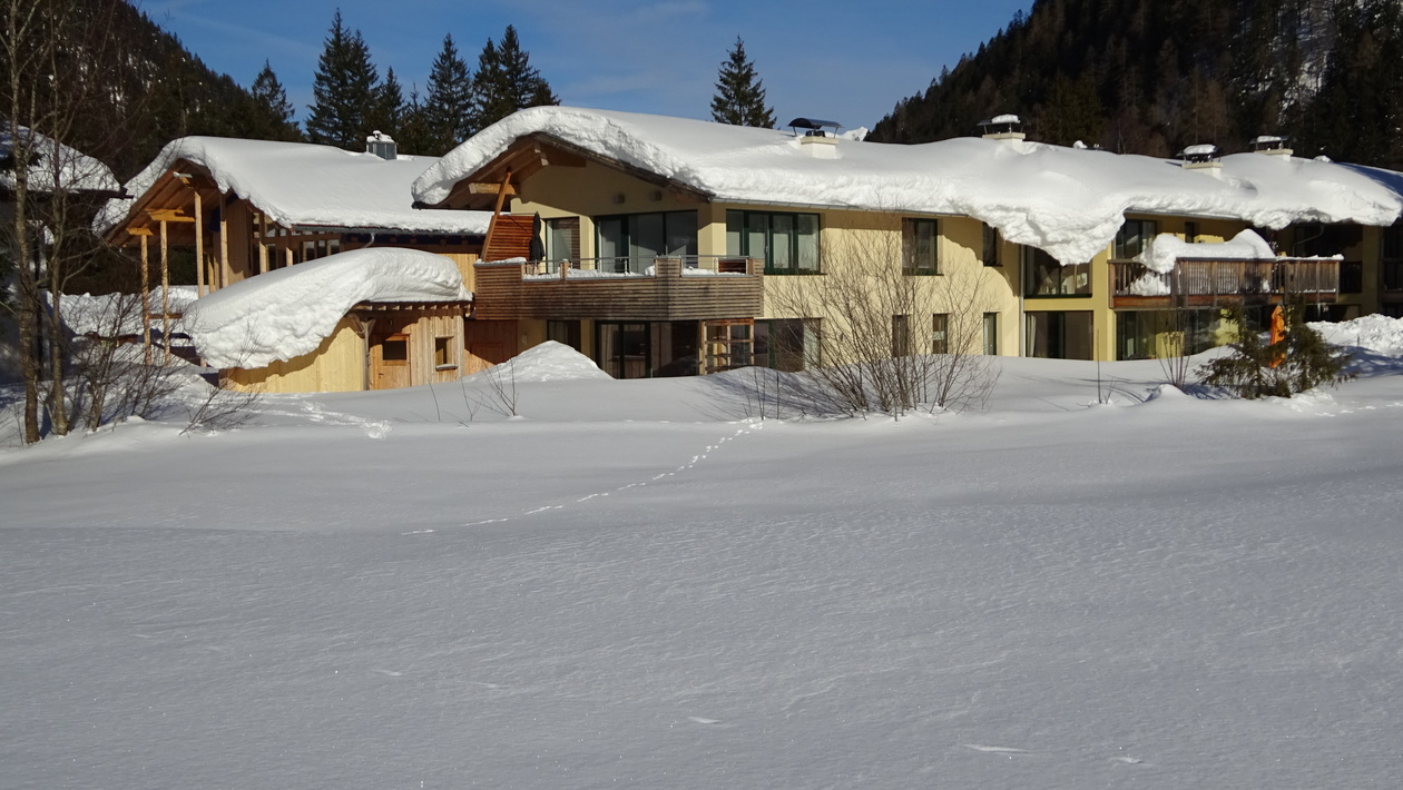
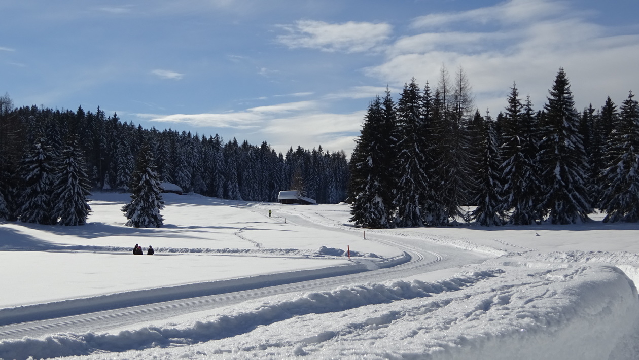
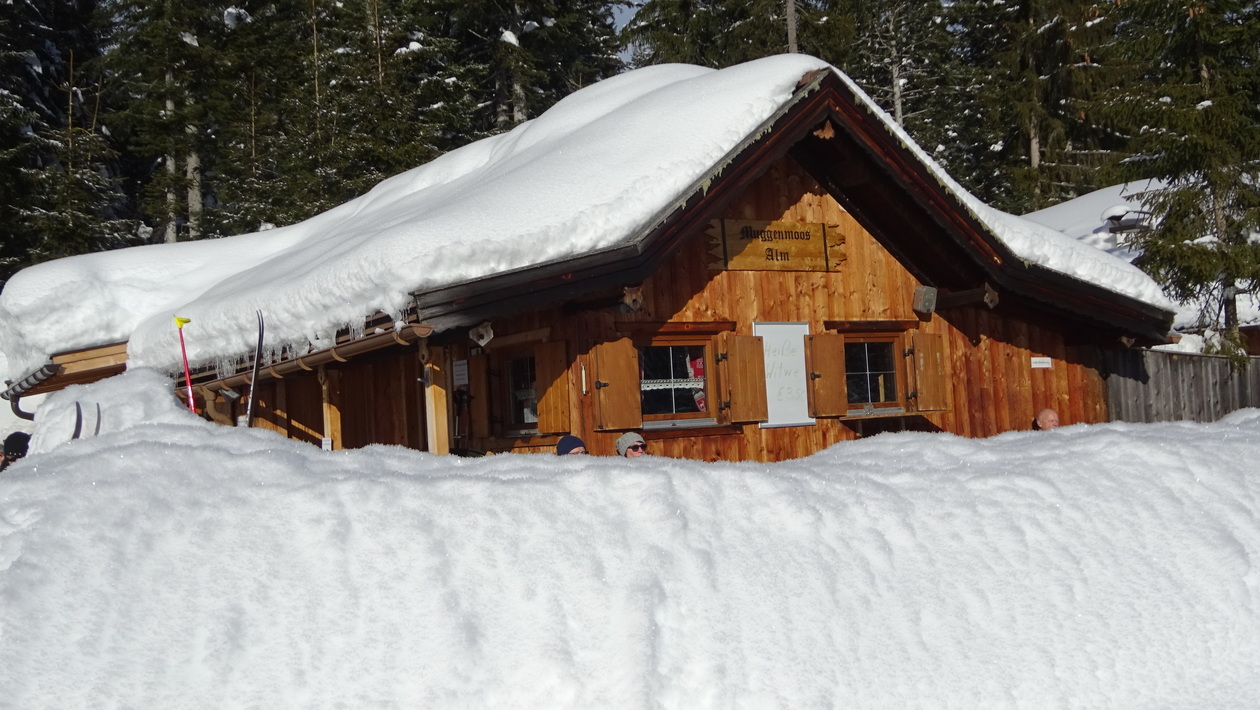
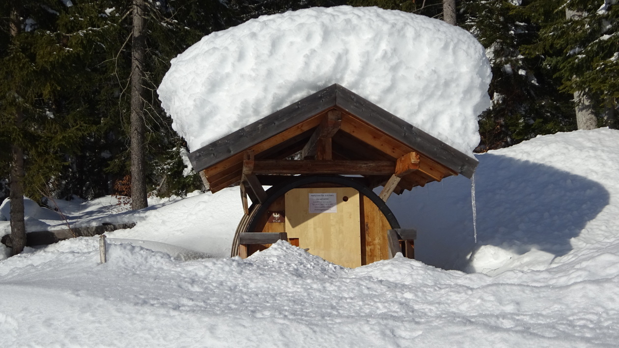
Leutasch 2018
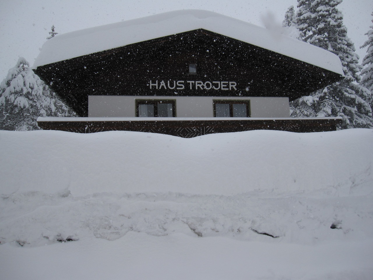
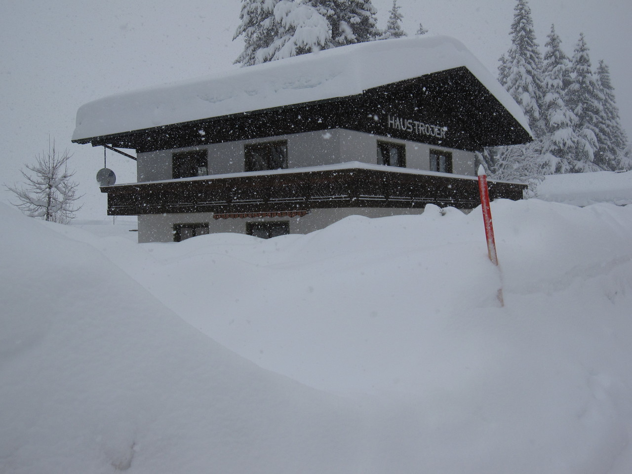
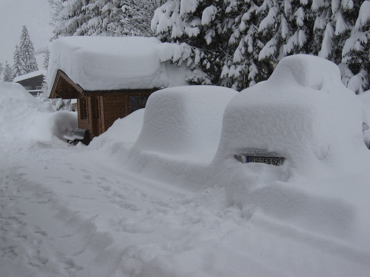
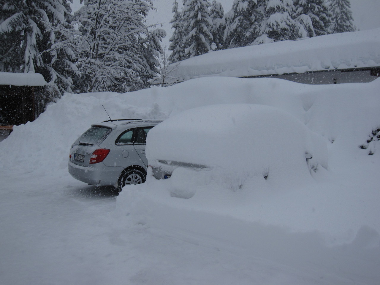
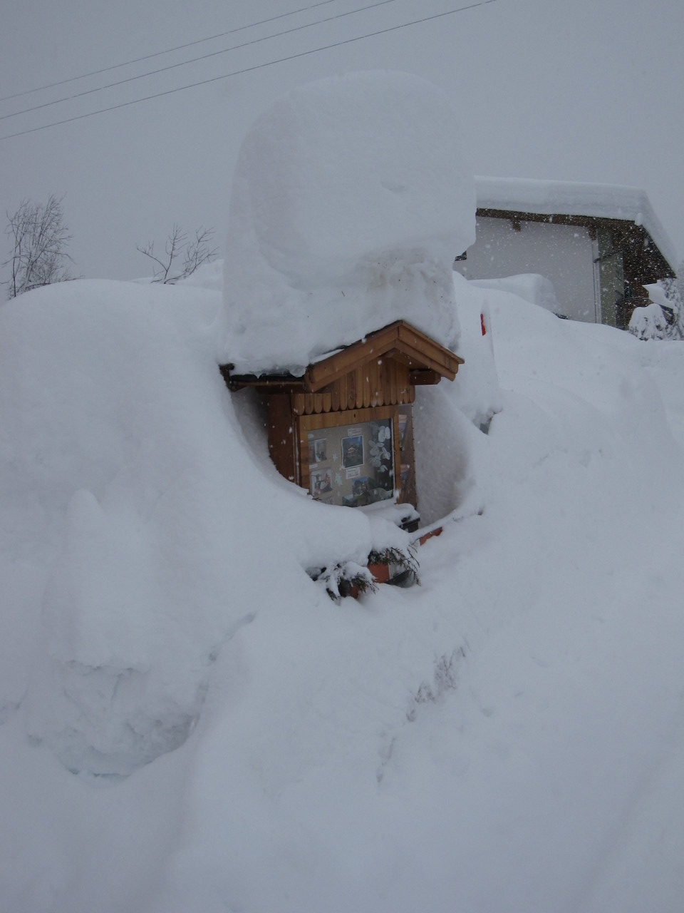
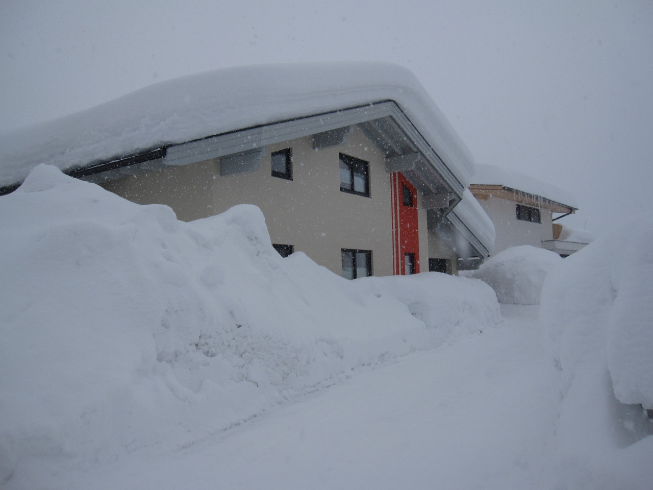
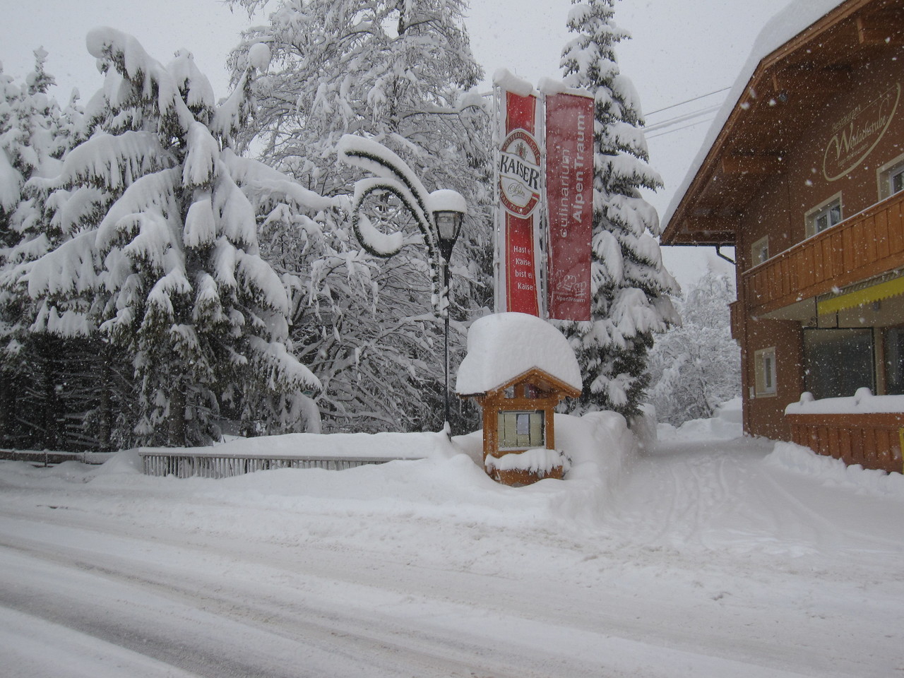
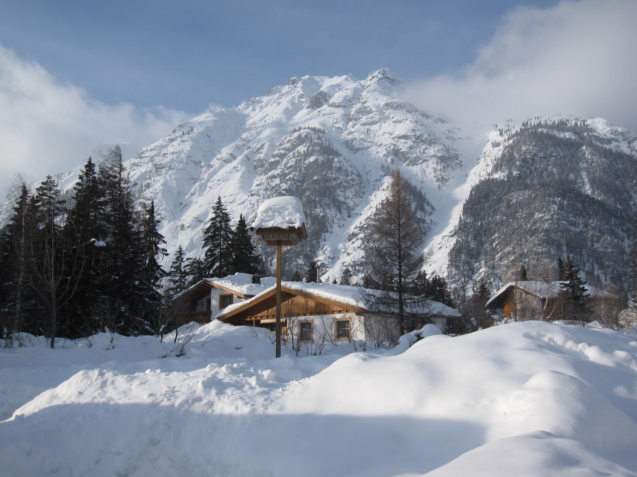
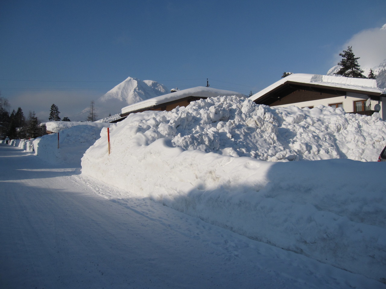
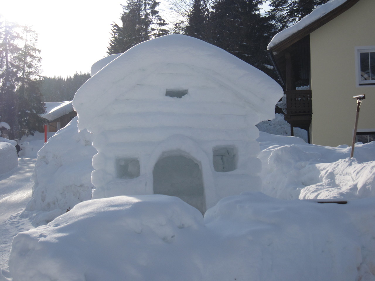
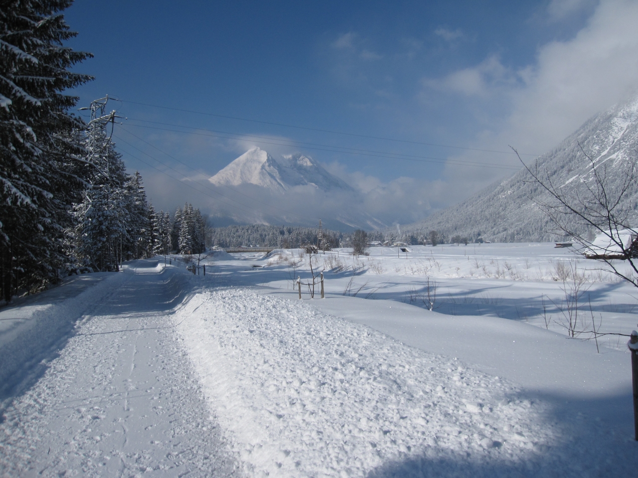
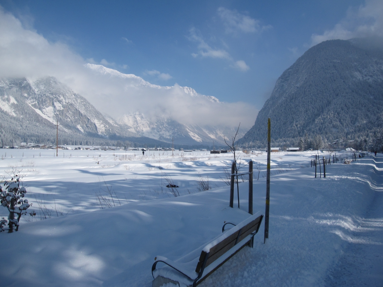
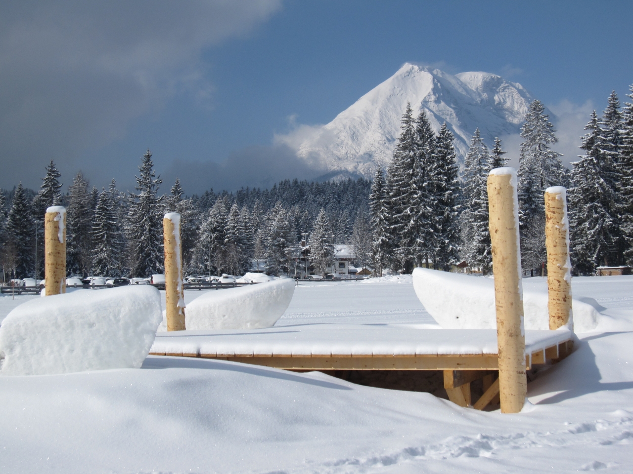
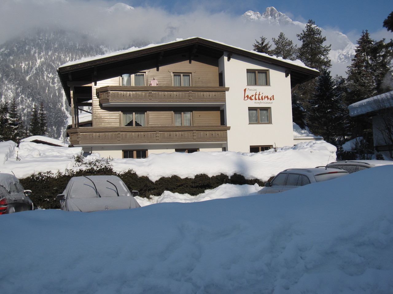
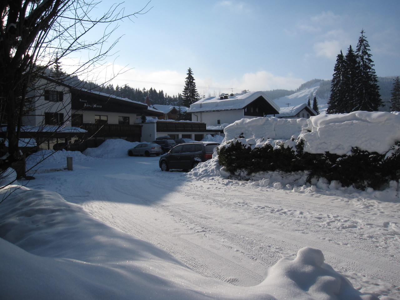
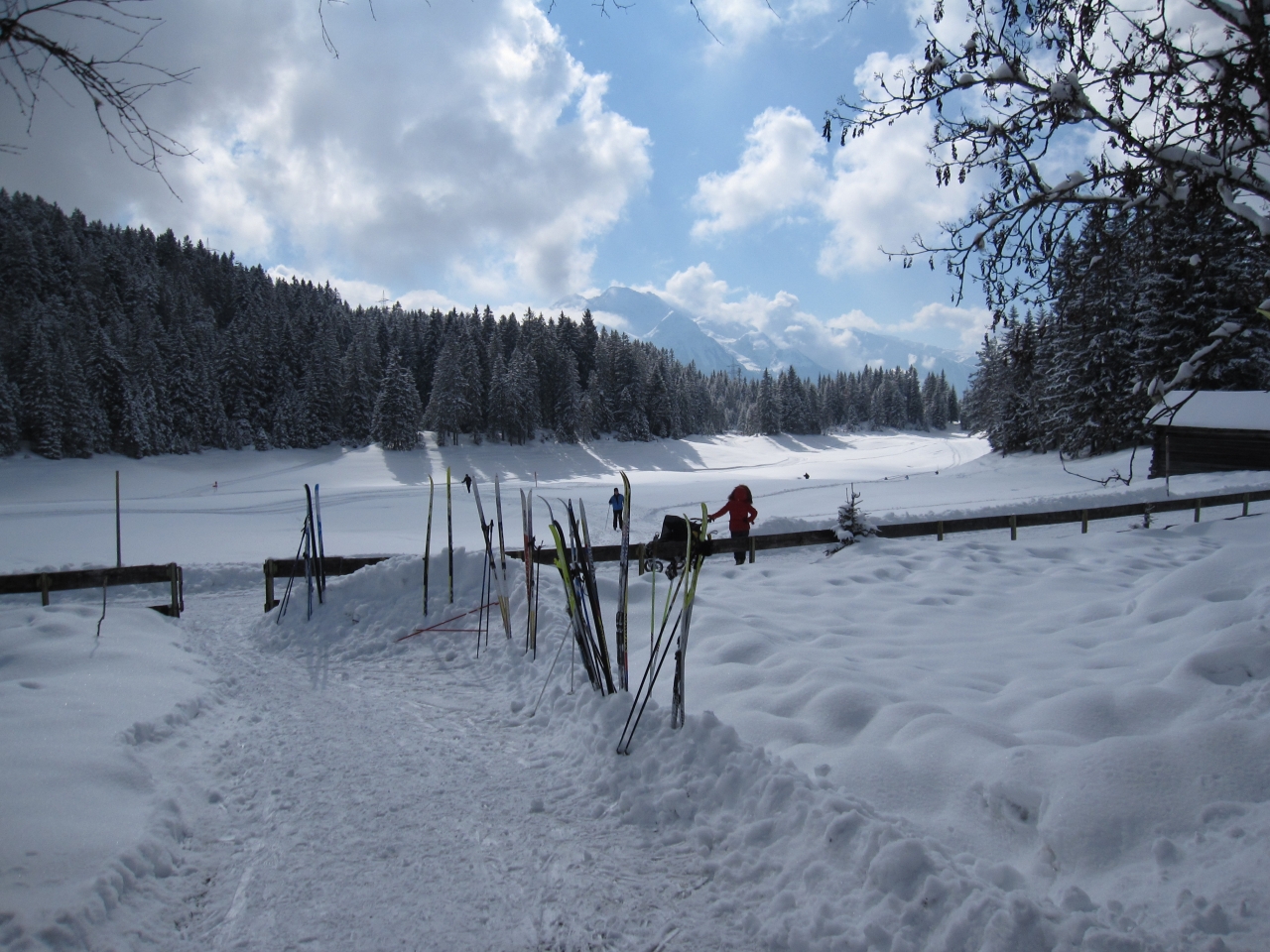
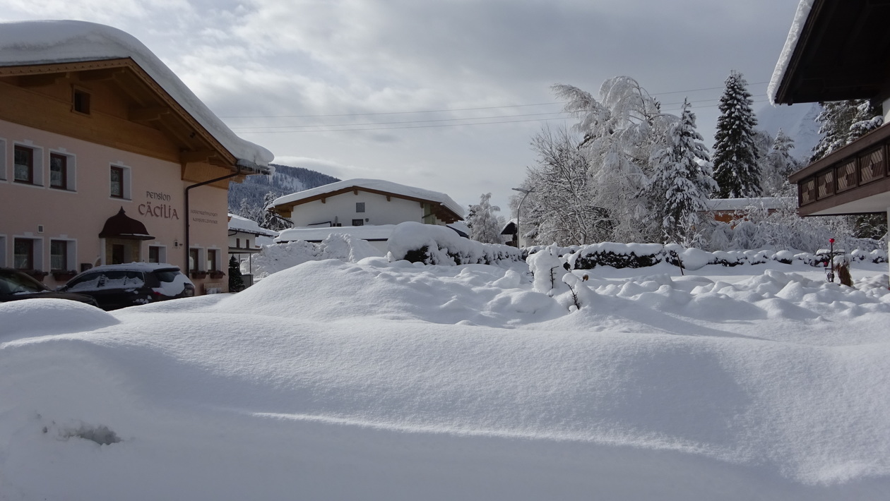
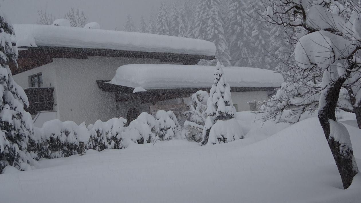
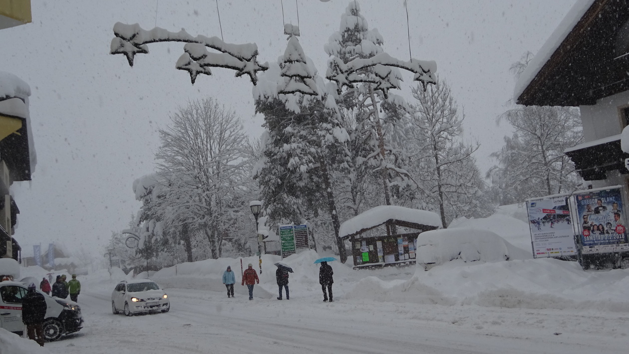
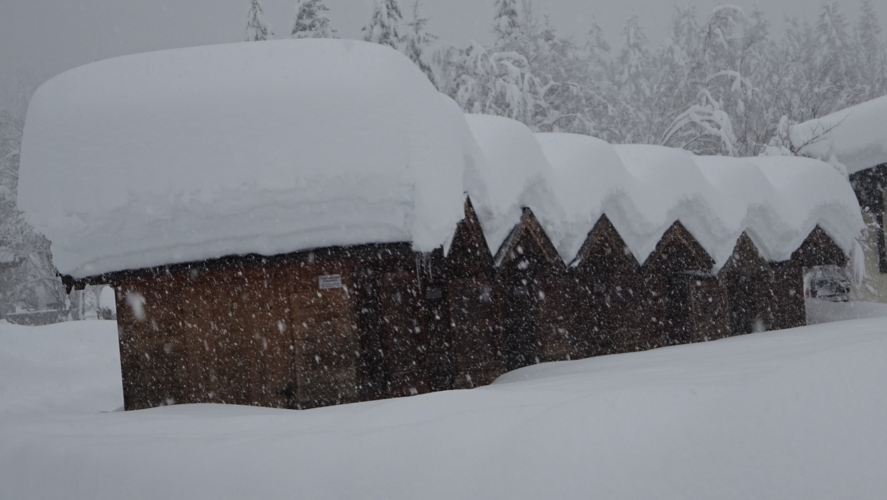
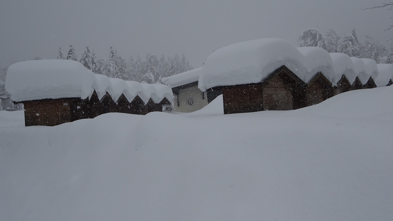
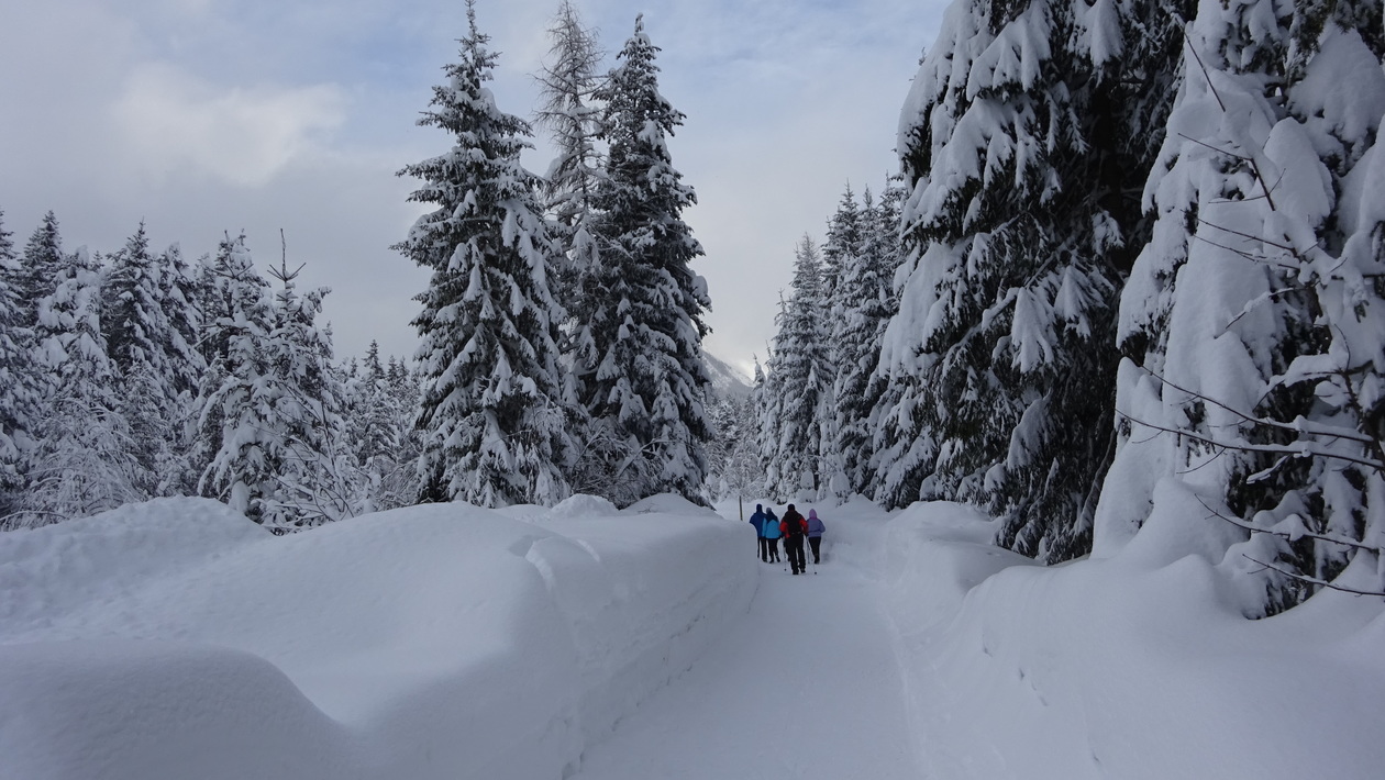
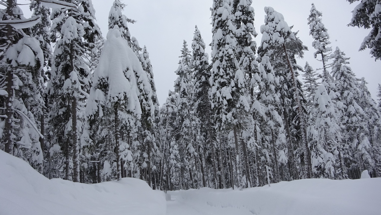
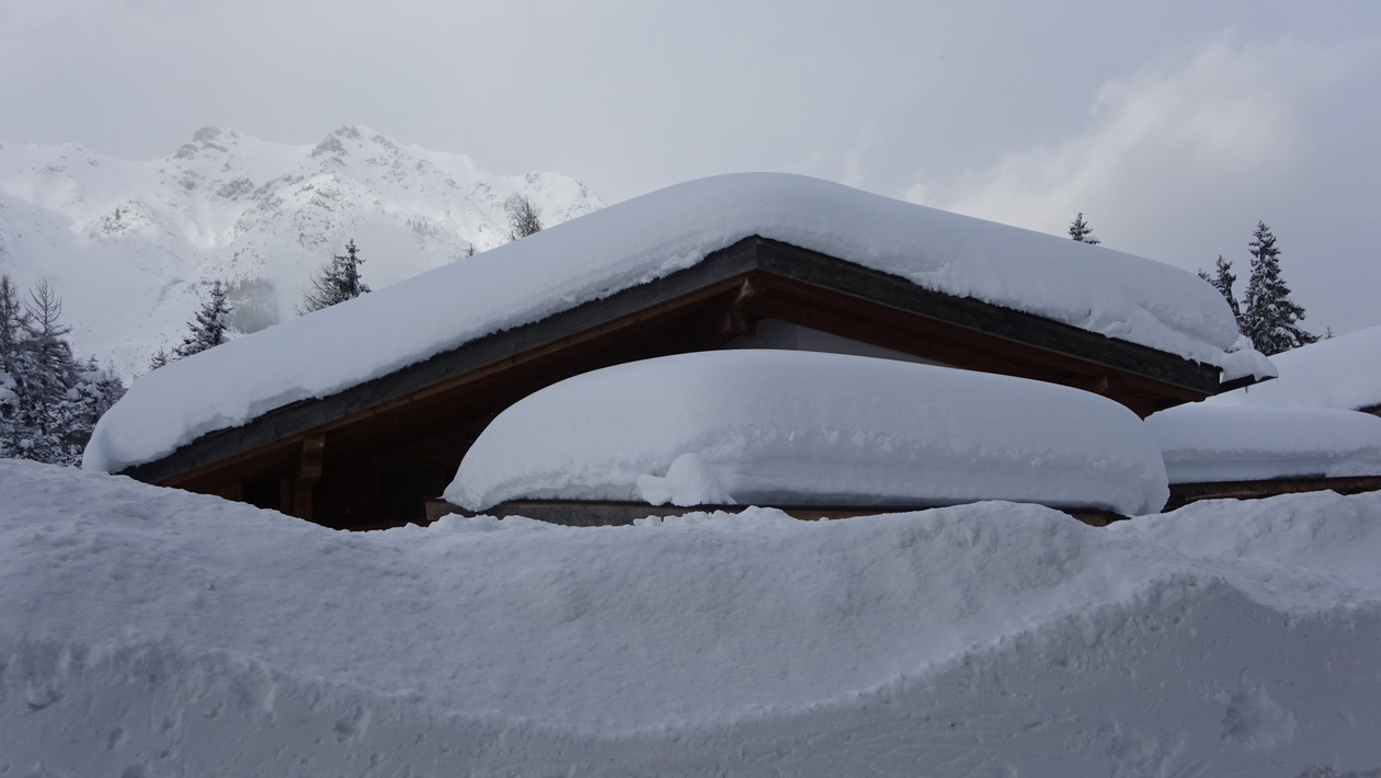
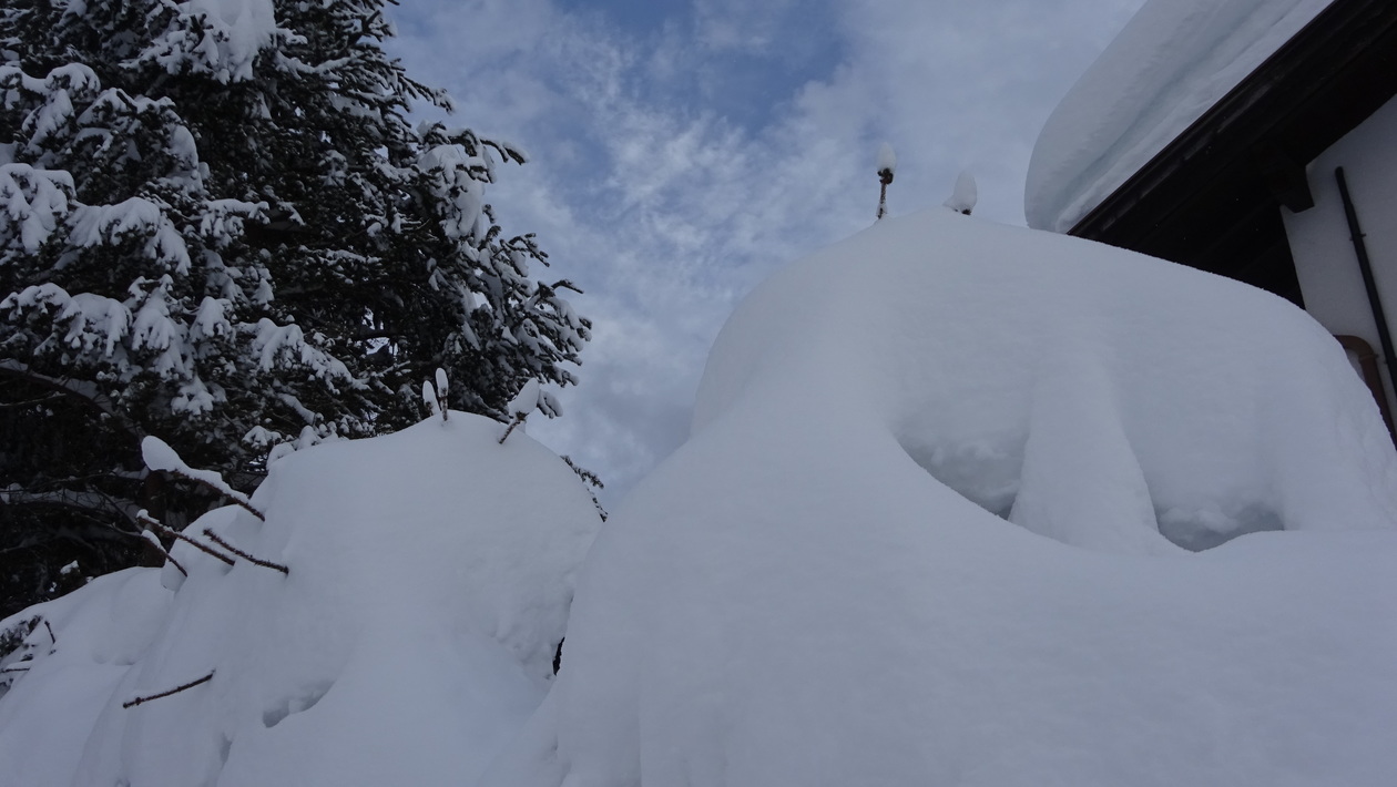
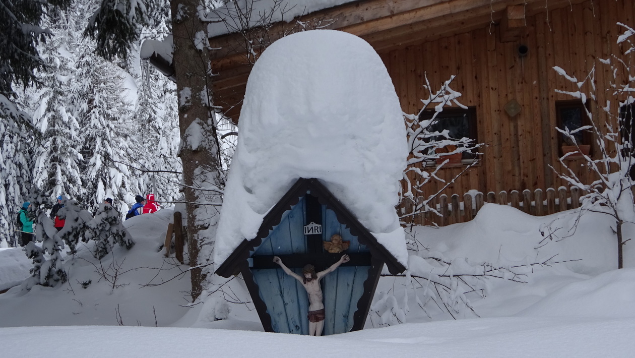
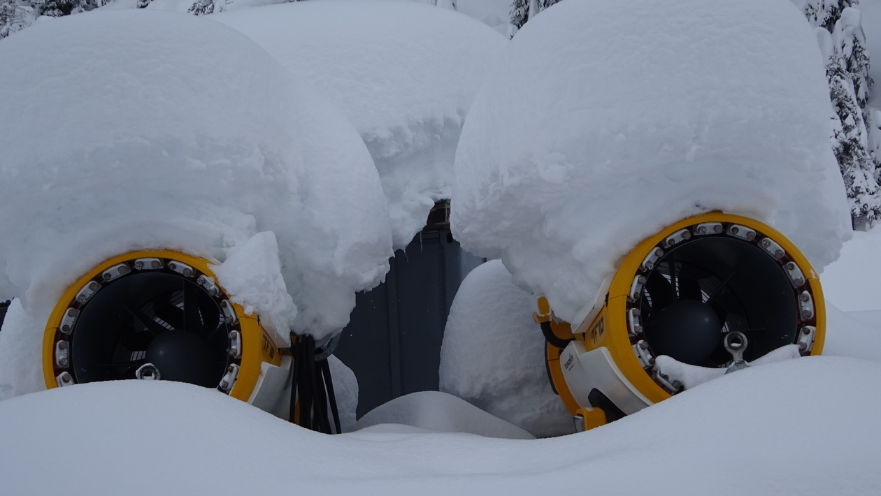
Soviel Schnee hats am Sonntag lang nimmer geben..
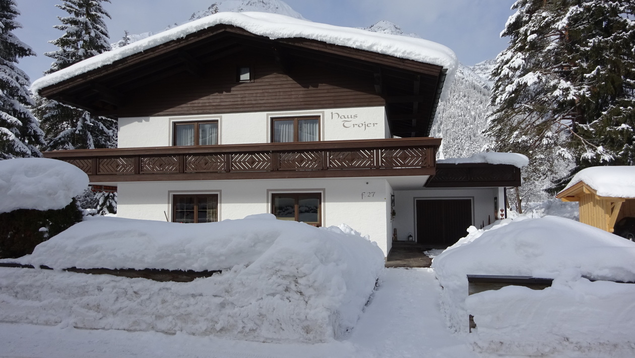
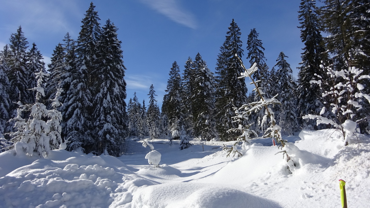
Leutasch 2017
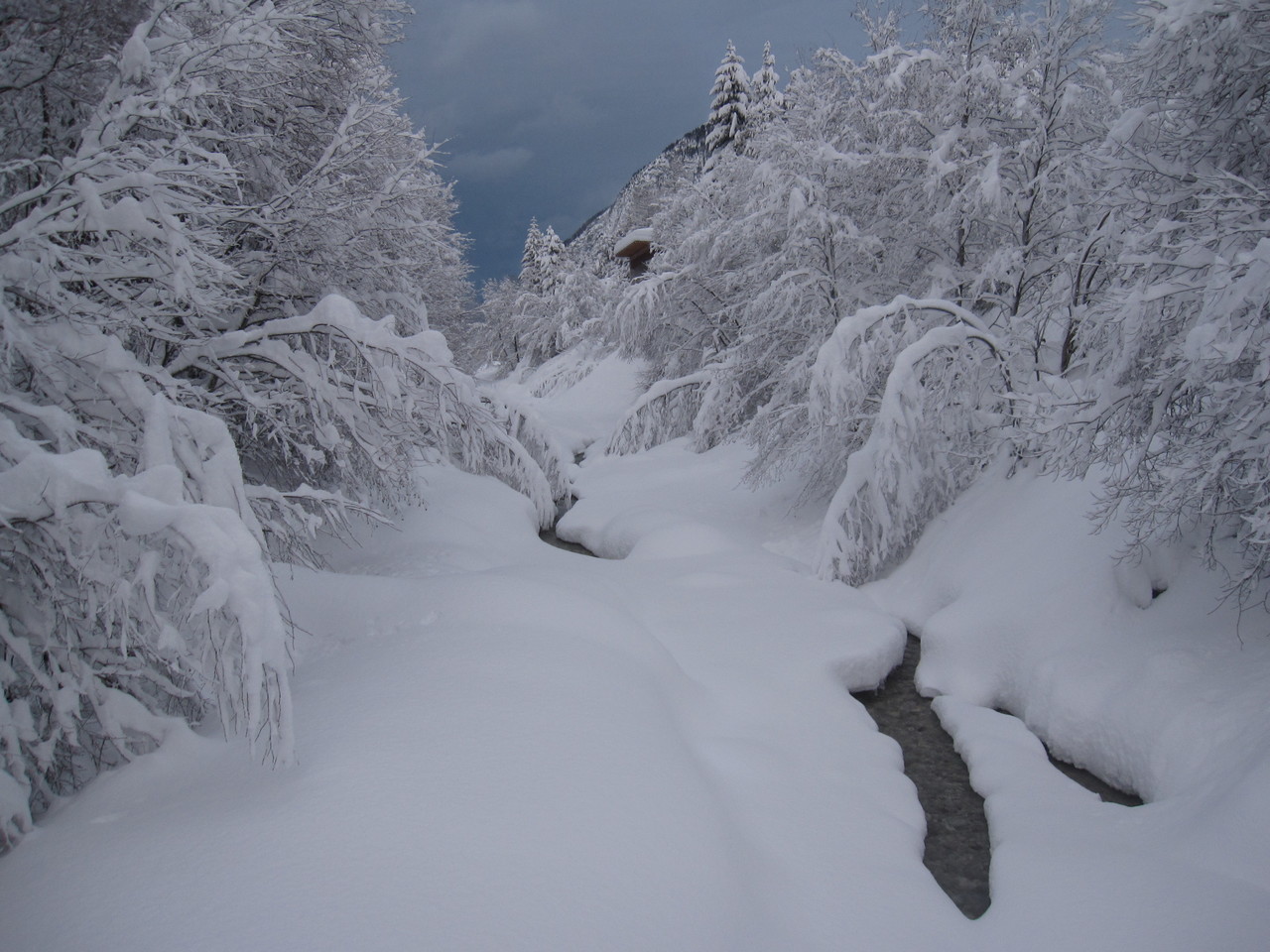
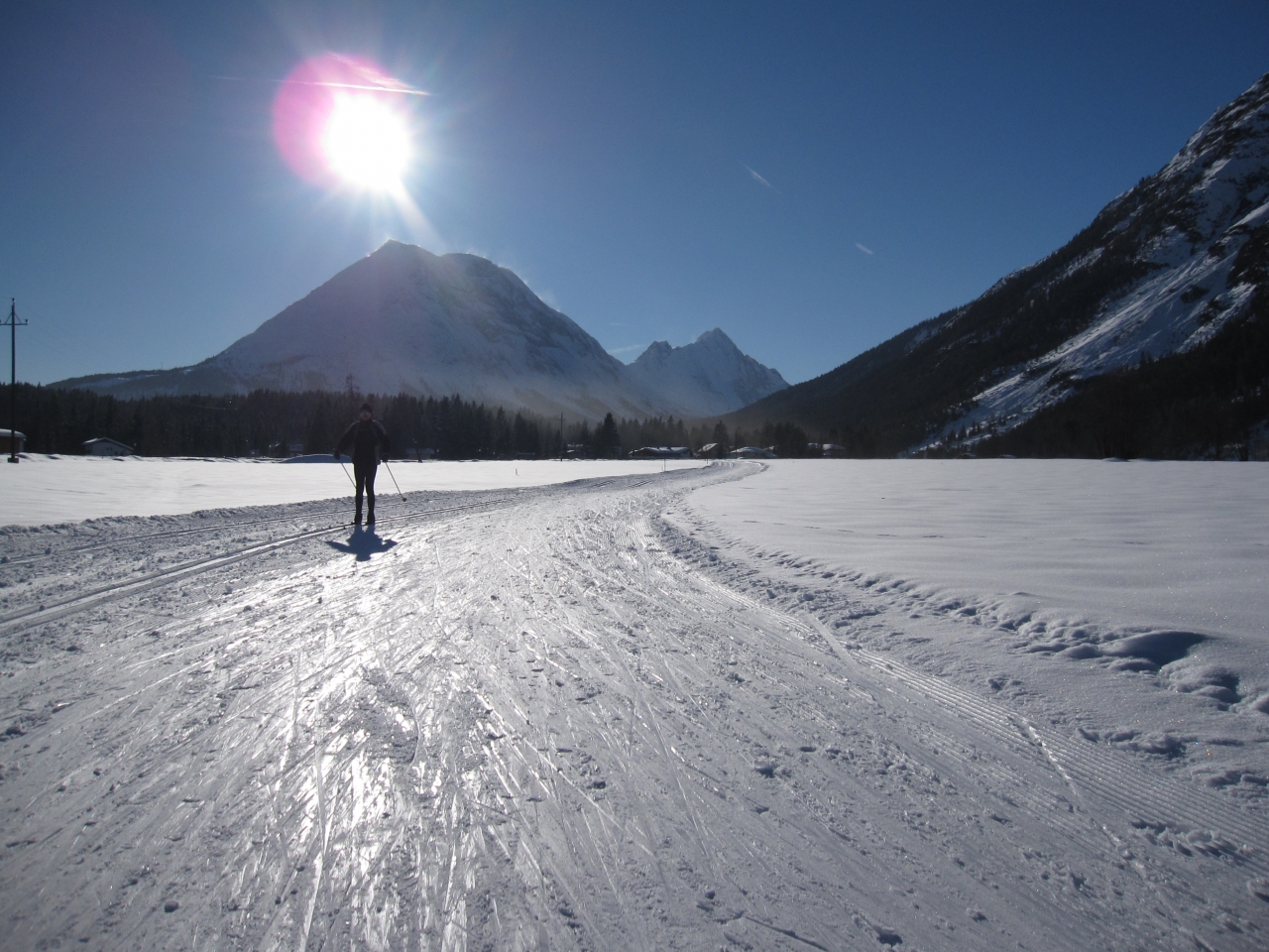
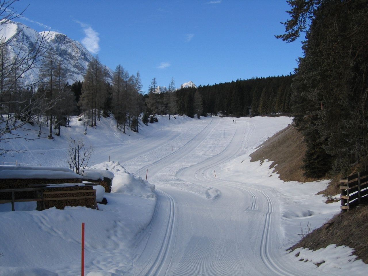
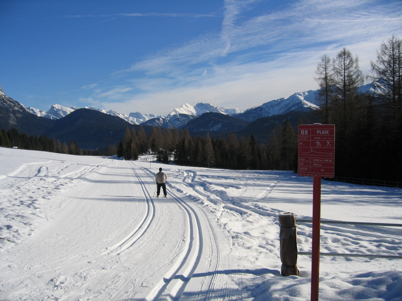
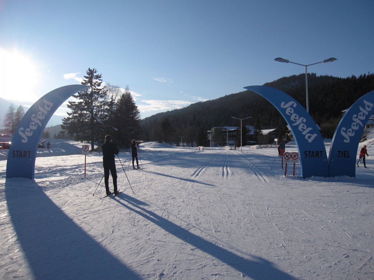
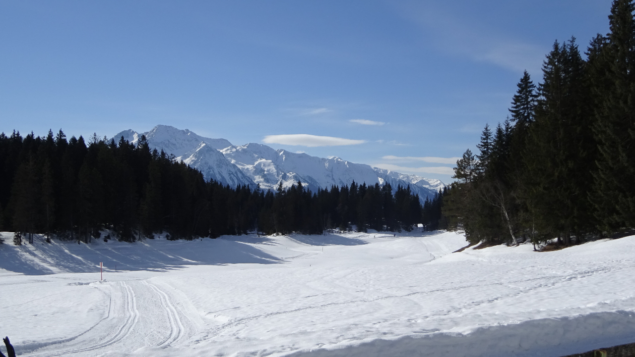
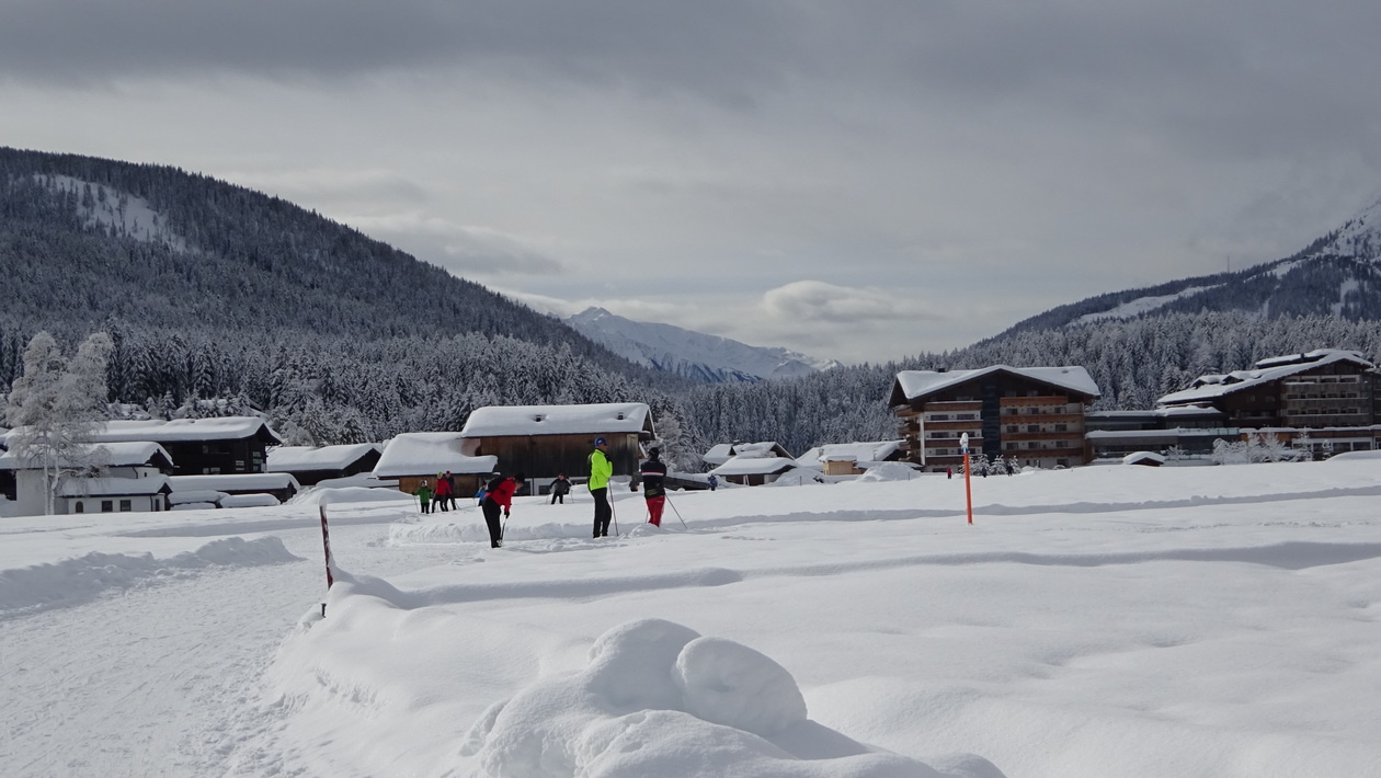
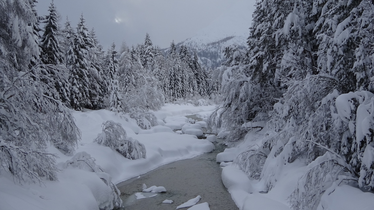
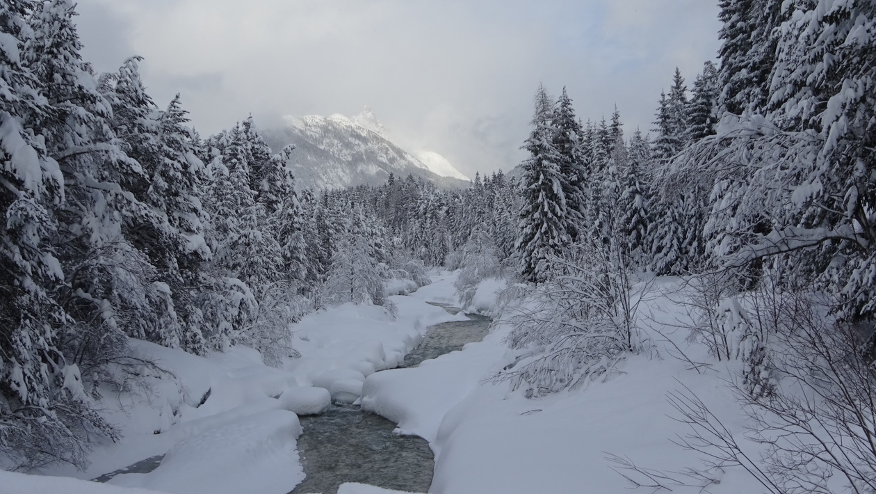
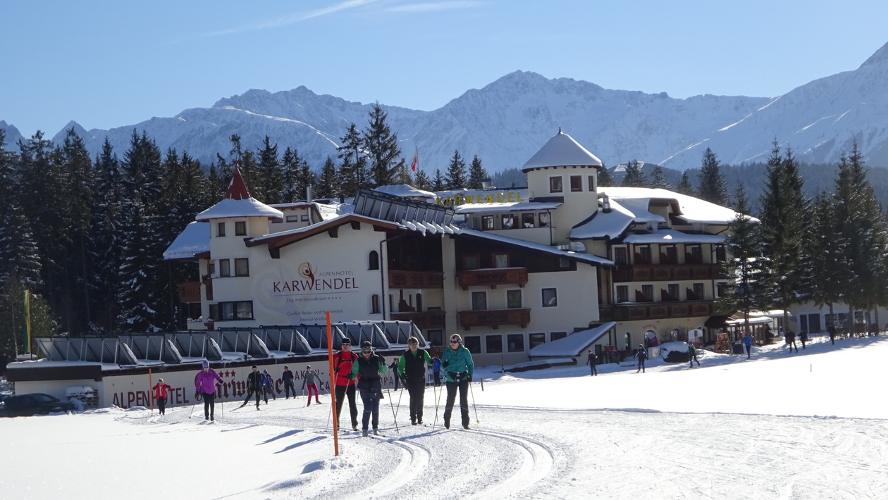
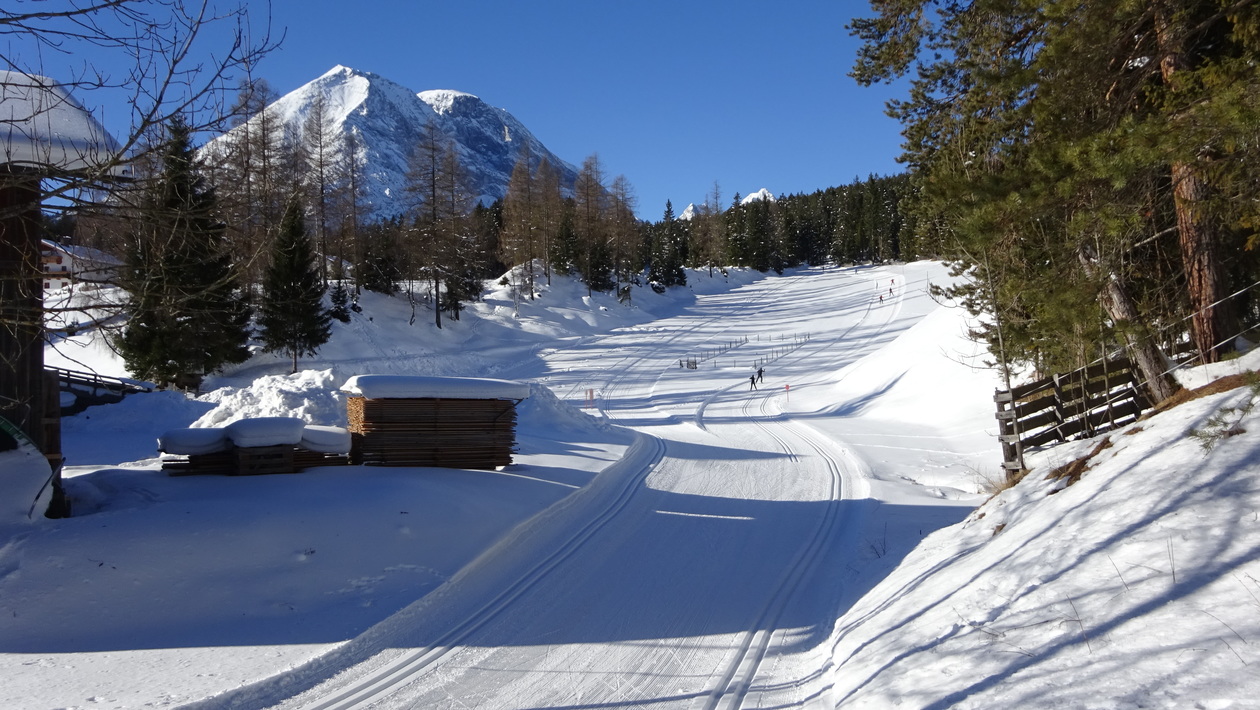
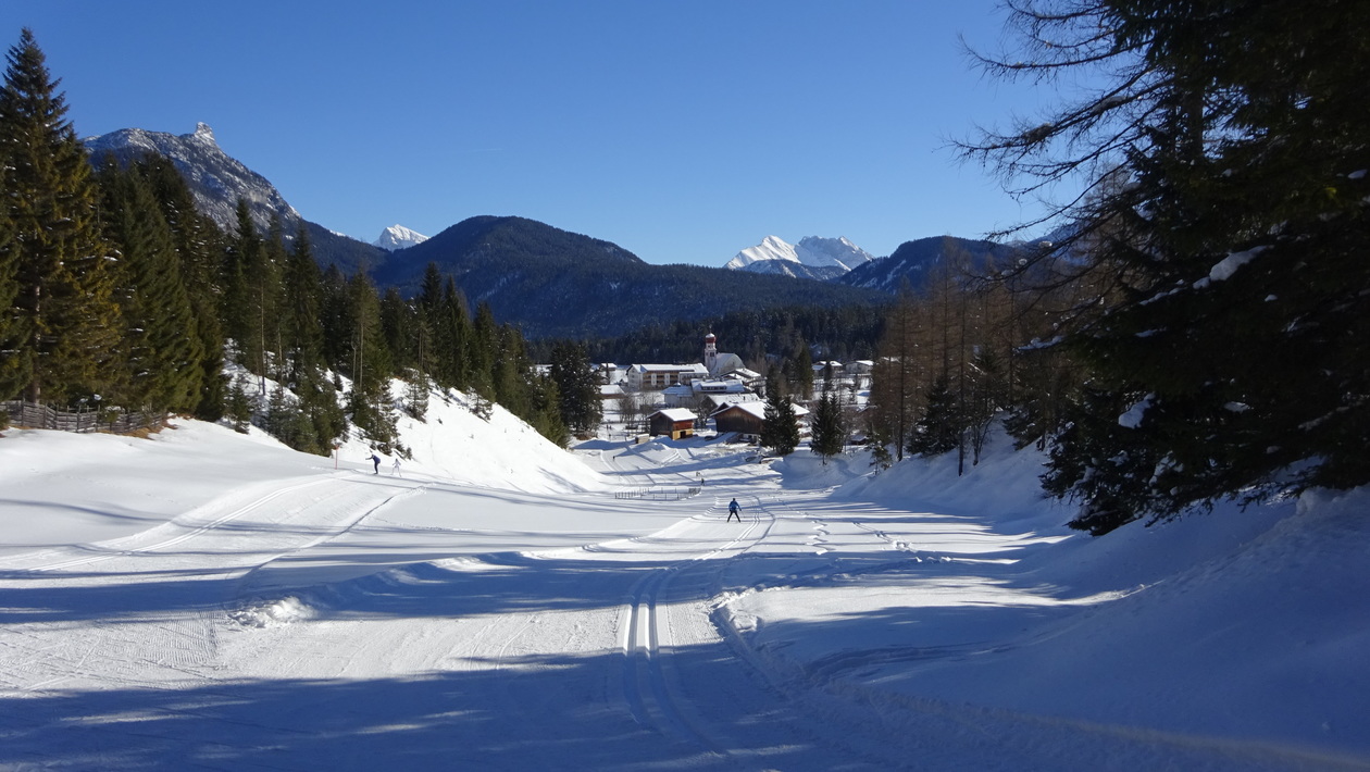
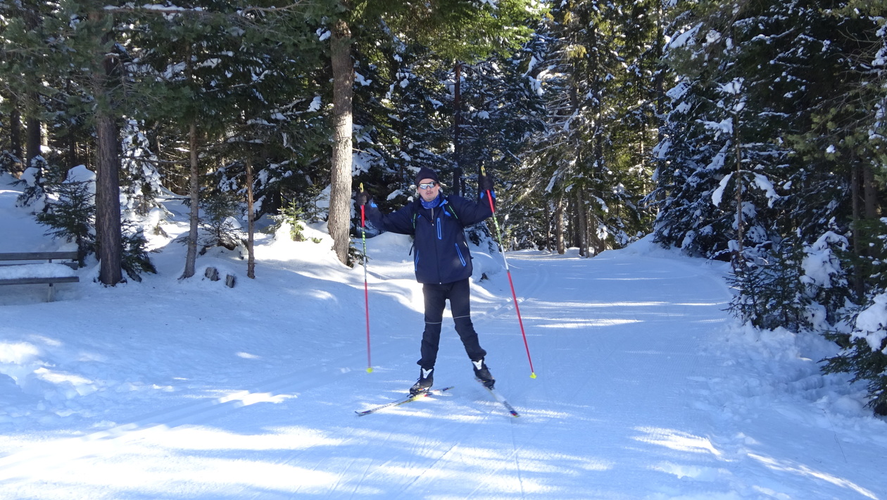
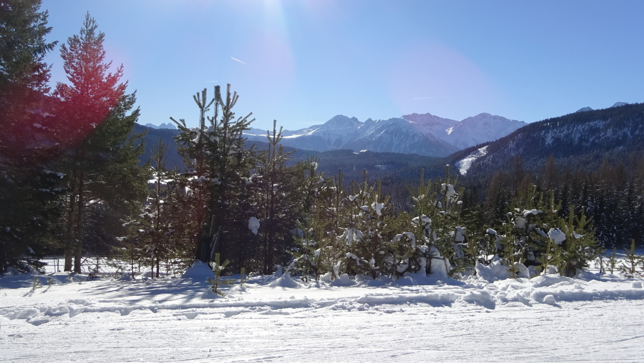
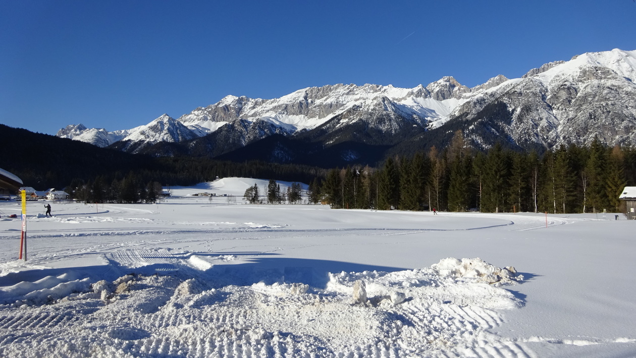
bei Traumwetter und mal wieder super Schnee (gegenüber letzten Jahr)

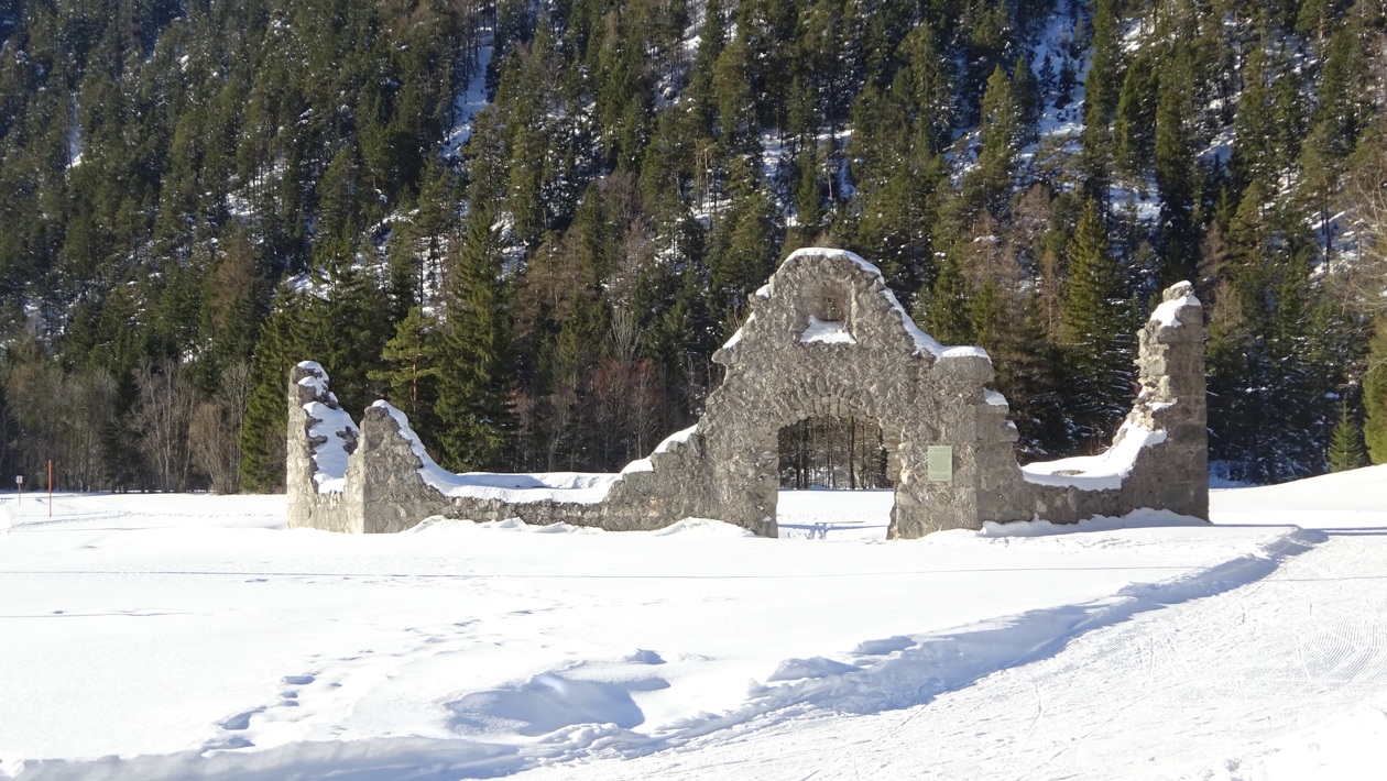
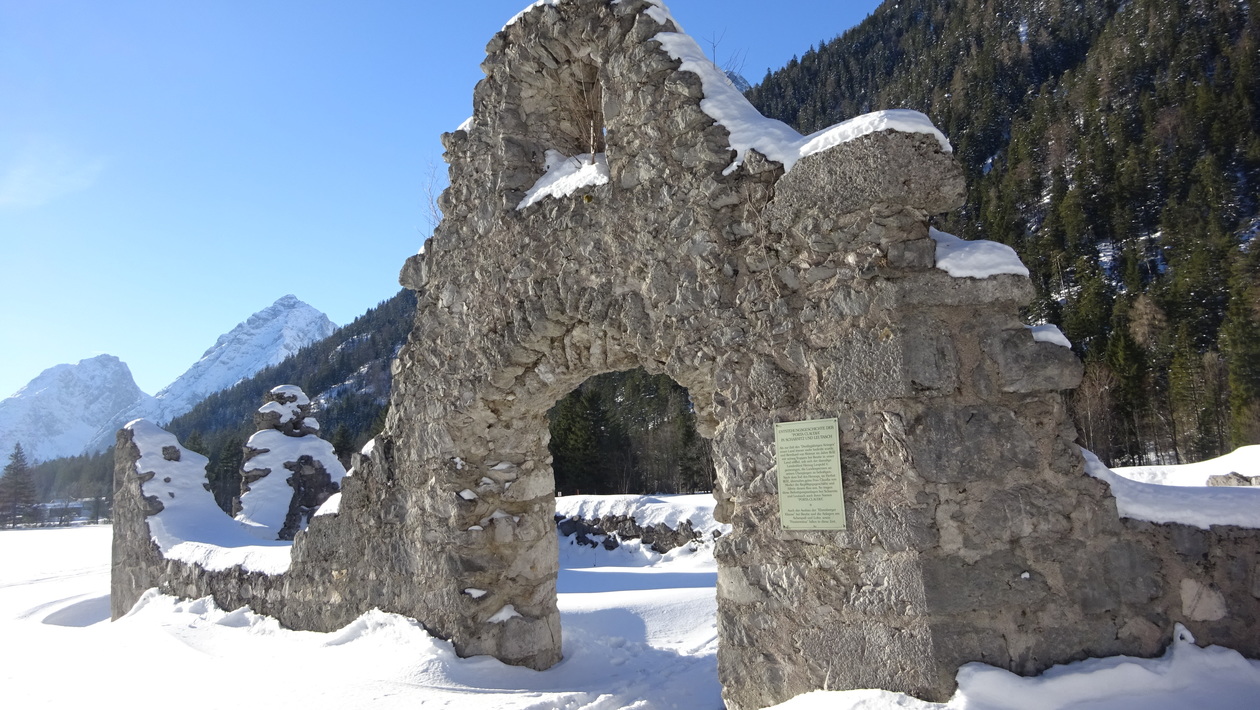
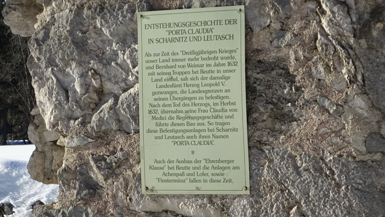
Map of the route “Leutasch”: 26,88 km, 879 m of climbing and 855 m of descent, elevation between 1.142 m and 1.320 m, time 06:14:48. It is a loop that starts and ends at 47.36764, 11.14259 (latitude, longitude).
Gesamtstrecke: 26.92 km
Maximale Höhe: 1320 m
Gesamtanstieg: 879 m
Gesamtzeit: 06:15:21
Download file: Plaik-Bushaltestelle.gpx
Maximale Höhe: 1320 m
Gesamtanstieg: 879 m
Gesamtzeit: 06:15:21